
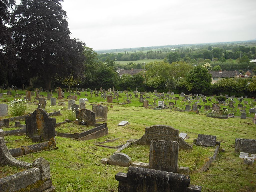
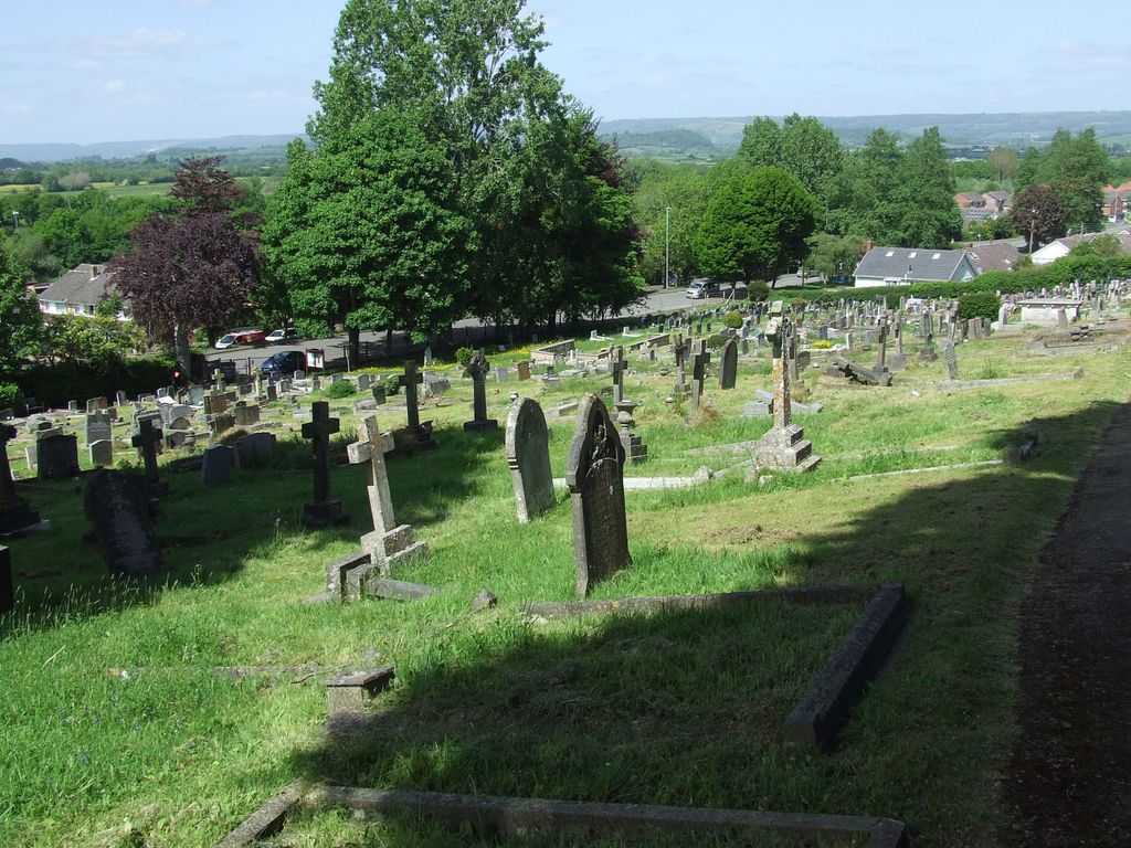
| Memorials | : | 1 |
| Location | : | Glastonbury, Mendip District, England |
| Coordinate | : | 51.1565160, -2.7132380 |
frequently asked questions (FAQ):
-
Where is Glastonbury Cemetery?
Glastonbury Cemetery is located at Glastonbury, Mendip District ,Somerset ,England.
-
Glastonbury Cemetery cemetery's updated grave count on graveviews.com?
0 memorials
-
Where are the coordinates of the Glastonbury Cemetery?
Latitude: 51.1565160
Longitude: -2.7132380

Nearby Cemetories:
1. Saint John the Baptist Churchyard
Glastonbury, Mendip District, England
Coordinate: 51.1481520, -2.7161400
2. Glastonbury Abbey
Glastonbury, Mendip District, England
Coordinate: 51.1464996, -2.7151000
3. St Benedict Churchyard
Glastonbury, Mendip District, England
Coordinate: 51.1465970, -2.7196900
4. Holy Trinity Church
Godney, Mendip District, England
Coordinate: 51.1793400, -2.7377400
5. Holy Trinity Churchyard
Street, Mendip District, England
Coordinate: 51.1310100, -2.7330800
6. Religious Society of Friends Quaker Cemetery
Street, Mendip District, England
Coordinate: 51.1294100, -2.7375630
7. Street Cemetery
Street, Mendip District, England
Coordinate: 51.1302840, -2.7508240
8. Christ Church
Coxley, Mendip District, England
Coordinate: 51.1869530, -2.6797580
9. Coxley Methodist Churchyard
Coxley, Mendip District, England
Coordinate: 51.1918900, -2.6723700
10. St. Mary & All Saints Churchyard
Meare, Mendip District, England
Coordinate: 51.1715900, -2.7804100
11. St Nicholas Churchyard
West Pennard, Mendip District, England
Coordinate: 51.1415596, -2.6413050
12. Holy Trinity Churchyard Extension
Walton, Mendip District, England
Coordinate: 51.1234150, -2.7695832
13. Holy Trinity Churchyard
Walton, Mendip District, England
Coordinate: 51.1236200, -2.7709580
14. Christ Church Churchyard
Henton, Mendip District, England
Coordinate: 51.2056460, -2.7256380
15. St. Matthew Churchyard
Wookey, Mendip District, England
Coordinate: 51.2093000, -2.6893000
16. St Leonard Churchyard
Butleigh, Mendip District, England
Coordinate: 51.1025800, -2.6868850
17. Saint James Churchyard
West Bradley, Mendip District, England
Coordinate: 51.1293030, -2.6332386
18. St Peter Churchyard
North Wootton, Mendip District, England
Coordinate: 51.1738520, -2.6252470
19. St. Dunstan Churchyard
Baltonsborough, Mendip District, England
Coordinate: 51.1107200, -2.6557600
20. Wells Cemetery
Wells, Mendip District, England
Coordinate: 51.2088240, -2.6640120
21. Christ Church Theale
Wedmore, Sedgemoor District, England
Coordinate: 51.2113720, -2.7631570
22. All Saint's Churchyard
Ashcott, Sedgemoor District, England
Coordinate: 51.1309220, -2.8058870
23. St. Cuthbert Churchyard
Wells, Mendip District, England
Coordinate: 51.2080930, -2.6502690
24. Wells Cathedral
Wells, Mendip District, England
Coordinate: 51.2103610, -2.6433940