
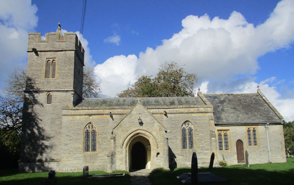
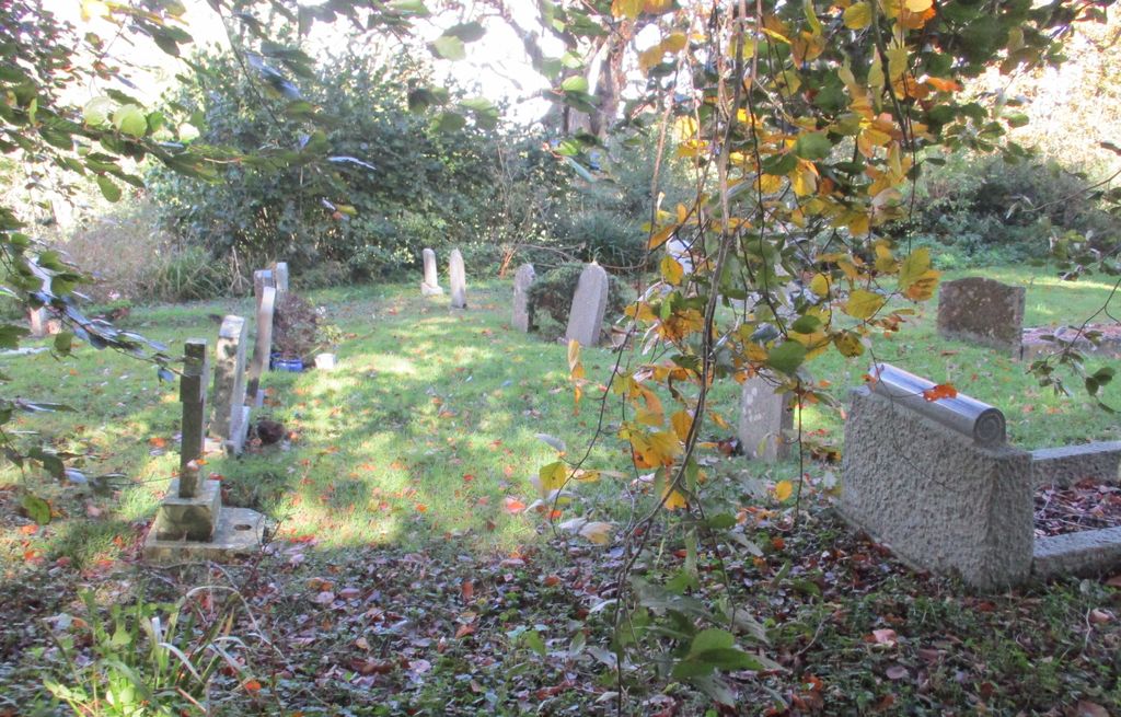
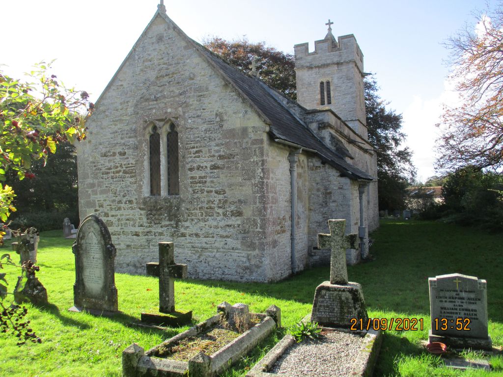
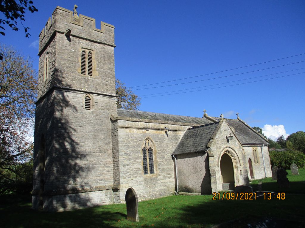
| Memorials | : | 1 |
| Location | : | West Bradley, Mendip District, England |
| Coordinate | : | 51.1293030, -2.6332386 |
frequently asked questions (FAQ):
-
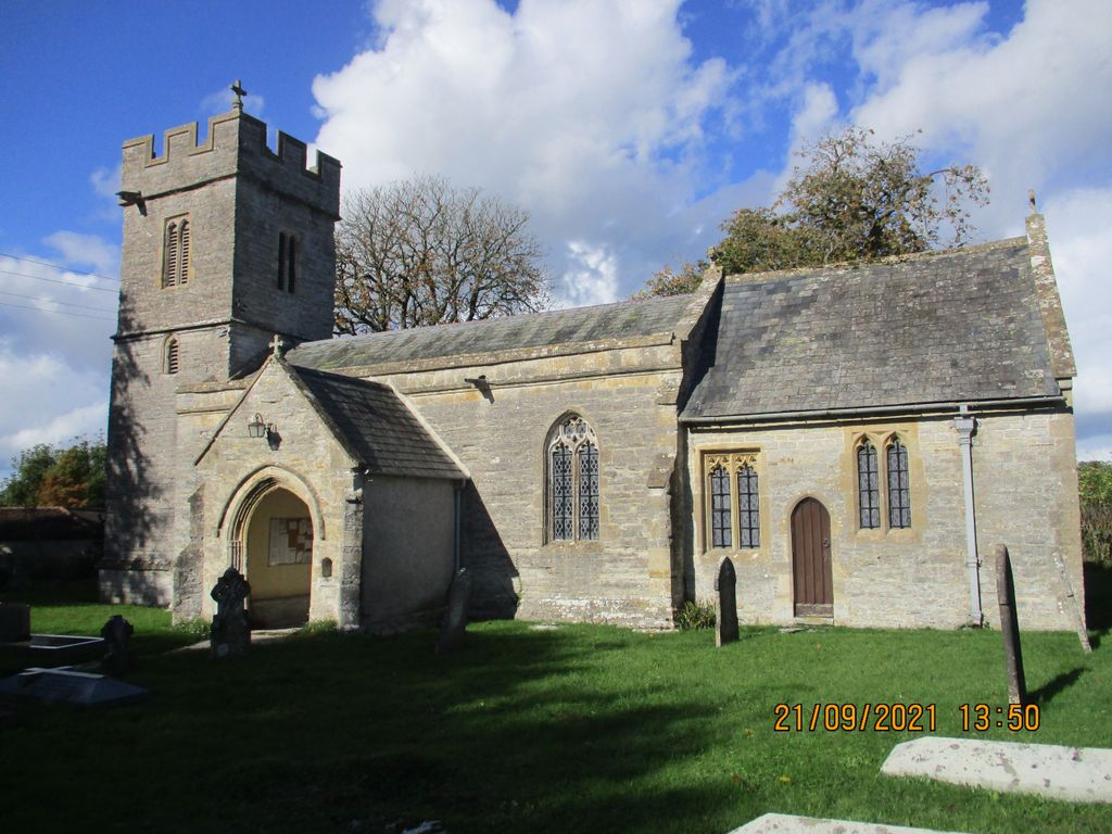
Where is Saint James Churchyard?
Saint James Churchyard is located at West Bradley, Mendip District ,Somerset ,England.
-
Saint James Churchyard cemetery's updated grave count on graveviews.com?
1 memorials
-
Where are the coordinates of the Saint James Churchyard?
Latitude: 51.1293030
Longitude: -2.6332386
Nearby Cemetories:
1. St Nicholas Churchyard
West Pennard, Mendip District, England
Coordinate: 51.1415596, -2.6413050
2. St. Dunstan Churchyard
Baltonsborough, Mendip District, England
Coordinate: 51.1107200, -2.6557600
3. All Saints Churchyard
East Pennard, Mendip District, England
Coordinate: 51.1351890, -2.5773210
4. St Peter's Church
Hornblotton, Mendip District, England
Coordinate: 51.1037752, -2.5846439
5. St Leonard Churchyard
Butleigh, Mendip District, England
Coordinate: 51.1025800, -2.6868850
6. St Peter Churchyard
North Wootton, Mendip District, England
Coordinate: 51.1738520, -2.6252470
7. St. John The Baptist Churchyard
Pilton, Mendip District, England
Coordinate: 51.1650000, -2.5898000
8. St. Peter Churchyard
Lydford-on-Fosse, Mendip District, England
Coordinate: 51.0846000, -2.6231400
9. Church of St Thomas à Becket
Pylle, Mendip District, England
Coordinate: 51.1428350, -2.5630230
10. St. David's Churchyard
Barton St David, South Somerset District, England
Coordinate: 51.0828220, -2.6585470
11. St Marys Churchyard
East Lydford, Mendip District, England
Coordinate: 51.0789890, -2.6116890
12. St Peters Churchyard
East Lydford, Mendip District, England
Coordinate: 51.0789840, -2.6116080
13. Saint Mary's Churchyard
East Lydford, Mendip District, England
Coordinate: 51.0789630, -2.6117072
14. Glastonbury Abbey
Glastonbury, Mendip District, England
Coordinate: 51.1464996, -2.7151000
15. Saint John the Baptist Churchyard
Glastonbury, Mendip District, England
Coordinate: 51.1481520, -2.7161400
16. All Saint's Church
Alford, South Somerset District, England
Coordinate: 51.0916210, -2.5659300
17. St Benedict Churchyard
Glastonbury, Mendip District, England
Coordinate: 51.1465970, -2.7196900
18. Glastonbury Cemetery
Glastonbury, Mendip District, England
Coordinate: 51.1565160, -2.7132380
19. All Saints Churchyard
Kingweston, South Somerset District, England
Coordinate: 51.0793076, -2.6791489
20. St Mary Magdalene Churchyard
Ditcheat, Mendip District, England
Coordinate: 51.1250270, -2.5362010
21. Saint Mary Magdalene Churchyard
Keinton Mandeville, South Somerset District, England
Coordinate: 51.0683291, -2.6471408
22. Holy Trinity Churchyard
Street, Mendip District, England
Coordinate: 51.1310100, -2.7330800
23. Church of St Thomas of Canterbury
Lovington, South Somerset District, England
Coordinate: 51.0754000, -2.5771000
24. Christ Church
Coxley, Mendip District, England
Coordinate: 51.1869530, -2.6797580