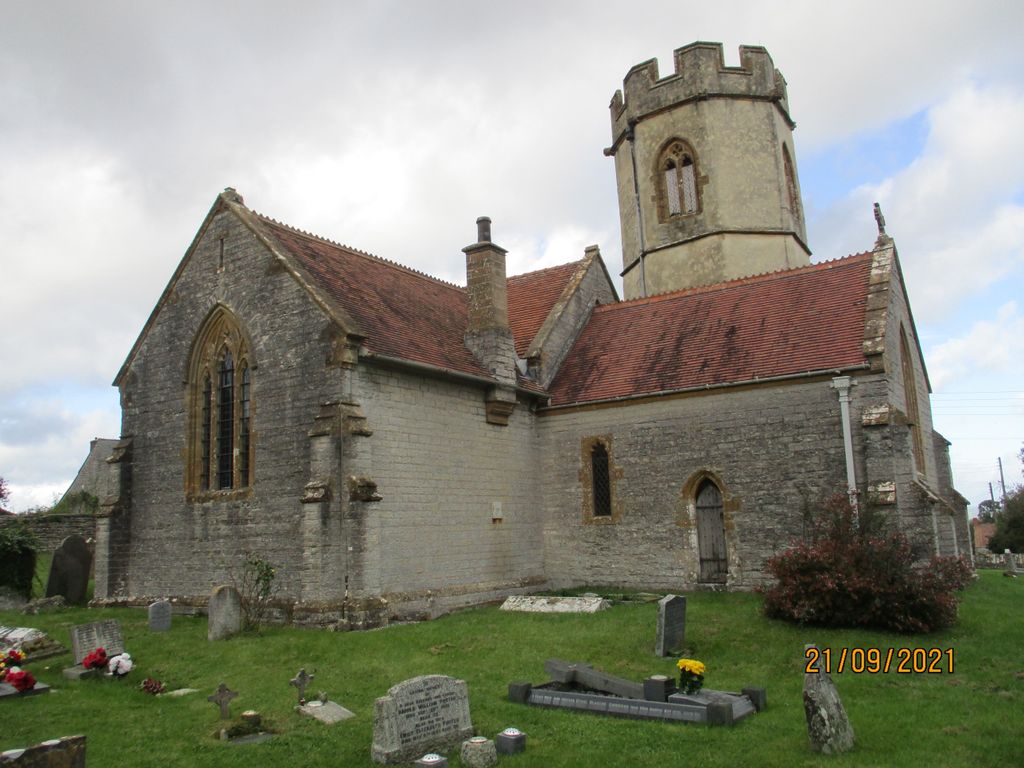
| Memorials | : | 1 |
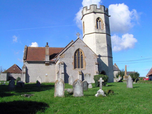
| Location | : | Barton St David, South Somerset District, England |
| Coordinate | : | 51.0828220, -2.6585470 |
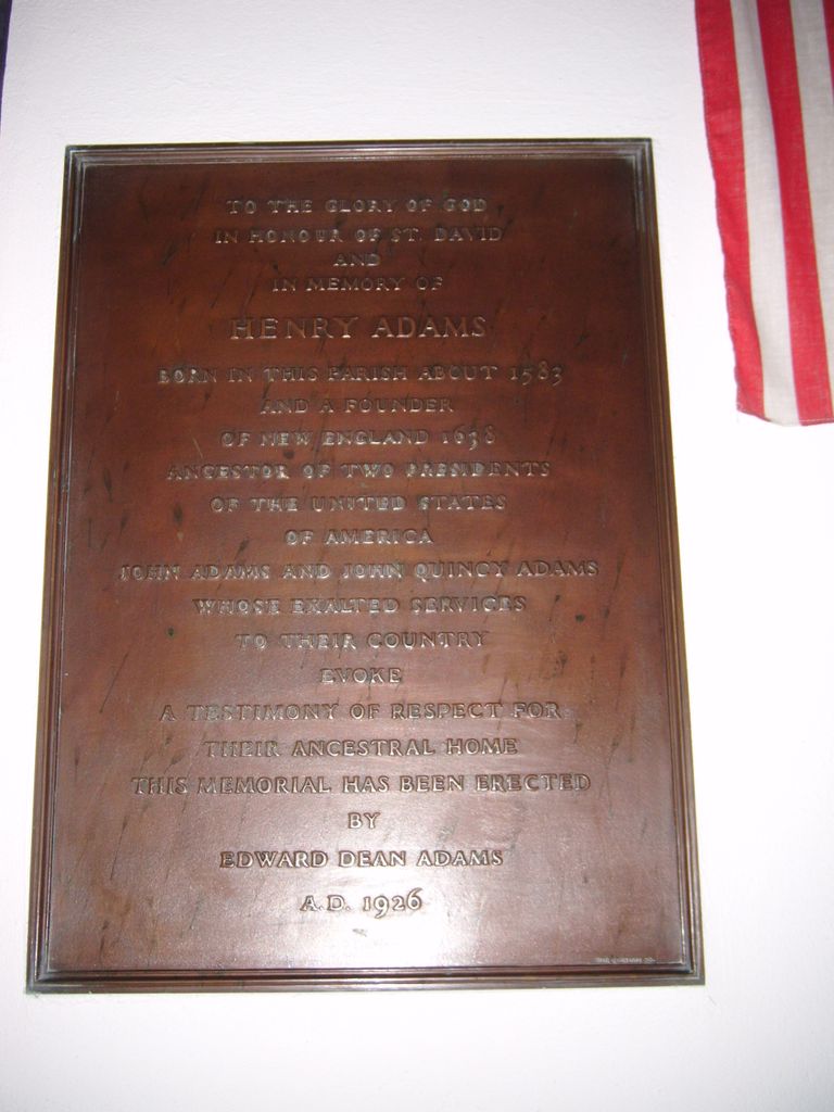
| Description | : | Barton St. David is a village and civil parish on the River Brue adjacent to Keinton Mandeville in Somerset, England. This parish is 5 miles (8 km) south-east of Glastonbury and 5 miles (8 km) north-east of Somerton in the South Somerset district. Barton St David was the birthplace of Henry Adams (1583–1646), who, after their marriage in nearby Charlton Mackrell, emigrated with his wife Edith and nine children to the new colonies in Massachusetts. He was the great-great-grandfather of John Adams, the first Vice President and second President of the United States. He was the great-great-great-grandfather of John Quincy Adams,... Read More |
frequently asked questions (FAQ):
-
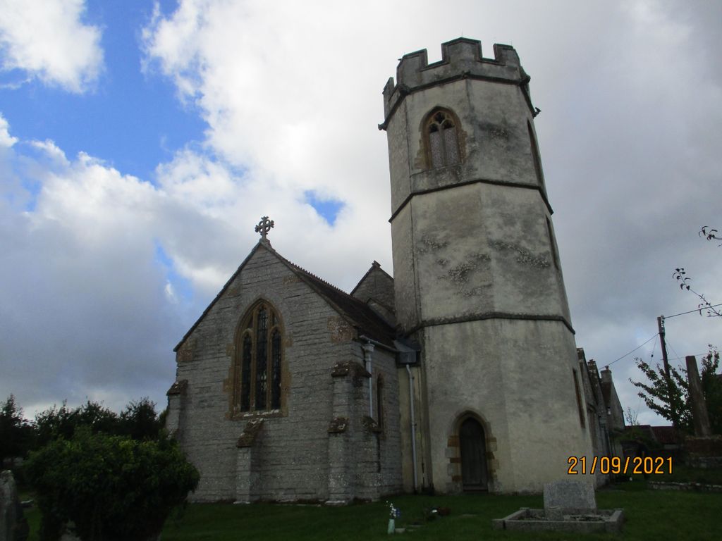
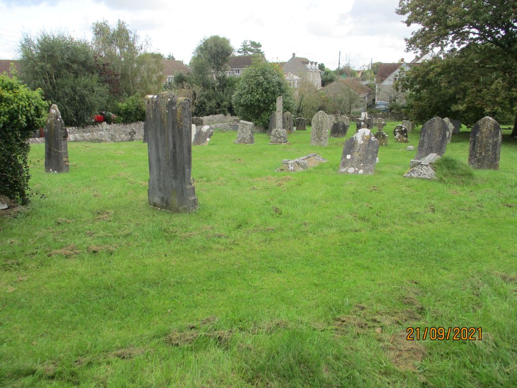
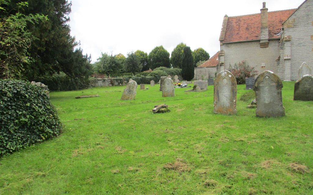
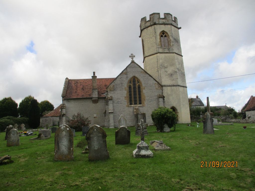
Where is St. David's Churchyard?
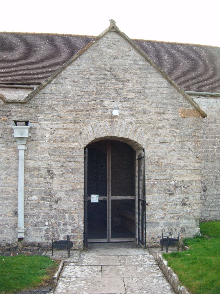
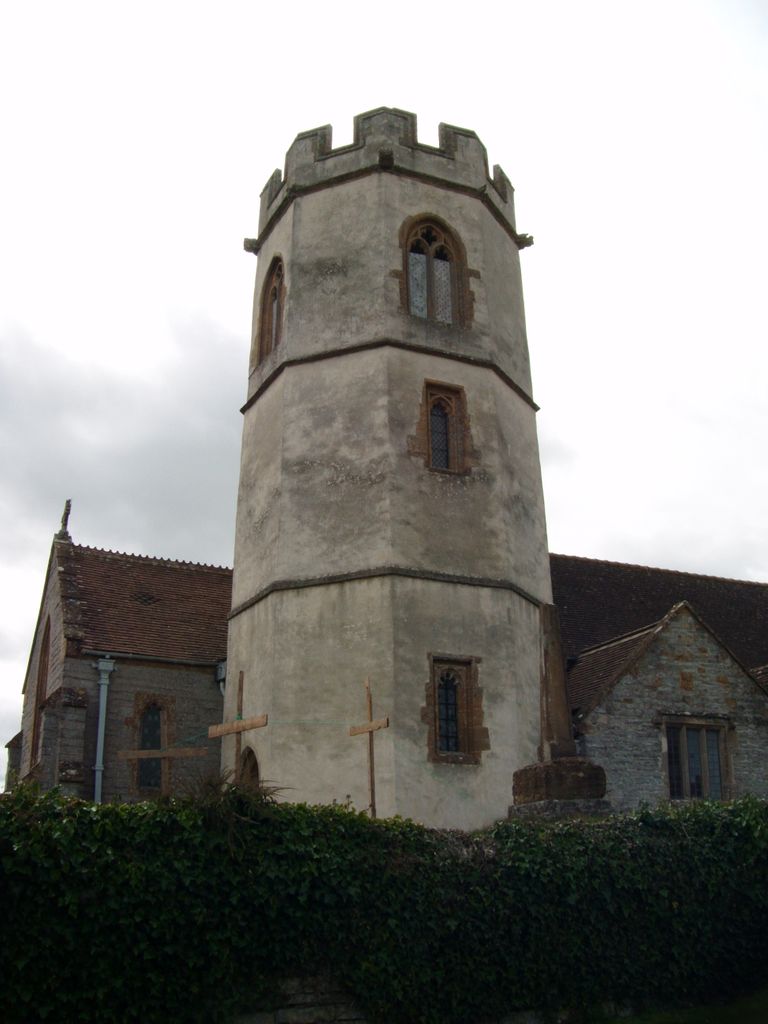
St. David's Churchyard is located at Broadclose Way Barton St David, South Somerset District ,Somerset , TA11 6BUEngland.
-
St. David's Churchyard cemetery's updated grave count on graveviews.com?
1 memorials
-
Where are the coordinates of the St. David's Churchyard?
Latitude: 51.0828220
Longitude: -2.6585470
Nearby Cemetories:
1. All Saints Churchyard
Kingweston, South Somerset District, England
Coordinate: 51.0793076, -2.6791489
2. Saint Mary Magdalene Churchyard
Keinton Mandeville, South Somerset District, England
Coordinate: 51.0683291, -2.6471408
3. St. Peter Churchyard
Lydford-on-Fosse, Mendip District, England
Coordinate: 51.0846000, -2.6231400
4. St Leonard Churchyard
Butleigh, Mendip District, England
Coordinate: 51.1025800, -2.6868850
5. St. Peter & St. Paul's Churchyard
Charlton Adam, South Somerset District, England
Coordinate: 51.0552350, -2.6647930
6. St. Dunstan Churchyard
Baltonsborough, Mendip District, England
Coordinate: 51.1107200, -2.6557600
7. Saint Mary's Churchyard
East Lydford, Mendip District, England
Coordinate: 51.0789630, -2.6117072
8. St Marys Churchyard
East Lydford, Mendip District, England
Coordinate: 51.0789890, -2.6116890
9. St Peters Churchyard
East Lydford, Mendip District, England
Coordinate: 51.0789840, -2.6116080
10. Church of the Virgin Mary
Charlton Mackrell, South Somerset District, England
Coordinate: 51.0524210, -2.6743894
11. Holy Cross Churchyard
Babcary, South Somerset District, England
Coordinate: 51.0563609, -2.6268770
12. Saint James Churchyard
West Bradley, Mendip District, England
Coordinate: 51.1293030, -2.6332386
13. St Peter's Church
Hornblotton, Mendip District, England
Coordinate: 51.1037752, -2.5846439
14. Church of St Thomas of Canterbury
Lovington, South Somerset District, England
Coordinate: 51.0754000, -2.5771000
15. All Saints Churchyard
Kingsdon, South Somerset District, England
Coordinate: 51.0330100, -2.6918330
16. Saint Andrew Churchyard
Compton Dundon, South Somerset District, England
Coordinate: 51.0897330, -2.7442800
17. All Saint's Church
Alford, South Somerset District, England
Coordinate: 51.0916210, -2.5659300
18. St Nicholas Churchyard
West Pennard, Mendip District, England
Coordinate: 51.1415596, -2.6413050
19. St. Peter’s Churchyard
Podimore, South Somerset District, England
Coordinate: 51.0219250, -2.6492310
20. St Nicolas' Churchyard
North Barrow, South Somerset District, England
Coordinate: 51.0623705, -2.5605033
21. Holy Trinity Churchyard
Street, Mendip District, England
Coordinate: 51.1310100, -2.7330800
22. Religious Society of Friends Quaker Cemetery
Street, Mendip District, England
Coordinate: 51.1294100, -2.7375630
23. Glastonbury Abbey
Glastonbury, Mendip District, England
Coordinate: 51.1464996, -2.7151000
24. All Saints Churchyard
East Pennard, Mendip District, England
Coordinate: 51.1351890, -2.5773210

