
| Memorials | : | 8 |
| Location | : | Grayson County, USA |
| Coordinate | : | 36.5777750, -81.2564670 |
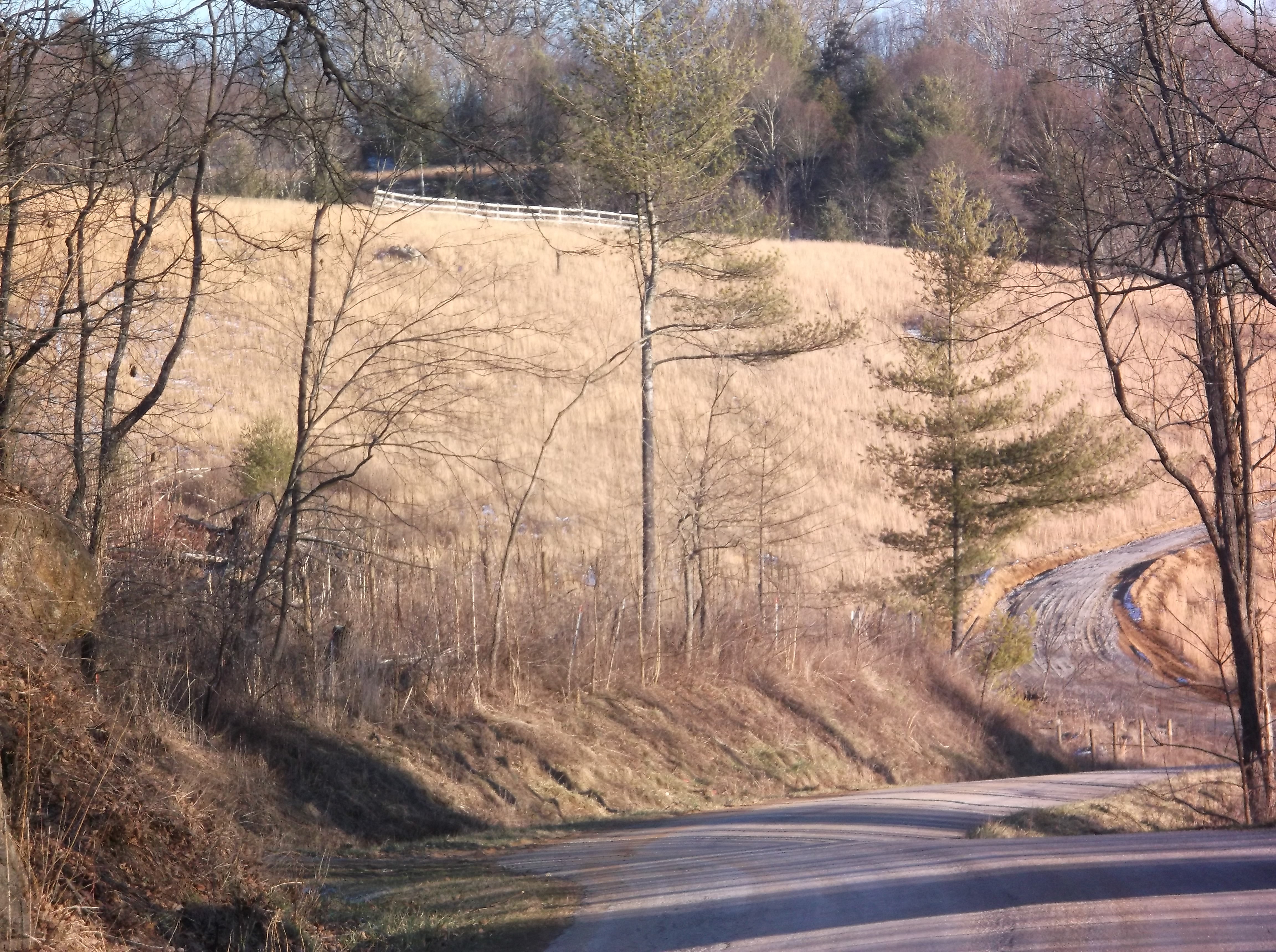
| Description | : | Cemetery is located on the property where Zachariah Riley Ward, Jr. and his wife, Rebecca Osborne, raised their family. The property was commonly known as the Riley Ward Farm. 3/4 mile W on Potato Creek Rd (Rt. 708) of Cox's Chapel Rd (Rt. 601). Cemetery is on the North side, on a hill behind the NorthWestern back side of the barn. All grave locations entered in this cemetery in August 2010 where sourced from the 'Riley Ward Family Cemetery', Grayson County, Virginia webpage. File published 22 January 2008 New River Notes - Historical and Genealogical Resources for the Upper New River... Read More |
frequently asked questions (FAQ):
-
Where is Riley Ward Family Cemetery?
Riley Ward Family Cemetery is located at Potato Creek Road (Rt. 708) Grayson County ,Virginia , 24363USA.
-
Riley Ward Family Cemetery cemetery's updated grave count on graveviews.com?
0 memorials
-
Where are the coordinates of the Riley Ward Family Cemetery?
Latitude: 36.5777750
Longitude: -81.2564670
Nearby Cemetories:
1. Bob Marsh Cemetery
Independence, Grayson County, USA
Coordinate: 36.5730180, -81.2428840
2. Enoch W. Cox Family Cemetery
Elk Creek, Grayson County, USA
Coordinate: 36.5900000, -81.2500000
3. Joshua Cox Family Cemetery
Mouth of Wilson, Grayson County, USA
Coordinate: 36.5757660, -81.2750100
4. John D. Cox Cemetery
Mouth of Wilson, Grayson County, USA
Coordinate: 36.5760635, -81.2760954
5. Isom Cox Cemetery
Grayson County, USA
Coordinate: 36.5927590, -81.2487870
6. Silas Ward Family Cemetery
Bridle Creek, Grayson County, USA
Coordinate: 36.5944650, -81.2447570
7. Potato Creek Cemetery
Mouth of Wilson, Grayson County, USA
Coordinate: 36.5835991, -81.2794037
8. Coxs Chapel Cemetery
Independence, Grayson County, USA
Coordinate: 36.5792007, -81.2285995
9. Gold Hill Cemetery - Old
Independence, Grayson County, USA
Coordinate: 36.6035900, -81.2601310
10. Hash-Shaver Cemetery
Independence, Grayson County, USA
Coordinate: 36.6042160, -81.2484510
11. Jacob G Kirk Cemetery
Bridle Creek, Grayson County, USA
Coordinate: 36.6043810, -81.2725240
12. Dunkard Church Cemetery
Alleghany County, USA
Coordinate: 36.5575700, -81.2286520
13. Gold Hill Cemetery
Independence, Grayson County, USA
Coordinate: 36.6074630, -81.2640310
14. James P. Hash Cemetery
Independence, Grayson County, USA
Coordinate: 36.6074630, -81.2640310
15. Anderson Rutherford Family Cemetery
Fox, Grayson County, USA
Coordinate: 36.5971924, -81.2858573
16. George W Delp Cemetery
Mouth of Wilson, Grayson County, USA
Coordinate: 36.5879040, -81.2934230
17. Osborne Fort Cemetery
Bridle Creek, Grayson County, USA
Coordinate: 36.6009430, -81.2295110
18. Ruth Howell Gravesite
Cox Mill, Grayson County, USA
Coordinate: 36.5906680, -81.2195970
19. Jesse Cox Cemetery
Fox, Grayson County, USA
Coordinate: 36.6061920, -81.2821810
20. Edwards Cemetery
Alleghany County, USA
Coordinate: 36.5425500, -81.2525400
21. J Masten Halsey Cemetery
Mouth of Wilson, Grayson County, USA
Coordinate: 36.5823930, -81.3024720
22. A B Cox Cemetery
Fox, Grayson County, USA
Coordinate: 36.6154450, -81.2567280
23. Rose Family Cemetery
Bridle Creek, Grayson County, USA
Coordinate: 36.6138220, -81.2401380
24. William Ham Family Cemetery
Cox Mill, Grayson County, USA
Coordinate: 36.5920690, -81.2109530