
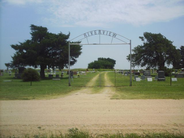
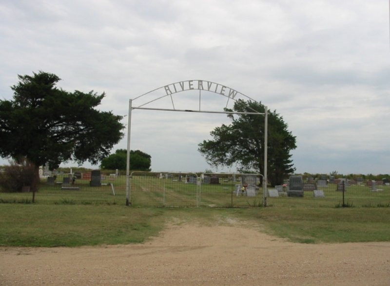
| Memorials | : | 6 |
| Location | : | Alcorn, Kay County, USA |
| Coordinate | : | 36.6300621, -97.4076996 |
frequently asked questions (FAQ):
-
Where is River View Cemetery?
River View Cemetery is located at Alcorn, Kay County ,Oklahoma ,USA.
-
River View Cemetery cemetery's updated grave count on graveviews.com?
5 memorials
-
Where are the coordinates of the River View Cemetery?
Latitude: 36.6300621
Longitude: -97.4076996
Nearby Cemetories:
1. Mount Vernon Cemetery
Lamont, Grant County, USA
Coordinate: 36.6082993, -97.5167007
2. Prairie View Cemetery
Tonkawa, Kay County, USA
Coordinate: 36.6002998, -97.3003006
3. Tonkawa IOOF Cemetery
Tonkawa, Kay County, USA
Coordinate: 36.6955800, -97.3242300
4. Billings Catholic Cemetery
Billings, Noble County, USA
Coordinate: 36.5347700, -97.4348400
5. Eddy New Home Cemetery
Grant County, USA
Coordinate: 36.7311600, -97.4802800
6. Grandview Cemetery
Marland, Noble County, USA
Coordinate: 36.5649400, -97.2792200
7. Tonkawa Indian Cemetery
Tonkawa, Kay County, USA
Coordinate: 36.6726100, -97.2643800
8. Billings Union Cemetery
Billings, Noble County, USA
Coordinate: 36.5056000, -97.4163971
9. Heitholt Memorial Cemetery
Garfield County, USA
Coordinate: 36.5353012, -97.5156021
10. Floral Ridge Cemetery
Billings, Noble County, USA
Coordinate: 36.5139900, -97.3190600
11. Lamont Cemetery
Lamont, Grant County, USA
Coordinate: 36.6967010, -97.5792007
12. Mount Olive Cemetery
Nardin, Kay County, USA
Coordinate: 36.7957993, -97.4593964
13. Bayard Cemetery
Deer Creek, Grant County, USA
Coordinate: 36.7747002, -97.5344009
14. Blackwell Cemetery
Blackwell, Kay County, USA
Coordinate: 36.7752991, -97.2809982
15. Ceres Cemetery
Ceres, Noble County, USA
Coordinate: 36.4773610, -97.2877550
16. Mount Pleasant Cemetery
Salt Fork, Grant County, USA
Coordinate: 36.6217003, -97.6333008
17. Round Grove Cemetery
Tonkawa, Kay County, USA
Coordinate: 36.7094002, -97.1967010
18. White Cemetery
Hunter, Garfield County, USA
Coordinate: 36.5788994, -97.6660995
19. Cowboy Hill Cemetery
Ponca City, Kay County, USA
Coordinate: 36.6068993, -97.1380997
20. White Eagle Monument
Marland, Noble County, USA
Coordinate: 36.5695300, -97.1448000
21. Garber Cemetery
Garber, Garfield County, USA
Coordinate: 36.4419200, -97.5686700
22. Ponca Tribal Cemetery
Ponca City, Kay County, USA
Coordinate: 36.6432991, -97.1132965
23. Greenwood Cemetery
Pond Creek, Grant County, USA
Coordinate: 36.6366600, -97.7054000
24. Darland Cemetery
Deer Creek, Grant County, USA
Coordinate: 36.8400002, -97.5528030