
| Memorials | : | 0 |
| Location | : | Waurika, Jefferson County, USA |
| Coordinate | : | 34.1448420, -97.9766540 |
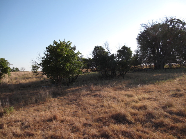
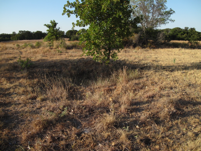
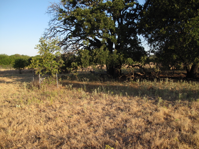
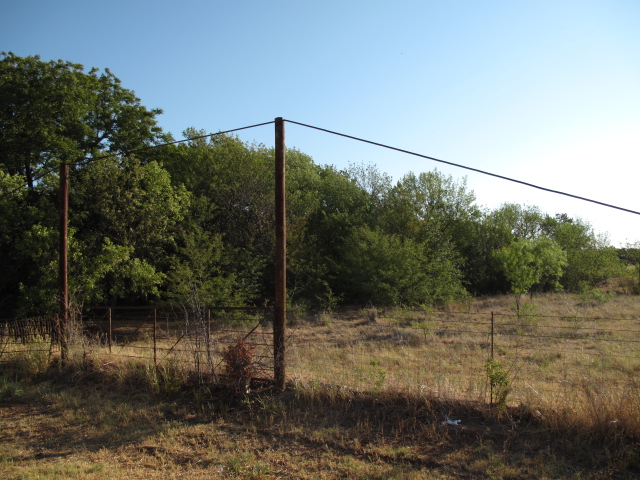
| Description | : | Perry Grove Cemetery was once on the old road. The road have now been relocated and Perry Grove is now out in a ranchers field. To find it start at the intersection of hiway 70 and hiway 81 just east of Waurika, drive south on hiway 81 for 1 mile. You should now be just on the south side of an intermitten stream. Walk to the east 1/4 of a mile to the cemetery. There are numberous unmark grave. Waurika County Court did not have any information on this site. I found the list of interments at he Oklahoma City... Read More |
frequently asked questions (FAQ):
-
Where is Perry Grove Cemetery?
Perry Grove Cemetery is located at Waurika, Jefferson County ,Oklahoma ,USA.
-
Perry Grove Cemetery cemetery's updated grave count on graveviews.com?
0 memorials
-
Where are the coordinates of the Perry Grove Cemetery?
Latitude: 34.1448420
Longitude: -97.9766540
Nearby Cemetories:
1. Sugden Cemetery
Sugden, Jefferson County, USA
Coordinate: 34.0978012, -97.9807968
2. Waurika Cemetery
Waurika, Jefferson County, USA
Coordinate: 34.1581001, -98.0314026
3. Addington Cemetery
Addington, Jefferson County, USA
Coordinate: 34.2285995, -97.9606018
4. Monument Hill Burial Site
Addington, Jefferson County, USA
Coordinate: 34.2453200, -97.9222600
5. Old Ryan Cemetery
Ryan, Jefferson County, USA
Coordinate: 34.0289760, -97.9743580
6. Ryan Cemetery
Ryan, Jefferson County, USA
Coordinate: 34.0102997, -97.9411011
7. Hastings Cemetery
Hastings, Jefferson County, USA
Coordinate: 34.2380981, -98.1232986
8. Lone Star Cemetery
Hooper, Cotton County, USA
Coordinate: 34.1758080, -98.1758881
9. Benvanue Cemetery
Byers, Clay County, USA
Coordinate: 34.0568730, -98.1509390
10. Benton Cemetery
Ryan, Jefferson County, USA
Coordinate: 33.9678090, -97.9311980
11. Riverland Cemetery
Stanfield, Clay County, USA
Coordinate: 33.9836006, -98.0864029
12. Diamond Cemetery
Stephens County, USA
Coordinate: 34.3319016, -98.0550003
13. Riverside Cemetery
Byers, Clay County, USA
Coordinate: 34.0620000, -98.2060000
14. Woolsey Cemetery
Stephens County, USA
Coordinate: 34.3205986, -97.8242035
15. Hurnville Cemetery
Hurnville, Clay County, USA
Coordinate: 33.9708400, -98.1455470
16. Temple Masonic Cemetery
Temple, Cotton County, USA
Coordinate: 34.2538986, -98.2358017
17. Fairlawn Cemetery
Comanche, Stephens County, USA
Coordinate: 34.3903008, -97.9589005
18. Oscar Cemetery
Jefferson County, USA
Coordinate: 33.9836006, -97.7455978
19. Terral Cemetery
Terral, Jefferson County, USA
Coordinate: 33.8972015, -97.9186020
20. Petrolia Cemetery
Petrolia, Clay County, USA
Coordinate: 34.0039690, -98.2332660
21. Corum Cemetery
Stephens County, USA
Coordinate: 34.3697014, -98.1222000
22. Fleetwood Cemetery
Terral, Jefferson County, USA
Coordinate: 33.8964500, -97.8526900
23. Tucker Cemetery
Comanche, Stephens County, USA
Coordinate: 34.4139000, -97.9159400
24. Oak Grove Cemetery
Empire City, Stephens County, USA
Coordinate: 34.4195300, -98.0350500