
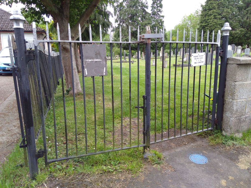
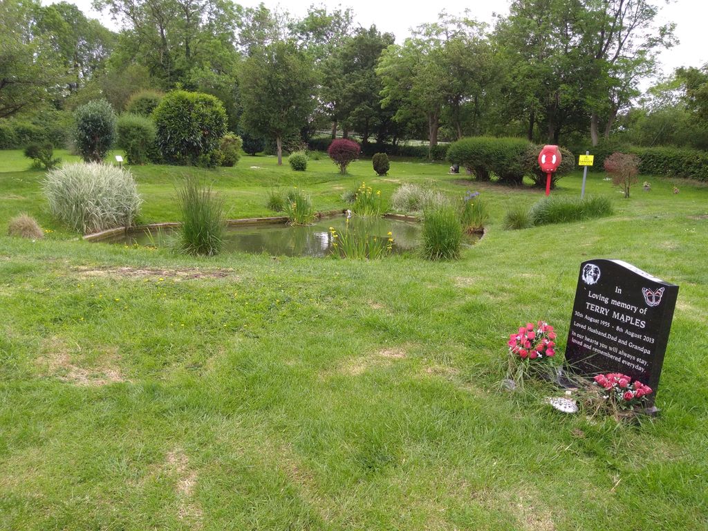
| Memorials | : | 10 |
| Location | : | Ropsley, South Kesteven District, England |
| Coordinate | : | 52.8958475, -0.5254147 |
frequently asked questions (FAQ):
-
Where is Ropsley Churchyard Extension?
Ropsley Churchyard Extension is located at Ropsley, South Kesteven District ,Lincolnshire ,England.
-
Ropsley Churchyard Extension cemetery's updated grave count on graveviews.com?
10 memorials
-
Where are the coordinates of the Ropsley Churchyard Extension?
Latitude: 52.8958475
Longitude: -0.5254147
Nearby Cemetories:
1. St. Peter's Churchyard
Ropsley, South Kesteven District, England
Coordinate: 52.8959736, -0.5259958
2. St. Mary Magdalene Churchyard
Old Somerby, South Kesteven District, England
Coordinate: 52.8944900, -0.5672830
3. Saint Andrew Churchyard
Boothby Pagnell, South Kesteven District, England
Coordinate: 52.8660600, -0.5578600
4. St John the Baptist Churchyard
Londonthorpe, South Kesteven District, England
Coordinate: 52.9312060, -0.5837350
5. Saint Michael Churchyard
Heydour, South Kesteven District, England
Coordinate: 52.9443700, -0.4987000
6. St. Michael's and All Angels Churchyard
Heydour, South Kesteven District, England
Coordinate: 52.9444900, -0.4987800
7. St Mary Magdalene
Bitchfield, South Kesteven District, England
Coordinate: 52.8441000, -0.5418600
8. St. Lucia Churchyard
Dembleby, North Kesteven District, England
Coordinate: 52.9268000, -0.4512300
9. St Thomas a Beckett Churchyard
Bassingthorpe, South Kesteven District, England
Coordinate: 52.8457500, -0.5669900
10. St Nicholas Churchyard
Walcot, North Kesteven District, England
Coordinate: 52.9035930, -0.4252890
11. St Thomas Churchyard
Aunsby, North Kesteven District, England
Coordinate: 52.9367820, -0.4470450
12. St. Guthlac Churchyard
Little Ponton, South Kesteven District, England
Coordinate: 52.8796100, -0.6271200
13. St Andrew Churchyard
Kelby, North Kesteven District, England
Coordinate: 52.9608000, -0.5074000
14. St. Andrew's Churchyard
South Kesteven District, England
Coordinate: 52.9608000, -0.5074000
15. Grantham Cemetery and Crematorium
Grantham, South Kesteven District, England
Coordinate: 52.9095320, -0.6326120
16. Holy Cross Churchyard
Great Ponton, South Kesteven District, England
Coordinate: 52.8638270, -0.6275570
17. St Andrew Churchyard
Folkingham, South Kesteven District, England
Coordinate: 52.8903840, -0.4092130
18. St. Wulfram Churchyard
Grantham, South Kesteven District, England
Coordinate: 52.9148180, -0.6408520
19. Manthorpe Road Old Cemetery
Grantham, South Kesteven District, England
Coordinate: 52.9173900, -0.6409900
20. St John the Evangelist Churchyard
Manthorpe, South Kesteven District, England
Coordinate: 52.9306320, -0.6323160
21. St. Peter and St. Paul's Churchyard
Belton, South Kesteven District, England
Coordinate: 52.9451000, -0.6177000
22. St Peter & St Paul Churchyard
Osbournby, North Kesteven District, England
Coordinate: 52.9298800, -0.4105100
23. St. Mary's Churchyard
Wilsford, North Kesteven District, England
Coordinate: 52.9751600, -0.5023700
24. St John the Evangelist Churchyard
Corby Glen, South Kesteven District, England
Coordinate: 52.8132500, -0.5157630