
| Memorials | : | 73 |
| Location | : | Grantham, South Kesteven District, England |
| Coordinate | : | 52.9173900, -0.6409900 |
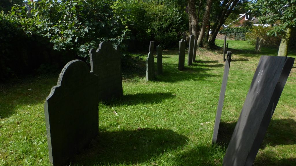
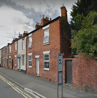
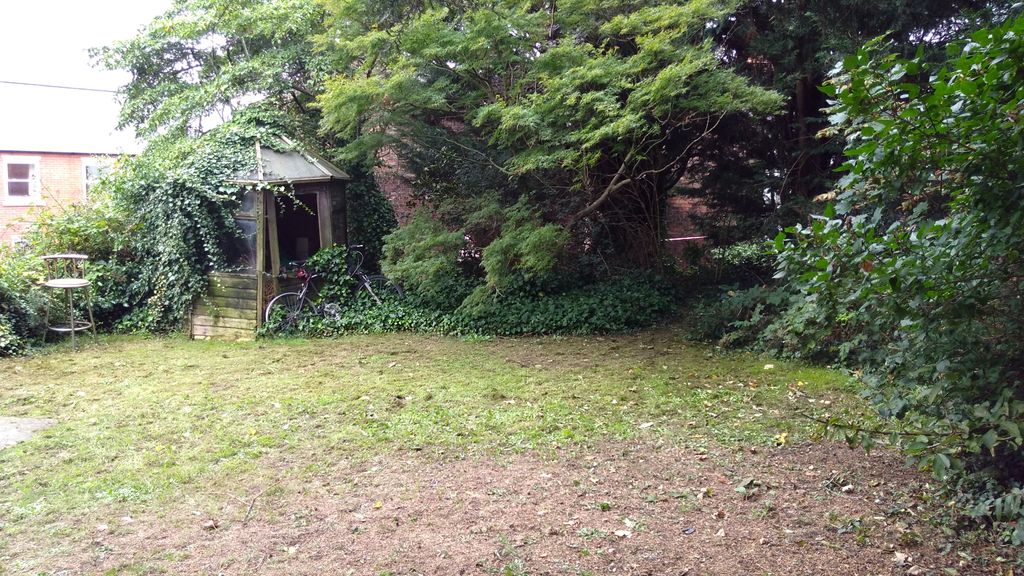
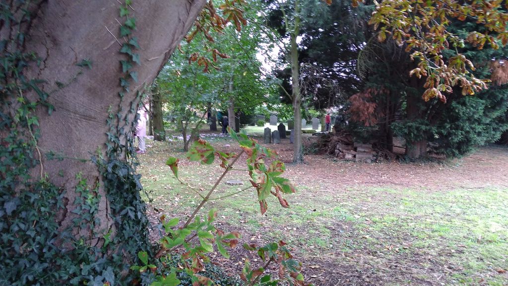
| Description | : | The Manthorpe Road burial ground is where most St Wulframs’ burials took place after 1812 when St Wulfram’s churchyard was full except for existing family graves. The burial ground was used until the municipal cemetery was opened in 1856 at Harrowby Road. It is a quiet and peaceful spot unknown to many people. |
frequently asked questions (FAQ):
-
Where is Manthorpe Road Old Cemetery?
Manthorpe Road Old Cemetery is located at Grantham, South Kesteven District ,Lincolnshire ,England.
-
Manthorpe Road Old Cemetery cemetery's updated grave count on graveviews.com?
73 memorials
-
Where are the coordinates of the Manthorpe Road Old Cemetery?
Latitude: 52.9173900
Longitude: -0.6409900

Nearby Cemetories:
1. St. Wulfram Churchyard
Grantham, South Kesteven District, England
Coordinate: 52.9148180, -0.6408520
2. Grantham Cemetery and Crematorium
Grantham, South Kesteven District, England
Coordinate: 52.9095320, -0.6326120
3. St John the Evangelist Churchyard
Manthorpe, South Kesteven District, England
Coordinate: 52.9306320, -0.6323160
4. St Sebastian Churchyard
Great Gonerby, South Kesteven District, England
Coordinate: 52.9329260, -0.6657700
5. St. Peter and St. Paul's Churchyard
Belton, South Kesteven District, England
Coordinate: 52.9451000, -0.6177000
6. All Saints Churchyard
Barrowby, South Kesteven District, England
Coordinate: 52.9186420, -0.6946810
7. St John the Baptist Churchyard
Londonthorpe, South Kesteven District, England
Coordinate: 52.9312060, -0.5837350
8. St. Guthlac Churchyard
Little Ponton, South Kesteven District, England
Coordinate: 52.8796100, -0.6271200
9. St Marys Churchyard
Syston, South Kesteven District, England
Coordinate: 52.9578420, -0.6172940
10. St Mary and St Peter Churchyard
Harlaxton, South Kesteven District, England
Coordinate: 52.8836860, -0.6895640
11. St Nicholas Churchyard
Barkston, South Kesteven District, England
Coordinate: 52.9629960, -0.6129380
12. All Saints Churchyard
Stroxton, South Kesteven District, England
Coordinate: 52.8695300, -0.6609700
13. St. Mary Magdalene Churchyard
Old Somerby, South Kesteven District, England
Coordinate: 52.8944900, -0.5672830
14. St. Lawrence Churchyard
Sedgebrook, South Kesteven District, England
Coordinate: 52.9329460, -0.7256530
15. Holy Cross Churchyard
Great Ponton, South Kesteven District, England
Coordinate: 52.8638270, -0.6275570
16. St Andrew Churchyard
Denton, South Kesteven District, England
Coordinate: 52.8828830, -0.7151840
17. St James Churchyard
Allington, South Kesteven District, England
Coordinate: 52.9525695, -0.7245301
18. St. Wilfrid Churchyard
Honington, South Kesteven District, England
Coordinate: 52.9795600, -0.5965700
19. Saint Andrew Churchyard
Boothby Pagnell, South Kesteven District, England
Coordinate: 52.8660600, -0.5578600
20. St. Peter's Churchyard
Ropsley, South Kesteven District, England
Coordinate: 52.8959736, -0.5259958
21. Ropsley Churchyard Extension
Ropsley, South Kesteven District, England
Coordinate: 52.8958475, -0.5254147
22. St James Churchyard
Woolsthorpe-by-Belvoir, South Kesteven District, England
Coordinate: 52.8957880, -0.7578370
23. All Saints Churchyard
Hougham, South Kesteven District, England
Coordinate: 52.9878240, -0.6806910
24. St Peter Churchyard
Foston, South Kesteven District, England
Coordinate: 52.9771630, -0.7227360