
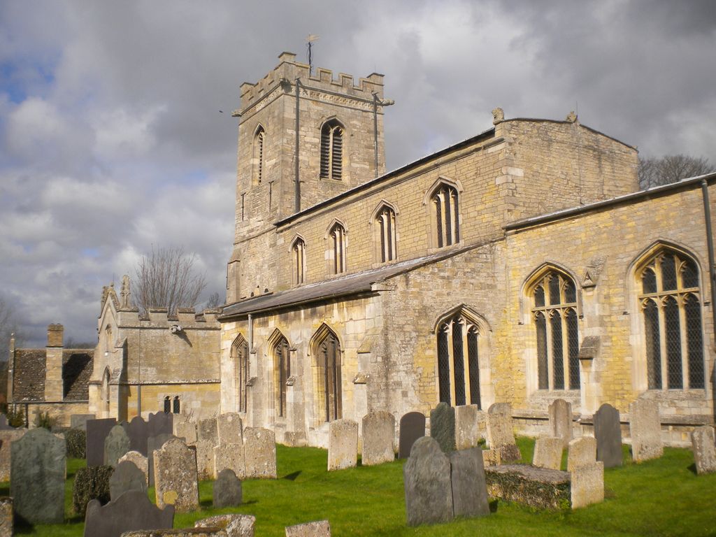
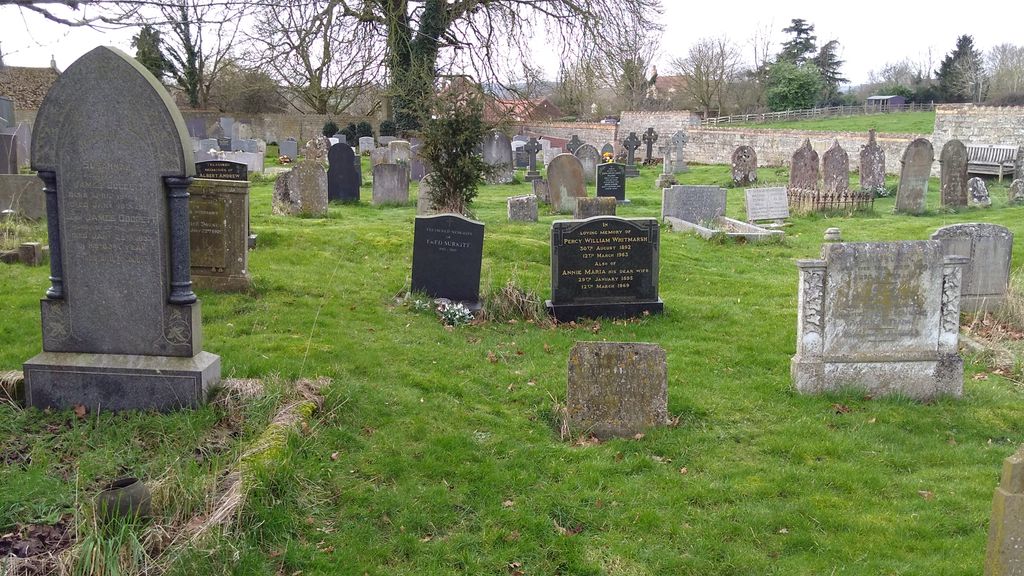
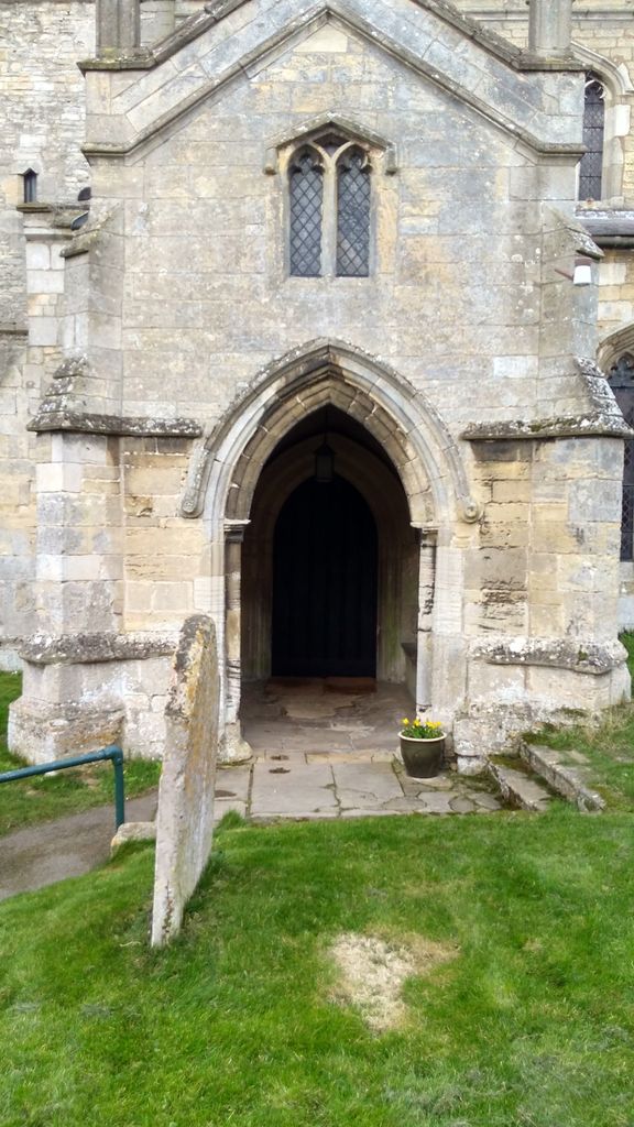
| Memorials | : | 22 |
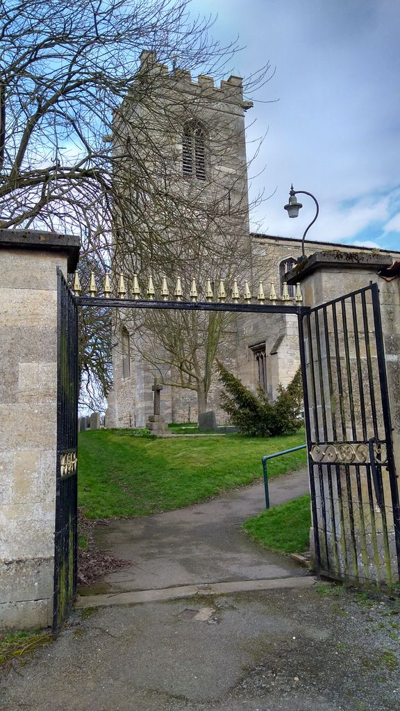
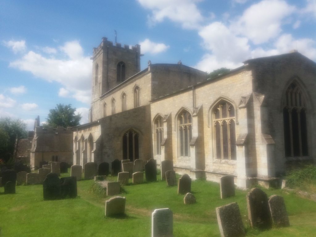
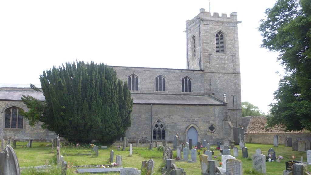
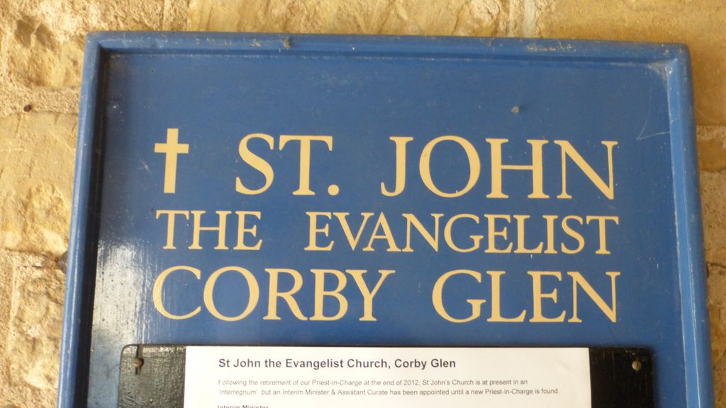
| Location | : | Corby Glen, South Kesteven District, England |
| Coordinate | : | 52.8132500, -0.5157630 |
frequently asked questions (FAQ):
-
Where is St John the Evangelist Churchyard?
St John the Evangelist Churchyard is located at Corby Glen, South Kesteven District ,Lincolnshire ,England.
-
St John the Evangelist Churchyard cemetery's updated grave count on graveviews.com?
22 memorials
-
Where are the coordinates of the St John the Evangelist Churchyard?
Latitude: 52.8132500
Longitude: -0.5157630
Nearby Cemetories:
1. St Nicholas Churchyard
Swayfield, South Kesteven District, England
Coordinate: 52.7922400, -0.5284400
2. St Mary Churchyard
Swinstead, South Kesteven District, England
Coordinate: 52.7900380, -0.4909380
3. St Mary Magdalene
Bitchfield, South Kesteven District, England
Coordinate: 52.8441000, -0.5418600
4. St Thomas a Beckett Churchyard
Bassingthorpe, South Kesteven District, England
Coordinate: 52.8457500, -0.5669900
5. St Peter Churchyard
Creeton, South Kesteven District, England
Coordinate: 52.7669500, -0.4977300
6. Saint Andrew Churchyard
Boothby Pagnell, South Kesteven District, England
Coordinate: 52.8660600, -0.5578600
7. St James Churchyard
Castle Bytham, South Kesteven District, England
Coordinate: 52.7537140, -0.5367360
8. St Michael Churchyard
Edenham, South Kesteven District, England
Coordinate: 52.7836110, -0.4266560
9. St. John the Baptist Churchyard
Colsterworth, South Kesteven District, England
Coordinate: 52.8069090, -0.6214400
10. St Mary's Churchyard
North Witham, South Kesteven District, England
Coordinate: 52.7864400, -0.6252800
11. St Stephen Churchyard
Careby, South Kesteven District, England
Coordinate: 52.7363500, -0.4823700
12. St Wilfrid
Holywell, South Kesteven District, England
Coordinate: 52.7329915, -0.5149881
13. Ropsley Churchyard Extension
Ropsley, South Kesteven District, England
Coordinate: 52.8958475, -0.5254147
14. St. Peter's Churchyard
Ropsley, South Kesteven District, England
Coordinate: 52.8959736, -0.5259958
15. Holy Cross Churchyard
Great Ponton, South Kesteven District, England
Coordinate: 52.8638270, -0.6275570
16. St Nicholas Churchyard
Gunby, South Kesteven District, England
Coordinate: 52.7838800, -0.6481500
17. St. Peter's Churchyard
Gunby, East Lindsey District, England
Coordinate: 52.7840600, -0.6483000
18. St. Mary Magdalene Churchyard
Old Somerby, South Kesteven District, England
Coordinate: 52.8944900, -0.5672830
19. St John the Baptist Churchyard
Morton, South Kesteven District, England
Coordinate: 52.8025100, -0.3724200
20. St Peter Churchyard
Stainby, South Kesteven District, England
Coordinate: 52.7953390, -0.6587990
21. St. Andrews Churchyard
Witham on the Hill, South Kesteven District, England
Coordinate: 52.7364500, -0.4420300
22. St James the Great Churchyard
Aslackby, South Kesteven District, England
Coordinate: 52.8600900, -0.3894200
23. St Andrew's Churchyard
Rippingale, South Kesteven District, England
Coordinate: 52.8366700, -0.3718000
24. Aslackby Cemetery
Aslackby, South Kesteven District, England
Coordinate: 52.8597838, -0.3855002