
| Memorials | : | 10717 |
| Location | : | Grantham, South Kesteven District, England |
| Phone | : | 01476 590905 |
| Website | : | www.dignityfunerals.co.uk/crematoria-and-cemeteries/crematoria/find-a-crematorium/grantham-crematorium |
| Coordinate | : | 52.9095320, -0.6326120 |
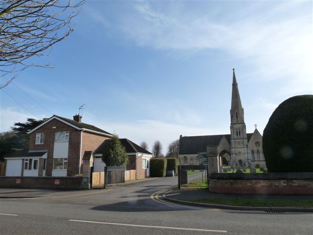
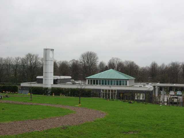
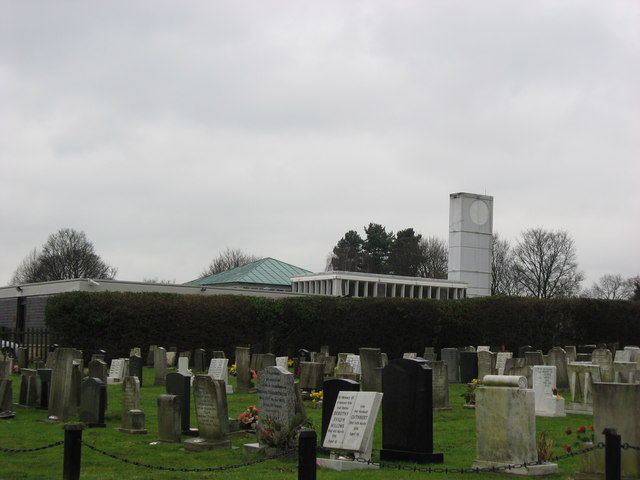
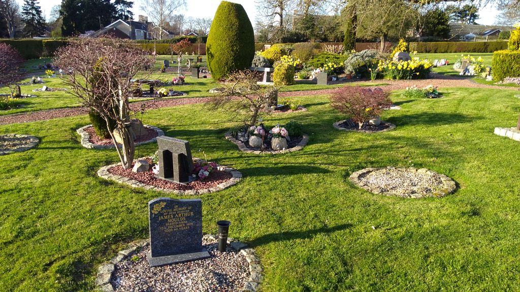
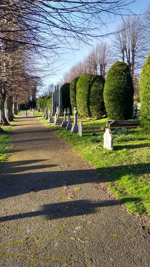
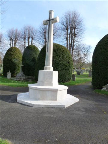
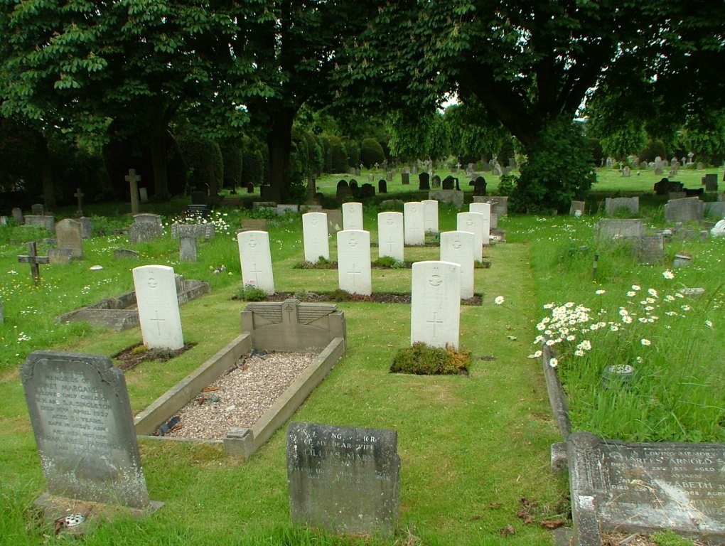
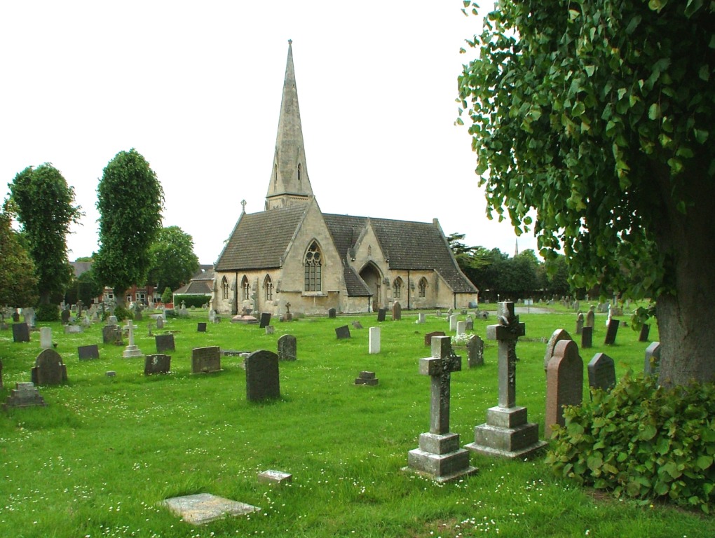
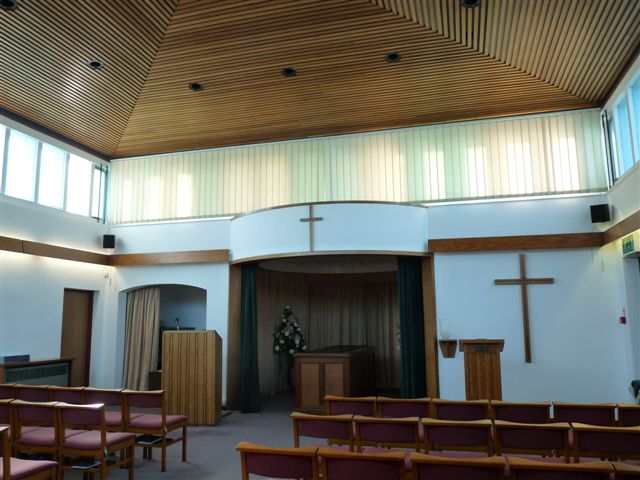
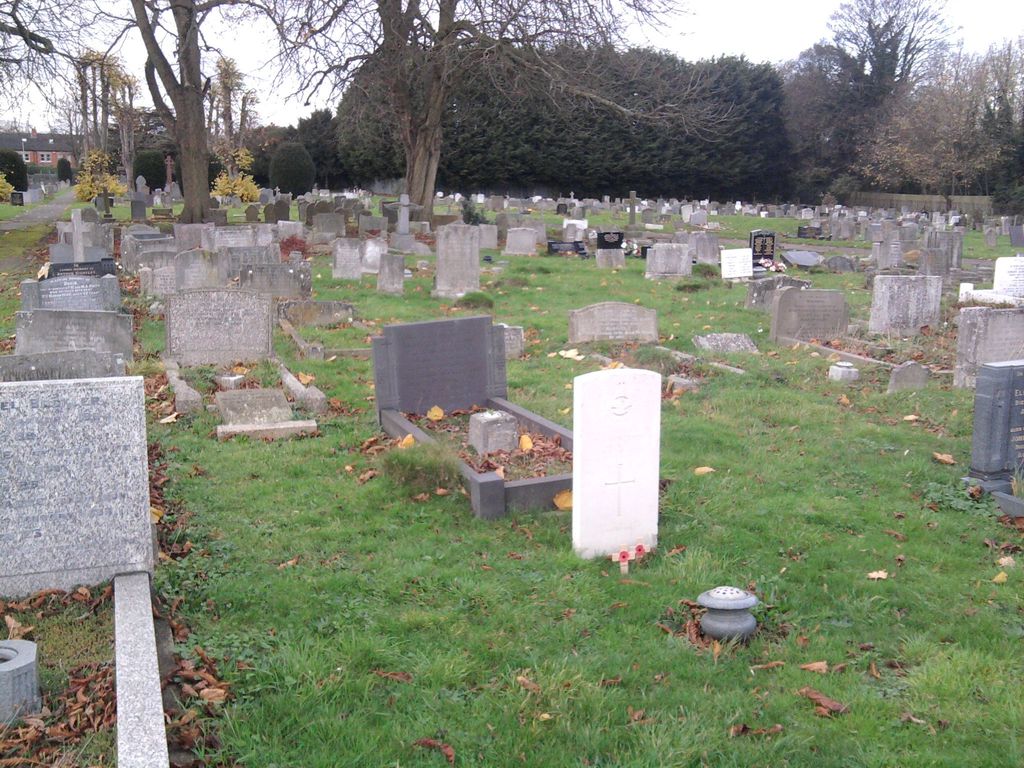
| Description | : | Grantham is a market town in the southern part of Lincolnshire, 25 miles south south west of the city of Lincoln. Grantham Cemetery is at New Somerby on the eastern side of the town. During the First World War there were machine gun camps and depots at Belton Park, on the Lincoln Road, and at Grantham a 620 bed military hospital. Most of the First World War burials are scattered throughout the cemetery but a number of Australian and New Zealand machine gunners are buried together in Section 15. During the Second World War there was a Royal Air Force... Read More |
frequently asked questions (FAQ):
-
Where is Grantham Cemetery and Crematorium?
Grantham Cemetery and Crematorium is located at Harrowby Road Grantham, South Kesteven District ,Lincolnshire , NG31 9DTEngland.
-
Grantham Cemetery and Crematorium cemetery's updated grave count on graveviews.com?
10711 memorials
-
Where are the coordinates of the Grantham Cemetery and Crematorium?
Latitude: 52.9095320
Longitude: -0.6326120
Nearby Cemetories:
1. St. Wulfram Churchyard
Grantham, South Kesteven District, England
Coordinate: 52.9148180, -0.6408520
2. Manthorpe Road Old Cemetery
Grantham, South Kesteven District, England
Coordinate: 52.9173900, -0.6409900
3. St John the Evangelist Churchyard
Manthorpe, South Kesteven District, England
Coordinate: 52.9306320, -0.6323160
4. St. Guthlac Churchyard
Little Ponton, South Kesteven District, England
Coordinate: 52.8796100, -0.6271200
5. St Sebastian Churchyard
Great Gonerby, South Kesteven District, England
Coordinate: 52.9329260, -0.6657700
6. St John the Baptist Churchyard
Londonthorpe, South Kesteven District, England
Coordinate: 52.9312060, -0.5837350
7. St. Peter and St. Paul's Churchyard
Belton, South Kesteven District, England
Coordinate: 52.9451000, -0.6177000
8. All Saints Churchyard
Barrowby, South Kesteven District, England
Coordinate: 52.9186420, -0.6946810
9. St. Mary Magdalene Churchyard
Old Somerby, South Kesteven District, England
Coordinate: 52.8944900, -0.5672830
10. St Mary and St Peter Churchyard
Harlaxton, South Kesteven District, England
Coordinate: 52.8836860, -0.6895640
11. All Saints Churchyard
Stroxton, South Kesteven District, England
Coordinate: 52.8695300, -0.6609700
12. Holy Cross Churchyard
Great Ponton, South Kesteven District, England
Coordinate: 52.8638270, -0.6275570
13. St Marys Churchyard
Syston, South Kesteven District, England
Coordinate: 52.9578420, -0.6172940
14. St Nicholas Churchyard
Barkston, South Kesteven District, England
Coordinate: 52.9629960, -0.6129380
15. St Andrew Churchyard
Denton, South Kesteven District, England
Coordinate: 52.8828830, -0.7151840
16. St. Lawrence Churchyard
Sedgebrook, South Kesteven District, England
Coordinate: 52.9329460, -0.7256530
17. Saint Andrew Churchyard
Boothby Pagnell, South Kesteven District, England
Coordinate: 52.8660600, -0.5578600
18. St. Peter's Churchyard
Ropsley, South Kesteven District, England
Coordinate: 52.8959736, -0.5259958
19. Ropsley Churchyard Extension
Ropsley, South Kesteven District, England
Coordinate: 52.8958475, -0.5254147
20. St James Churchyard
Allington, South Kesteven District, England
Coordinate: 52.9525695, -0.7245301
21. St. Wilfrid Churchyard
Honington, South Kesteven District, England
Coordinate: 52.9795600, -0.5965700
22. St Thomas a Beckett Churchyard
Bassingthorpe, South Kesteven District, England
Coordinate: 52.8457500, -0.5669900
23. St James Churchyard
Woolsthorpe-by-Belvoir, South Kesteven District, England
Coordinate: 52.8957880, -0.7578370
24. St Michael & All Angels Churchyard
Harston, Melton Borough, England
Coordinate: 52.8769700, -0.7556000