
| Memorials | : | 27 |
| Location | : | Belton, South Kesteven District, England |
| Coordinate | : | 52.9451000, -0.6177000 |
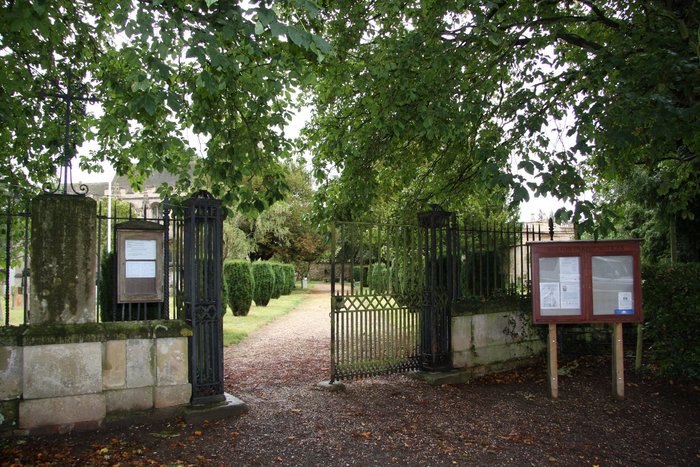
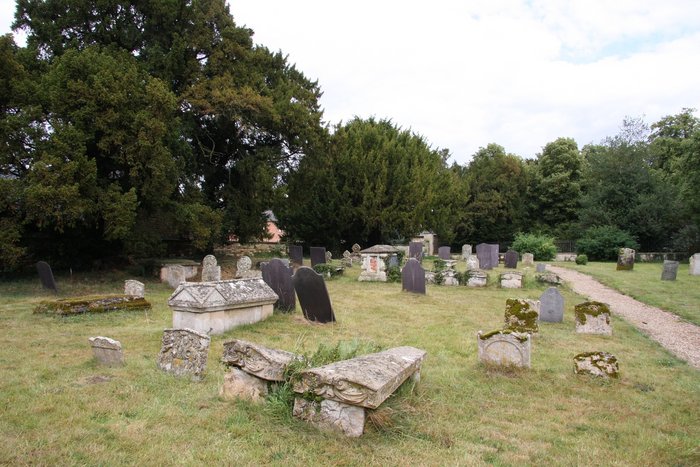
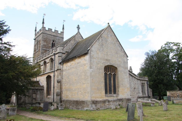
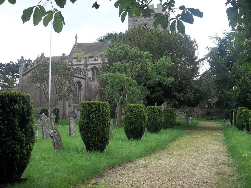
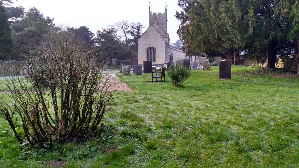
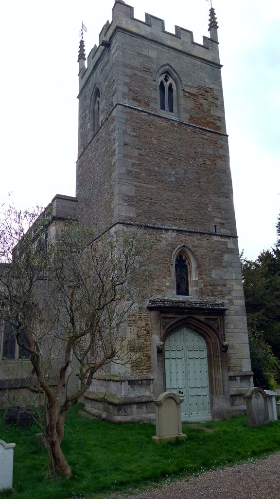
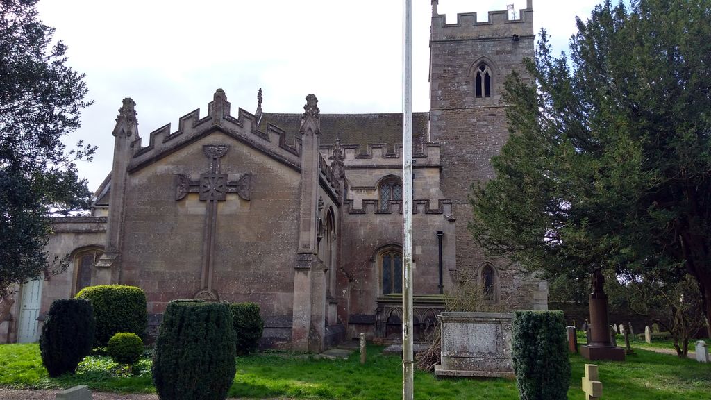
| Description | : | At the time of Domesday, the record of a statistical survey of England made by William the Conqueror in 1085-7, Belton is recorded as having a Church, tree mills and 40 acres of meadowland. The manor passed from the Norman nobility of the Abbey of St. Mary, York, who presented master Robert de Lesia, sub-deacon, to the church of Belton, on 20th December 1230. In 1394 the abbey leased it to Thomas Alger, Chaplain to Sir John Hussy, and Henry Peers, and again in 1477 to Sir William Porter, Baronet of Belton. St Mary's was dissolved in 1546, when Augustine... Read More |
frequently asked questions (FAQ):
-
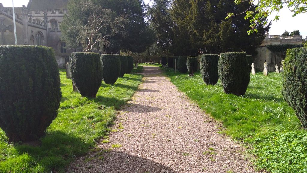
Where is St. Peter and St. Paul's Churchyard?
St. Peter and St. Paul's Churchyard is located at Near Grantham Belton, South Kesteven District ,Lincolnshire ,England.
-
St. Peter and St. Paul's Churchyard cemetery's updated grave count on graveviews.com?
23 memorials
-
Where are the coordinates of the St. Peter and St. Paul's Churchyard?
Latitude: 52.9451000
Longitude: -0.6177000
Nearby Cemetories:
1. St Marys Churchyard
Syston, South Kesteven District, England
Coordinate: 52.9578420, -0.6172940
2. St John the Evangelist Churchyard
Manthorpe, South Kesteven District, England
Coordinate: 52.9306320, -0.6323160
3. St Nicholas Churchyard
Barkston, South Kesteven District, England
Coordinate: 52.9629960, -0.6129380
4. St John the Baptist Churchyard
Londonthorpe, South Kesteven District, England
Coordinate: 52.9312060, -0.5837350
5. Manthorpe Road Old Cemetery
Grantham, South Kesteven District, England
Coordinate: 52.9173900, -0.6409900
6. St Sebastian Churchyard
Great Gonerby, South Kesteven District, England
Coordinate: 52.9329260, -0.6657700
7. St. Wulfram Churchyard
Grantham, South Kesteven District, England
Coordinate: 52.9148180, -0.6408520
8. Grantham Cemetery and Crematorium
Grantham, South Kesteven District, England
Coordinate: 52.9095320, -0.6326120
9. St. Wilfrid Churchyard
Honington, South Kesteven District, England
Coordinate: 52.9795600, -0.5965700
10. St. Nicholas Churchyard
Carlton Scroop, South Kesteven District, England
Coordinate: 52.9940290, -0.5895960
11. All Saints Churchyard
Barrowby, South Kesteven District, England
Coordinate: 52.9186420, -0.6946810
12. All Saints Churchyard
Hougham, South Kesteven District, England
Coordinate: 52.9878240, -0.6806910
13. St. Mary Magdalene Churchyard
Old Somerby, South Kesteven District, England
Coordinate: 52.8944900, -0.5672830
14. St. Martin Churchyard
Ancaster, South Kesteven District, England
Coordinate: 52.9804810, -0.5377820
15. Ancaster Cemetery
Ancaster, South Kesteven District, England
Coordinate: 52.9814450, -0.5387892
16. All Saints Churchyard
Hough-on-the-Hill, South Kesteven District, England
Coordinate: 53.0069700, -0.6255100
17. St Nicholas Churchyard
Normanton, South Kesteven District, England
Coordinate: 53.0051390, -0.5874570
18. St James Churchyard
Allington, South Kesteven District, England
Coordinate: 52.9525695, -0.7245301
19. St. Guthlac Churchyard
Little Ponton, South Kesteven District, England
Coordinate: 52.8796100, -0.6271200
20. St. Lawrence Churchyard
Sedgebrook, South Kesteven District, England
Coordinate: 52.9329460, -0.7256530
21. St Andrew Churchyard
Kelby, North Kesteven District, England
Coordinate: 52.9608000, -0.5074000
22. St. Andrew's Churchyard
South Kesteven District, England
Coordinate: 52.9608000, -0.5074000
23. St Peter Churchyard
Foston, South Kesteven District, England
Coordinate: 52.9771630, -0.7227360
24. St. Michael's and All Angels Churchyard
Heydour, South Kesteven District, England
Coordinate: 52.9444900, -0.4987800