
| Memorials | : | 4 |
| Location | : | Rabbit Hash, Boone County, USA |
| Coordinate | : | 38.9289501, -84.8035591 |
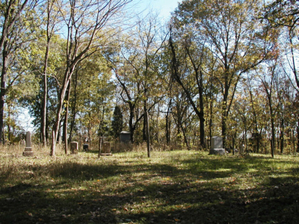
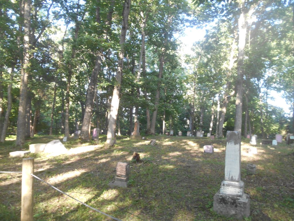
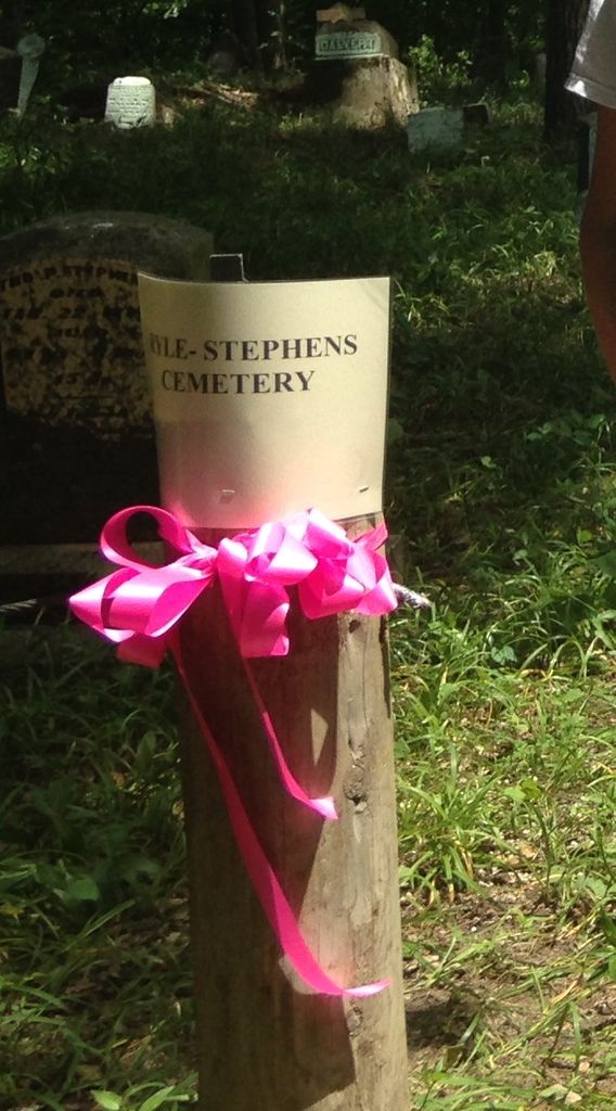
| Description | : | This cemetery is located about 1500 feet south of Rabbit Hash Road (Kentucky State Highway 536) about 2.2 miles east of its junction with East Bend Road (Kentucky State Highway 338). Burials occurred from 1819 through 1946. This cemetery is located on the property of Potter's Ranch, which has an address of 5194 Beaver Road, Union, Kentucky 41091 (Telephone: 859-538-3740). The property is gated and permission must be received in order to visit. The cemetery is accessible through the Potter’s Ranch property or through a hayfield at 5613 Rabbit Hash Road, Union, Kentucky 41091. The U.S. Geological Survey (USGS) Geographic Names Information... Read More |
frequently asked questions (FAQ):
-
Where is Ryle Cemetery?
Ryle Cemetery is located at Rabbit Hash Road Rabbit Hash, Boone County ,Kentucky , 41091USA.
-
Ryle Cemetery cemetery's updated grave count on graveviews.com?
4 memorials
-
Where are the coordinates of the Ryle Cemetery?
Latitude: 38.9289501
Longitude: -84.8035591
Nearby Cemetories:
1. Ryle Cemetery
Rabbit Hash, Boone County, USA
Coordinate: 38.9189500, -84.8080040
2. Old Ryle Homeplace Cemetery
Union, Boone County, USA
Coordinate: 38.9427780, -84.7986110
3. Sullivan-Horton Cemetery
Rabbit Hash, Boone County, USA
Coordinate: 38.9353720, -84.7859060
4. Allen Cemetery
Union, Boone County, USA
Coordinate: 38.9126830, -84.8003430
5. Scott Cemetery
Rabbit Hash, Boone County, USA
Coordinate: 38.9427780, -84.8244440
6. Craig Cemetery
Beaverlick, Boone County, USA
Coordinate: 38.9064460, -84.8117250
7. Kirtley Cemetery (Defunct)
Rabbit Hash, Boone County, USA
Coordinate: 38.9064460, -84.8117250
8. Pearson Cemetery
Boone County, USA
Coordinate: 38.9491997, -84.8186035
9. William Hodges Cemetery
Rabbit Hash, Boone County, USA
Coordinate: 38.9200000, -84.8322230
10. Kirtley Cemetery (Defunct)
Rabbit Hash, Boone County, USA
Coordinate: 38.9082985, -84.8202972
11. Jimerson Craig Cemetery
Beaverlick, Boone County, USA
Coordinate: 38.9030560, -84.8041670
12. Beech Grove Holiness Church Cemetery
Waterloo, Boone County, USA
Coordinate: 38.9518500, -84.7839100
13. Gregory Cemetery
Rabbit Hash, Boone County, USA
Coordinate: 38.9007988, -84.8022003
14. Wilson Cemetery
Rabbit Hash, Boone County, USA
Coordinate: 38.9446983, -84.8341980
15. James T Ryle Cemetery
Burlington, Boone County, USA
Coordinate: 38.9546820, -84.7824470
16. Craig Cemetery
Rabbit Hash, Boone County, USA
Coordinate: 38.9458008, -84.8367004
17. Stephens Cemetery
Rabbit Hash, Boone County, USA
Coordinate: 38.9308014, -84.8435974
18. Powell Cemetery
Waterloo, Boone County, USA
Coordinate: 38.9581140, -84.7844440
19. East Bend Baptist Church Cemetery
Rabbit Hash, Boone County, USA
Coordinate: 38.9189339, -84.8530960
20. Marshall Cemetery
Burlington, Boone County, USA
Coordinate: 38.9702988, -84.7957993
21. Marshall-Bradford Cemetery
Burlington, Boone County, USA
Coordinate: 38.9688630, -84.7812320
22. East Bend Methodist Church Cemetery
Rabbit Hash, Boone County, USA
Coordinate: 38.9198000, -84.8583300
23. Big Bone Baptist Church Cemetery
Big Bone, Boone County, USA
Coordinate: 38.9217100, -84.7467300
24. Tudor Marshall Cemetery
Burlington, Boone County, USA
Coordinate: 38.9639830, -84.7653020