
| Memorials | : | 0 |
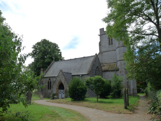
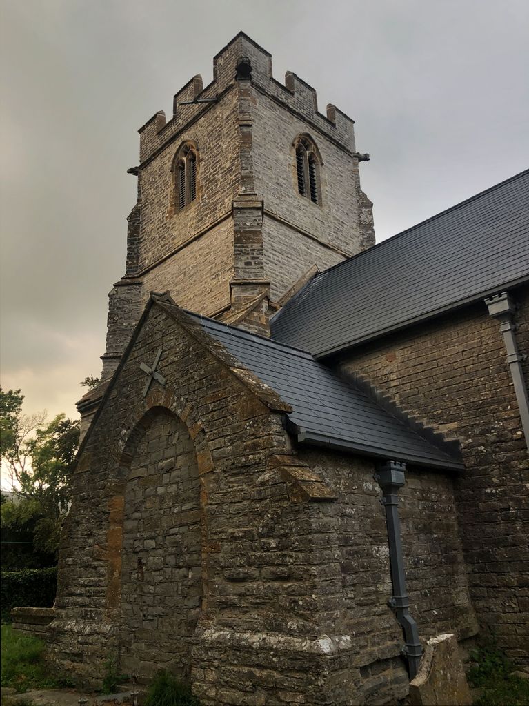
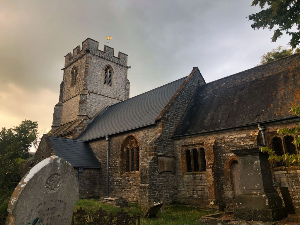
| Location | : | Aller, South Somerset District, England |
| Coordinate | : | 51.0554000, -2.8627000 |
frequently asked questions (FAQ):
-
Where is Saint Andrew's Churchyard?
Saint Andrew's Churchyard is located at Aller, South Somerset District ,Somerset ,England.
-
Saint Andrew's Churchyard cemetery's updated grave count on graveviews.com?
0 memorials
-
Where are the coordinates of the Saint Andrew's Churchyard?
Latitude: 51.0554000
Longitude: -2.8627000

Nearby Cemetories:
1. Langport Cemetery
Langport, South Somerset District, England
Coordinate: 51.0426200, -2.8244600
2. Othery Cemetery
Othery, Sedgemoor District, England
Coordinate: 51.0771222, -2.8906189
3. All Saints Churchyard
Langport, South Somerset District, England
Coordinate: 51.0369970, -2.8254530
4. Curry Rivel Cemetery
Curry Rivel, South Somerset District, England
Coordinate: 51.0257667, -2.8676226
5. Low Ham Church in the Field
High Ham, South Somerset District, England
Coordinate: 51.0583449, -2.8155268
6. St. Andrew's Churchyard
Curry Rivel, South Somerset District, England
Coordinate: 51.0246570, -2.8687410
7. High Ham Cemetery
High Ham, South Somerset District, England
Coordinate: 51.0739931, -2.8216351
8. St. Andrew's Churchyard
High Ham, South Somerset District, England
Coordinate: 51.0760320, -2.8218400
9. Blessed Virgin Mary Churchyard
Huish Episcopi, South Somerset District, England
Coordinate: 51.0362250, -2.8182410
10. St. Catherine's Churchyard
Drayton, South Somerset District, England
Coordinate: 51.0191860, -2.8494960
11. St Michael Churchyard
Burrowbridge, Taunton Deane Borough, England
Coordinate: 51.0698090, -2.9174960
12. Ebenezer Chapelyard
Burrowbridge, Taunton Deane Borough, England
Coordinate: 51.0727744, -2.9222989
13. Holy Cross Churchyard
Middlezoy, Sedgemoor District, England
Coordinate: 51.0937200, -2.8941260
14. St John the Baptist Churchyard
Pitney, South Somerset District, England
Coordinate: 51.0532200, -2.7937320
15. Athelney Abbey (Defunct)
Athelney, Sedgemoor District, England
Coordinate: 51.0593000, -2.9345800
16. St. Peter and St. Paul's Churchyard
Muchelney, South Somerset District, England
Coordinate: 51.0207389, -2.8154595
17. Stoke St Gregory
Stoke St Gregory, Taunton Deane Borough, England
Coordinate: 51.0398130, -2.9310570
18. The Baptist Chapel
Stoke St Gregory, Taunton Deane Borough, England
Coordinate: 51.0430441, -2.9375476
19. St. Catherine's Churchyard
Fivehead, South Somerset District, England
Coordinate: 51.0083009, -2.9000973
20. East Lyng St Bartholomew
Lyng, Sedgemoor District, England
Coordinate: 51.0553000, -2.9534000
21. Northmoor Green St. Peter & St. John Churchyard
North Petherton, Sedgemoor District, England
Coordinate: 51.0841694, -2.9486911
22. Westonzoyland Cemetery
Westonzoyland, Sedgemoor District, England
Coordinate: 51.1078900, -2.9264440
23. St. Martin's Churchyard
Fivehead, South Somerset District, England
Coordinate: 51.0017010, -2.9239810
24. The Old Chapel
Westonzoyland, Sedgemoor District, England
Coordinate: 51.1077425, -2.9285237