
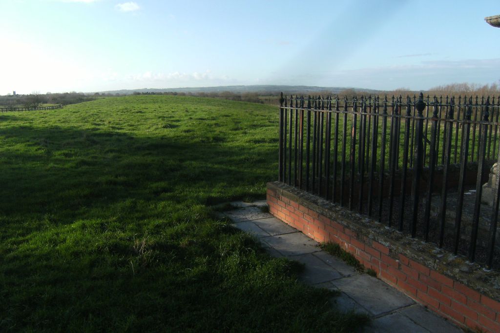
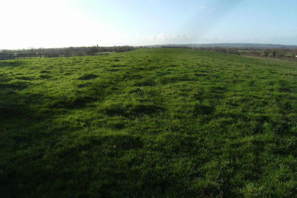
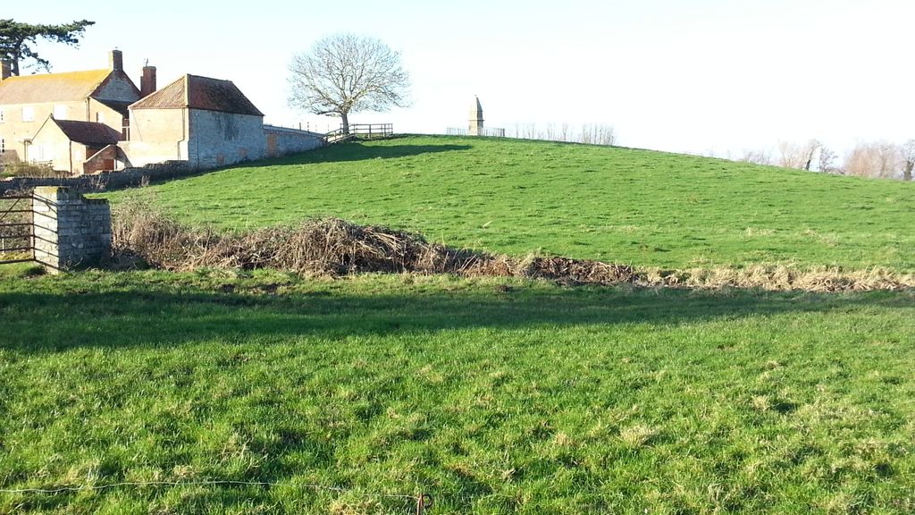
| Memorials | : | 0 |
| Location | : | Athelney, Sedgemoor District, England |
| Coordinate | : | 51.0593000, -2.9345800 |
frequently asked questions (FAQ):
-
Where is Athelney Abbey (Defunct)?
Athelney Abbey (Defunct) is located at Athelney, Sedgemoor District ,Somerset ,England.
-
Athelney Abbey (Defunct) cemetery's updated grave count on graveviews.com?
0 memorials
-
Where are the coordinates of the Athelney Abbey (Defunct)?
Latitude: 51.0593000
Longitude: -2.9345800
Nearby Cemetories:
1. East Lyng St Bartholomew
Lyng, Sedgemoor District, England
Coordinate: 51.0553000, -2.9534000
2. St Michael Churchyard
Burrowbridge, Taunton Deane Borough, England
Coordinate: 51.0698090, -2.9174960
3. Ebenezer Chapelyard
Burrowbridge, Taunton Deane Borough, England
Coordinate: 51.0727744, -2.9222989
4. The Baptist Chapel
Stoke St Gregory, Taunton Deane Borough, England
Coordinate: 51.0430441, -2.9375476
5. Stoke St Gregory
Stoke St Gregory, Taunton Deane Borough, England
Coordinate: 51.0398130, -2.9310570
6. Northmoor Green St. Peter & St. John Churchyard
North Petherton, Sedgemoor District, England
Coordinate: 51.0841694, -2.9486911
7. Othery Cemetery
Othery, Sedgemoor District, England
Coordinate: 51.0771222, -2.8906189
8. St. Michael's Churchyard
North Newton, Sedgemoor District, England
Coordinate: 51.0650279, -2.9974435
9. St. Peter & St. Paul's Churchyard
North Curry, Taunton Deane Borough, England
Coordinate: 51.0258710, -2.9716440
10. Buckland Priory
Durston, Taunton Deane Borough, England
Coordinate: 51.0476530, -2.9988180
11. Holy Cross Churchyard
Middlezoy, Sedgemoor District, England
Coordinate: 51.0937200, -2.8941260
12. St. Peter's Churchyard
North Newton, Sedgemoor District, England
Coordinate: 51.0751380, -2.9990730
13. Methodist Churchyard
North Curry, Taunton Deane Borough, England
Coordinate: 51.0213358, -2.9731175
14. Saint Andrew's Churchyard
Aller, South Somerset District, England
Coordinate: 51.0554000, -2.8627000
15. The Old Chapel
Westonzoyland, Sedgemoor District, England
Coordinate: 51.1077425, -2.9285237
16. Independent Baptist Churchyard
North Curry, Taunton Deane Borough, England
Coordinate: 51.0189703, -2.9779346
17. Westonzoyland Cemetery
Westonzoyland, Sedgemoor District, England
Coordinate: 51.1078900, -2.9264440
18. St. Mary's Churchyard
Westonzoyland, Sedgemoor District, England
Coordinate: 51.1087000, -2.9273800
19. Westonzoyland Cemetery New
Westonzoyland, Sedgemoor District, England
Coordinate: 51.1096271, -2.9349336
20. St John the Baptist Churchyard
Durston, Taunton Deane Borough, England
Coordinate: 51.0478800, -3.0128490
21. Curry Rivel Cemetery
Curry Rivel, South Somerset District, England
Coordinate: 51.0257667, -2.8676226
22. St. Andrew's Churchyard
Curry Rivel, South Somerset District, England
Coordinate: 51.0246570, -2.8687410
23. St. Catherine's Churchyard
Fivehead, South Somerset District, England
Coordinate: 51.0083009, -2.9000973
24. St. Martin's Churchyard
Fivehead, South Somerset District, England
Coordinate: 51.0017010, -2.9239810