
| Memorials | : | 4 |
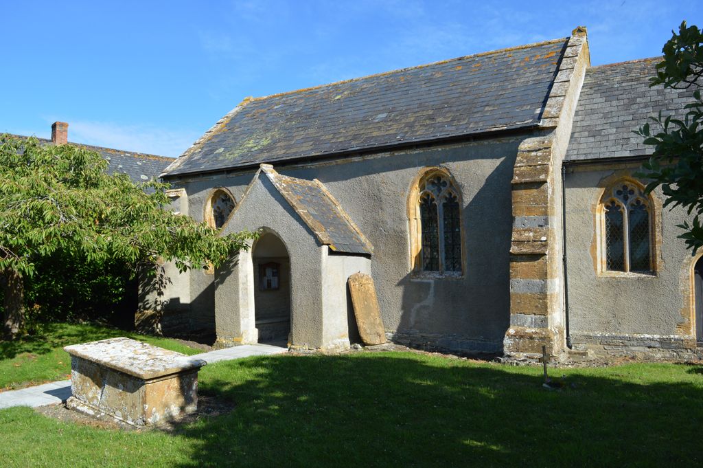
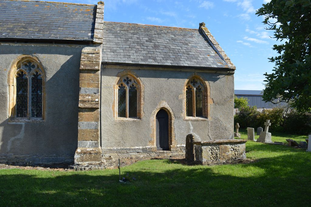
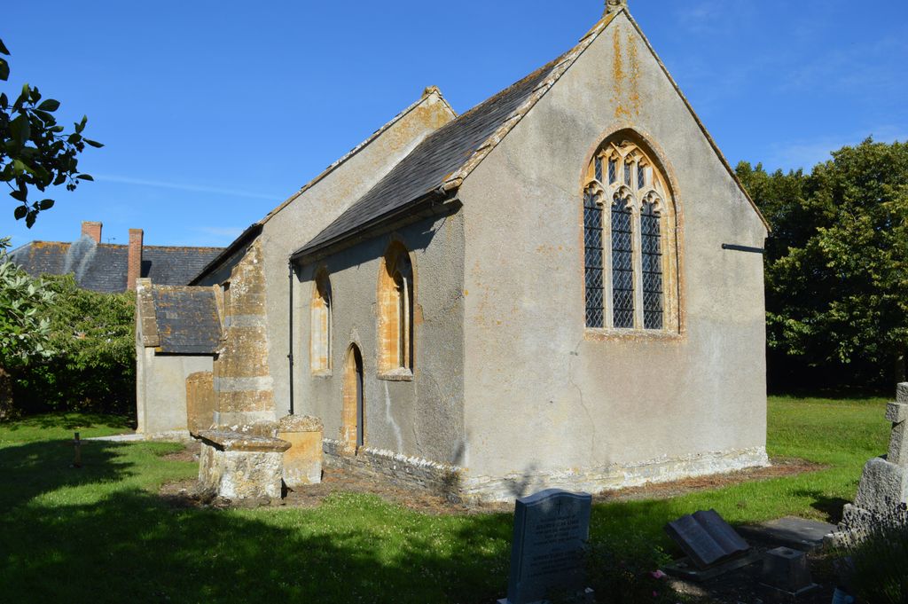
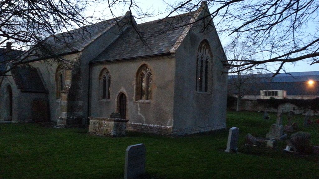
| Location | : | Fivehead, South Somerset District, England |
| Coordinate | : | 51.0083009, -2.9000973 |
frequently asked questions (FAQ):
-
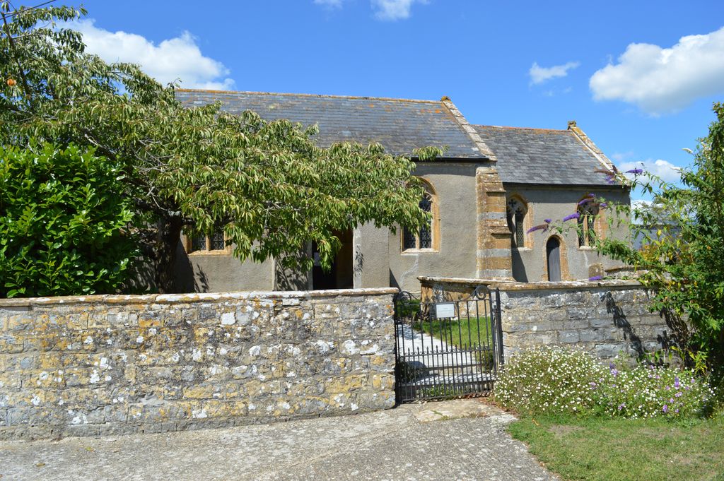
Where is St. Catherine's Churchyard?
St. Catherine's Churchyard is located at Fivehead, South Somerset District ,Somerset ,England.
-
St. Catherine's Churchyard cemetery's updated grave count on graveviews.com?
4 memorials
-
Where are the coordinates of the St. Catherine's Churchyard?
Latitude: 51.0083009
Longitude: -2.9000973
Nearby Cemetories:
1. St. Martin's Churchyard
Fivehead, South Somerset District, England
Coordinate: 51.0017010, -2.9239810
2. Fivehead Cemetery
Fivehead, South Somerset District, England
Coordinate: 50.9969923, -2.9231360
3. All Saints Church Original Location
Isle Brewers, South Somerset District, England
Coordinate: 50.9879000, -2.9081000
4. All Saints Churchyard
Isle Brewers, South Somerset District, England
Coordinate: 50.9854450, -2.9000040
5. St. Andrew's Churchyard
Curry Rivel, South Somerset District, England
Coordinate: 51.0246570, -2.8687410
6. Curry Rivel Cemetery
Curry Rivel, South Somerset District, England
Coordinate: 51.0257667, -2.8676226
7. St Mary the Virgin Churchyard
Isle Abbotts, South Somerset District, England
Coordinate: 50.9842010, -2.9240160
8. St. James the Less Churchyard
Hambridge, South Somerset District, England
Coordinate: 50.9849380, -2.8669180
9. Baptist Chapel
Isle Abbotts, South Somerset District, England
Coordinate: 50.9820340, -2.9282940
10. St. Catherine's Churchyard
Drayton, South Somerset District, England
Coordinate: 51.0191860, -2.8494960
11. Stoke St Gregory
Stoke St Gregory, Taunton Deane Borough, England
Coordinate: 51.0398130, -2.9310570
12. All Saints Churchyard
Curry Mallet, South Somerset District, England
Coordinate: 50.9836110, -2.9497220
13. The Baptist Chapel
Stoke St Gregory, Taunton Deane Borough, England
Coordinate: 51.0430441, -2.9375476
14. Methodist Churchyard
North Curry, Taunton Deane Borough, England
Coordinate: 51.0213358, -2.9731175
15. St. Andrew's Churchyard
Puckington, South Somerset District, England
Coordinate: 50.9606190, -2.8884930
16. St. Peter & St. Paul's Churchyard
North Curry, Taunton Deane Borough, England
Coordinate: 51.0258710, -2.9716440
17. St. James' Churchyard
Beercrocombe, South Somerset District, England
Coordinate: 50.9791730, -2.9619190
18. Independent Baptist Churchyard
North Curry, Taunton Deane Borough, England
Coordinate: 51.0189703, -2.9779346
19. St Mary the Virgin Churchyard
Barrington, South Somerset District, England
Coordinate: 50.9591210, -2.8713310
20. Saint Andrew's Churchyard
Aller, South Somerset District, England
Coordinate: 51.0554000, -2.8627000
21. St. Peter and St. Paul's Churchyard
Muchelney, South Somerset District, England
Coordinate: 51.0207389, -2.8154595
22. All Saints Churchyard
Langport, South Somerset District, England
Coordinate: 51.0369970, -2.8254530
23. Athelney Abbey (Defunct)
Athelney, Sedgemoor District, England
Coordinate: 51.0593000, -2.9345800
24. Ilton Cemetery
Ilton, South Somerset District, England
Coordinate: 50.9552744, -2.9281412