
| Memorials | : | 4 |
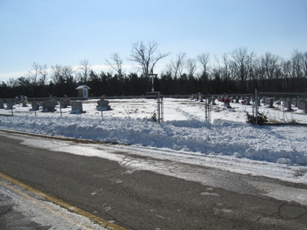
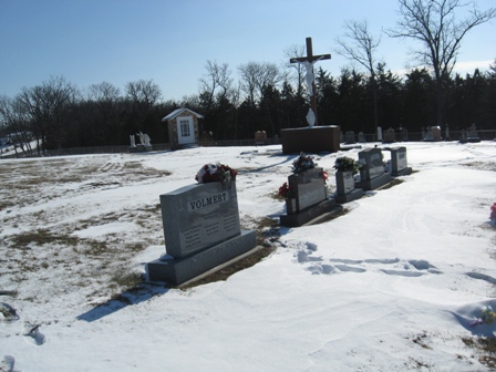
| Location | : | Folk, Osage County, USA |
| Coordinate | : | 38.4214320, -92.0990120 |
frequently asked questions (FAQ):
-
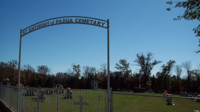
Where is Saint Anthony of Padua Cemetery?
Saint Anthony of Padua Cemetery is located at Highway EE (off Highway 133 between Westphalia and Meta) Folk, Osage County ,Missouri ,USA.
-
Saint Anthony of Padua Cemetery cemetery's updated grave count on graveviews.com?
3 memorials
-
Where are the coordinates of the Saint Anthony of Padua Cemetery?
Latitude: 38.4214320
Longitude: -92.0990120
Nearby Cemetories:
1. Saint Margaret Cemetery
Osage Bend, Cole County, USA
Coordinate: 38.4079500, -92.1425100
2. Burd Family Cemetery
Babbtown, Osage County, USA
Coordinate: 38.3679520, -92.1164640
3. Enloe Cemetery
Wardsville, Cole County, USA
Coordinate: 38.4780360, -92.1772050
4. New Saint Xaviers Catholic Church Cemetery
Taos, Cole County, USA
Coordinate: 38.5052986, -92.0802994
5. Saint Josephs Catholic Cemetery Old
Westphalia, Osage County, USA
Coordinate: 38.4388070, -91.9923360
6. St. Joseph's Catholic Cemetery New
Westphalia, Osage County, USA
Coordinate: 38.4390496, -91.9922341
7. Ward Burial Grounds
Wardsville, Cole County, USA
Coordinate: 38.4912500, -92.1656900
8. Old Saint Xaviers Catholic Church Cemetery
Taos, Cole County, USA
Coordinate: 38.5059390, -92.0715080
9. Saint John's Lutheran Church Cemetery
Babbtown, Osage County, USA
Coordinate: 38.3392100, -92.1378600
10. Saint Stanislaus Catholic Church Cemetery
Wardsville, Cole County, USA
Coordinate: 38.4863450, -92.1756730
11. Rice-Sone Cemetery
Jefferson City, Cole County, USA
Coordinate: 38.5115900, -92.1658000
12. Ott Burial Ground
Wardsville, Cole County, USA
Coordinate: 38.4955560, -92.1930280
13. Saint John's Lutheran Church Cemetery
Schubert, Cole County, USA
Coordinate: 38.5181999, -92.0476990
14. Brondel Farm Burial Ground
Saint Thomas, Cole County, USA
Coordinate: 38.3633000, -92.2114000
15. Saint Boniface Catholic Cemetery
Koeltztown, Osage County, USA
Coordinate: 38.3253100, -92.0399100
16. Wolfrum Cemetery
Cole County, USA
Coordinate: 38.5368996, -92.1213989
17. Saint Cecilia Cemetery
Meta, Osage County, USA
Coordinate: 38.3156013, -92.1641998
18. Saint Thomas Cemetery
Saint Thomas, Cole County, USA
Coordinate: 38.3689003, -92.2335968
19. Immanuel Lutheran Church Cemetery
Honey Creek, Cole County, USA
Coordinate: 38.4617500, -92.2432600
20. Forest Hill Cemetery
Osage City, Cole County, USA
Coordinate: 38.5374985, -92.0563965
21. August Henry Family Cemetery
Jefferson City, Cole County, USA
Coordinate: 38.5414510, -92.1174150
22. Osage Bluff Methodist Cemetery
Osage Bluff, Cole County, USA
Coordinate: 38.4497910, -92.2513809
23. Meta Southside Cemetery
Meta, Osage County, USA
Coordinate: 38.3050720, -92.1570750
24. Lamkin Family Cemetery
Wardsville, Cole County, USA
Coordinate: 38.5318985, -92.1903000