
| Memorials | : | 0 |
| Location | : | Poynings, Mid Sussex District, England |
| Coordinate | : | 50.8931150, -0.2024450 |
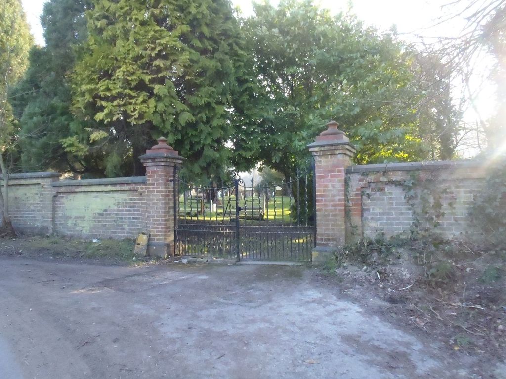
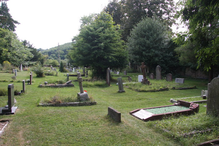
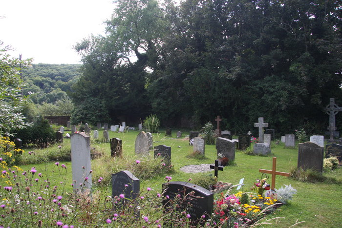
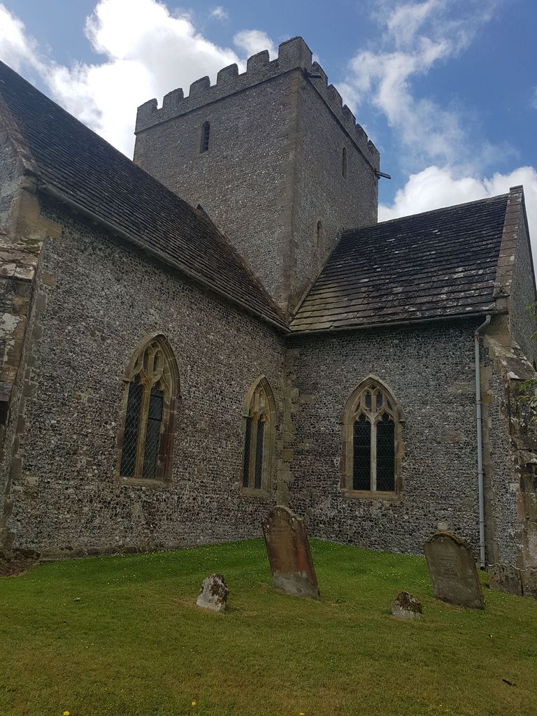
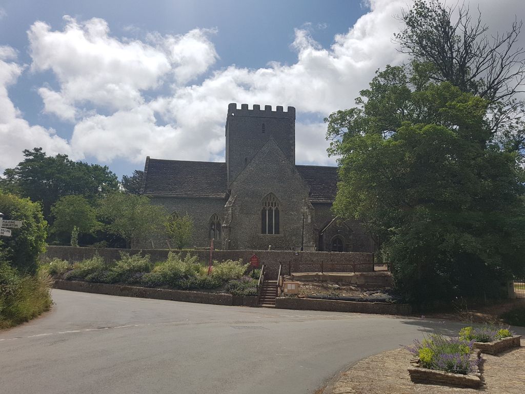
| Description | : | Poynings is a village and civil parish in the Mid Sussex District of West Sussex, England. It is located on the north side of the South Downs near Devil's Dyke, five miles (8 km) north-west of Brighton. also see Poynings, Holy Trinity Churchyard |
frequently asked questions (FAQ):
-
Where is Poynings Cemetery?
Poynings Cemetery is located at Poynings, Mid Sussex District ,West Sussex ,England.
-
Poynings Cemetery cemetery's updated grave count on graveviews.com?
0 memorials
-
Where are the coordinates of the Poynings Cemetery?
Latitude: 50.8931150
Longitude: -0.2024450
Nearby Cemetories:
1. Church of the Transfiguration Churchyard
Pyecombe, Mid Sussex District, England
Coordinate: 50.8984590, -0.1642370
2. St John the Baptist Churchyard
Clayton, Mid Sussex District, England
Coordinate: 50.9105170, -0.1534370
3. Patcham Down Indian Forces Cremation Memorial
Patcham, Brighton and Hove Unitary Authority, England
Coordinate: 50.8841200, -0.1473900
4. Clayton Wood Natural Burial Ground
Clayton, Mid Sussex District, England
Coordinate: 50.9160900, -0.1547600
5. Hurstpierpoint South Avenue Cemetery
Hurstpierpoint, Mid Sussex District, England
Coordinate: 50.9300110, -0.1753150
6. St Peter's Churchyard
Woodmancote, Horsham District, England
Coordinate: 50.9213180, -0.2497350
7. All Saints Churchyard
Patcham, Brighton and Hove Unitary Authority, England
Coordinate: 50.8665100, -0.1510800
8. Saint Helen's Churchyard
Hangleton, Brighton and Hove Unitary Authority, England
Coordinate: 50.8510910, -0.2008410
9. Holy Trinity Churchyard
Hurstpierpoint, Mid Sussex District, England
Coordinate: 50.9337020, -0.1804460
10. West Blatchington St. Peter Churchyard
Hove, Brighton and Hove Unitary Authority, England
Coordinate: 50.8472720, -0.1851550
11. St. Nicolas Churchyard
Portslade, Brighton and Hove Unitary Authority, England
Coordinate: 50.8430280, -0.2181350
12. Bishop Hannington Memorial Church
Hove, Brighton and Hove Unitary Authority, England
Coordinate: 50.8427530, -0.1871460
13. Southwick Cemetery
Southwick, Adur District, England
Coordinate: 50.8429050, -0.2316730
14. St Cosmas and St Damian Churchyard
Hassocks, Mid Sussex District, England
Coordinate: 50.9219800, -0.1305650
15. Hove Cemetery
Hove, Brighton and Hove Unitary Authority, England
Coordinate: 50.8383100, -0.1950460
16. Portslade Cemetery
Portslade, Brighton and Hove Unitary Authority, England
Coordinate: 50.8358780, -0.2135400
17. Saint Peter's Churchyard
Preston, Brighton and Hove Unitary Authority, England
Coordinate: 50.8430580, -0.1506110
18. St Leonard Churchyard
Hove, Brighton and Hove Unitary Authority, England
Coordinate: 50.8329353, -0.2037728
19. St Peter's Churchyard
Henfield, Horsham District, England
Coordinate: 50.9323340, -0.2762030
20. Henfield Cemetery
Henfield, Horsham District, England
Coordinate: 50.9342000, -0.2764400
21. Cardinal Newman Catholic School Cemetery
Hove, Brighton and Hove Unitary Authority, England
Coordinate: 50.8369870, -0.1586370
22. Ditchling Unitarian Chapel Chapelyard
Ditchling, Lewes District, England
Coordinate: 50.9214096, -0.1129916
23. The Browne Burial Ground
Ditchling, Lewes District, England
Coordinate: 50.9213097, -0.1128219
24. St. Michael & All Angels Churchyard
Southwick, Adur District, England
Coordinate: 50.8348240, -0.2411970