
| Memorials | : | 0 |
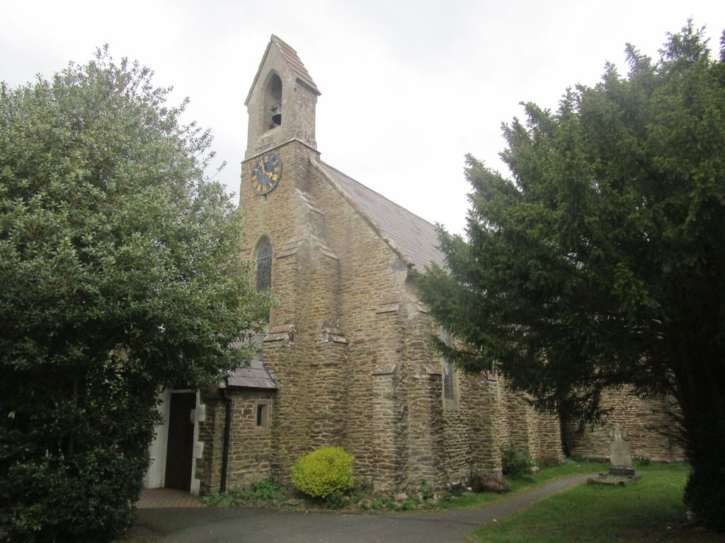
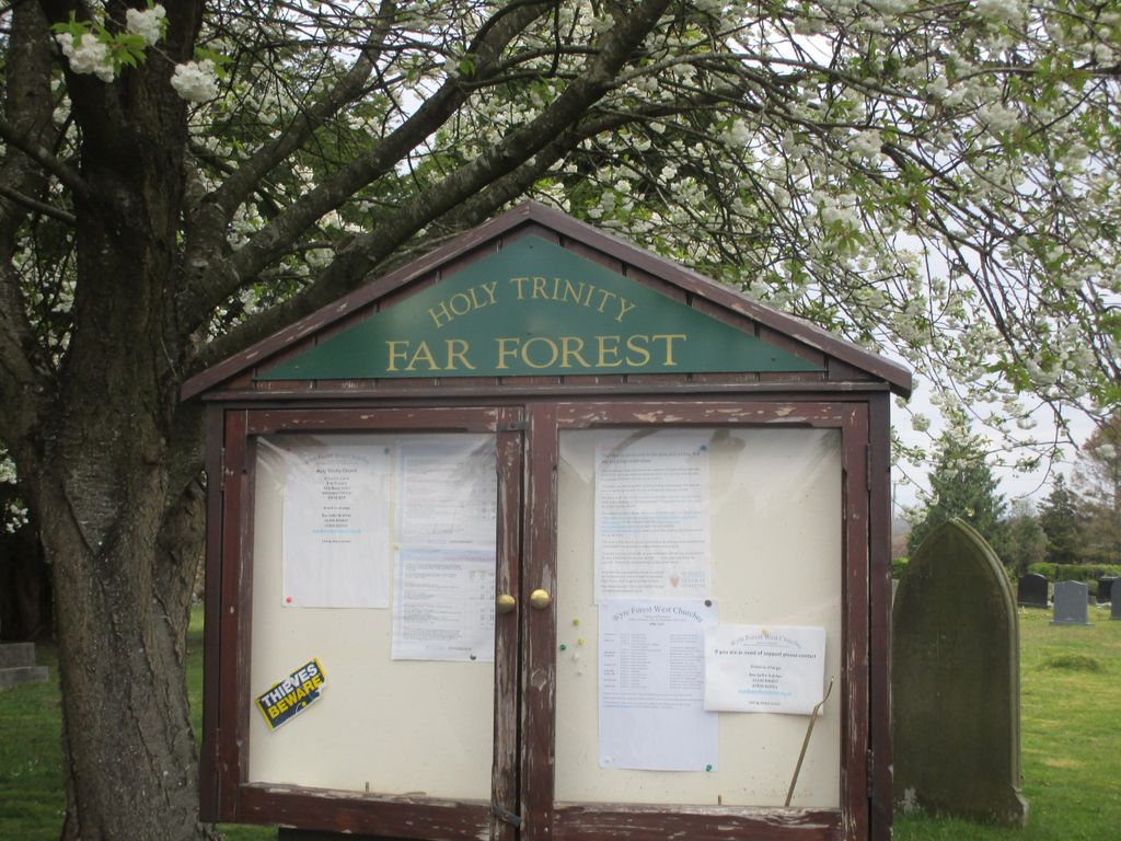
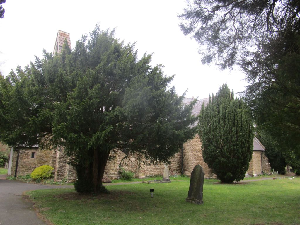
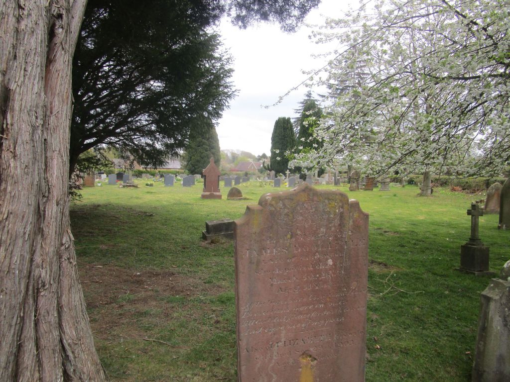
| Location | : | Far Forest, Wyre Forest District, England |
| Coordinate | : | 52.3730700, -2.4004200 |
frequently asked questions (FAQ):
-
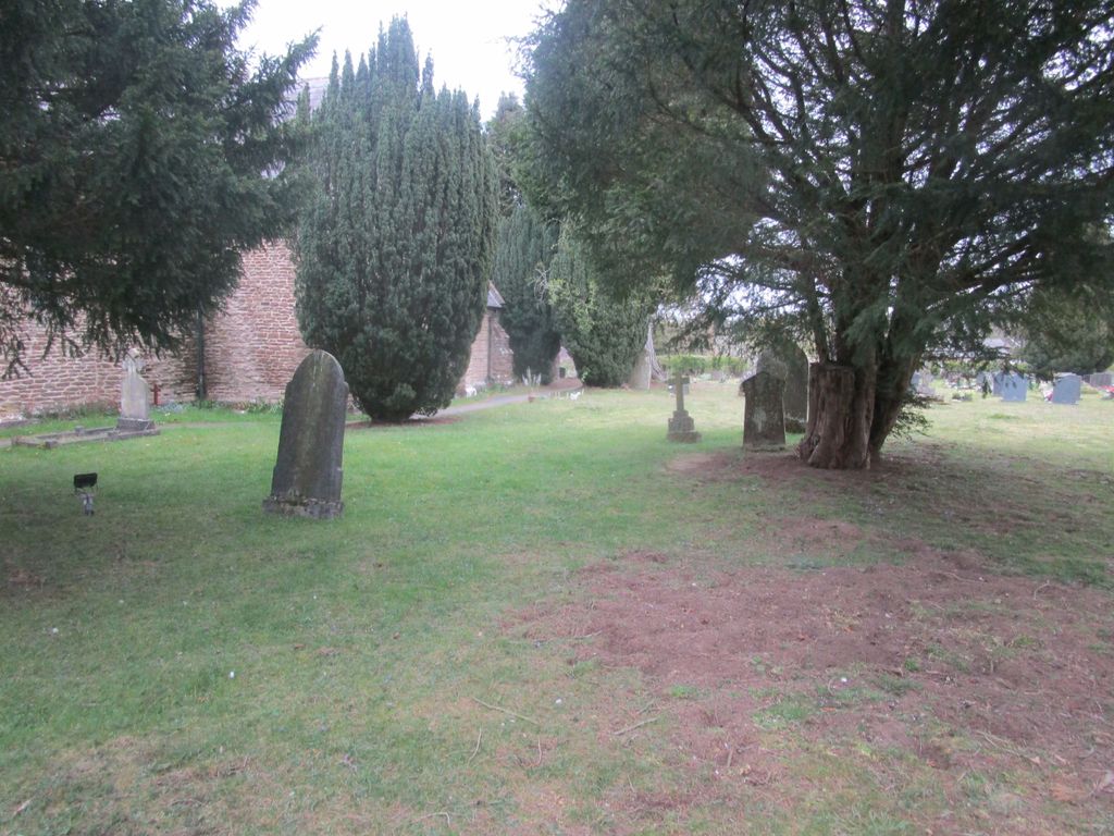
Where is Holy Trinity Churchyard?
Holy Trinity Churchyard is located at Church Lane, Far Forest, Wyre Forest District ,Worcestershire , DY14 9TTEngland.
-
Holy Trinity Churchyard cemetery's updated grave count on graveviews.com?
0 memorials
-
Where are the coordinates of the Holy Trinity Churchyard?
Latitude: 52.3730700
Longitude: -2.4004200
Nearby Cemetories:
1. Holy Trinity Churchyard
Kidderminster, Wyre Forest District, England
Coordinate: 52.3727940, -2.3999840
2. St. Peter and St. Paul's Churchyard
Rock, Wyre Forest District, England
Coordinate: 52.3381020, -2.3955030
3. St Bartholomews Churchyard
Bayton, Malvern Hills District, England
Coordinate: 52.3562100, -2.4548200
4. St Andrews Churchyard
Bewdley, Wyre Forest District, England
Coordinate: 52.3851154, -2.3254050
5. St John the Baptist Churchyard
Mamble, Malvern Hills District, England
Coordinate: 52.3416520, -2.4586520
6. St Mary the Virgin
Cleobury Mortimer, Shropshire Unitary Authority, England
Coordinate: 52.3792280, -2.4803610
7. St Giles Churchyard
Heightington, Wyre Forest District, England
Coordinate: 52.3380600, -2.3425800
8. Neen Savage
Cleobury Mortimer, Shropshire Unitary Authority, England
Coordinate: 52.3930000, -2.4799400
9. St Leonard's Churchyard
Ribbesford, Wyre Forest District, England
Coordinate: 52.3640200, -2.3147800
10. Saint James The Great Churchyard
Pensax, Malvern Hills District, England
Coordinate: 52.3181420, -2.4075720
11. St. John the Baptist Churchyard
Kinlet, Shropshire Unitary Authority, England
Coordinate: 52.4265270, -2.4270270
12. St. Peter's Churchyard
Upper Arley, Wyre Forest District, England
Coordinate: 52.4215560, -2.3486760
13. All Saints Churchyard
Bewdley, Wyre Forest District, England
Coordinate: 52.3785910, -2.3056640
14. Holy Trinity Churchyard
Trimpley, Wyre Forest District, England
Coordinate: 52.4068300, -2.3111690
15. St. Mary's Churchyard
Abberley, Malvern Hills District, England
Coordinate: 52.3095380, -2.3656130
16. St. Michael's Churchyard
Abberley, Malvern Hills District, England
Coordinate: 52.3083500, -2.3628600
17. St Lawrence Churchyard
Lindridge, Malvern Hills District, England
Coordinate: 52.3180700, -2.4779300
18. St. Mary's Churchyard
Highley, Shropshire Unitary Authority, England
Coordinate: 52.4465100, -2.3818640
19. Chorley Chapel Burial Ground
Chorley, Shropshire Unitary Authority, England
Coordinate: 52.4463570, -2.4409710
20. Wyre Forest Crematorium & Cemetery
Stourport-on-Severn, Wyre Forest District, England
Coordinate: 52.3575720, -2.2680900
21. St. Michael and All Angels Churchyard
Stourport-on-Severn, Wyre Forest District, England
Coordinate: 52.3439740, -2.2739450
22. St. Michael & All Angels Churchyard
Hopton Wafers, Shropshire Unitary Authority, England
Coordinate: 52.3857100, -2.5343700
23. Priory Church of St. Peter
Astley, Malvern Hills District, England
Coordinate: 52.3056488, -2.3145461
24. St Peter Churchyard
Astley, Malvern Hills District, England
Coordinate: 52.3061830, -2.3130400