
| Memorials | : | 11 |
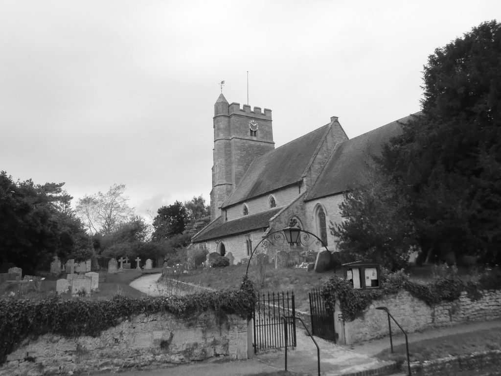
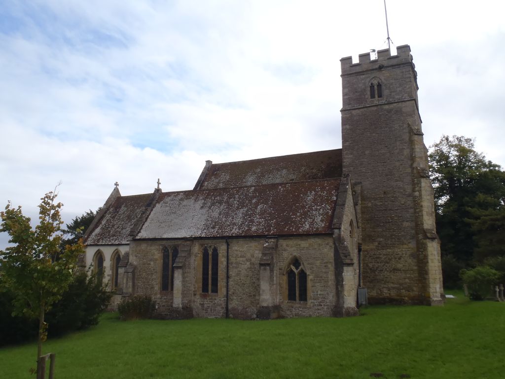
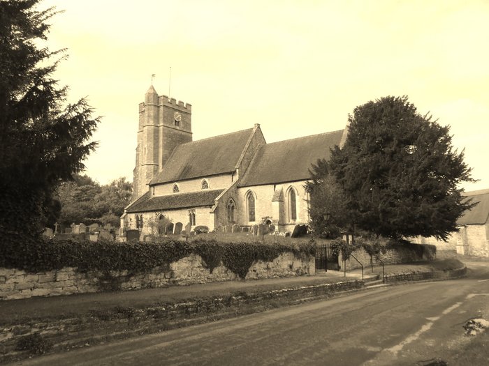
| Location | : | Stanton St John, South Oxfordshire District, England |
| Coordinate | : | 51.7800350, -1.1642830 |
frequently asked questions (FAQ):
-
Where is Saint John the Baptist?
Saint John the Baptist is located at Middle Road Stanton St John, South Oxfordshire District ,Oxfordshire , OX33 1HWEngland.
-
Saint John the Baptist cemetery's updated grave count on graveviews.com?
11 memorials
-
Where are the coordinates of the Saint John the Baptist?
Latitude: 51.7800350
Longitude: -1.1642830
Nearby Cemetories:
1. Forest Hill Church Cemetery
Forest Hill, South Oxfordshire District, England
Coordinate: 51.7641700, -1.1567100
2. St. Nicholas' Church
Forest Hill, South Oxfordshire District, England
Coordinate: 51.7641400, -1.1567200
3. Oxford Crematorium
Headington, City of Oxford, England
Coordinate: 51.7719240, -1.1904020
4. Assumption of the Blessed Virgin Mary Churchyard
Beckley, South Oxfordshire District, England
Coordinate: 51.7972530, -1.1858920
5. Cornerstone Church Cemetery
Headington, City of Oxford, England
Coordinate: 51.7587275, -1.1995588
6. Holy Trinity Churchyard
Headington, City of Oxford, England
Coordinate: 51.7577500, -1.1979980
7. St Barnabas Churchyard
Horton-cum-Studley, Cherwell District, England
Coordinate: 51.8077260, -1.1409690
8. Studley Priory
Horton-cum-Studley, Cherwell District, England
Coordinate: 51.8054560, -1.1346920
9. The Priory
Headington, City of Oxford, England
Coordinate: 51.7638260, -1.2108100
10. St Andrew Churchyard
Headington, City of Oxford, England
Coordinate: 51.7647100, -1.2121400
11. St Thomas of Canterbury Churchyard
Elsfield, South Oxfordshire District, England
Coordinate: 51.7858680, -1.2178310
12. Headington Cemetery
Headington, City of Oxford, England
Coordinate: 51.7668050, -1.2179280
13. St Bartholomew Churchyard
Holton, South Oxfordshire District, England
Coordinate: 51.7529490, -1.1246510
14. St Mary the Virgin Churchyard
Wheatley, South Oxfordshire District, England
Coordinate: 51.7476020, -1.1366080
15. Wheatley War Memorial
Wheatley, South Oxfordshire District, England
Coordinate: 51.7468630, -1.1388780
16. St. Giles' Churchyard
Horspath, South Oxfordshire District, England
Coordinate: 51.7397190, -1.1738770
17. St. Aldate's Churchyard
Oxford, City of Oxford, England
Coordinate: 51.7497900, -1.2118500
18. Elsfield Road Cemetery
Old Marston, City of Oxford, England
Coordinate: 51.7752940, -1.2332640
19. Woodeaton Holy Rood Churchyard
Woodeaton, South Oxfordshire District, England
Coordinate: 51.8031620, -1.2257910
20. St Giles Churchyard
Noke, Cherwell District, England
Coordinate: 51.8145050, -1.2114790
21. St. Nicholas Churchyard
Old Marston, City of Oxford, England
Coordinate: 51.7761340, -1.2373130
22. St. Clements Churchyard
Oxford, City of Oxford, England
Coordinate: 51.7527790, -1.2369920
23. St. Andrew Churchyard
Oddington, Cherwell District, England
Coordinate: 51.8291010, -1.1996230
24. St Mary's Churchyard
Waterperry, South Oxfordshire District, England
Coordinate: 51.7521000, -1.0894000