| Memorials | : | 1 |
| Location | : | Horton-cum-Studley, Cherwell District, England |
| Coordinate | : | 51.8077260, -1.1409690 |
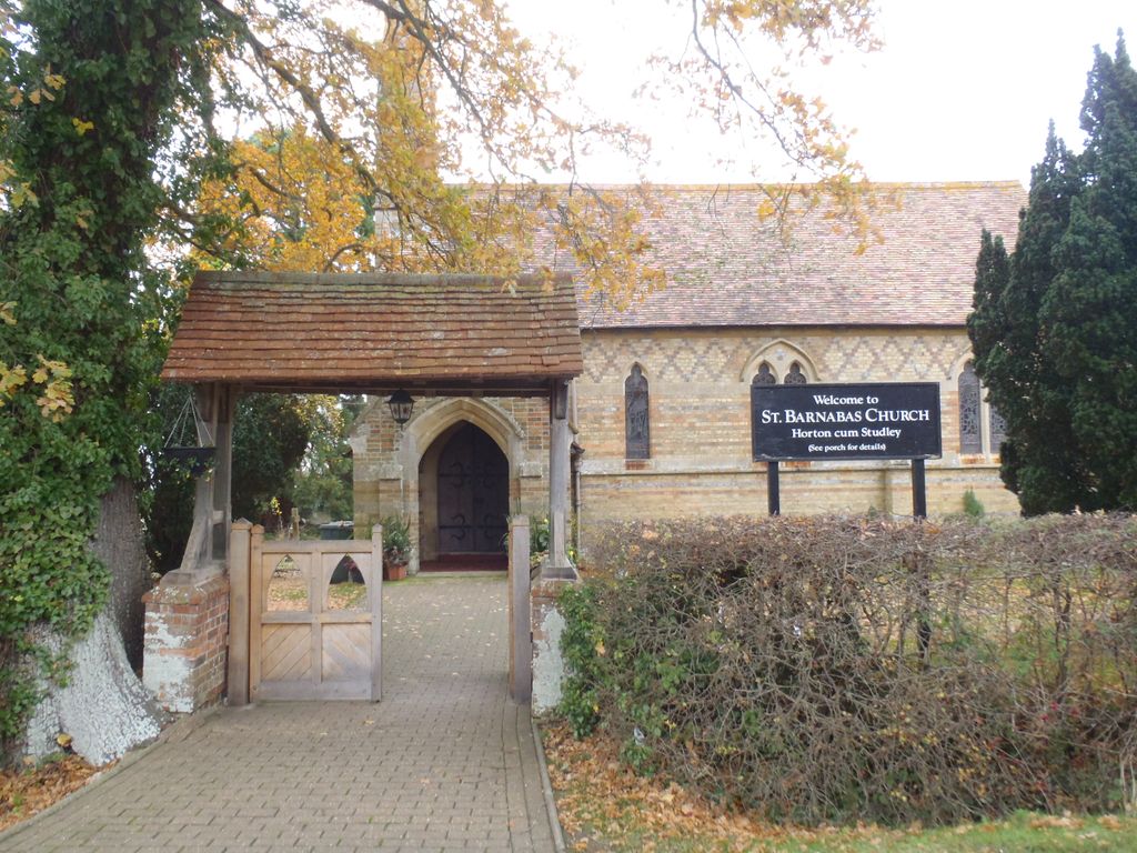
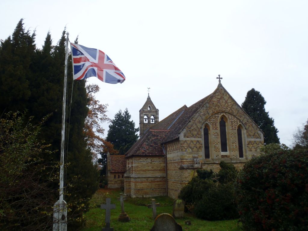
| Description | : | Horton and Studley are more than 2.5 miles (4 km) from the church of their ancient parish of Beckley. There is an isolated record of a chaplain serving Horton in the 13th century, but no subsequent records for about the next 300 years However, there is a record from 1553 of a chapel at Horton that had clearly been there for some time. About 1639 Sir George Croke had the north wing of Studley Priory converted into a chapel.The old village chapel was allowed to fall into disrepair and by 1685 it had fallen down.Villagers worshipped at the new Priory chapel,... Read More |
frequently asked questions (FAQ):
-
Where is St Barnabas Churchyard?
St Barnabas Churchyard is located at Church Lane Horton-cum-Studley, Cherwell District ,Oxfordshire , OX33 1ANEngland.
-
St Barnabas Churchyard cemetery's updated grave count on graveviews.com?
1 memorials
-
Where are the coordinates of the St Barnabas Churchyard?
Latitude: 51.8077260
Longitude: -1.1409690
Nearby Cemetories:
1. Studley Priory
Horton-cum-Studley, Cherwell District, England
Coordinate: 51.8054560, -1.1346920
2. Assumption of the Blessed Virgin Mary Churchyard
Beckley, South Oxfordshire District, England
Coordinate: 51.7972530, -1.1858920
3. Saint John the Baptist
Stanton St John, South Oxfordshire District, England
Coordinate: 51.7800350, -1.1642830
4. St. James' Churchyard
Boarstall, Aylesbury Vale District, England
Coordinate: 51.8218170, -1.0926460
5. St. Mary the Virgin Churchyard
Charlton-on-Otmoor, Cherwell District, England
Coordinate: 51.8381510, -1.1859010
6. St Mary Church Cemetery
Charlton-on-Otmoor, Cherwell District, England
Coordinate: 51.8394100, -1.1838090
7. St. Andrew Churchyard
Oddington, Cherwell District, England
Coordinate: 51.8291010, -1.1996230
8. St Mary Churchyard
Oakley, Aylesbury Vale District, England
Coordinate: 51.8054770, -1.0704700
9. St Giles Churchyard
Noke, Cherwell District, England
Coordinate: 51.8145050, -1.2114790
10. Forest Hill Church Cemetery
Forest Hill, South Oxfordshire District, England
Coordinate: 51.7641700, -1.1567100
11. St. Nicholas' Church
Forest Hill, South Oxfordshire District, England
Coordinate: 51.7641400, -1.1567200
12. Oxford Crematorium
Headington, City of Oxford, England
Coordinate: 51.7719240, -1.1904020
13. St Swithuns Churchyard
Merton, Cherwell District, England
Coordinate: 51.8559670, -1.1633060
14. St Thomas of Canterbury Churchyard
Elsfield, South Oxfordshire District, England
Coordinate: 51.7858680, -1.2178310
15. Woodeaton Holy Rood Churchyard
Woodeaton, South Oxfordshire District, England
Coordinate: 51.8031620, -1.2257910
16. St Bartholomew Churchyard
Holton, South Oxfordshire District, England
Coordinate: 51.7529490, -1.1246510
17. All Saints Churchyard
Brill, Aylesbury Vale District, England
Coordinate: 51.8196440, -1.0490570
18. St Nicholas Churchyard
Piddington, Cherwell District, England
Coordinate: 51.8477520, -1.0723950
19. St John the Baptist Churchyard
Piddington, Cherwell District, England
Coordinate: 51.8477859, -1.0723360
20. St Mary the Virgin Churchyard
Wheatley, South Oxfordshire District, England
Coordinate: 51.7476020, -1.1366080
21. Wheatley War Memorial
Wheatley, South Oxfordshire District, England
Coordinate: 51.7468630, -1.1388780
22. Cornerstone Church Cemetery
Headington, City of Oxford, England
Coordinate: 51.7587275, -1.1995588
23. Holy Trinity Churchyard
Headington, City of Oxford, England
Coordinate: 51.7577500, -1.1979980
24. St Andrew Churchyard
Headington, City of Oxford, England
Coordinate: 51.7647100, -1.2121400


