
| Memorials | : | 56 |
| Location | : | Landeck, Allen County, USA |
| Coordinate | : | 40.7999992, -84.3874969 |
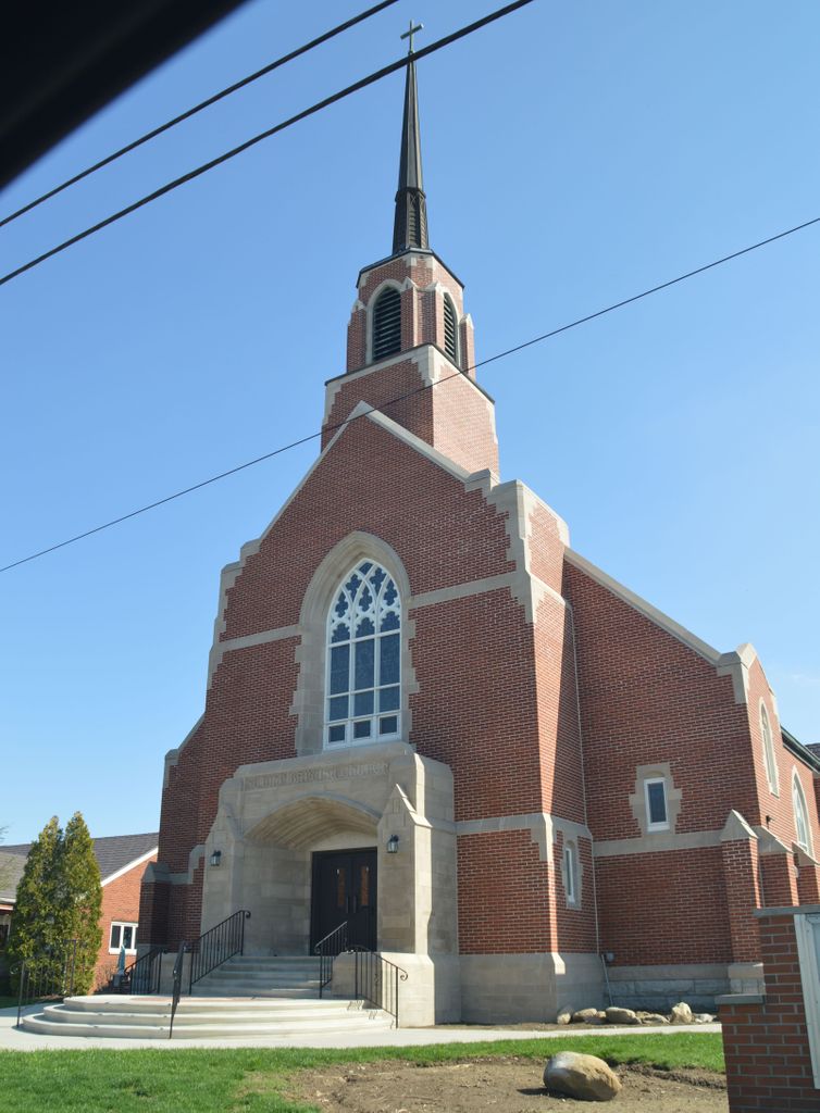
| Description | : | The cemetery is located on the east side of N Kill Road about 0.1 miles south of its intersection with Landeck Road. The cemetery is located in Marion Township, Allen County, Ohio, and is # 179 (Saint Johns Cemetery) in “Ohio Cemeteries 1803-2003”, compiled by the Ohio Genealogical Society. The cemetery is registered with the Ohio Division of Real Estate and Professional Licensing (ODRE) as St. John The Baptist Cemetery with registration license number CBR.0000981974. The U.S. Geological Survey (USGS) Geographic Names Information System (GNIS) feature ID for the cemetery is 1699324 (Saint Johns Cemetery). |
frequently asked questions (FAQ):
-
Where is Saint John the Baptist Catholic Cemetery?
Saint John the Baptist Catholic Cemetery is located at N Kill Road Landeck, Allen County ,Ohio , 45833USA.
-
Saint John the Baptist Catholic Cemetery cemetery's updated grave count on graveviews.com?
55 memorials
-
Where are the coordinates of the Saint John the Baptist Catholic Cemetery?
Latitude: 40.7999992
Longitude: -84.3874969
Nearby Cemetories:
1. Horeb Cemetery
Venedocia, Van Wert County, USA
Coordinate: 40.8005981, -84.4341965
2. West Union Cemetery
Spencerville, Allen County, USA
Coordinate: 40.7574997, -84.3641968
3. Westside Cemetery
Delphos, Van Wert County, USA
Coordinate: 40.8452988, -84.3507996
4. Venedocia Cemetery
Venedocia, Van Wert County, USA
Coordinate: 40.7863998, -84.4618988
5. Wright Cemetery
Venedocia, Van Wert County, USA
Coordinate: 40.7543983, -84.4356003
6. Saint John's Catholic Cemetery
Delphos, Allen County, USA
Coordinate: 40.8423620, -84.3319580
7. Goodwin Cemetery
Elgin, Van Wert County, USA
Coordinate: 40.7482986, -84.4614029
8. King Cemetery
Marion Township, Allen County, USA
Coordinate: 40.8060989, -84.2869034
9. King Cemetery
Middle Point, Van Wert County, USA
Coordinate: 40.8664017, -84.4377975
10. Fissel Lauth Cemetery
Van Wert County, USA
Coordinate: 40.7216988, -84.3972015
11. Walnut Grove Cemetery
Delphos, Allen County, USA
Coordinate: 40.8300018, -84.2906036
12. Hartford Cemetery
Spencerville, Allen County, USA
Coordinate: 40.7386017, -84.3158035
13. Old Hartford Cemetery
Allen County, USA
Coordinate: 40.7371788, -84.3140564
14. Hartshorn Cemetery
Allen County, USA
Coordinate: 40.8424988, -84.2908020
15. New Saint John's Catholic Cemetery
Delphos, Allen County, USA
Coordinate: 40.8451390, -84.2889380
16. Hance Cemetery
Converse, Van Wert County, USA
Coordinate: 40.7142000, -84.4136000
17. Pike Cemetery
Elida, Allen County, USA
Coordinate: 40.7947006, -84.2585983
18. Saint Patricks Cemetery
Spencerville, Allen County, USA
Coordinate: 40.7030983, -84.3585968
19. Ridge Cemetery
Middle Point, Van Wert County, USA
Coordinate: 40.8781013, -84.4692001
20. Spencerville Cemetery
Spencerville, Allen County, USA
Coordinate: 40.7002983, -84.3566971
21. Moeller Family Cemetery
Spencerville, Allen County, USA
Coordinate: 40.7070990, -84.3001040
22. Mount Calvary Cemetery
Fort Jennings, Putnam County, USA
Coordinate: 40.8986015, -84.3035965
23. Sharon Mennonite Cemetery
Elida, Allen County, USA
Coordinate: 40.7828080, -84.2332721
24. Doner Cemetery
Elida, Allen County, USA
Coordinate: 40.7951330, -84.2277470