
| Memorials | : | 138 |
| Location | : | Delphos, Van Wert County, USA |
| Coordinate | : | 40.8452988, -84.3507996 |
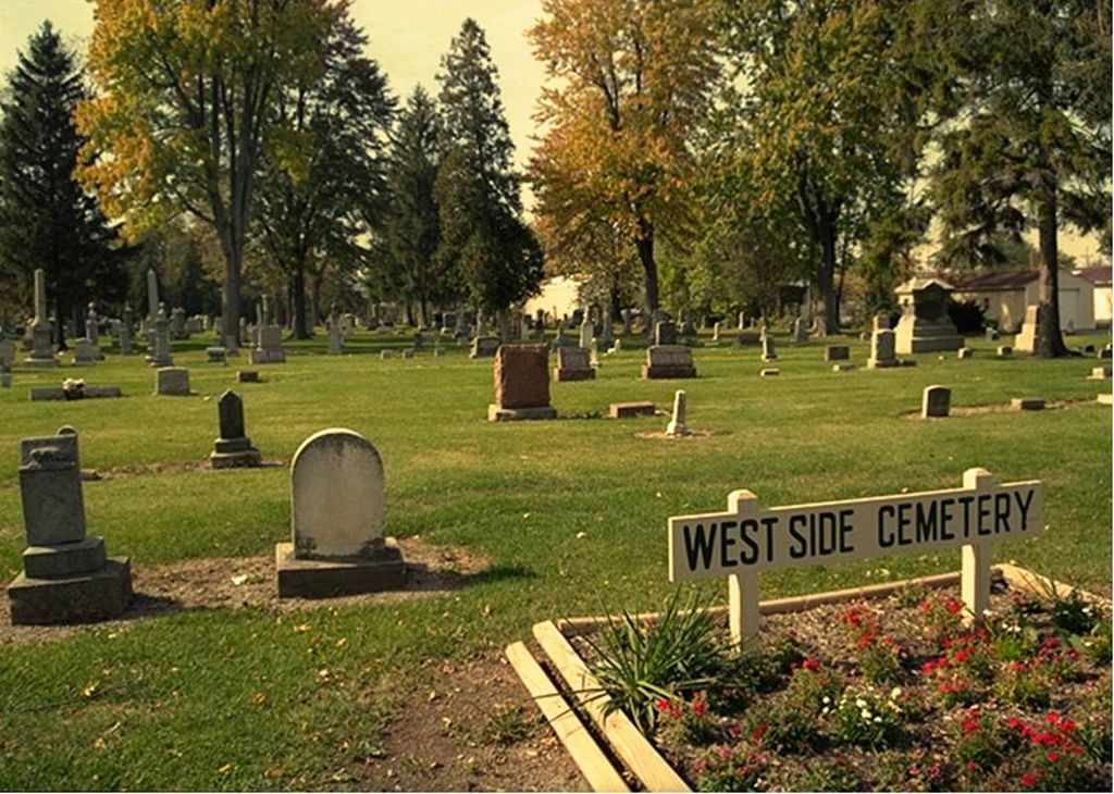
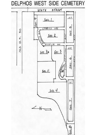
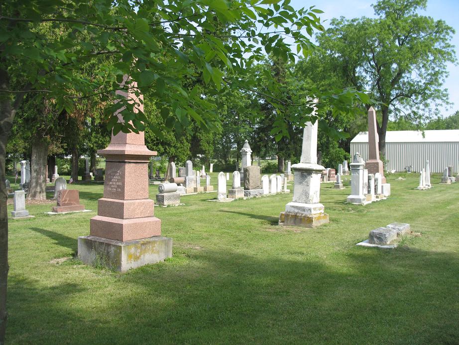
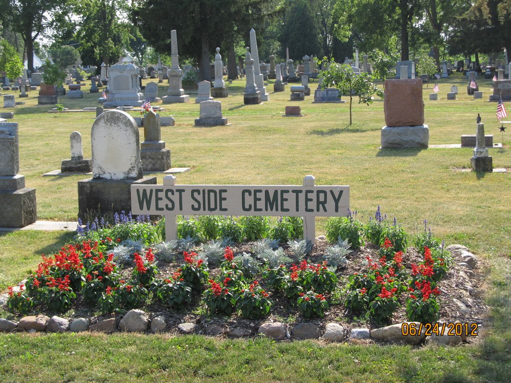
| Description | : | The cemetery is located on the northwest corner of the intersection of North State Street (Ohio State Route 697) and West 3rd Street. The cemetery is located in Washington Township, Van Wert County, Ohio, and is # 12063 (West Side Cemetery / Delphos Cemetery) in “Ohio Cemeteries 1803-2003”, compiled by the Ohio Genealogical Society. The U.S. Geological Survey (USGS) Geographic Names Information System (GNIS) feature ID for the cemetery is 1047831 (Westside Cemetery / West Side Cemetery). |
frequently asked questions (FAQ):
-
Where is Westside Cemetery?
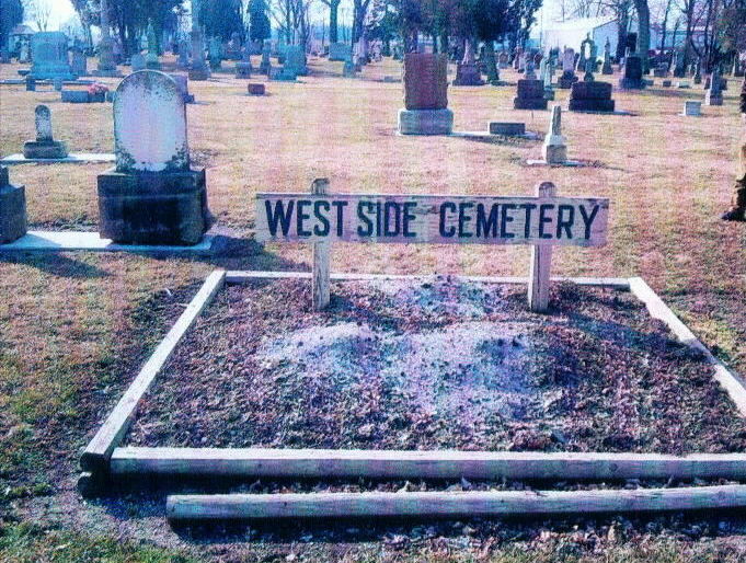
Westside Cemetery is located at North State Street Delphos, Van Wert County ,Ohio , 45833USA.
-
Westside Cemetery cemetery's updated grave count on graveviews.com?
132 memorials
-
Where are the coordinates of the Westside Cemetery?
Latitude: 40.8452988
Longitude: -84.3507996
Nearby Cemetories:
1. Saint John's Catholic Cemetery
Delphos, Allen County, USA
Coordinate: 40.8423620, -84.3319580
2. Hartshorn Cemetery
Allen County, USA
Coordinate: 40.8424988, -84.2908020
3. New Saint John's Catholic Cemetery
Delphos, Allen County, USA
Coordinate: 40.8451390, -84.2889380
4. Walnut Grove Cemetery
Delphos, Allen County, USA
Coordinate: 40.8300018, -84.2906036
5. Saint John the Baptist Catholic Cemetery
Landeck, Allen County, USA
Coordinate: 40.7999992, -84.3874969
6. King Cemetery
Marion Township, Allen County, USA
Coordinate: 40.8060989, -84.2869034
7. Mount Calvary Cemetery
Fort Jennings, Putnam County, USA
Coordinate: 40.8986015, -84.3035965
8. King Cemetery
Middle Point, Van Wert County, USA
Coordinate: 40.8664017, -84.4377975
9. Saint Joseph Cemetery
Fort Jennings, Putnam County, USA
Coordinate: 40.9056015, -84.2928009
10. Raabe Cemetery
Fort Jennings, Putnam County, USA
Coordinate: 40.8993988, -84.2789001
11. Horeb Cemetery
Venedocia, Van Wert County, USA
Coordinate: 40.8005981, -84.4341965
12. Hammons Cemetery
Ottoville, Putnam County, USA
Coordinate: 40.9223370, -84.3701410
13. Saint Marys Cemetery
Ottoville, Putnam County, USA
Coordinate: 40.9261017, -84.3399963
14. Pike Cemetery
Elida, Allen County, USA
Coordinate: 40.7947006, -84.2585983
15. West Union Cemetery
Spencerville, Allen County, USA
Coordinate: 40.7574997, -84.3641968
16. Ridge Cemetery
Middle Point, Van Wert County, USA
Coordinate: 40.8781013, -84.4692001
17. Venedocia Cemetery
Venedocia, Van Wert County, USA
Coordinate: 40.7863998, -84.4618988
18. Carmen Cemetery
Gomer, Allen County, USA
Coordinate: 40.8531380, -84.2118660
19. Doner Cemetery
Elida, Allen County, USA
Coordinate: 40.7951330, -84.2277470
20. Sharon Mennonite Cemetery
Elida, Allen County, USA
Coordinate: 40.7828080, -84.2332721
21. Keirns Cemetery
Sugar Creek Township, Putnam County, USA
Coordinate: 40.8875008, -84.2181015
22. Hartford Cemetery
Spencerville, Allen County, USA
Coordinate: 40.7386017, -84.3158035
23. Wright Cemetery
Venedocia, Van Wert County, USA
Coordinate: 40.7543983, -84.4356003
24. Old Hartford Cemetery
Allen County, USA
Coordinate: 40.7371788, -84.3140564