
| Memorials | : | 2 |
| Location | : | Benton Township, Hocking County, USA |
| Coordinate | : | 39.4294014, -82.5294037 |
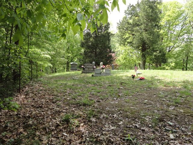
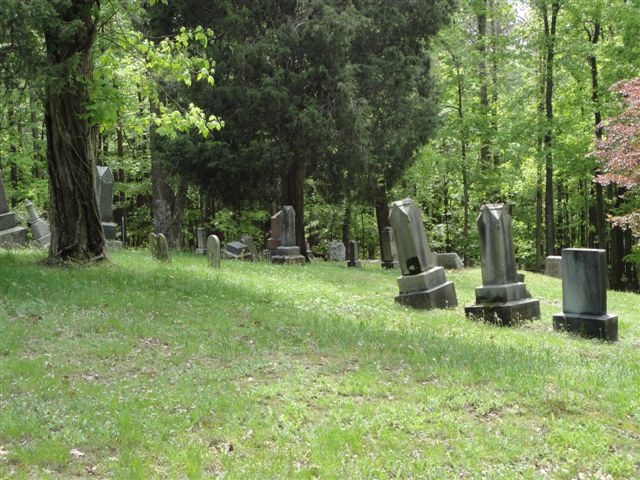
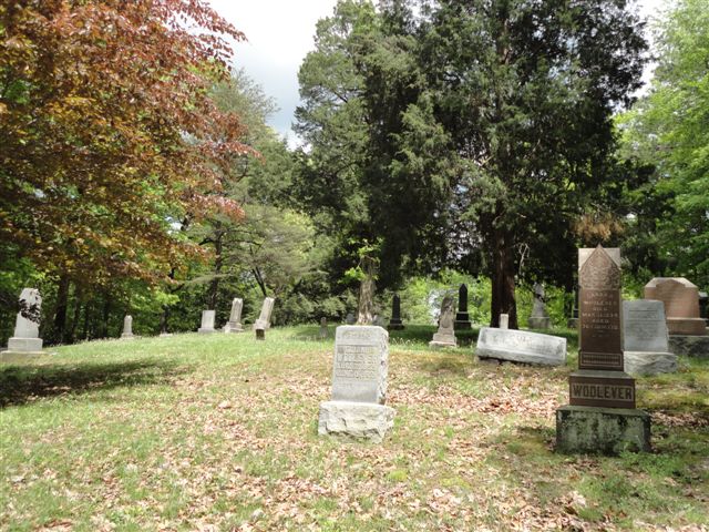
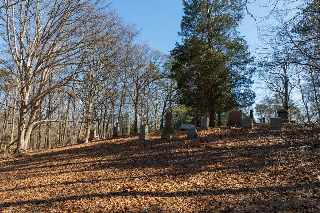
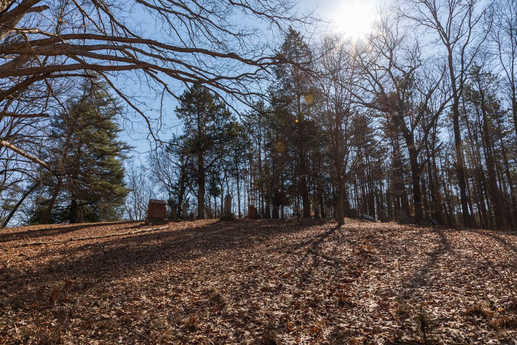
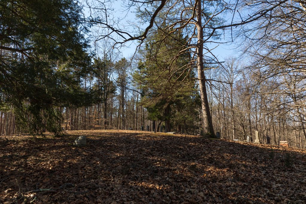
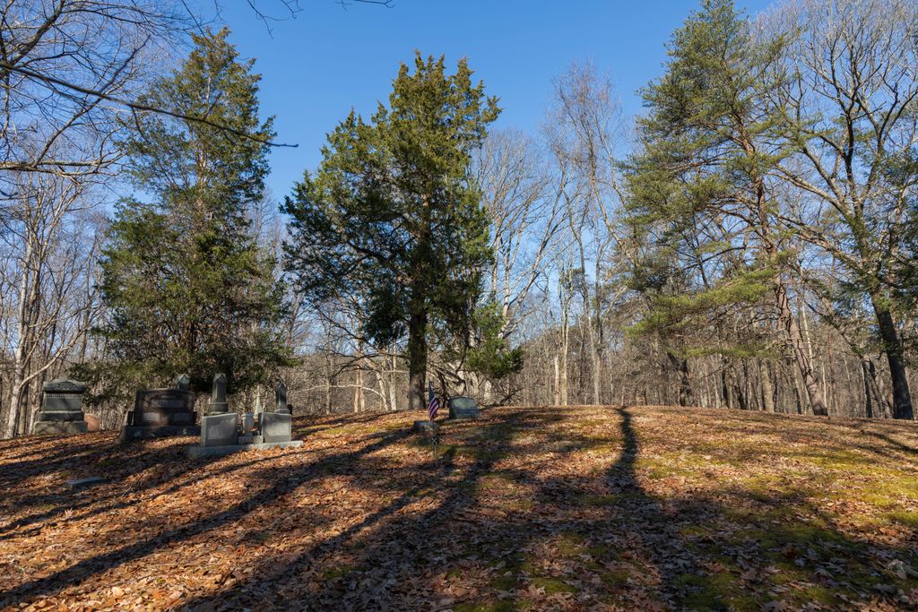
| Description | : | The cemetery is located on the west side of Ohio State Route 374 about 0.6 miles north of its intersection with Cotterman Road (Township Road 246). The cemetery is located in Benten Township, Hocking County, Ohio, and is # 5372 (Saint John the Baptist Cemetery / Baptist Cemetery / Williams Cemetery) in “Ohio Cemeteries 1803-2003”, compiled by the Ohio Genealogical Society. The cemetery is registered with the Ohio Division of Real Estate and Professional Licensing (ODRE) as St, John The Baptist with registration license number CGR.0000981680. The U.S. Geological Survey (USGS) Geographic Names Information System (GNIS) feature ID... Read More |
frequently asked questions (FAQ):
-
Where is Saint John the Baptist Cemetery?
Saint John the Baptist Cemetery is located at Ohio State Route 374 Benton Township, Hocking County ,Ohio , 43138USA.
-
Saint John the Baptist Cemetery cemetery's updated grave count on graveviews.com?
2 memorials
-
Where are the coordinates of the Saint John the Baptist Cemetery?
Latitude: 39.4294014
Longitude: -82.5294037
Nearby Cemetories:
1. Wesley Chapel Cemetery
South Bloomingville, Hocking County, USA
Coordinate: 39.4110400, -82.5388300
2. Pine Grove Cemetery
South Bloomingville, Hocking County, USA
Coordinate: 39.4509830, -82.5732730
3. Fairview Church Cemetery
Washington Township, Hocking County, USA
Coordinate: 39.4011192, -82.4872818
4. Collison Cemetery
Logan, Hocking County, USA
Coordinate: 39.4678879, -82.4882126
5. Ebenezer Cemetery
McArthur, Vinton County, USA
Coordinate: 39.3811792, -82.5051573
6. Liberty Hill Cemetery
South Bloomingville, Hocking County, USA
Coordinate: 39.3953620, -82.5815690
7. South Bloomingville Cemetery
South Bloomingville, Hocking County, USA
Coordinate: 39.4160000, -82.5991600
8. Prospect Cemetery
Washington Township, Hocking County, USA
Coordinate: 39.4817009, -82.5025024
9. Strawn Cemetery
Washington Township, Hocking County, USA
Coordinate: 39.4710999, -82.4777985
10. Ilesboro Cemetery
Washington Township, Hocking County, USA
Coordinate: 39.4322900, -82.4510000
11. Beery Cemetery
South Bloomingville, Hocking County, USA
Coordinate: 39.4136700, -82.6089000
12. Mount Pleasant Methodist Church Cemetery
Mount Pleasant, Vinton County, USA
Coordinate: 39.3928200, -82.4600370
13. Conrad Cemetery
Hocking County, USA
Coordinate: 39.5003400, -82.5277830
14. Johnson Cemetery
Mount Pleasant, Vinton County, USA
Coordinate: 39.3809400, -82.4561000
15. Old Gibisonville ME United Brethren Cemetery
Gibisonville, Hocking County, USA
Coordinate: 39.4990770, -82.5651490
16. Oak Grove Cemetery
South Perry, Hocking County, USA
Coordinate: 39.4722519, -82.6111603
17. Morris Chapel Cemetery
Logan, Hocking County, USA
Coordinate: 39.4886779, -82.4634891
18. Spunk Cemetery
Vinton County, USA
Coordinate: 39.3624992, -82.5856018
19. Beery Cemetery
South Bloomingville, Hocking County, USA
Coordinate: 39.4141998, -82.6311035
20. Harper Cemetery
Salt Creek Township, Hocking County, USA
Coordinate: 39.4141830, -82.6312380
21. Old Baptist Cemetery
Laurel Township, Hocking County, USA
Coordinate: 39.4901090, -82.5973750
22. Laurel Cemetery
Gibisonville, Hocking County, USA
Coordinate: 39.5073350, -82.5557060
23. Mount Olive Cemetery
Gibisonville, Hocking County, USA
Coordinate: 39.5071983, -82.5567017
24. Otterbein Chapel Cemetery
Allensville, Vinton County, USA
Coordinate: 39.3587320, -82.5804440