| Memorials | : | 0 |
| Location | : | Henstridge, South Somerset District, England |
| Coordinate | : | 50.9762610, -2.3957980 |
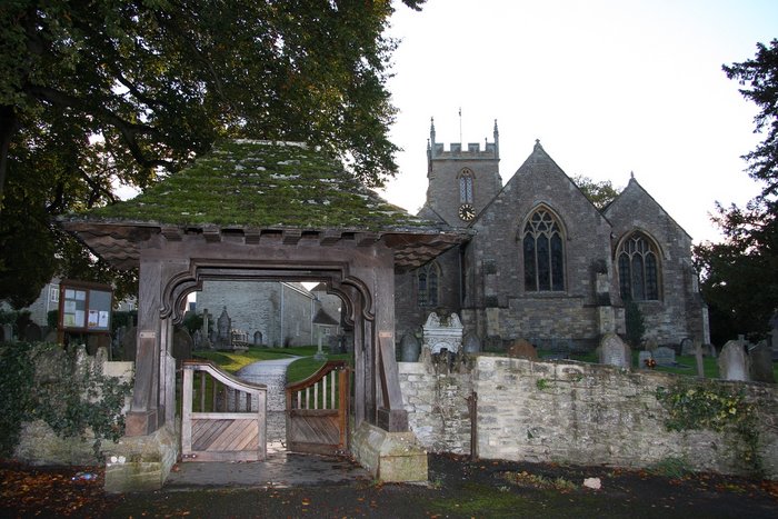
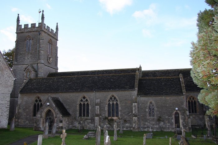
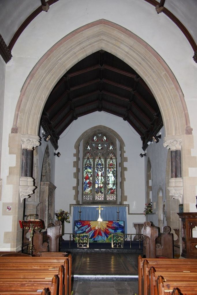
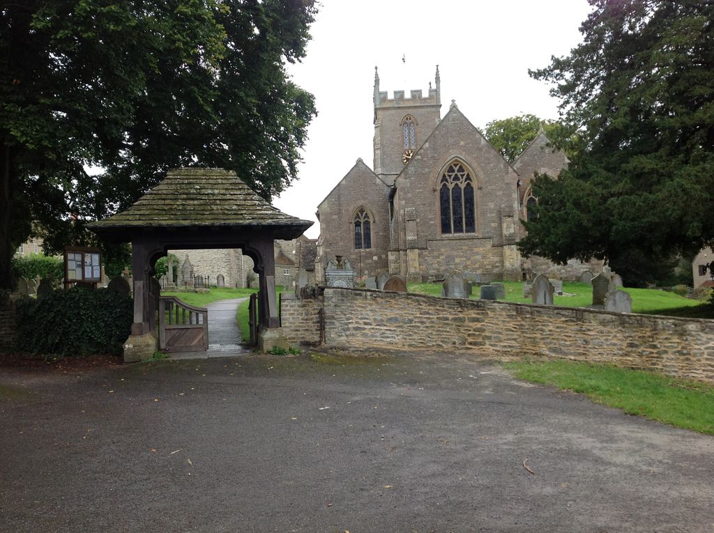
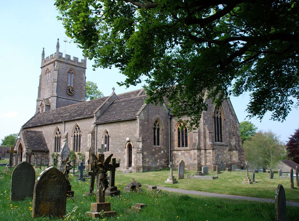
| Description | : | The earliest known date of a church here is 1175, when the Vicar was John Luke. The first church lasted untill 1332, when a new one was built, it consisted of a nave, chancel and north aisle, and contained a gallery. In 1463, Sir William Cavent of Toomer erected a tomb to his late wife and to himself; it was carefully re-erected in the present church. In 1872 the medieval church was in such a poor condition that it was pulled down and a new church was built. Only parts of the north and west walls of the north aisle... Read More |
frequently asked questions (FAQ):
-
Where is St Nicholas Churchyard?
St Nicholas Churchyard is located at Church Street Henstridge, South Somerset District ,Somerset , BA8 0QEEngland.
-
St Nicholas Churchyard cemetery's updated grave count on graveviews.com?
0 memorials
-
Where are the coordinates of the St Nicholas Churchyard?
Latitude: 50.9762610
Longitude: -2.3957980
Nearby Cemetories:
1. St Mary Churchyard
Stalbridge, North Dorset District, England
Coordinate: 50.9623690, -2.3808740
2. St. Peter's Churchyard
Purse Caundle, West Dorset District, England
Coordinate: 50.9569440, -2.4342330
3. Purse Caundle Civic Cemetery
Purse Caundle, West Dorset District, England
Coordinate: 50.9553680, -2.4327770
4. Saint John's Churchyard
Horsington, South Somerset District, England
Coordinate: 51.0126300, -2.4238400
5. St. Peter's Churchyard
Stourton Caundle, North Dorset District, England
Coordinate: 50.9354210, -2.4080470
6. Stourton Caundle Civic Cemetery
Stourton Caundle, North Dorset District, England
Coordinate: 50.9349030, -2.4065510
7. Milborne Port Cemetery
Milborne Port, South Somerset District, England
Coordinate: 50.9662940, -2.4605880
8. Milborne Port Churchyard
Milborne Port, South Somerset District, England
Coordinate: 50.9653900, -2.4621550
9. St. Peter's Churchyard
Goathill, West Dorset District, England
Coordinate: 50.9534230, -2.4628960
10. All Saints Churchyard
Kington Magna, North Dorset District, England
Coordinate: 51.0072810, -2.3320080
11. Marnhull Garden Cemetery
Marnhull, North Dorset District, England
Coordinate: 50.9732060, -2.3135975
12. Saint Gregory Churchyard
Marnhull, North Dorset District, England
Coordinate: 50.9677060, -2.3121550
13. Our Lady's church
Marnhull, North Dorset District, England
Coordinate: 50.9805432, -2.3110536
14. Civic Cemetery
Buckhorn Weston, North Dorset District, England
Coordinate: 51.0212440, -2.3484600
15. St John The Baptist Churchyard
Buckhorn Weston, North Dorset District, England
Coordinate: 51.0212870, -2.3481780
16. St Mary Magdalene Churchyard
Fifehead Magdalen, North Dorset District, England
Coordinate: 50.9933080, -2.3108970
17. North Cheriton Cemetery
North Cheriton, South Somerset District, England
Coordinate: 51.0284840, -2.4389150
18. St. Catherine's Churchyard
Haydon, West Dorset District, England
Coordinate: 50.9404290, -2.4702910
19. St. Thomas A. Beckett Churchyard
Lydlinch, North Dorset District, England
Coordinate: 50.9190370, -2.3675640
20. Saint Peter & Saint Paul Churchyard
Charlton Horethorne, South Somerset District, England
Coordinate: 51.0060200, -2.4790100
21. Saint Barnabas Churchyard
Lydlinch, North Dorset District, England
Coordinate: 50.9157030, -2.3961520
22. St Barnabas Church
Stock Gaylard, North Dorset District, England
Coordinate: 50.9148900, -2.3968200
23. St Cuthbert Churchyard
Oborne, West Dorset District, England
Coordinate: 50.9649280, -2.4941270
24. Saint John the Baptist Churchyard
North Cheriton, South Somerset District, England
Coordinate: 51.0309000, -2.4474000

