
| Memorials | : | 0 |
| Location | : | Greensboro, Guilford County, USA |
| Coordinate | : | 36.0835810, -79.9814340 |
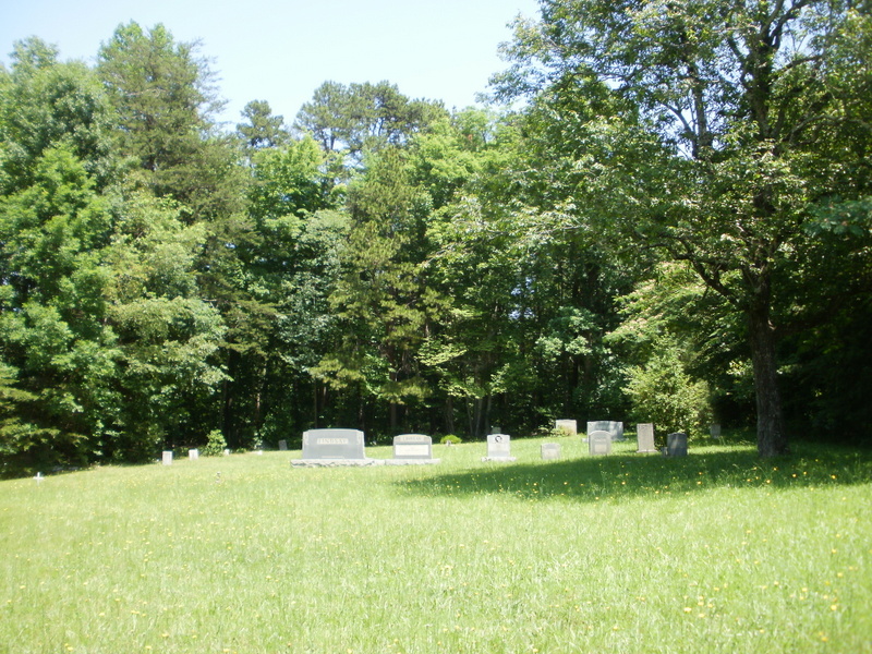
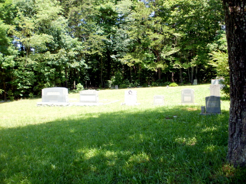
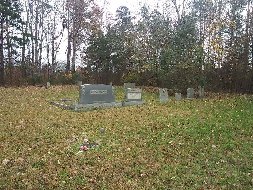
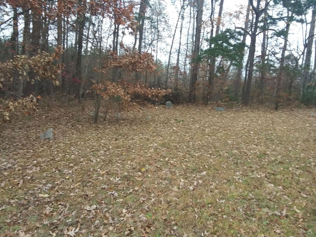
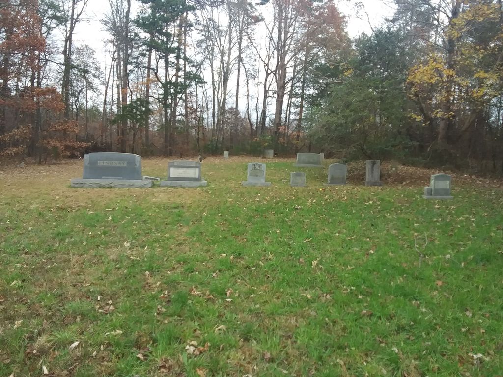
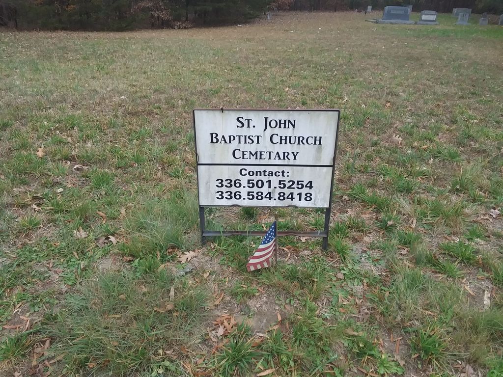
| Description | : | The offical address for this small cemetery is 7961 National Service Rd. The cemetery is actually located on National Center Dr which is off of National Service Rd. It is located in an industrial area. There is no sign or marker for the cemetery. Information about name taken from Guilford County GIS and information supplied by member of family buried in cemetery. This is an African-American cemetery. This cemetery is mowed but has holes and sunken graves, so one needs to pay attention to the ground when walking around the cemetery. |
frequently asked questions (FAQ):
-
Where is Saint Johns Church Cemetery?
Saint Johns Church Cemetery is located at 7961 National Service Rd Greensboro, Guilford County ,North Carolina ,USA.
-
Saint Johns Church Cemetery cemetery's updated grave count on graveviews.com?
0 memorials
-
Where are the coordinates of the Saint Johns Church Cemetery?
Latitude: 36.0835810
Longitude: -79.9814340
Nearby Cemetories:
1. Smith Grove Baptist Church Cemetery
Colfax, Guilford County, USA
Coordinate: 36.0856700, -79.9937170
2. Zion Hill United Methodist Church Cemetery
Colfax, Guilford County, USA
Coordinate: 36.0865610, -79.9945560
3. Sandy Ridge United Methodist Church Cemetery
High Point, Guilford County, USA
Coordinate: 36.0722300, -80.0003740
4. The Church of Jesus Christ of LDS Cemetery
Colfax, Guilford County, USA
Coordinate: 36.1042100, -79.9958200
5. Friendship United Methodist Church Cemetery
Friendship, Guilford County, USA
Coordinate: 36.0958140, -79.9534400
6. Shady Grove Wesleyan Church Cemetery
Colfax, Guilford County, USA
Coordinate: 36.1138115, -80.0147629
7. Dover Friends Meeting Cemetery
Colfax, Guilford County, USA
Coordinate: 36.1274810, -79.9971490
8. Persimmon Grove A.M.E. Cemetery
Guilford County, USA
Coordinate: 36.0747190, -79.9153200
9. Deep River Friends Meeting Cemetery
High Point, Guilford County, USA
Coordinate: 36.0307770, -79.9640808
10. Hickory Grove United Methodist Church Cemetery
Guilford County, USA
Coordinate: 36.0474970, -79.9265630
11. Mount Carmel Baptist Church Cemetery
High Point, Guilford County, USA
Coordinate: 36.0278854, -80.0074005
12. Baker Family Cemetery
Kernersville, Forsyth County, USA
Coordinate: 36.1207930, -80.0419290
13. Raleighs Crossroads UMC Cemetery
Greensboro, Guilford County, USA
Coordinate: 36.0608420, -79.9095370
14. Reynolds Chapel Baptist Church Cemetery
Greensboro, Guilford County, USA
Coordinate: 36.0642690, -79.9078590
15. Turners Chapel AME Church Cemetery
Friendship, Guilford County, USA
Coordinate: 36.0239300, -79.9566830
16. Bunker Hill Community Cemetery
Kernersville, Forsyth County, USA
Coordinate: 36.0745970, -80.0587980
17. Shining Light Baptist Church Cemetery
Greensboro, Guilford County, USA
Coordinate: 36.0528500, -79.9115420
18. Northwest Baptist Church Cemetery
Greensboro, Guilford County, USA
Coordinate: 36.1461800, -79.9543460
19. Sunlight Baptist Church Cemetery
Kernersville, Forsyth County, USA
Coordinate: 36.1073280, -80.0607210
20. Midway Baptist Church Cemetery
Jamestown, Guilford County, USA
Coordinate: 36.0303860, -79.9223720
21. Seventh Day Adventist Cemetery
Kernersville, Forsyth County, USA
Coordinate: 36.1165500, -80.0608340
22. Ai Methodist Memorial Cemetery
Oak Ridge, Guilford County, USA
Coordinate: 36.1558990, -79.9756012
23. Pleasant Ridge Christian Church Cemetery
Greensboro, Guilford County, USA
Coordinate: 36.1484860, -79.9391910
24. New Garden Friends Cemetery
Greensboro, Guilford County, USA
Coordinate: 36.0912790, -79.8908890