
| Memorials | : | 9 |
| Location | : | High Point, Guilford County, USA |
| Coordinate | : | 36.0722300, -80.0003740 |
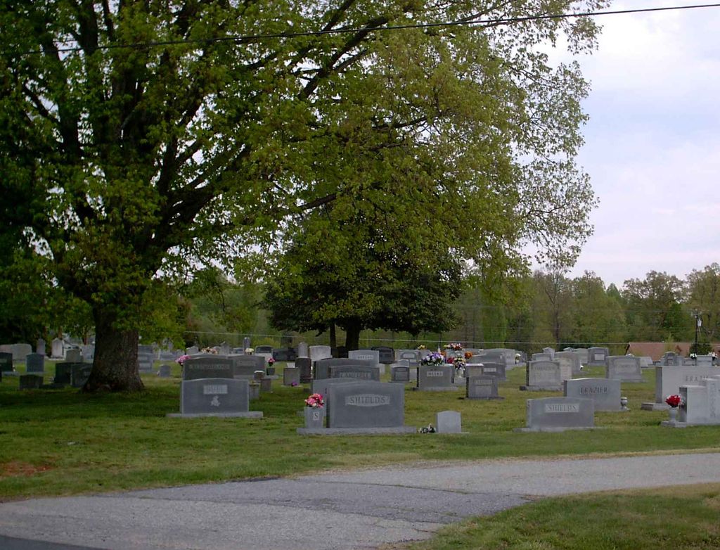
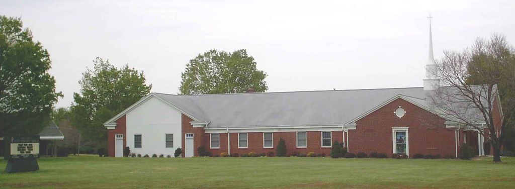
| Description | : | Sandy Ridge United Methodist Church cemetery in Colfax, NC. This is located on Sandy Ridge Rd. at the intersection of Sandy Camp Rd., and is across the road from the church. |
frequently asked questions (FAQ):
-
Where is Sandy Ridge United Methodist Church Cemetery?
Sandy Ridge United Methodist Church Cemetery is located at 2223 Sandy Ridge Rd High Point, Guilford County ,North Carolina ,USA.
-
Sandy Ridge United Methodist Church Cemetery cemetery's updated grave count on graveviews.com?
9 memorials
-
Where are the coordinates of the Sandy Ridge United Methodist Church Cemetery?
Latitude: 36.0722300
Longitude: -80.0003740
Nearby Cemetories:
1. Smith Grove Baptist Church Cemetery
Colfax, Guilford County, USA
Coordinate: 36.0856700, -79.9937170
2. Zion Hill United Methodist Church Cemetery
Colfax, Guilford County, USA
Coordinate: 36.0865610, -79.9945560
3. Saint Johns Church Cemetery
Greensboro, Guilford County, USA
Coordinate: 36.0835810, -79.9814340
4. The Church of Jesus Christ of LDS Cemetery
Colfax, Guilford County, USA
Coordinate: 36.1042100, -79.9958200
5. Shady Grove Wesleyan Church Cemetery
Colfax, Guilford County, USA
Coordinate: 36.1138115, -80.0147629
6. Friendship United Methodist Church Cemetery
Friendship, Guilford County, USA
Coordinate: 36.0958140, -79.9534400
7. Mount Carmel Baptist Church Cemetery
High Point, Guilford County, USA
Coordinate: 36.0278854, -80.0074005
8. Bunker Hill Community Cemetery
Kernersville, Forsyth County, USA
Coordinate: 36.0745970, -80.0587980
9. Deep River Friends Meeting Cemetery
High Point, Guilford County, USA
Coordinate: 36.0307770, -79.9640808
10. Dover Friends Meeting Cemetery
Colfax, Guilford County, USA
Coordinate: 36.1274810, -79.9971490
11. Baker Family Cemetery
Kernersville, Forsyth County, USA
Coordinate: 36.1207930, -80.0419290
12. Turners Chapel AME Church Cemetery
Friendship, Guilford County, USA
Coordinate: 36.0239300, -79.9566830
13. Sunlight Baptist Church Cemetery
Kernersville, Forsyth County, USA
Coordinate: 36.1073280, -80.0607210
14. Hickory Grove United Methodist Church Cemetery
Guilford County, USA
Coordinate: 36.0474970, -79.9265630
15. Seventh Day Adventist Cemetery
Kernersville, Forsyth County, USA
Coordinate: 36.1165500, -80.0608340
16. Persimmon Grove A.M.E. Cemetery
Guilford County, USA
Coordinate: 36.0747190, -79.9153200
17. Bnai Israel Cemetery
Horneytown, Forsyth County, USA
Coordinate: 36.0149560, -80.0524380
18. Kernersville Church of Christ Cemetery
Kernersville, Forsyth County, USA
Coordinate: 36.1061950, -80.0789980
19. Muddy Creek Friends Cemetery
Kernersville, Forsyth County, USA
Coordinate: 36.1008148, -80.0831680
20. Raleighs Crossroads UMC Cemetery
Greensboro, Guilford County, USA
Coordinate: 36.0608420, -79.9095370
21. Shining Light Baptist Church Cemetery
Greensboro, Guilford County, USA
Coordinate: 36.0528500, -79.9115420
22. Reynolds Chapel Baptist Church Cemetery
Greensboro, Guilford County, USA
Coordinate: 36.0642690, -79.9078590
23. Midway Baptist Church Cemetery
Jamestown, Guilford County, USA
Coordinate: 36.0303860, -79.9223720
24. Main Street United Methodist Church Cemetery
Kernersville, Forsyth County, USA
Coordinate: 36.1170380, -80.0783120