
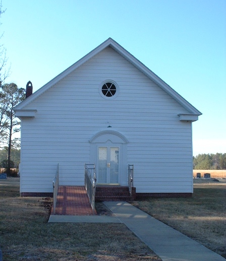
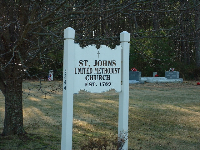
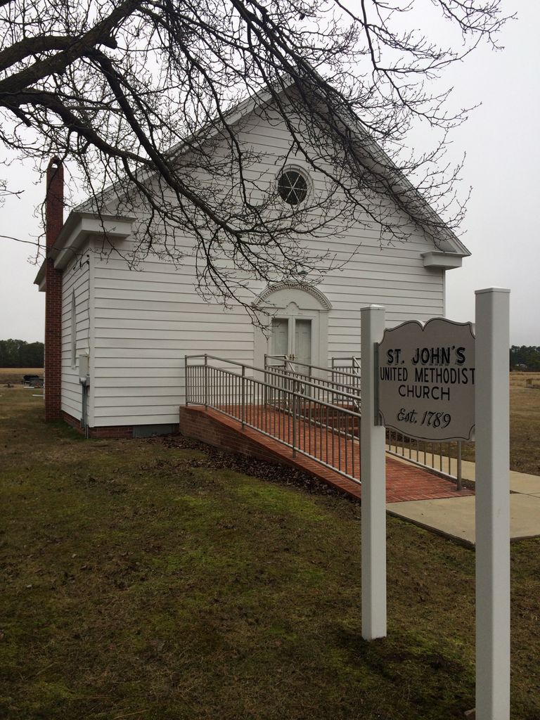
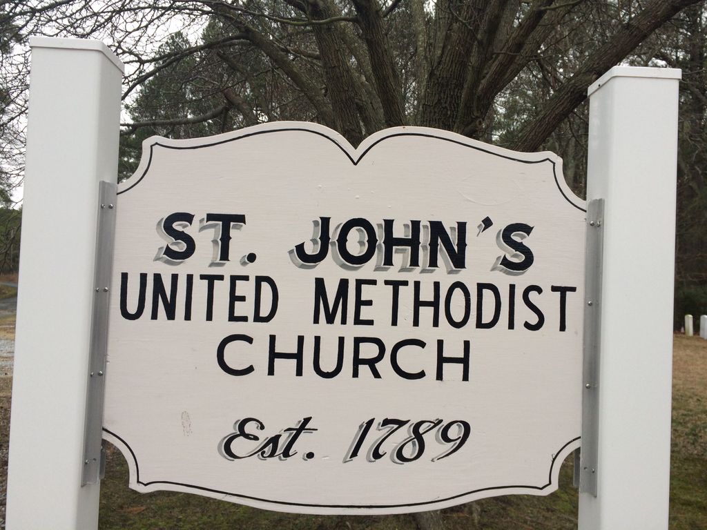
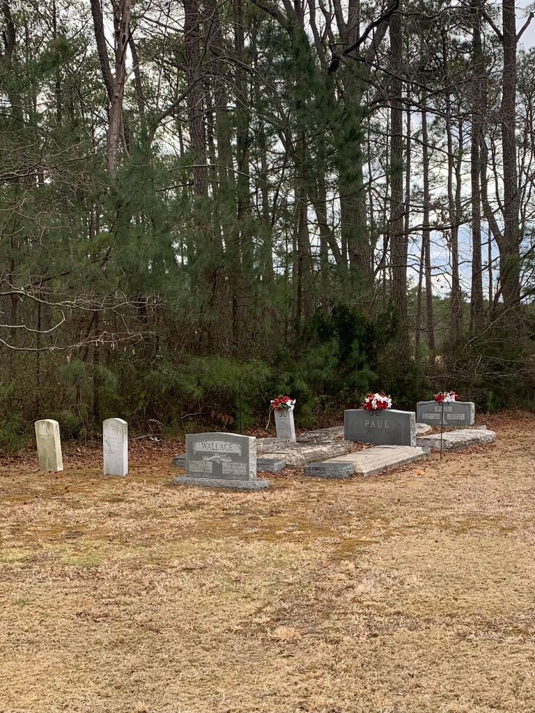
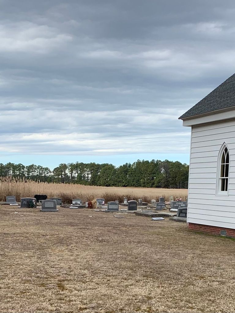
| Memorials | : | 5 |
| Location | : | Church Creek, Dorchester County, USA |
| Coordinate | : | 38.3821983, -76.1936035 |
frequently asked questions (FAQ):
-
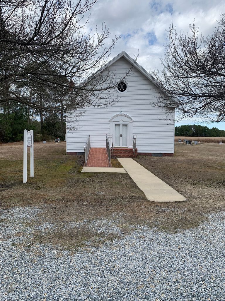
Where is Saint Johns United Methodist Church Cemetery?
Saint Johns United Methodist Church Cemetery is located at 3244 Kirwan’s Neck Rd Church Creek, Dorchester County ,Maryland , 21622USA.
-
Saint Johns United Methodist Church Cemetery cemetery's updated grave count on graveviews.com?
5 memorials
-
Where are the coordinates of the Saint Johns United Methodist Church Cemetery?
Latitude: 38.3821983
Longitude: -76.1936035
Nearby Cemetories:
1. Gootee Cemetery
Dorchester County, USA
Coordinate: 38.3793983, -76.1718979
2. John Wesley United Methodist Church Cemetery
Church Creek, Dorchester County, USA
Coordinate: 38.3823200, -76.1472800
3. Saint Mary Star of the Sea Cemetery
Hooper Islands, Dorchester County, USA
Coordinate: 38.3856010, -76.2491989
4. Blackwater National Wildlife Refuge Cemetery
Church Creek, Dorchester County, USA
Coordinate: 38.4239450, -76.1752370
5. Oak Grove Methodist Episcopal Church Cemetery
Dorchester County, USA
Coordinate: 38.4134554, -76.2341108
6. Saint Peters Methodist Episcopal Church Cemetery
Church Creek, Dorchester County, USA
Coordinate: 38.3798570, -76.2504790
7. Old Hoopers Island Graveyard
Dorchester County, USA
Coordinate: 38.3468159, -76.2297535
8. George Carroll Insley Farm Cemetery
Lakesville, Dorchester County, USA
Coordinate: 38.3414270, -76.1497050
9. Wyville Andrews Farm Cemetery
Lakesville, Dorchester County, USA
Coordinate: 38.3548210, -76.1241990
10. Roberts Home Cemetery
Andrews, Dorchester County, USA
Coordinate: 38.3552120, -76.1024980
11. Ebenezer Cemetery
Dorchester County, USA
Coordinate: 38.3168983, -76.1153030
12. William Andrews Family Cemetery
Crapo, Dorchester County, USA
Coordinate: 38.3188400, -76.1105500
13. Sandy Island Cemetery
Robbins, Dorchester County, USA
Coordinate: 38.3827900, -76.0629100
14. Charles Wingate Home Cemetery
Wingate, Dorchester County, USA
Coordinate: 38.3058520, -76.1047080
15. Zebidee Hayward Home Cemetery
Toddville, Dorchester County, USA
Coordinate: 38.3188700, -76.0882200
16. Zebedee Hayward Home Cemetery
Wingate, Dorchester County, USA
Coordinate: 38.3188000, -76.0882600
17. Frank Hayward Home Cemetery
Toddville, Dorchester County, USA
Coordinate: 38.3119990, -76.0953300
18. Insley Cemetery
Dorchester County, USA
Coordinate: 38.4310989, -76.0689011
19. Harrisville Malone Cemetery
Harrisville, Dorchester County, USA
Coordinate: 38.4914100, -76.2169200
20. Smithville Cemetery
Smithville, Dorchester County, USA
Coordinate: 38.4740000, -76.2753700
21. Middle Hooper Island Cemetery
Fishing Creek, Dorchester County, USA
Coordinate: 38.2680180, -76.1832290
22. Old Field Cemetery
Cambridge, Dorchester County, USA
Coordinate: 38.4918870, -76.1324520
23. Isaac Andrews Home Cemetery
Toddville, Dorchester County, USA
Coordinate: 38.3205800, -76.0584400
24. Old Trinity Episcopal Church Cemetery
Church Creek, Dorchester County, USA
Coordinate: 38.5040070, -76.1660580