
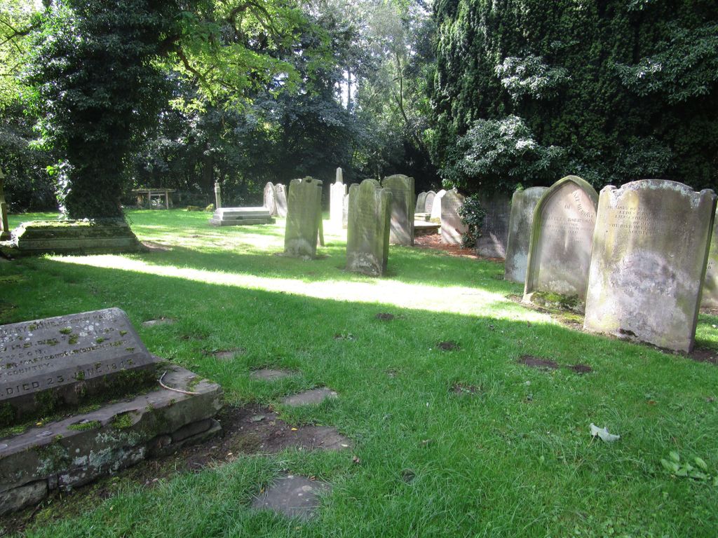
| Memorials | : | 0 |
| Location | : | Gainford, Durham Unitary Authority, England |
| Coordinate | : | 54.5453800, -1.7389100 |
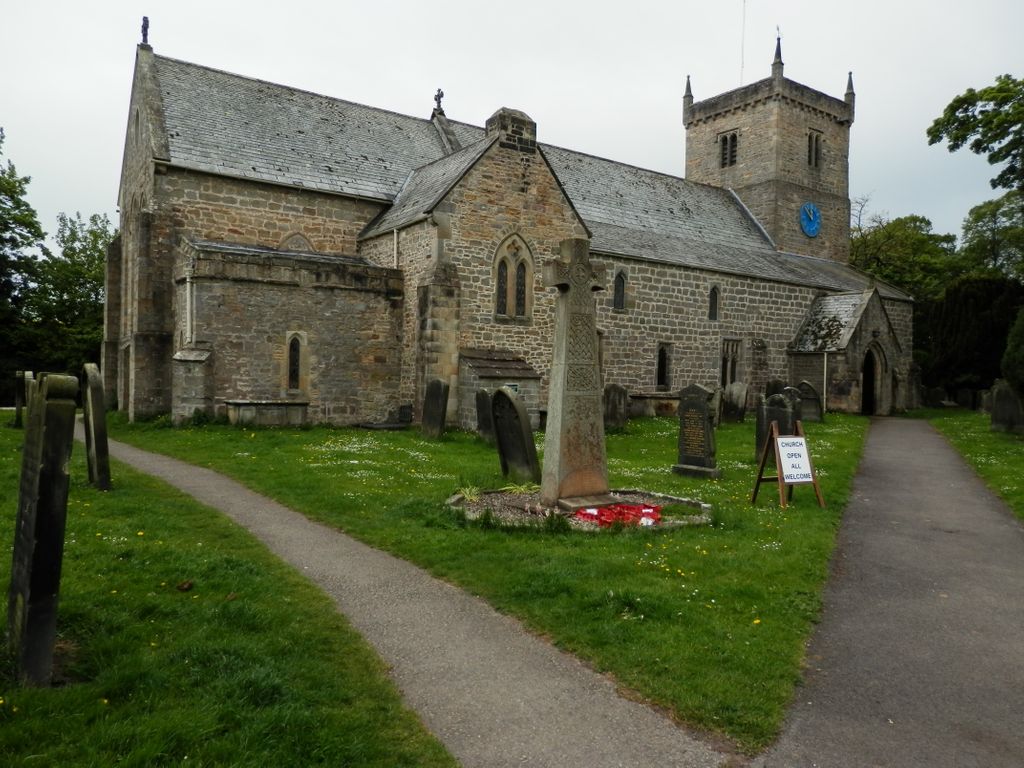
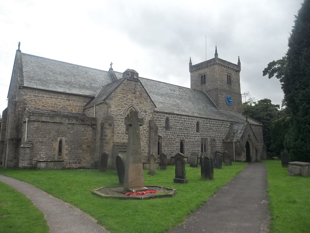
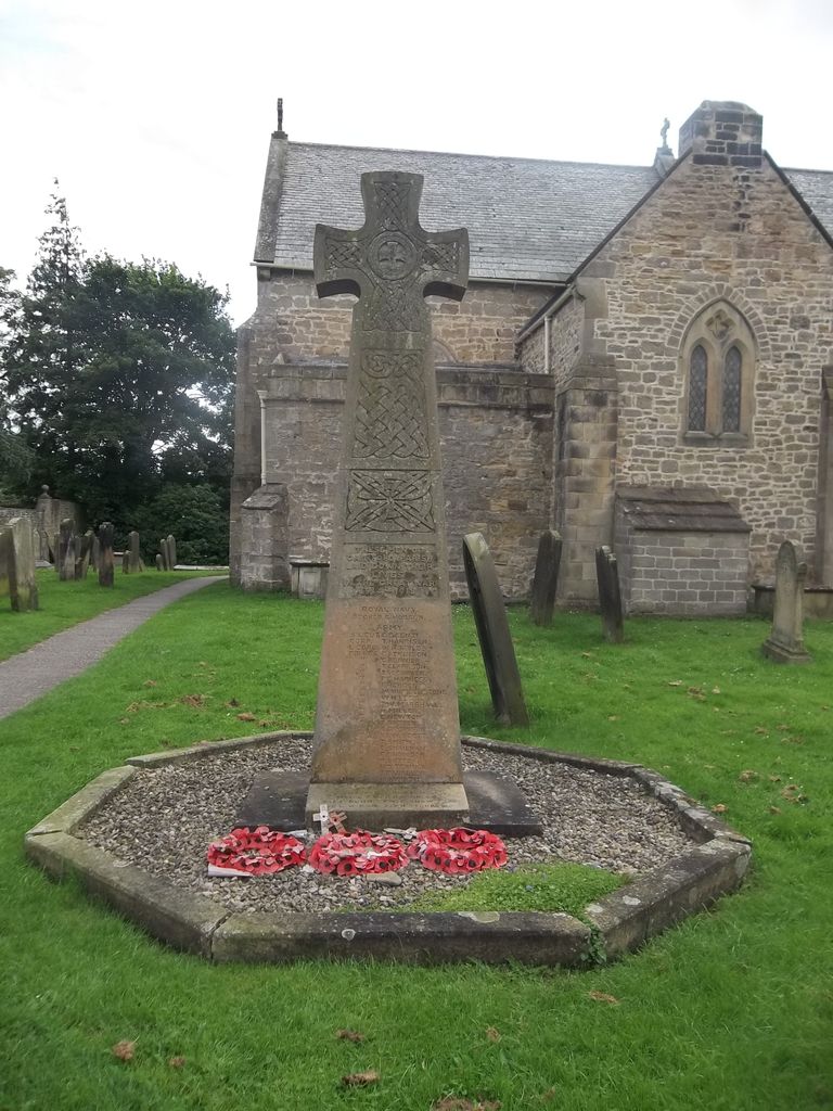
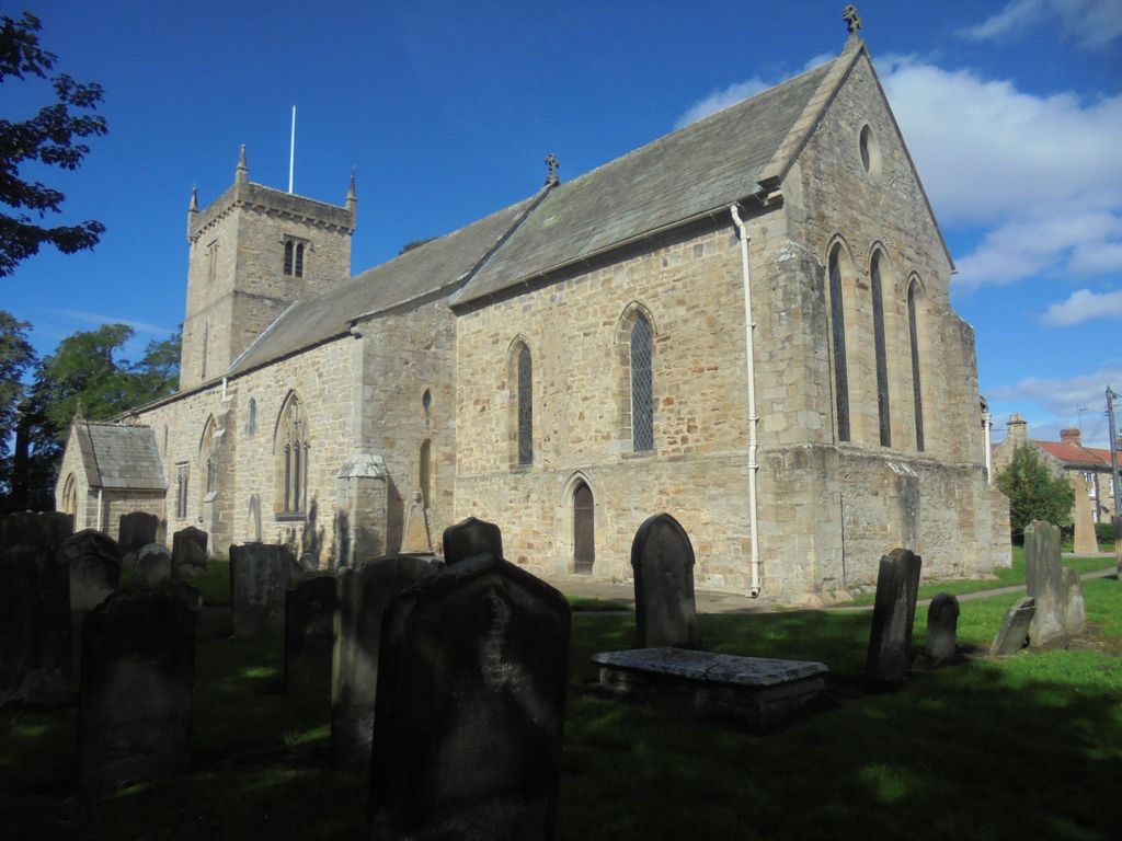
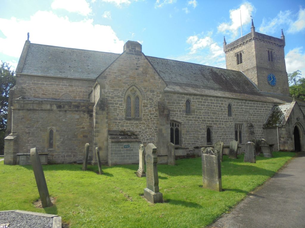
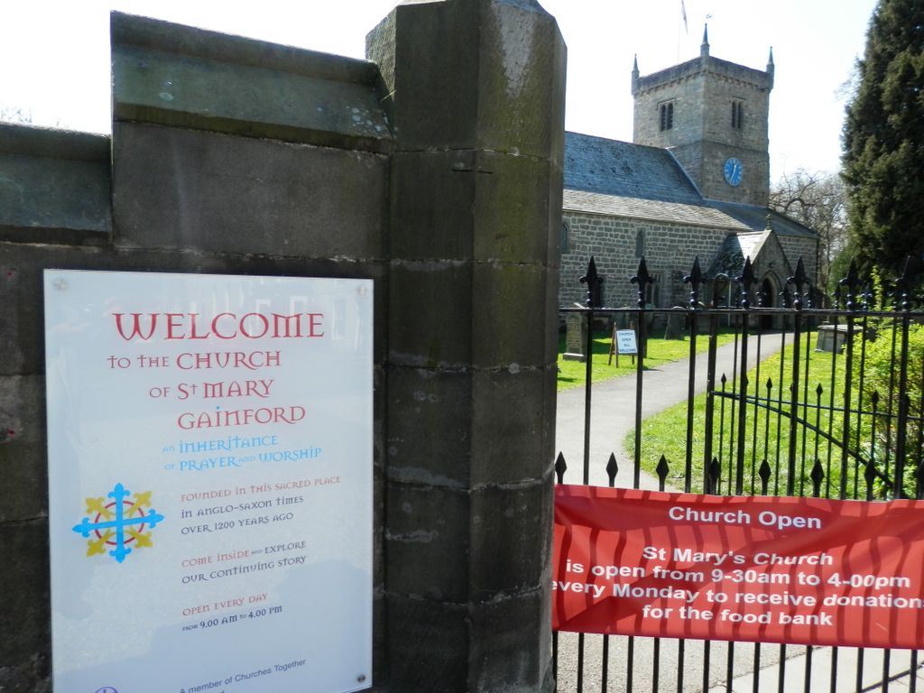
| Description | : | St. Mary's (C.of E.) church is the oldest building in Gainford. It was built in the 13th century by the Normans. St. Mary's is the mother church for a large parish, originally including Piercebridge. The parish church was the only place of worship in the village until 1834 when the Wesleyan Chapel was built. A Congregational church was founded in 1847, followed by a Roman Catholic church, Saint Osmund’s, in 1852. St Mary's Church stands at the south-west corner of the large village green of Gainford, on the north bank of the River Tees, about 12 km/8 miles... Read More |
frequently asked questions (FAQ):
-
Where is Saint Mary's Churchyard?
Saint Mary's Churchyard is located at Gainford, Durham Unitary Authority ,County Durham ,England.
-
Saint Mary's Churchyard cemetery's updated grave count on graveviews.com?
0 memorials
-
Where are the coordinates of the Saint Mary's Churchyard?
Latitude: 54.5453800
Longitude: -1.7389100
Nearby Cemetories:
1. Gainford Cemetery
Gainford, Durham Unitary Authority, England
Coordinate: 54.5441400, -1.7417800
2. St Osmund's Roman Catholic Churchyard
Gainford, Durham Unitary Authority, England
Coordinate: 54.5476300, -1.7359500
3. St. Hilda's Churchyard
Caldwell, Richmondshire District, England
Coordinate: 54.5156390, -1.7508220
4. St John the Evangelist Churchyard
Ingleton, Durham Unitary Authority, England
Coordinate: 54.5795310, -1.7326110
5. St. Mary's Churchyard
Piercebridge, Darlington Unitary Authority, England
Coordinate: 54.5366780, -1.6766370
6. St Cuthbert Churchyard
Forcett, Richmondshire District, England
Coordinate: 54.5051660, -1.7304510
7. St John the Baptist Churchyard
Stanwick St John, Richmondshire District, England
Coordinate: 54.5028550, -1.7155730
8. Saint Mary's Churchyard
Denton, Darlington Unitary Authority, England
Coordinate: 54.5647600, -1.6626300
9. St Edwin New Churchyard
High Coniscliffe, Darlington Unitary Authority, England
Coordinate: 54.5338700, -1.6554100
10. St. Edwin Churchyard
High Coniscliffe, Darlington Unitary Authority, England
Coordinate: 54.5322290, -1.6525190
11. Saint Mary’s Churchyard
Hutton Magna, Durham Unitary Authority, England
Coordinate: 54.5074500, -1.8060900
12. All Saints Churchyard
Manfield, Richmondshire District, England
Coordinate: 54.5154080, -1.6573120
13. St Mary the Virgin Churchyard
Cockfield, Durham Unitary Authority, England
Coordinate: 54.6131690, -1.8017530
14. St Peter Churchyard
Cleasby, Richmondshire District, England
Coordinate: 54.5123200, -1.6166600
15. Cockfield Cemetery
Cockfield, Durham Unitary Authority, England
Coordinate: 54.6156200, -1.8004200
16. St James the Great Churchyard
Melsonby, Richmondshire District, England
Coordinate: 54.4711100, -1.6916100
17. Evenwood Cemetery
Evenwood, Durham Unitary Authority, England
Coordinate: 54.6252441, -1.7635630
18. St Michael Churchyard
Heighington, Darlington Unitary Authority, England
Coordinate: 54.5956630, -1.6162350
19. St Cuthbert and St Mary Churchyard
Barton, Richmondshire District, England
Coordinate: 54.4754490, -1.6458250
20. Saint Mary's Churchyard
Rokeby, Durham Unitary Authority, England
Coordinate: 54.5193100, -1.8894300
21. Brignall Old Churchyard
Brignall, Durham Unitary Authority, England
Coordinate: 54.5051000, -1.8826400
22. Carmel House Convent
Darlington, Darlington Unitary Authority, England
Coordinate: 54.5274820, -1.5819650
23. Saint Clare's Abbey
Darlington, Darlington Unitary Authority, England
Coordinate: 54.5250393, -1.5810069
24. St Michael and All Angels Churchyard
Barningham, Durham Unitary Authority, England
Coordinate: 54.4895190, -1.8691942