
| Memorials | : | 0 |
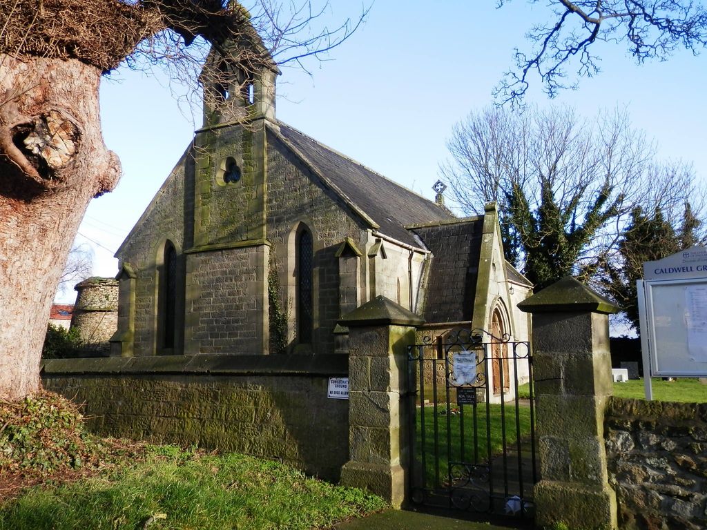
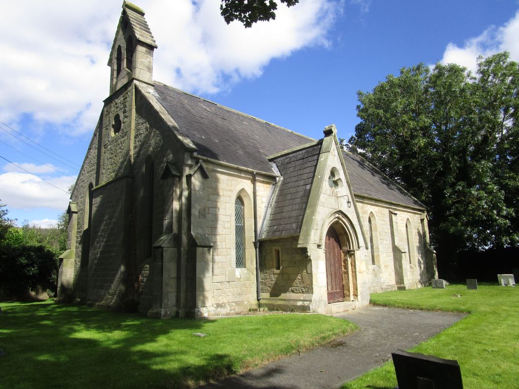
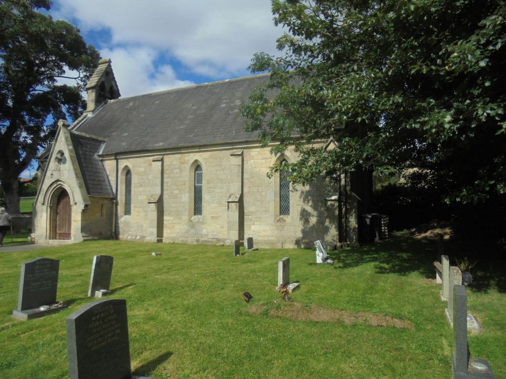
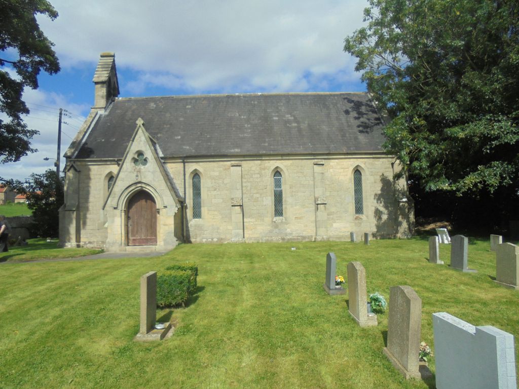
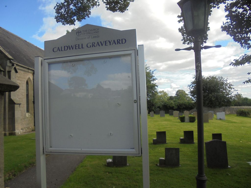
| Location | : | Caldwell, Richmondshire District, England |
| Coordinate | : | 54.5156390, -1.7508220 |
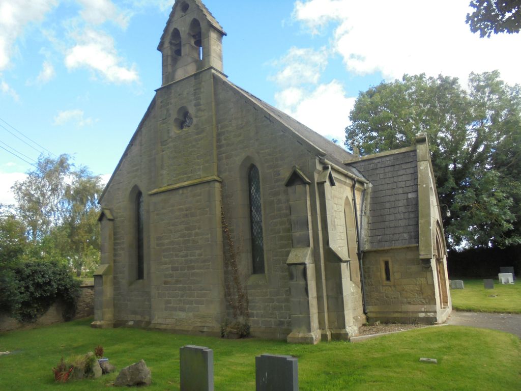
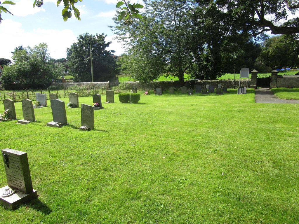
| Description | : | The chapel was closed to worship in 2016. The churchyard now serves as the main cemetery for Forcett parish. |
frequently asked questions (FAQ):
-
Where is St. Hilda's Churchyard?
St. Hilda's Churchyard is located at B6274 Caldwell, Richmondshire District ,North Yorkshire , DL11 7QDEngland.
-
St. Hilda's Churchyard cemetery's updated grave count on graveviews.com?
0 memorials
-
Where are the coordinates of the St. Hilda's Churchyard?
Latitude: 54.5156390
Longitude: -1.7508220


Nearby Cemetories:
1. St Cuthbert Churchyard
Forcett, Richmondshire District, England
Coordinate: 54.5051660, -1.7304510
2. St John the Baptist Churchyard
Stanwick St John, Richmondshire District, England
Coordinate: 54.5028550, -1.7155730
3. Gainford Cemetery
Gainford, Durham Unitary Authority, England
Coordinate: 54.5441400, -1.7417800
4. Saint Mary's Churchyard
Gainford, Durham Unitary Authority, England
Coordinate: 54.5453800, -1.7389100
5. Saint Mary’s Churchyard
Hutton Magna, Durham Unitary Authority, England
Coordinate: 54.5074500, -1.8060900
6. St Osmund's Roman Catholic Churchyard
Gainford, Durham Unitary Authority, England
Coordinate: 54.5476300, -1.7359500
7. St. Mary's Churchyard
Piercebridge, Darlington Unitary Authority, England
Coordinate: 54.5366780, -1.6766370
8. All Saints Churchyard
Manfield, Richmondshire District, England
Coordinate: 54.5154080, -1.6573120
9. St James the Great Churchyard
Melsonby, Richmondshire District, England
Coordinate: 54.4711100, -1.6916100
10. St Edwin New Churchyard
High Coniscliffe, Darlington Unitary Authority, England
Coordinate: 54.5338700, -1.6554100
11. St. Edwin Churchyard
High Coniscliffe, Darlington Unitary Authority, England
Coordinate: 54.5322290, -1.6525190
12. St. Peter and St. Felix Churchyard
Kirby Hill, Richmondshire District, England
Coordinate: 54.4546050, -1.7851500
13. St John the Evangelist Churchyard
Ingleton, Durham Unitary Authority, England
Coordinate: 54.5795310, -1.7326110
14. Saint Mary's Churchyard
Denton, Darlington Unitary Authority, England
Coordinate: 54.5647600, -1.6626300
15. St Cuthbert and St Mary Churchyard
Barton, Richmondshire District, England
Coordinate: 54.4754490, -1.6458250
16. St Michael and All Angels Churchyard
Barningham, Durham Unitary Authority, England
Coordinate: 54.4895190, -1.8691942
17. St. Agatha and St. Oswin Churchyard
Gilling West, Richmondshire District, England
Coordinate: 54.4414840, -1.7209980
18. Brignall Old Churchyard
Brignall, Durham Unitary Authority, England
Coordinate: 54.5051000, -1.8826400
19. St Peter Churchyard
Cleasby, Richmondshire District, England
Coordinate: 54.5123200, -1.6166600
20. Saint Mary's Churchyard
Rokeby, Durham Unitary Authority, England
Coordinate: 54.5193100, -1.8894300
21. Middleton Lodge Chapel
Middleton Tyas, Richmondshire District, England
Coordinate: 54.4562000, -1.6567000
22. St Mary's Churchyard
Brignall, Durham Unitary Authority, England
Coordinate: 54.5061090, -1.8896890
23. Eggleston Abbey
Barnard Castle, Durham Unitary Authority, England
Coordinate: 54.5311600, -1.9049600
24. St Michael and All Angels Churchyard
Middleton Tyas, Richmondshire District, England
Coordinate: 54.4451400, -1.6390500