
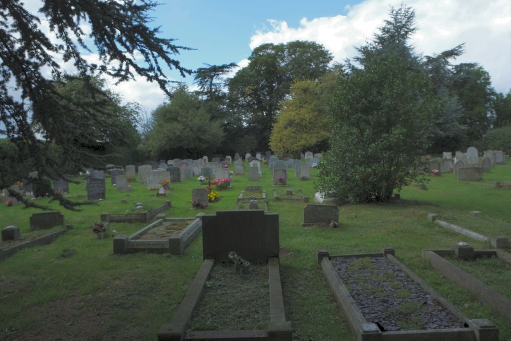
| Memorials | : | 0 |
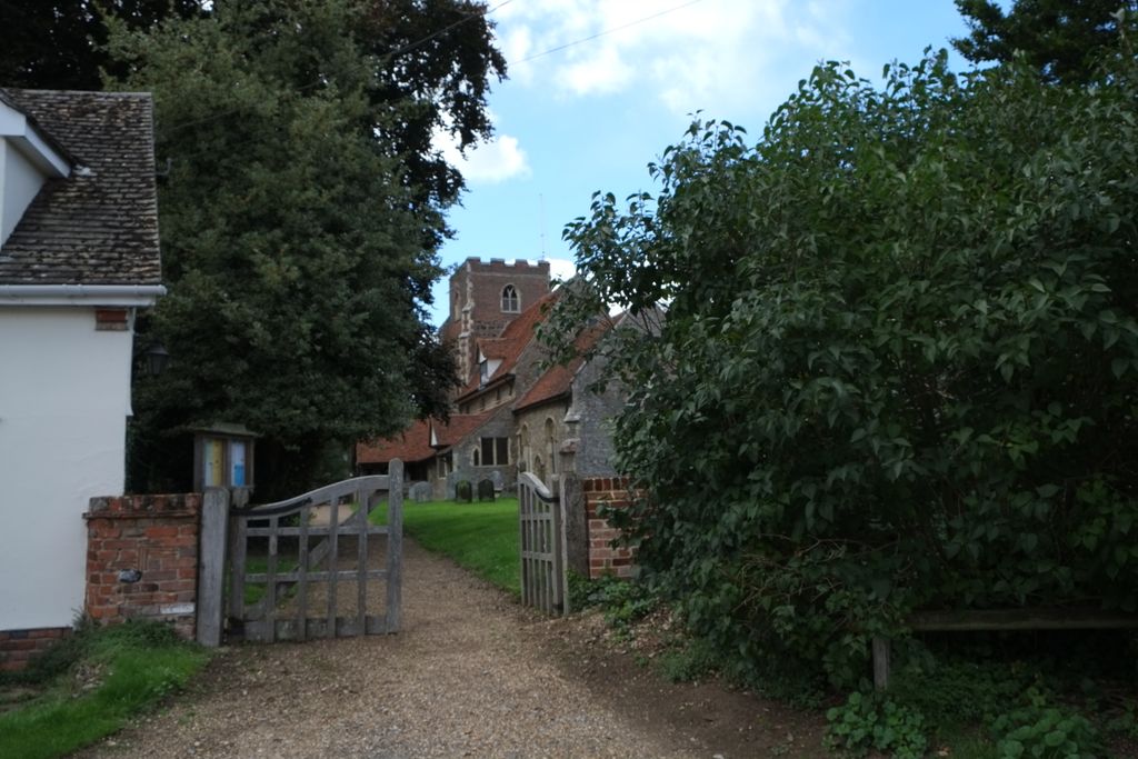
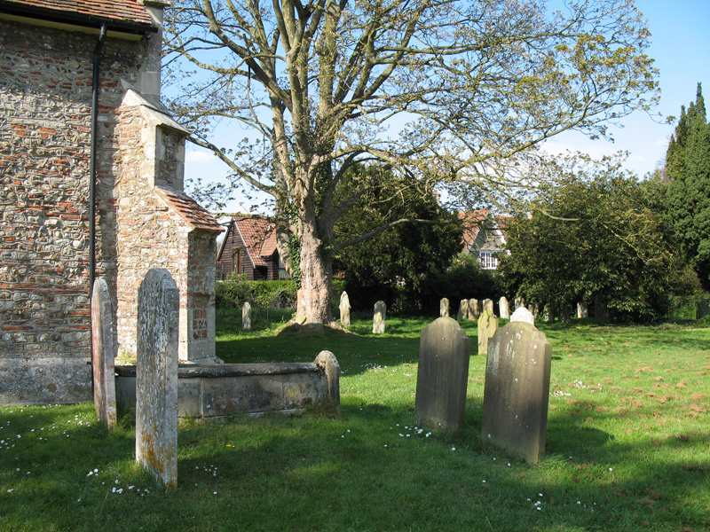
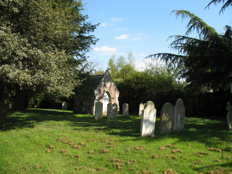
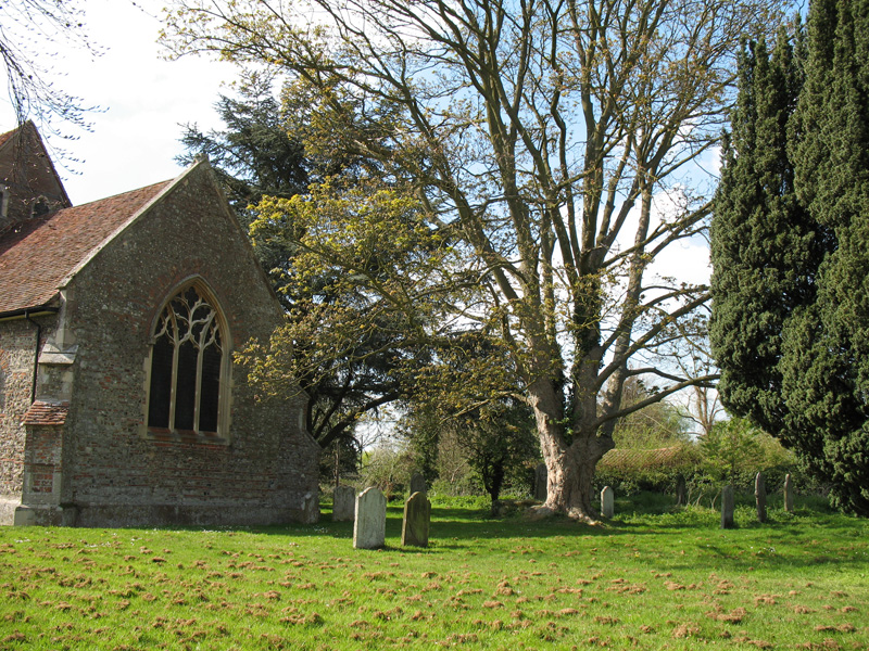
| Location | : | Boxted, Colchester Borough, England |
| Coordinate | : | 51.9617380, 0.9072480 |
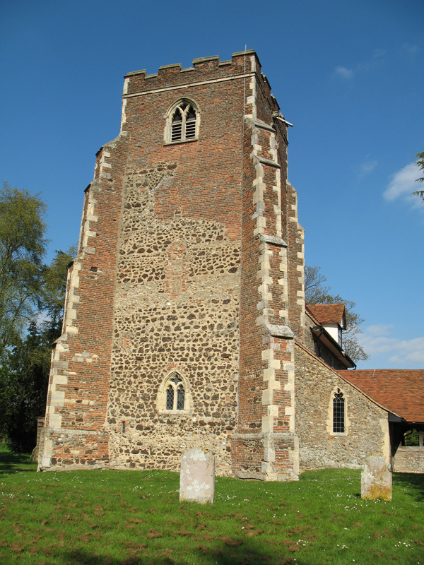
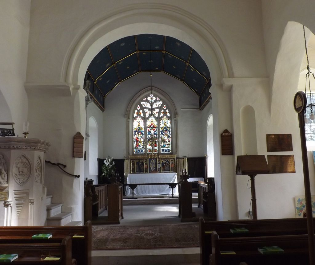
| Description | : | The original church was dedicated to St. Mary, and was changed to St. Peter after the Reformation. It was the Saxons who raised the first church on the site of St. Peter's Church today, just before the Norman Conquest. The church was completed sometime between 1090 and 1130, and consisted of the tower, nave and chancel built of rubble, puddingstone, and Roman bricks topped by a thatched roof. The North and South aisles were added in the 14th century. The upper part of the tower collapsed in the 1500s and was rebuilt with red bricks and buttresses, and topped with... Read More |
frequently asked questions (FAQ):
-
Where is Saint Peters Churchyard?
Saint Peters Churchyard is located at Boxted, Colchester Borough ,Essex ,England.
-
Saint Peters Churchyard cemetery's updated grave count on graveviews.com?
0 memorials
-
Where are the coordinates of the Saint Peters Churchyard?
Latitude: 51.9617380
Longitude: 0.9072480
Nearby Cemetories:
1. St. James' Churchyard
Nayland, Babergh District, England
Coordinate: 51.9715440, 0.8748140
2. All Saints Churchyard
Great Horkesley, Colchester Borough, England
Coordinate: 51.9550190, 0.8672580
3. Nayland Cemetery
Nayland, Babergh District, England
Coordinate: 51.9735000, 0.8677410
4. Saint Mary Churchyard
Stoke by Nayland, Babergh District, England
Coordinate: 51.9895000, 0.8925210
5. St Mary the Virgin Churchyard
Langham, Colchester Borough, England
Coordinate: 51.9644450, 0.9596300
6. St. Peter and St. Paul's Churchyard
Little Horkesley, Colchester Borough, England
Coordinate: 51.9516000, 0.8517000
7. Our Lady Immaculate Withermarsh Green
Stoke by Nayland, Babergh District, England
Coordinate: 51.9950800, 0.9326260
8. St Mary's Church Burial Ground
Higham, Forest Heath District, England
Coordinate: 51.9782680, 0.9626690
9. St. Mary the Virgin Churchyard
Wissington, Babergh District, England
Coordinate: 51.9634930, 0.8436940
10. St Mary Churchyard
Polstead, Babergh District, England
Coordinate: 52.0054860, 0.8964940
11. St Mary's Churchyard
Stratford St Mary, Babergh District, England
Coordinate: 51.9718250, 0.9862600
12. St Michael's churchyard
Colchester Borough, England
Coordinate: 51.9107874, 0.8918244
13. St. John Churchyard
Colchester, Colchester Borough, England
Coordinate: 51.9111950, 0.9285970
14. St. Mary the Virgin Churchyard
Dedham, Colchester Borough, England
Coordinate: 51.9586270, 0.9927610
15. St. Mary the Virgin Church
West Bergholt, Colchester Borough, England
Coordinate: 51.9143650, 0.8501530
16. St John's Abbey
Colchester, Colchester Borough, England
Coordinate: 51.9026780, 0.8978050
17. St Andrew Churchyard
Wormingford, Colchester Borough, England
Coordinate: 51.9551000, 0.8115000
18. West Bergholt Methodist Churchyard
West Bergholt, Colchester Borough, England
Coordinate: 51.9123993, 0.8507000
19. Ardleigh Cemetery
Ardleigh, Tendring District, England
Coordinate: 51.9263900, 0.9893000
20. East Bergholt Cemetery
East Bergholt, Babergh District, England
Coordinate: 51.9714670, 1.0086430
21. St. Mary's Churchyard
Holton St Mary, Babergh District, England
Coordinate: 51.9911800, 0.9982800
22. East Bergholt Congregational Churchyard
East Bergholt, Babergh District, England
Coordinate: 51.9716960, 1.0102980
23. St. Mary the Virgin Churchyard
East Bergholt, Babergh District, England
Coordinate: 51.9699760, 1.0125630
24. St. Mary Churchyard
Raydon, Babergh District, England
Coordinate: 52.0081090, 0.9847290