
| Memorials | : | 0 |
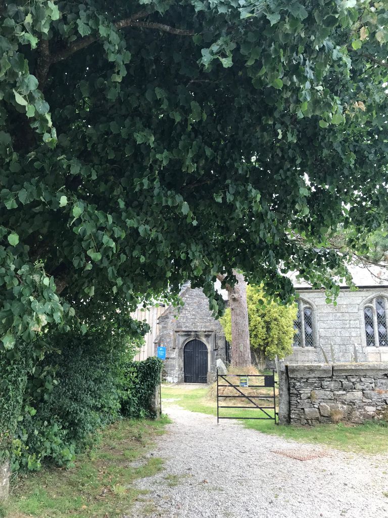
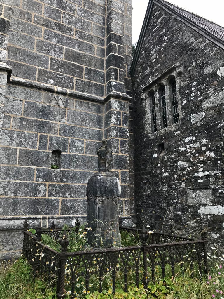
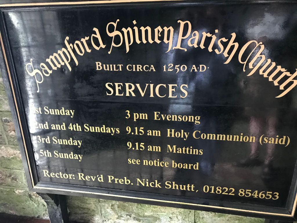
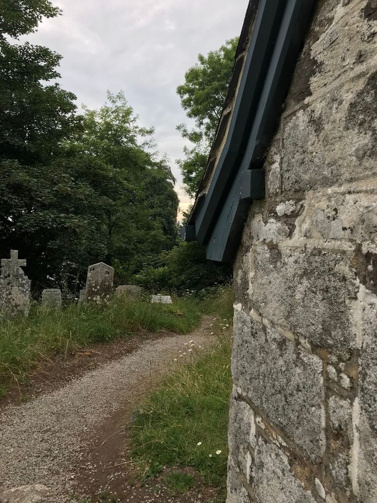
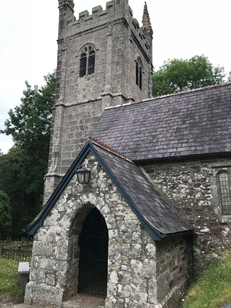
| Location | : | Sampford Spinney, West Devon Borough, England |
| Coordinate | : | 50.5336118, -4.0695917 |
frequently asked questions (FAQ):
-
Where is Sampford Spiney Parish Churchyard?
Sampford Spiney Parish Churchyard is located at Sampford Spinney, West Devon Borough ,Devon ,England.
-
Sampford Spiney Parish Churchyard cemetery's updated grave count on graveviews.com?
0 memorials
-
Where are the coordinates of the Sampford Spiney Parish Churchyard?
Latitude: 50.5336118
Longitude: -4.0695917
Nearby Cemetories:
1. St. Mary the Virgin Churchyard
Walkhampton, West Devon Borough, England
Coordinate: 50.5128201, -4.0652793
2. St. John the Baptist
Horrabridge, West Devon Borough, England
Coordinate: 50.5079900, -4.0992400
3. St. Andrew's Churchyard
Whitchurch, West Devon Borough, England
Coordinate: 50.5347576, -4.1278369
4. St. Michael's and All Angels Churchyard
Princetown, West Devon Borough, England
Coordinate: 50.5463500, -3.9956700
5. St. Leonard's Churchyard
Sheepstor, West Devon Borough, England
Coordinate: 50.4909720, -4.0314090
6. Tavistock Abbey
Tavistock, West Devon Borough, England
Coordinate: 50.5499060, -4.1442700
7. St. Eustachius Churchyard
Tavistock, West Devon Borough, England
Coordinate: 50.5498420, -4.1451830
8. St. Peter's Churchyard
Peter Tavy, West Devon Borough, England
Coordinate: 50.5803842, -4.1011284
9. Buckland Monachorum Village Cemetery
Buckland Monachorum, West Devon Borough, England
Coordinate: 50.4962980, -4.1305260
10. Saint Andrew's Churchyard
Buckland Monachorum, West Devon Borough, England
Coordinate: 50.4951167, -4.1302055
11. St. Mary's Churchyard
Mary Tavy, West Devon Borough, England
Coordinate: 50.5893371, -4.1073415
12. St. Paul Churchyard
Gulworthy, West Devon Borough, England
Coordinate: 50.5335800, -4.1918400
13. Lamerton Cemetery
Lamerton, West Devon Borough, England
Coordinate: 50.5736420, -4.1907340
14. St. Michael de Rupe Churchyard
Brentor, West Devon Borough, England
Coordinate: 50.6029880, -4.1621880
15. St. Mary's Churchyard
Bickleigh, South Hams District, England
Coordinate: 50.4420600, -4.0844100
16. St Andrew Churchyard
Calstock, Cornwall Unitary Authority, England
Coordinate: 50.5021270, -4.2062400
17. Christ Church
Brentor, West Devon Borough, England
Coordinate: 50.6124252, -4.1464026
18. Holy Trinity Churchyard
Bere Alston, West Devon Borough, England
Coordinate: 50.4789735, -4.1881879
19. Calstock Cemetery
Calstock, Cornwall Unitary Authority, England
Coordinate: 50.5021300, -4.2082100
20. Albaston Cemetery
Calstock, Cornwall Unitary Authority, England
Coordinate: 50.5133240, -4.2225080
21. St. Andrew's Churchyard
Bere Ferrers, West Devon Borough, England
Coordinate: 50.4505300, -4.1715320
22. St Mary's Church
Tamerton Foliot, Plymouth Unitary Authority, England
Coordinate: 50.4279200, -4.1582500
23. Postbridge Cemetery
Postbridge, West Devon Borough, England
Coordinate: 50.5953470, -3.9019270
24. St Mary
Sydenham Damerel, West Devon Borough, England
Coordinate: 50.5617270, -4.2604490