
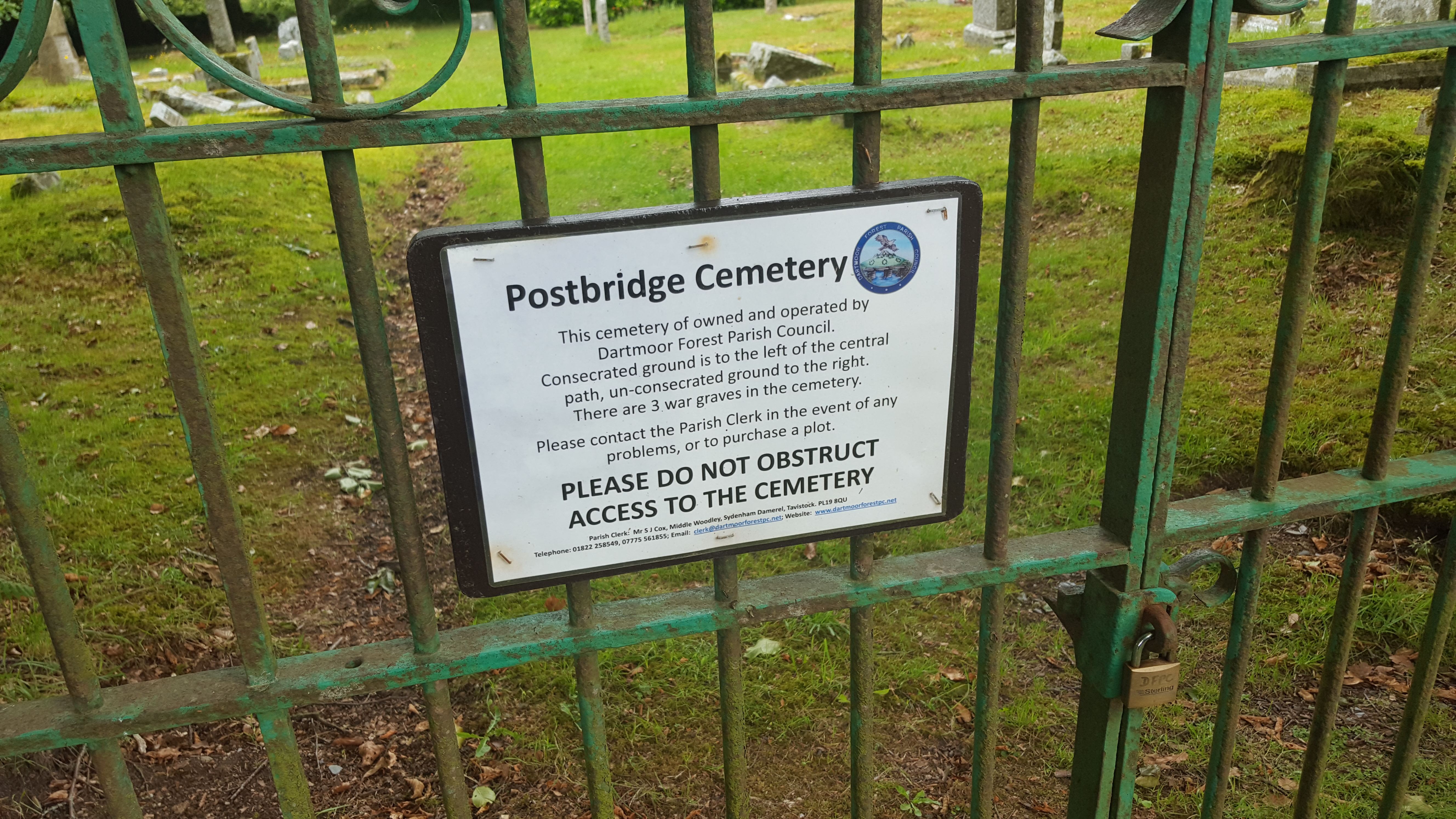
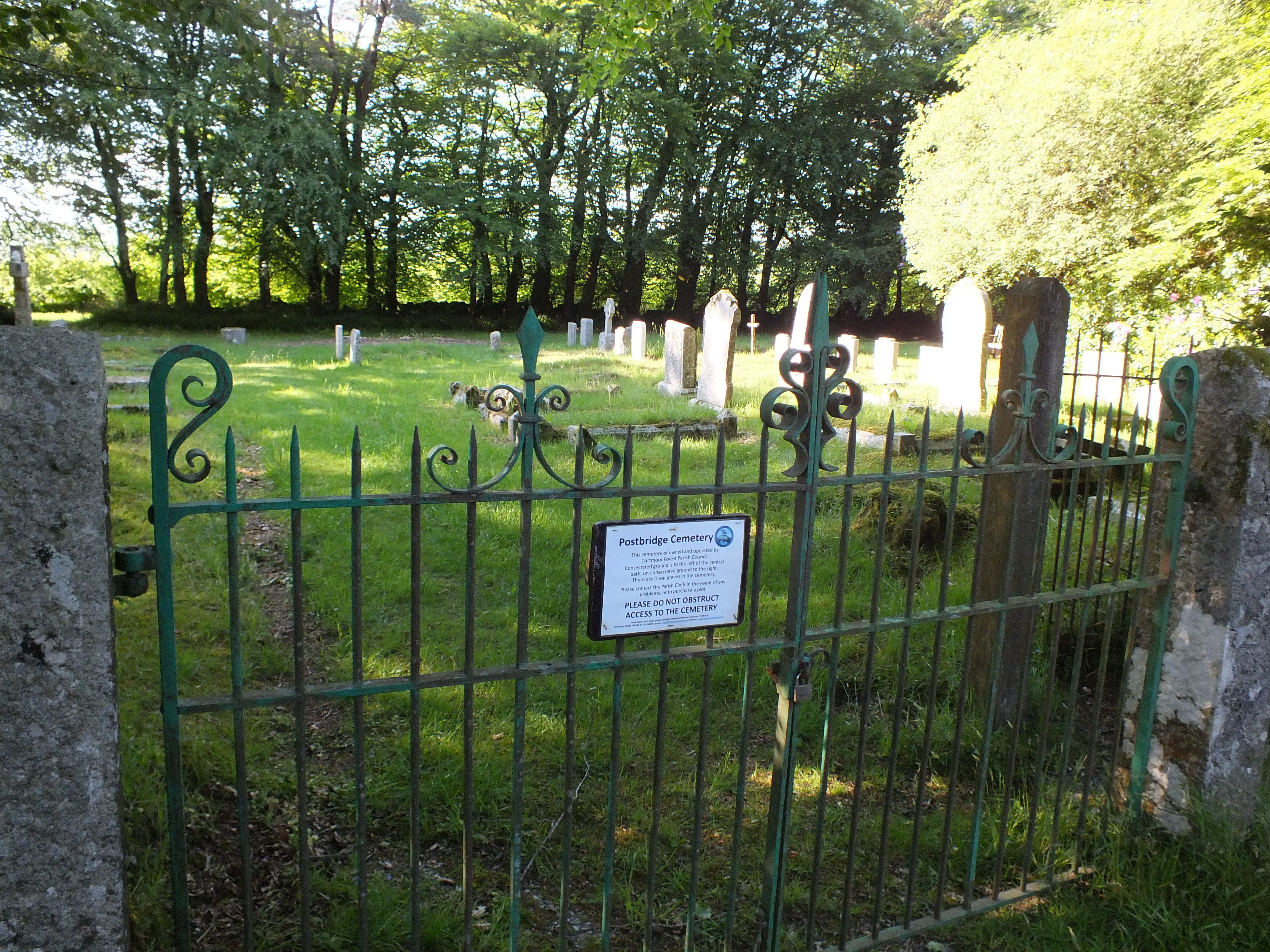
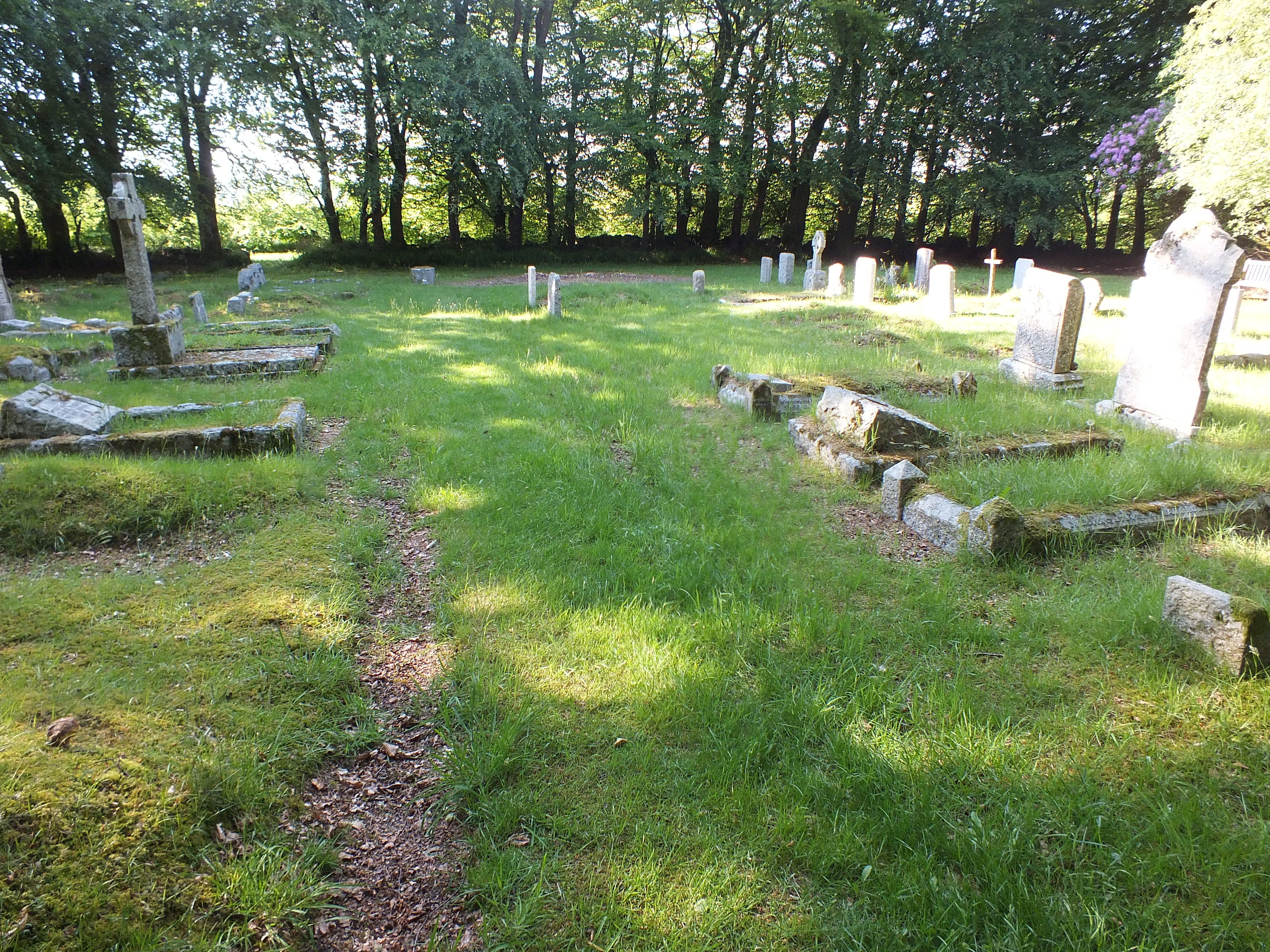
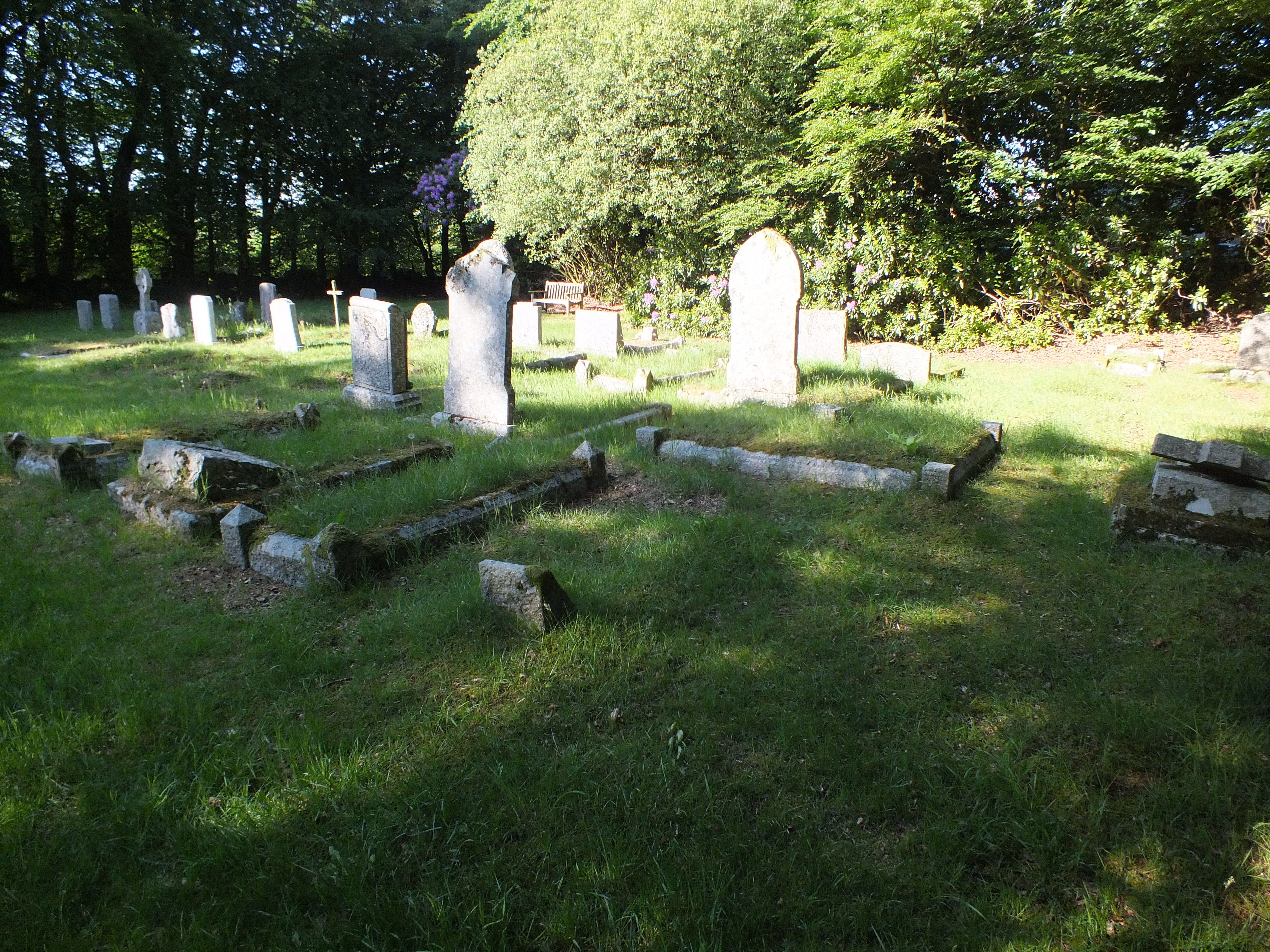
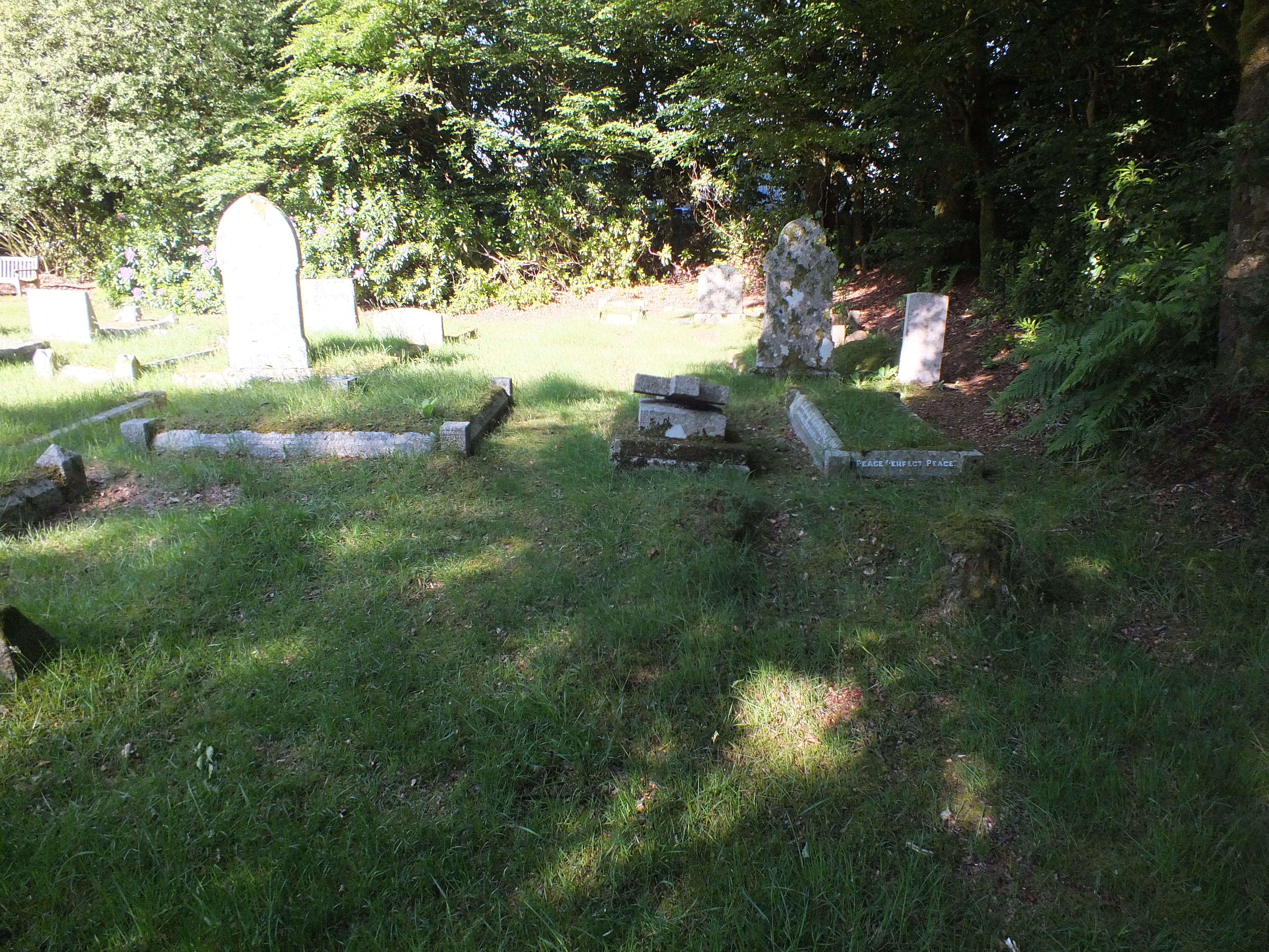
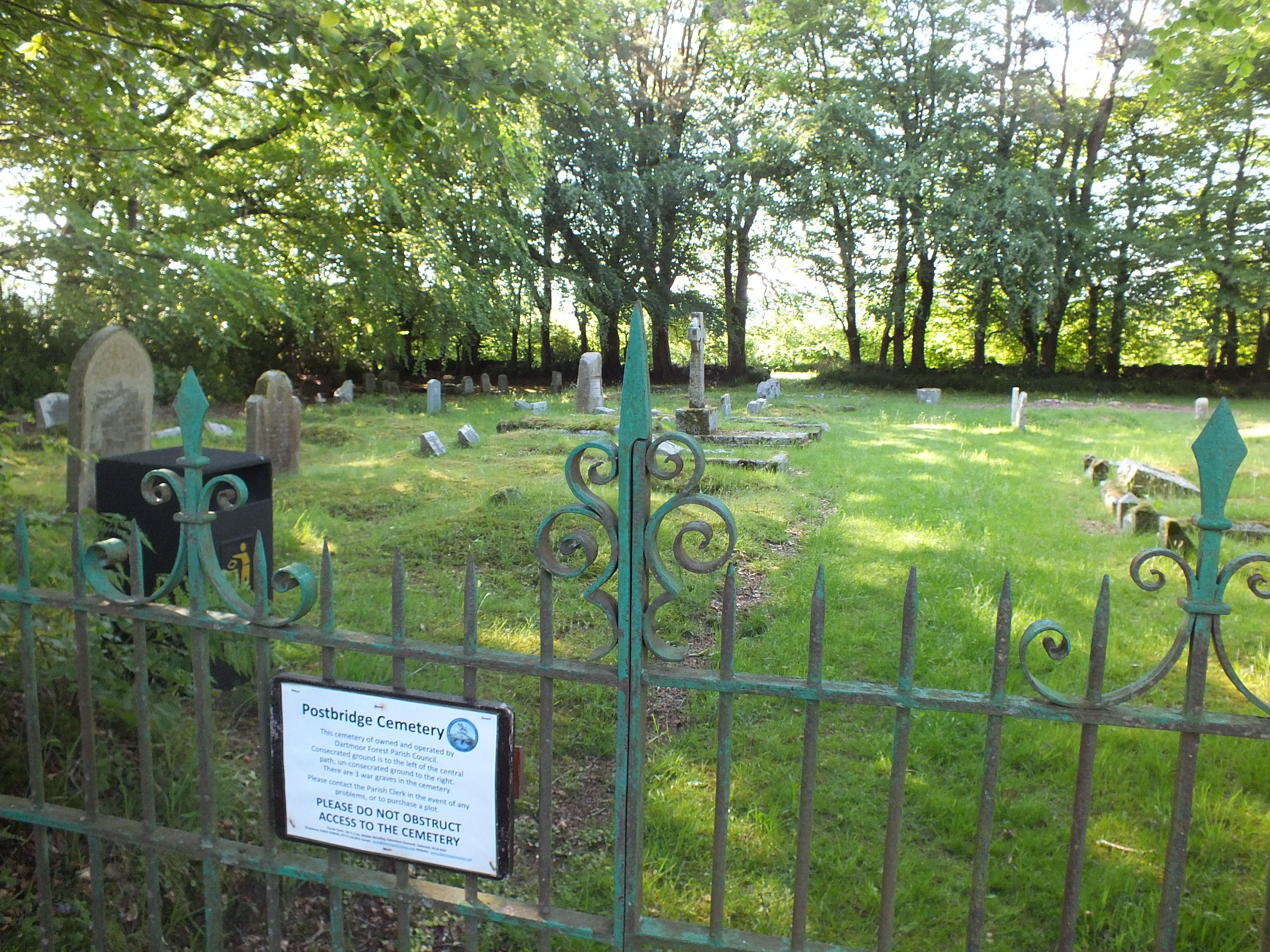
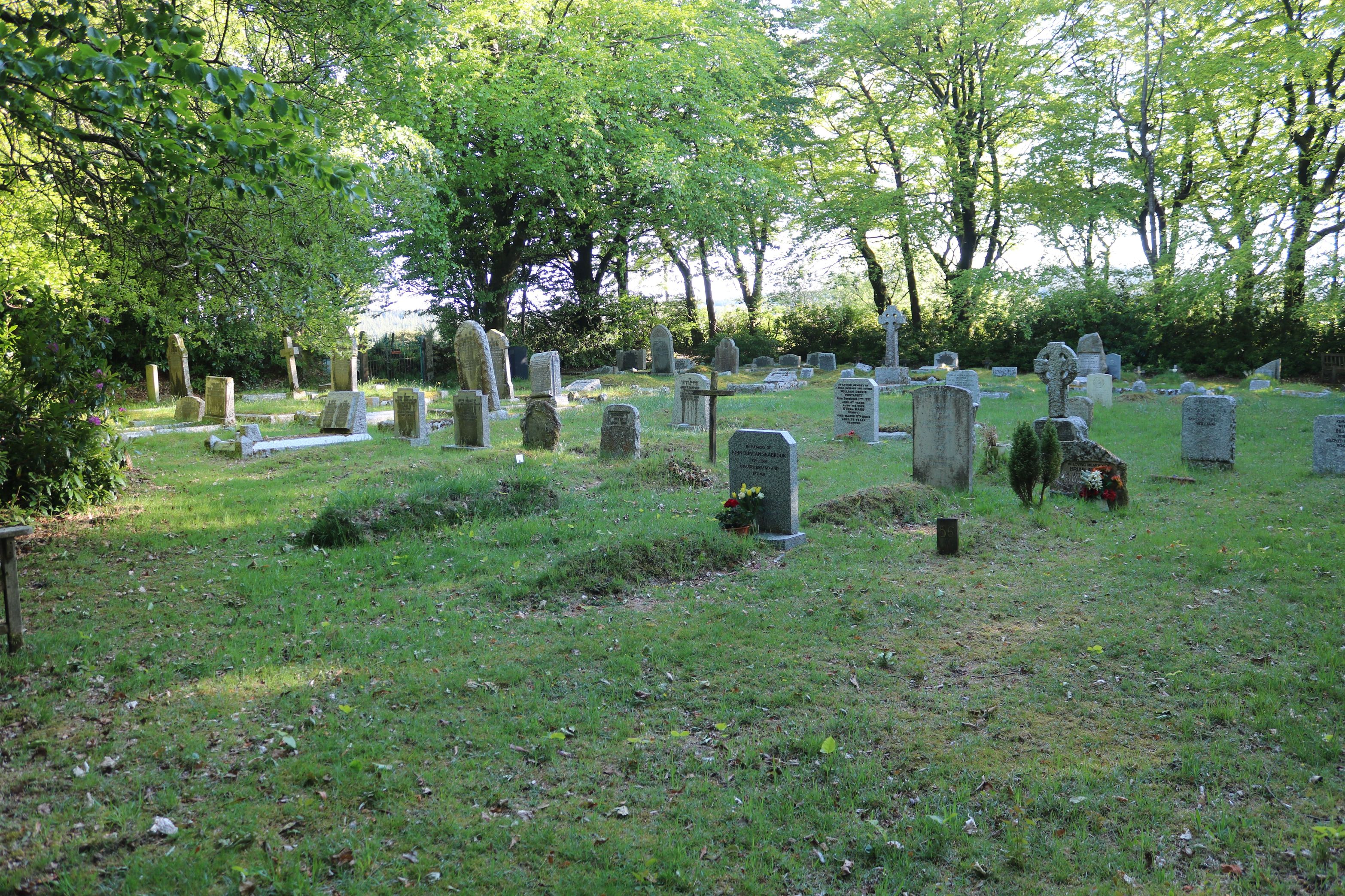
| Memorials | : | 224 |
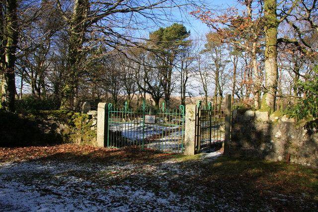
| Location | : | Postbridge, West Devon Borough, England |
| Coordinate | : | 50.5953470, -3.9019270 |
frequently asked questions (FAQ):
-
Where is Postbridge Cemetery?
Postbridge Cemetery is located at Postbridge, West Devon Borough ,Devon ,England.
-
Postbridge Cemetery cemetery's updated grave count on graveviews.com?
224 memorials
-
Where are the coordinates of the Postbridge Cemetery?
Latitude: 50.5953470
Longitude: -3.9019270
Nearby Cemetories:
1. St. Pancras Churchyard
Widecombe-in-the-Moor, Teignbridge District, England
Coordinate: 50.5767810, -3.8109650
2. St John the Baptist Churchyard. Leusdon
Newton Abbot, Teignbridge District, England
Coordinate: 50.5441200, -3.8228700
3. St. Michael's and All Angels Churchyard
Princetown, West Devon Borough, England
Coordinate: 50.5463500, -3.9956700
4. St. Peter's Churchyard
Buckland-in-the-Moor, Teignbridge District, England
Coordinate: 50.5441800, -3.8070600
5. St Michael the Archangel Churchyard
Chagford, West Devon Borough, England
Coordinate: 50.6724500, -3.8392600
6. St John the Baptist Churchyard
North Bovey, West Devon Borough, England
Coordinate: 50.6407600, -3.7835500
7. St. Mary the Virgin Churchyard
Holne, South Hams District, England
Coordinate: 50.5108540, -3.8266340
8. St. Andrew's Churchyard
Moretonhampstead, Teignbridge District, England
Coordinate: 50.6611600, -3.7625000
9. St. John the Baptist Churchyard
Lustleigh, Teignbridge District, England
Coordinate: 50.6183700, -3.7188600
10. Lustleigh Cemetery
Lustleigh, Teignbridge District, England
Coordinate: 50.6148900, -3.7172400
11. St Andrew Churchyard
Ashburton, Teignbridge District, England
Coordinate: 50.5144940, -3.7572150
12. Sampford Spiney Parish Churchyard
Sampford Spinney, West Devon Borough, England
Coordinate: 50.5336118, -4.0695917
13. Whiddon Down United Methodist Chapelyard
Whiddon Down, West Devon Borough, England
Coordinate: 50.7171800, -3.8562000
14. St. Peter's Churchyard
Peter Tavy, West Devon Borough, England
Coordinate: 50.5803842, -4.1011284
15. Holy Trinity Churchyard
Drewsteignton, West Devon Borough, England
Coordinate: 50.7035570, -3.7906940
16. St. Mary's Churchyard
Mary Tavy, West Devon Borough, England
Coordinate: 50.5893371, -4.1073415
17. Buckfast Abbey
Buckfastleigh, Teignbridge District, England
Coordinate: 50.4917800, -3.7767600
18. St. Mary the Virgin Churchyard
Walkhampton, West Devon Borough, England
Coordinate: 50.5128201, -4.0652793
19. St. Leonard's Churchyard
Sheepstor, West Devon Borough, England
Coordinate: 50.4909720, -4.0314090
20. Saint Mary the Virgin Churchyard
Belstone, West Devon Borough, England
Coordinate: 50.7246770, -3.9575320
21. Sticklepath Quaker Burying Ground
Sticklepath, West Devon Borough, England
Coordinate: 50.7302400, -3.9257800
22. Holy Trinity Churchyard
Buckfastleigh, Teignbridge District, England
Coordinate: 50.4852300, -3.7755900
23. St. Andrew's Churchyard
South Tawton, West Devon Borough, England
Coordinate: 50.7342012, -3.9103063
24. St Peter, St Paul & St Thomas of Canterbury
Bovey Tracey, Teignbridge District, England
Coordinate: 50.5950903, -3.6673713