
| Memorials | : | 2 |
| Location | : | Paradise Valley, Maricopa County, USA |
| Phone | : | 602-840-8210 |
| Coordinate | : | 33.5310200, -111.9943900 |
frequently asked questions (FAQ):
-
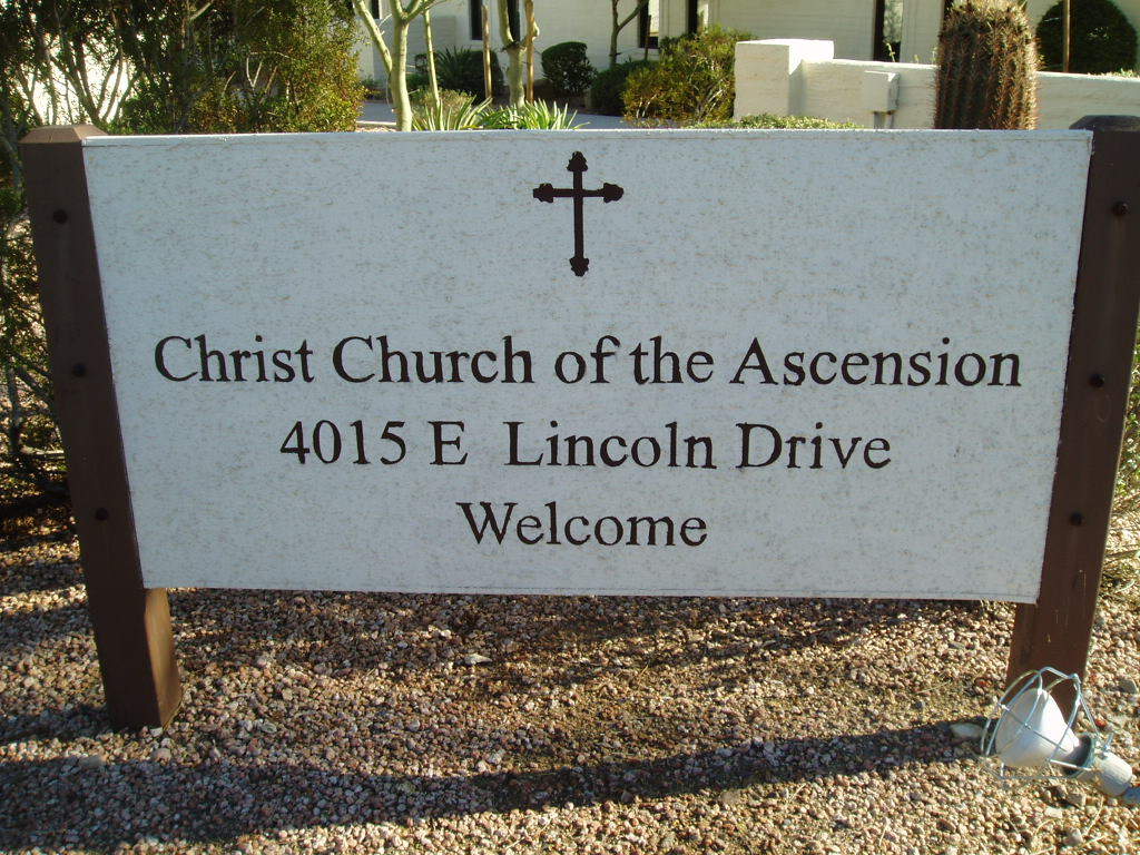
Where is Christ Church of the Ascension Memory Garden?
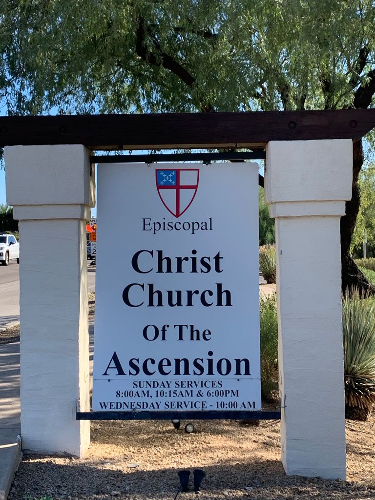
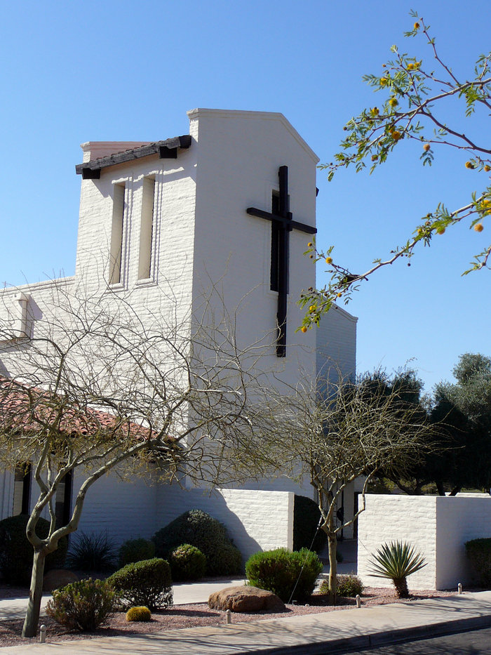
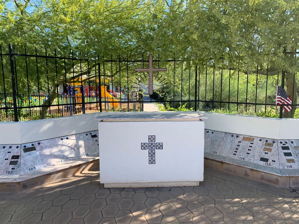
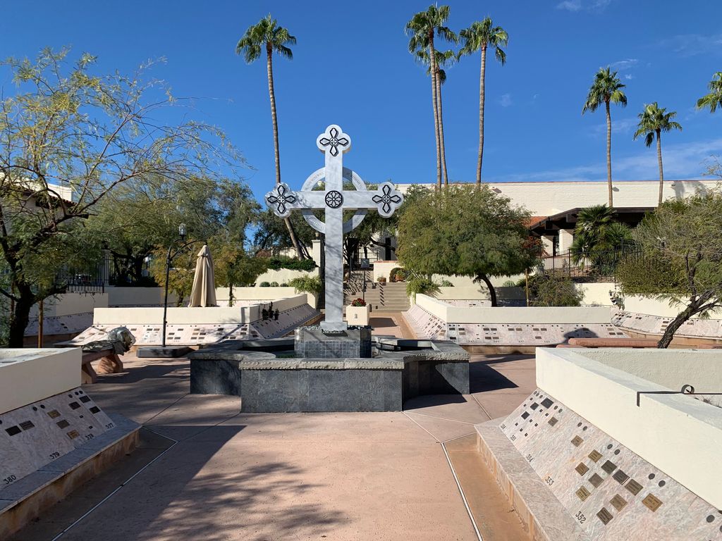
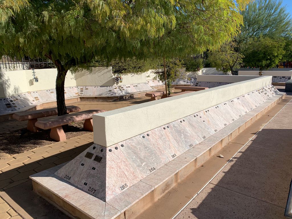
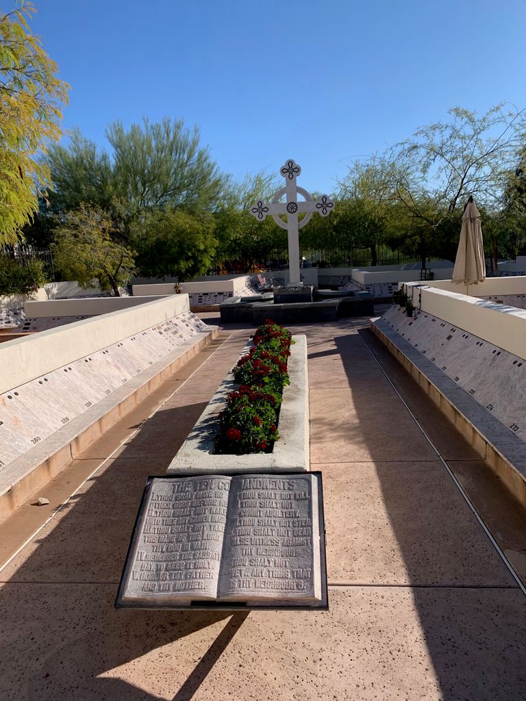
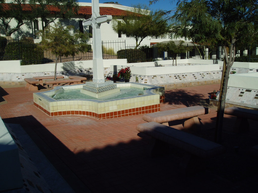
Christ Church of the Ascension Memory Garden is located at 4015 E Lincoln Drive Paradise Valley, Maricopa County ,Arizona , 85253USA.
-
Christ Church of the Ascension Memory Garden cemetery's updated grave count on graveviews.com?
2 memorials
-
Where are the coordinates of the Christ Church of the Ascension Memory Garden?
Latitude: 33.5310200
Longitude: -111.9943900
Nearby Cemetories:
1. Unitarian Universalist Congregation of Phoenix
Paradise Valley, Maricopa County, USA
Coordinate: 33.5313506, -111.9919749
2. Paradise Valley Methodist Church Columbarium
Paradise Valley, Maricopa County, USA
Coordinate: 33.5302000, -111.9852000
3. Shepherd of the Hills UCC Memorial Garden
Phoenix, Maricopa County, USA
Coordinate: 33.4950920, -111.9626900
4. Prince of Peace Lutheran Church Columbarium
Phoenix, Maricopa County, USA
Coordinate: 33.4909000, -111.9596330
5. Ascension Lutheran Church Memorial Garden
Paradise Valley, Maricopa County, USA
Coordinate: 33.5415180, -111.9350160
6. Saint Stephen's Catholic Church and Columbarium
Phoenix, Maricopa County, USA
Coordinate: 33.5563786, -112.0479130
7. Saint Barnabas on the Desert Memorial Garden
Paradise Valley, Maricopa County, USA
Coordinate: 33.5358000, -111.9330000
8. Camelback Cemetery
Paradise Valley, Maricopa County, USA
Coordinate: 33.5243900, -111.9328200
9. Valley Presbyterian Church Memorial Garden
Paradise Valley, Maricopa County, USA
Coordinate: 33.5219000, -111.9311000
10. Orangewood Presbyterian Church Memorial Gardens
Phoenix, Maricopa County, USA
Coordinate: 33.5442630, -112.0601860
11. Saint Francis Catholic Cemetery
Phoenix, Maricopa County, USA
Coordinate: 33.4733009, -111.9738998
12. Faith Lutheran Church Columbarium
Phoenix, Maricopa County, USA
Coordinate: 33.5088420, -112.0640250
13. Chaparral Christian Church Memorial Garden
Maricopa County, USA
Coordinate: 33.5809510, -111.9411110
14. All Saints Episcopal Church Cemetery
Phoenix, Maricopa County, USA
Coordinate: 33.5297000, -112.0746000
15. First United Methodist Church Columbarium
Phoenix, Maricopa County, USA
Coordinate: 33.5167465, -112.0740433
16. Scottsdale United Methodist Church Memorial Garden
Scottsdale, Maricopa County, USA
Coordinate: 33.4967330, -111.9183910
17. Church of the Beatitudes Columbarium
Phoenix, Maricopa County, USA
Coordinate: 33.5380000, -112.0815000
18. Cross Cut Cemetery
Phoenix, Maricopa County, USA
Coordinate: 33.4514370, -111.9794850
19. Shepherd of the Valley Lutheran Church
Phoenix, Maricopa County, USA
Coordinate: 33.5315580, -112.0914890
20. Arizona State Hospital Cemetery
Phoenix, Maricopa County, USA
Coordinate: 33.4525960, -112.0295240
21. North Scottsdale UMC Memorial Garden
Scottsdale, Maricopa County, USA
Coordinate: 33.5928700, -111.9256200
22. Trinity Lutheran Church Columbarium
Phoenix, Maricopa County, USA
Coordinate: 33.5723530, -112.0829490
23. Mountain View Presbyterian Church Memorial Garden
Scottsdale, Maricopa County, USA
Coordinate: 33.5755940, -111.9069290
24. Phoenix Zoo
Phoenix, Maricopa County, USA
Coordinate: 33.4501220, -111.9496530