
| Memorials | : | 44 |
| Location | : | Excelsior Springs, Ray County, USA |
| Coordinate | : | 39.2943993, -94.1977997 |
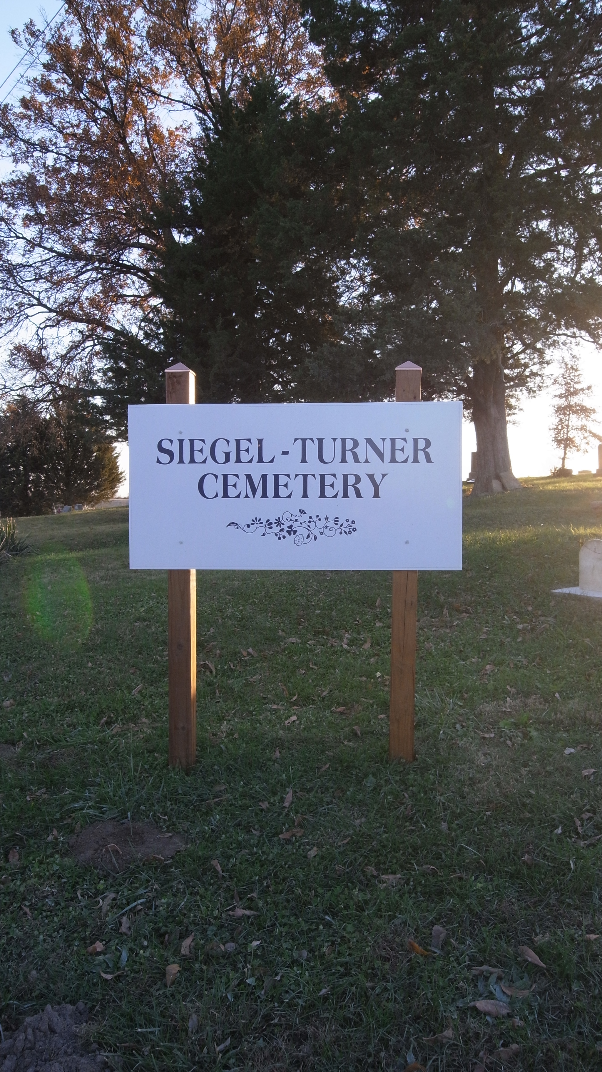
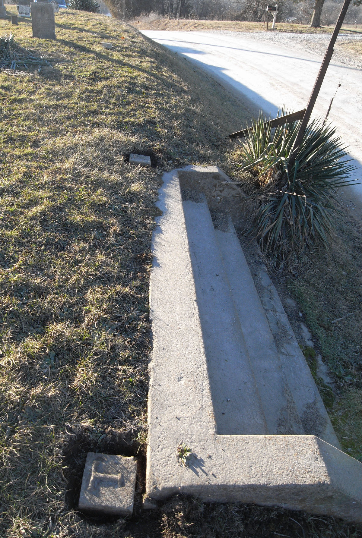
| Description | : | Fishing River Township. Well kept. Located on the corner of Siegel Cemetery RD and W 112th St. Southeast of Excelsior Springs on Siegel Cemetery Road. Cemetery began by John Turner on land granted to him by the US government in 1824. John and his wife Jane allowed relatives and neighbors to bury there. Following John's death in 1872, his son Thomas legally set aside the half-acre graveyard, before selling the surrounding property. It was again exempted in 1883, when Jacob Siegel purchased the adjoining 39.5 acres. In 1917 Jacob Siegel Plats an additional 42 lots to the West... Read More |
frequently asked questions (FAQ):
-
Where is Siegel Cemetery?
Siegel Cemetery is located at Excelsior Springs, Ray County ,Missouri ,USA.
-
Siegel Cemetery cemetery's updated grave count on graveviews.com?
44 memorials
-
Where are the coordinates of the Siegel Cemetery?
Latitude: 39.2943993
Longitude: -94.1977997
Nearby Cemetories:
1. Enon Cemetery
Excelsior Springs, Clay County, USA
Coordinate: 39.2958984, -94.2221985
2. Bogart Family Cemetery
Ray County, USA
Coordinate: 39.2644400, -94.1777800
3. Old New Garden Primitive Baptist Cemetery
Wood Heights, Ray County, USA
Coordinate: 39.3227005, -94.1669006
4. North New Garden Primitive Baptist Church Cemetery
Wood Heights, Ray County, USA
Coordinate: 39.3271027, -94.1648026
5. Elitzer Cemetery
Miltondale, Clay County, USA
Coordinate: 39.2595640, -94.2289210
6. Union Baptist Cemetery
Orrick, Ray County, USA
Coordinate: 39.2507133, -94.1969070
7. Cox Cemetery
Wood Heights, Ray County, USA
Coordinate: 39.3368988, -94.1819000
8. Pisgah Cemetery
Wood Heights, Ray County, USA
Coordinate: 39.3376846, -94.1775055
9. O'Dell Cemetery
Excelsior Springs, Ray County, USA
Coordinate: 39.2995987, -94.1346970
10. Moore Cemetery
Excelsior Springs, Clay County, USA
Coordinate: 39.2696991, -94.2530975
11. Scott Cemetery
Clay County, USA
Coordinate: 39.2708015, -94.2538986
12. Old Allen Cemetery
Ray County, USA
Coordinate: 39.2433281, -94.1977005
13. Rowland Cemetery
Ray County, USA
Coordinate: 39.2694016, -94.1389008
14. Elmwood Cemetery
Excelsior Springs, Clay County, USA
Coordinate: 39.3353004, -94.2485962
15. Riffe Cemetery
Orrick, Ray County, USA
Coordinate: 39.2514000, -94.1492004
16. Rock Falls Church Cemetery
Elkhorn, Ray County, USA
Coordinate: 39.2893500, -94.1221800
17. Windy Hill Cemetery
Wood Heights, Ray County, USA
Coordinate: 39.3407364, -94.1462250
18. McKee-Moore Cemetery
Clay County, USA
Coordinate: 39.3315630, -94.2608620
19. Masonic Cemetery
Excelsior Springs, Clay County, USA
Coordinate: 39.3432655, -94.2482910
20. Crown Hill Cemetery
Excelsior Springs, Clay County, USA
Coordinate: 39.3446999, -94.2474976
21. Welton Cemetery
Clay County, USA
Coordinate: 39.3292800, -94.2663300
22. Hamers Farm Cemetery
Ray County, USA
Coordinate: 39.3560400, -94.1762900
23. Hillcrest Cemetery
Excelsior Springs, Clay County, USA
Coordinate: 39.3358002, -94.2619019
24. John Cleavenger Cemetery
Crystal Lakes, Ray County, USA
Coordinate: 39.3551407, -94.1542053