
| Memorials | : | 0 |
| Location | : | Southhaven, DeSoto County, USA |
| Coordinate | : | 34.9203610, -89.9195120 |
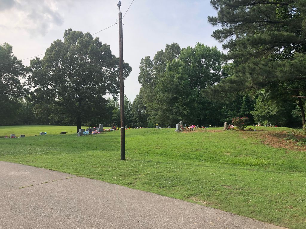
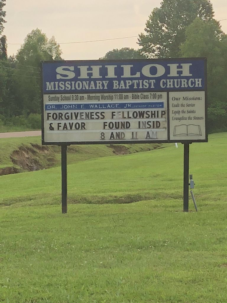
| Description | : | From the intersection of College Rd. & Getwell, south of Southaven, travel east on College Rd. for 1.0 mi., turning north into the parking lot of the Shiloh MB Church & to the cemetery on the north side of the building. |
frequently asked questions (FAQ):
-
Where is Shiloh MB Church Cemetery?
Shiloh MB Church Cemetery is located at 3960 College Rd Southhaven, DeSoto County ,Mississippi , 38672USA.
-
Shiloh MB Church Cemetery cemetery's updated grave count on graveviews.com?
0 memorials
-
Where are the coordinates of the Shiloh MB Church Cemetery?
Latitude: 34.9203610
Longitude: -89.9195120
Nearby Cemetories:
1. Bridgforth Family Cemetery #1
Southhaven, DeSoto County, USA
Coordinate: 34.9106680, -89.9289170
2. Pleasant Hill Community Cemetery
Pleasant Hill, DeSoto County, USA
Coordinate: 34.9184340, -89.8873670
3. New Jeremiah #2 Memorial Garden
Pleasant Hill (Frees Corners), DeSoto County, USA
Coordinate: 34.9182330, -89.8841640
4. Mount Olive CME Church Cemetery
Nesbit, DeSoto County, USA
Coordinate: 34.8889750, -89.9375850
5. Saint Matthews Cemetery
Pleasant Hill, DeSoto County, USA
Coordinate: 34.8940840, -89.8864740
6. New Hope Baptist Church Cemetery
Southaven, DeSoto County, USA
Coordinate: 34.9322450, -89.9663540
7. Baker Family Cemetery
Pleasant Hill, DeSoto County, USA
Coordinate: 34.8793600, -89.9146300
8. Bridgforth Cemetery #2
Pleasant Hill, DeSoto County, USA
Coordinate: 34.8828770, -89.9420470
9. Autumn Woods Memorial Park
Olive Branch, DeSoto County, USA
Coordinate: 34.9502460, -89.8824450
10. Jeremiah Church Cemetery
Olive Branch, DeSoto County, USA
Coordinate: 34.9619870, -89.9006690
11. Saint Paul Missionary Baptist Church Cemetery
Olive Branch, DeSoto County, USA
Coordinate: 34.9636130, -89.9017180
12. Avery Chapel Cemetery
Southaven, DeSoto County, USA
Coordinate: 34.9331550, -89.9755330
13. Johnston Family Cemetery
Nesbit, DeSoto County, USA
Coordinate: 34.8726210, -89.9128810
14. Windstone Cemetery
Olive Branch, DeSoto County, USA
Coordinate: 34.9693360, -89.9086930
15. James Owen Gravesite
Olive Branch, DeSoto County, USA
Coordinate: 34.9580000, -89.8794000
16. DeSoto Memorial Gardens
Southhaven, DeSoto County, USA
Coordinate: 34.9062800, -89.9784010
17. Slaughter Cemetery
Southaven, DeSoto County, USA
Coordinate: 34.9117790, -89.9874530
18. Christian Church Cemetery
Hernando, DeSoto County, USA
Coordinate: 34.8608930, -89.9374030
19. Saint Timothy Episcopal Columbarium Gardens
Southaven, DeSoto County, USA
Coordinate: 34.9803500, -89.9377200
20. Center Chapel Cemetery
Shelby County, USA
Coordinate: 34.9590000, -89.8580000
21. Bass Family Cemetery
Olive Branch, DeSoto County, USA
Coordinate: 34.9398520, -89.8456470
22. Greenview Memorial Gardens
Hernando, DeSoto County, USA
Coordinate: 34.8974920, -89.9981140
23. Oak Grove M.B. Church Cemetery
Nesbit, DeSoto County, USA
Coordinate: 34.8974750, -89.9982130
24. Twin Oaks Memorial Gardens
Southaven, DeSoto County, USA
Coordinate: 34.9645790, -89.9849180