| Memorials | : | 5 |
| Location | : | Wendell, Franklin County, USA |
| Coordinate | : | 42.5452500, -72.3628000 |
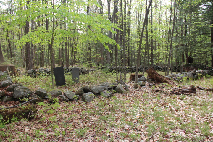
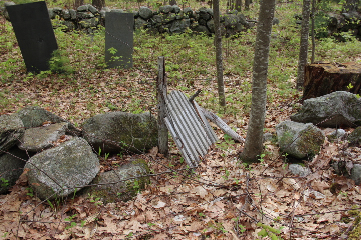
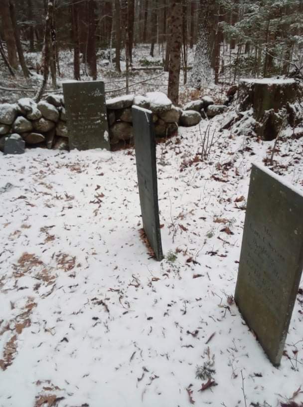
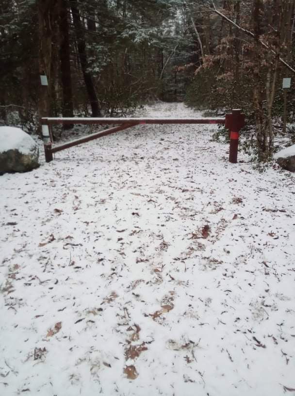
| Description | : | The Massachusetts Historical Commission refers to this cemetery in MACRIS as WEN804. Morse Village Road is discontinued and gated on the east end. Best way to this cemetery is go to Morse Village Road on New Salem, drive to the gate, park and walk. It is about 0.31 miles in on the left. The walk from the Wendell end is much farther. |
frequently asked questions (FAQ):
-
Where is Smallpox Cemetery?
Smallpox Cemetery is located at Morse Village Road Wendell, Franklin County ,Massachusetts ,USA.
-
Smallpox Cemetery cemetery's updated grave count on graveviews.com?
5 memorials
-
Where are the coordinates of the Smallpox Cemetery?
Latitude: 42.5452500
Longitude: -72.3628000
Nearby Cemetories:
1. Wendell Center Cemetery
Wendell, Franklin County, USA
Coordinate: 42.5485400, -72.3962400
2. Wilber Cemetery
New Salem, Franklin County, USA
Coordinate: 42.5254870, -72.3394830
3. North New Salem Cemetery
New Salem, Franklin County, USA
Coordinate: 42.5467700, -72.3164700
4. Osgood Brook Cemetery
Wendell, Franklin County, USA
Coordinate: 42.5777300, -72.3786600
5. Holtshire Cemetery
Orange, Franklin County, USA
Coordinate: 42.5696300, -72.3296100
6. South Cemetery
Orange, Franklin County, USA
Coordinate: 42.5657880, -72.3043410
7. Center Cemetery
New Salem, Franklin County, USA
Coordinate: 42.5003360, -72.3312240
8. South Cemetery
Wendell, Franklin County, USA
Coordinate: 42.5092000, -72.4206000
9. Orange Cemetery
Orange, Franklin County, USA
Coordinate: 42.6003740, -72.3449840
10. Central Cemetery
Orange, Franklin County, USA
Coordinate: 42.5932960, -72.3066420
11. Erving Center Cemetery
Erving, Franklin County, USA
Coordinate: 42.6033300, -72.4056800
12. Branch Bridge Cemetery
New Salem, Franklin County, USA
Coordinate: 42.5337500, -72.2743640
13. Locks Village Cemetery
Shutesbury, Franklin County, USA
Coordinate: 42.5010200, -72.4364000
14. Diemand Family Cemetery
Wendell, Franklin County, USA
Coordinate: 42.5769900, -72.4520600
15. Dry Hill Cemetery
Montague, Franklin County, USA
Coordinate: 42.5558300, -72.4647600
16. Gardner Cemetery
Leverett, Franklin County, USA
Coordinate: 42.5036011, -72.4574966
17. Holton Cemetery
Erving, Franklin County, USA
Coordinate: 42.5799500, -72.4634600
18. Gethsemane Cemetery
Athol, Worcester County, USA
Coordinate: 42.5791960, -72.2578310
19. Patrick Cemetery
Leverett, Franklin County, USA
Coordinate: 42.4995800, -72.4619500
20. Mountain View Cemetery
New Salem, Franklin County, USA
Coordinate: 42.4561005, -72.3443985
21. Chestnut Hill Cemetery
Montague, Franklin County, USA
Coordinate: 42.5228004, -72.4822006
22. Fay Cemetery
Athol, Worcester County, USA
Coordinate: 42.5466300, -72.2364200
23. Plain View Cemetery
Leverett, Franklin County, USA
Coordinate: 42.4972100, -72.4751900
24. Jones Cemetery
Orange, Franklin County, USA
Coordinate: 42.6148224, -72.2728806


