
| Memorials | : | 5 |
| Location | : | Montague, Franklin County, USA |
| Coordinate | : | 42.5558300, -72.4647600 |
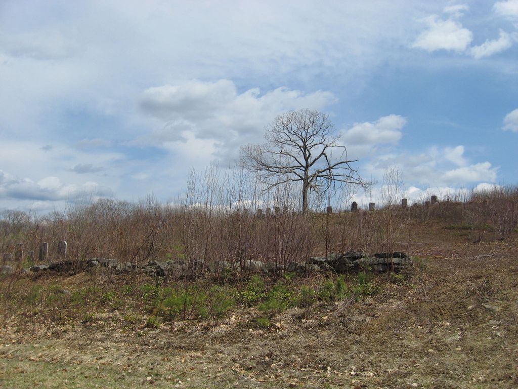
| Description | : | This is a town-owned cemetery. The Town of Montague refers to this cemetery in MassGIS as Parcel ID: 46-027. The Massachusetts Historical Commission does not refer to this cemetery in MACRIS. This burial place is referenced to in the book "Vital Records of Montague, Massachusetts to the end of the year 1849" as G.R.5. |
frequently asked questions (FAQ):
-
Where is Dry Hill Cemetery?
Dry Hill Cemetery is located at off Wendell Road Montague, Franklin County ,Massachusetts ,USA.
-
Dry Hill Cemetery cemetery's updated grave count on graveviews.com?
5 memorials
-
Where are the coordinates of the Dry Hill Cemetery?
Latitude: 42.5558300
Longitude: -72.4647600
Nearby Cemetories:
1. Diemand Family Cemetery
Wendell, Franklin County, USA
Coordinate: 42.5769900, -72.4520600
2. Holton Cemetery
Erving, Franklin County, USA
Coordinate: 42.5799500, -72.4634600
3. Town Cemetery
Montague, Franklin County, USA
Coordinate: 42.5595000, -72.5070200
4. Chestnut Hill Cemetery
Montague, Franklin County, USA
Coordinate: 42.5228004, -72.4822006
5. Highland Cemetery
Montague, Franklin County, USA
Coordinate: 42.5778008, -72.5083008
6. East Mineral Road Cemetery
Montague, Franklin County, USA
Coordinate: 42.5810500, -72.5086300
7. Mount Hope Cemetery
Leverett, Franklin County, USA
Coordinate: 42.5111008, -72.4906006
8. Wendell Center Cemetery
Wendell, Franklin County, USA
Coordinate: 42.5485400, -72.3962400
9. Gardner Cemetery
Leverett, Franklin County, USA
Coordinate: 42.5036011, -72.4574966
10. Durkee Burial Lot
Northfield, Franklin County, USA
Coordinate: 42.6070000, -72.4861000
11. Elm Grove Cemetery
Montague, Franklin County, USA
Coordinate: 42.5418600, -72.5359000
12. Locust Hill Cemetery
Montague, Franklin County, USA
Coordinate: 42.5394700, -72.5363400
13. Patrick Cemetery
Leverett, Franklin County, USA
Coordinate: 42.4995800, -72.4619500
14. South Cemetery
Wendell, Franklin County, USA
Coordinate: 42.5092000, -72.4206000
15. Northfield Farms Cemetery
Northfield, Franklin County, USA
Coordinate: 42.6124992, -72.4741974
16. Locks Village Cemetery
Shutesbury, Franklin County, USA
Coordinate: 42.5010200, -72.4364000
17. Plain View Cemetery
Leverett, Franklin County, USA
Coordinate: 42.4972100, -72.4751900
18. Jackson Hill Cemetery
Leverett, Franklin County, USA
Coordinate: 42.5028000, -72.5028000
19. Marvell Cemetery
Leverett, Franklin County, USA
Coordinate: 42.5028000, -72.5042038
20. Old South Cemetery
Montague, Franklin County, USA
Coordinate: 42.5232500, -72.5360300
21. Moores Corner Cemetery
Leverett, Franklin County, USA
Coordinate: 42.4924200, -72.4730700
22. Erving Center Cemetery
Erving, Franklin County, USA
Coordinate: 42.6033300, -72.4056800
23. Aaron Clark Memorial Cemetery
Montague, Franklin County, USA
Coordinate: 42.5836200, -72.5471600
24. Our Lady of Czestochowa Cemetery
Montague, Franklin County, USA
Coordinate: 42.5846000, -72.5469400