
| Memorials | : | 671 |
| Location | : | Wendell, Franklin County, USA |
| Coordinate | : | 42.5485400, -72.3962400 |
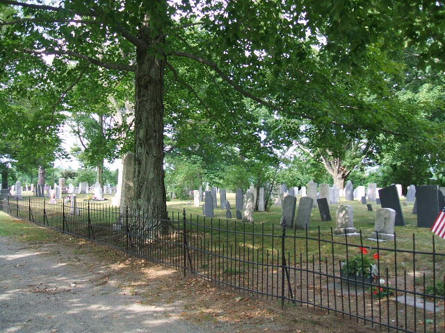
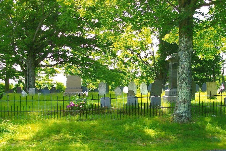
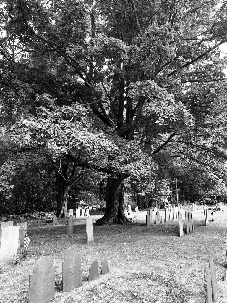
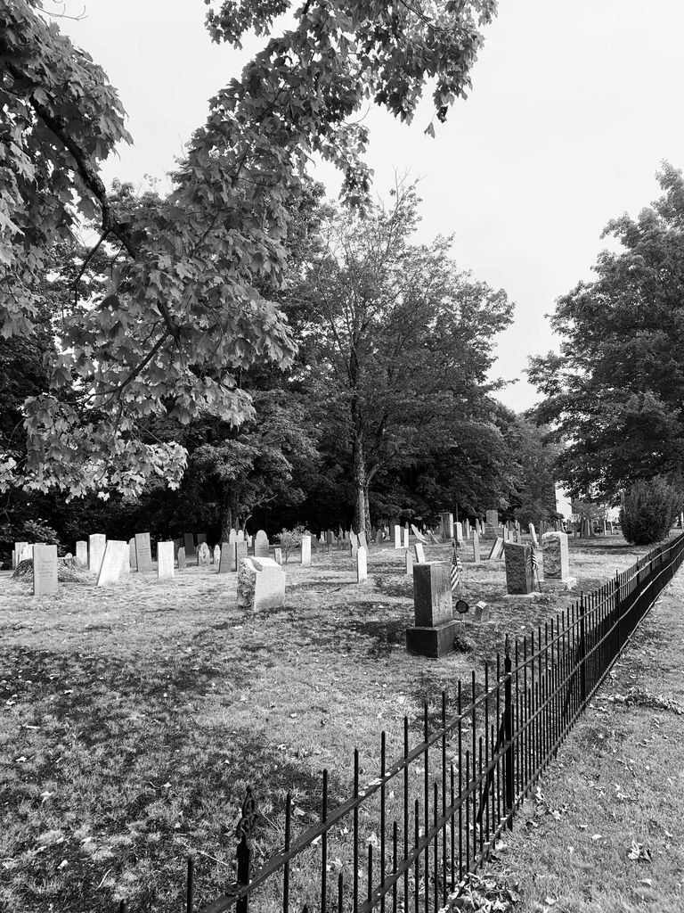
| Description | : | This is a town-owned cemetery. It was established in 1782. The Massachusetts Historical Commission refers to this cemetery in MACRIS as WEN801. |
frequently asked questions (FAQ):
-
Where is Wendell Center Cemetery?
Wendell Center Cemetery is located at Morse Village Road Wendell, Franklin County ,Massachusetts ,USA.
-
Wendell Center Cemetery cemetery's updated grave count on graveviews.com?
670 memorials
-
Where are the coordinates of the Wendell Center Cemetery?
Latitude: 42.5485400
Longitude: -72.3962400
Nearby Cemetories:
1. Smallpox Cemetery
Wendell, Franklin County, USA
Coordinate: 42.5452500, -72.3628000
2. Osgood Brook Cemetery
Wendell, Franklin County, USA
Coordinate: 42.5777300, -72.3786600
3. South Cemetery
Wendell, Franklin County, USA
Coordinate: 42.5092000, -72.4206000
4. Wilber Cemetery
New Salem, Franklin County, USA
Coordinate: 42.5254870, -72.3394830
5. Diemand Family Cemetery
Wendell, Franklin County, USA
Coordinate: 42.5769900, -72.4520600
6. Dry Hill Cemetery
Montague, Franklin County, USA
Coordinate: 42.5558300, -72.4647600
7. Holtshire Cemetery
Orange, Franklin County, USA
Coordinate: 42.5696300, -72.3296100
8. Erving Center Cemetery
Erving, Franklin County, USA
Coordinate: 42.6033300, -72.4056800
9. Locks Village Cemetery
Shutesbury, Franklin County, USA
Coordinate: 42.5010200, -72.4364000
10. Holton Cemetery
Erving, Franklin County, USA
Coordinate: 42.5799500, -72.4634600
11. North New Salem Cemetery
New Salem, Franklin County, USA
Coordinate: 42.5467700, -72.3164700
12. Gardner Cemetery
Leverett, Franklin County, USA
Coordinate: 42.5036011, -72.4574966
13. Orange Cemetery
Orange, Franklin County, USA
Coordinate: 42.6003740, -72.3449840
14. Center Cemetery
New Salem, Franklin County, USA
Coordinate: 42.5003360, -72.3312240
15. Chestnut Hill Cemetery
Montague, Franklin County, USA
Coordinate: 42.5228004, -72.4822006
16. Patrick Cemetery
Leverett, Franklin County, USA
Coordinate: 42.4995800, -72.4619500
17. South Cemetery
Orange, Franklin County, USA
Coordinate: 42.5657880, -72.3043410
18. Plain View Cemetery
Leverett, Franklin County, USA
Coordinate: 42.4972100, -72.4751900
19. Mount Hope Cemetery
Leverett, Franklin County, USA
Coordinate: 42.5111008, -72.4906006
20. Moores Corner Cemetery
Leverett, Franklin County, USA
Coordinate: 42.4924200, -72.4730700
21. Central Cemetery
Orange, Franklin County, USA
Coordinate: 42.5932960, -72.3066420
22. Town Cemetery
Montague, Franklin County, USA
Coordinate: 42.5595000, -72.5070200
23. Northfield Farms Cemetery
Northfield, Franklin County, USA
Coordinate: 42.6124992, -72.4741974
24. Highland Cemetery
Montague, Franklin County, USA
Coordinate: 42.5778008, -72.5083008