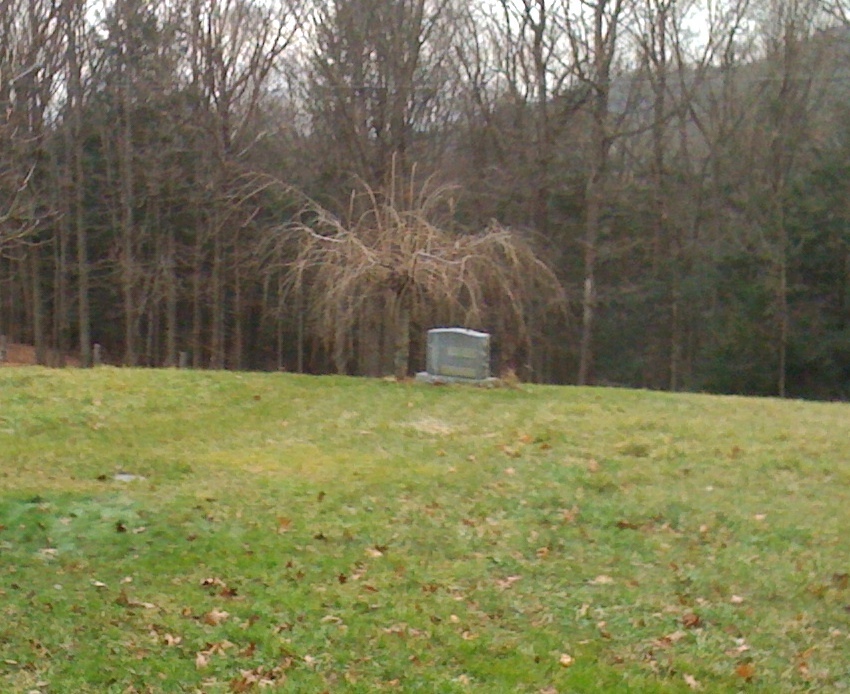
| Memorials | : | 6 |
| Location | : | Wendell, Franklin County, USA |
| Coordinate | : | 42.5769900, -72.4520600 |
| Description | : | The cemetery is on the Diemand Farm The cemetery has a row of tall yews blocking most of the view from the road. There is a wide opening in the yews to enter the cemetery. There is no roadway; there is no parking except for the side of the road. If approaching from the center of Wendell, it is on the left immediately before the Diemand Farm and Farm Store. Follow the Diemand Farm signs. |
frequently asked questions (FAQ):
-
Where is Diemand Family Cemetery?
Diemand Family Cemetery is located at Mormon Hollow Road Wendell, Franklin County ,Massachusetts , 01379USA.
-
Diemand Family Cemetery cemetery's updated grave count on graveviews.com?
6 memorials
-
Where are the coordinates of the Diemand Family Cemetery?
Latitude: 42.5769900
Longitude: -72.4520600
Nearby Cemetories:
1. Holton Cemetery
Erving, Franklin County, USA
Coordinate: 42.5799500, -72.4634600
2. Dry Hill Cemetery
Montague, Franklin County, USA
Coordinate: 42.5558300, -72.4647600
3. Northfield Farms Cemetery
Northfield, Franklin County, USA
Coordinate: 42.6124992, -72.4741974
4. Durkee Burial Lot
Northfield, Franklin County, USA
Coordinate: 42.6070000, -72.4861000
5. Highland Cemetery
Montague, Franklin County, USA
Coordinate: 42.5778008, -72.5083008
6. East Mineral Road Cemetery
Montague, Franklin County, USA
Coordinate: 42.5810500, -72.5086300
7. Erving Center Cemetery
Erving, Franklin County, USA
Coordinate: 42.6033300, -72.4056800
8. Town Cemetery
Montague, Franklin County, USA
Coordinate: 42.5595000, -72.5070200
9. Wendell Center Cemetery
Wendell, Franklin County, USA
Coordinate: 42.5485400, -72.3962400
10. Osgood Brook Cemetery
Wendell, Franklin County, USA
Coordinate: 42.5777300, -72.3786600
11. Chestnut Hill Cemetery
Montague, Franklin County, USA
Coordinate: 42.5228004, -72.4822006
12. South Mountain Road Cemetery
Northfield, Franklin County, USA
Coordinate: 42.6375008, -72.4167023
13. Our Lady of Czestochowa Cemetery
Montague, Franklin County, USA
Coordinate: 42.5846000, -72.5469400
14. Aaron Clark Memorial Cemetery
Montague, Franklin County, USA
Coordinate: 42.5836200, -72.5471600
15. Saint Marys Cemetery
Montague, Franklin County, USA
Coordinate: 42.5852200, -72.5475100
16. Elm Grove Cemetery
Montague, Franklin County, USA
Coordinate: 42.5418600, -72.5359000
17. Saint Annes Cemetery
Montague, Franklin County, USA
Coordinate: 42.5861300, -72.5480600
18. South Cemetery
Wendell, Franklin County, USA
Coordinate: 42.5092000, -72.4206000
19. Mount Hope Cemetery
Leverett, Franklin County, USA
Coordinate: 42.5111008, -72.4906006
20. Locust Hill Cemetery
Montague, Franklin County, USA
Coordinate: 42.5394700, -72.5363400
21. Gill Center Cemetery
Gill, Franklin County, USA
Coordinate: 42.6413803, -72.4983063
22. Smallpox Cemetery
Wendell, Franklin County, USA
Coordinate: 42.5452500, -72.3628000
23. Beers Ambush Gravesite
Northfield, Franklin County, USA
Coordinate: 42.6501200, -72.4560300
24. Gardner Cemetery
Leverett, Franklin County, USA
Coordinate: 42.5036011, -72.4574966

