
| Memorials | : | 0 |
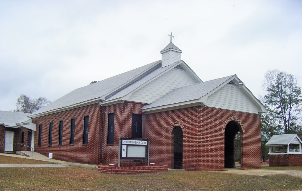
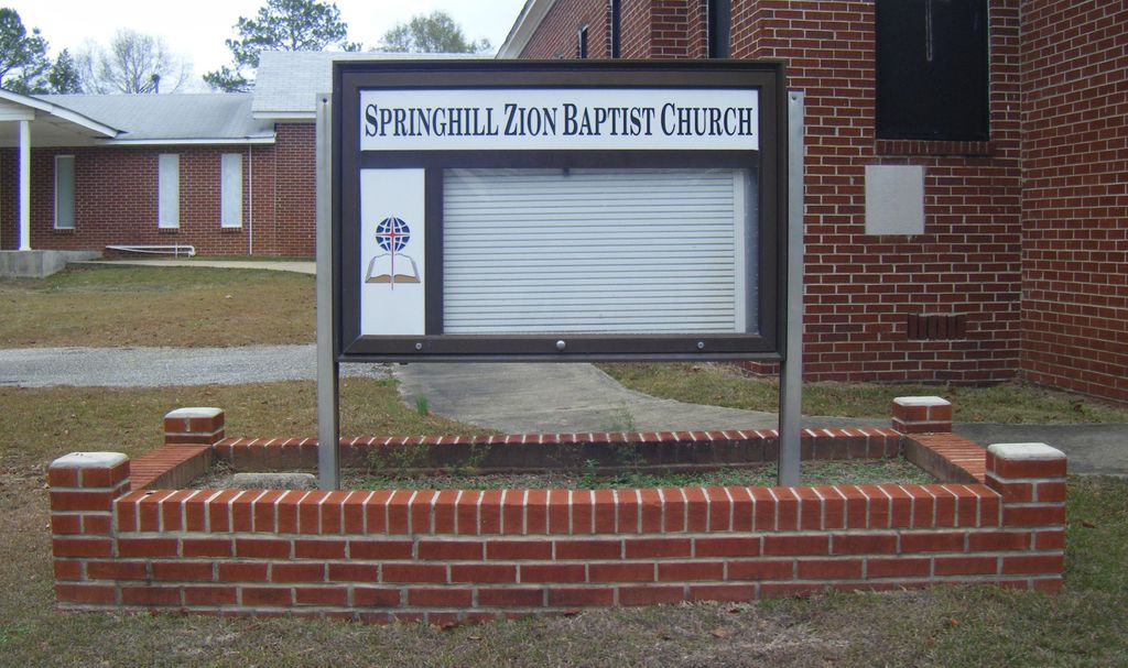
| Location | : | Eufaula, Barbour County, USA |
| Coordinate | : | 32.0746000, -85.3271600 |
frequently asked questions (FAQ):
-
Where is Springhill Zion Baptist Church Cemetery?
Springhill Zion Baptist Church Cemetery is located at 109 M P Comer Rd, Hightway 89 Eufaula, Barbour County ,Alabama , 36027USA.
-
Springhill Zion Baptist Church Cemetery cemetery's updated grave count on graveviews.com?
0 memorials
-
Where are the coordinates of the Springhill Zion Baptist Church Cemetery?
Latitude: 32.0746000
Longitude: -85.3271600

Nearby Cemetories:
1. Spring Hill United Methodist Church Cemetery
Spring Hill, Barbour County, USA
Coordinate: 32.0801353, -85.3389969
2. Humble Zion Baptist Church Cemetery
Spring Hill, Barbour County, USA
Coordinate: 32.0911780, -85.3524530
3. Mount Olive Missionary Baptist Church Cemetery
Comer, Barbour County, USA
Coordinate: 32.0734878, -85.3827183
4. Nero Baptist Church Cemetery
Spring Hill, Barbour County, USA
Coordinate: 32.1192210, -85.3854150
5. Ramah Baptist Church Cemetery
Barbour County, USA
Coordinate: 32.1058006, -85.3985977
6. Old Batesville Church Cemetery
Barbour County, USA
Coordinate: 32.0078011, -85.3091965
7. Friendship Cemetery
Barbour County, USA
Coordinate: 32.0069008, -85.3050003
8. Mount Gilead Cemetery
Barbour County, USA
Coordinate: 32.0891991, -85.2394028
9. Shady Grove Baptist Church Cemetery
Rutherford, Russell County, USA
Coordinate: 32.1561950, -85.3079400
10. Jones Cemetery
Barbour County, USA
Coordinate: 32.0313988, -85.2260971
11. Battle Cemetery
Rutherford, Russell County, USA
Coordinate: 32.1723300, -85.3044800
12. Mount Zion Baptist Church Cemetery
Hawkinsville, Barbour County, USA
Coordinate: 32.0226100, -85.2160300
13. Great Hope AME Church Cemetery
Midway, Bullock County, USA
Coordinate: 32.0956820, -85.4519860
14. Mount Pleasant Hill Baptist Church Cemetery
Midway, Bullock County, USA
Coordinate: 32.0315300, -85.4541000
15. Seay Cemetery
Bullock County, USA
Coordinate: 32.0344009, -85.4578018
16. Mount Missouri Baptist Church Cemetery
Rutherford, Russell County, USA
Coordinate: 32.1938210, -85.3149720
17. Ivey Cemetery
Glenville, Russell County, USA
Coordinate: 32.0974998, -85.1761017
18. New Mount Silla Baptist Church Cemetery
Barbour County, USA
Coordinate: 31.9925270, -85.4488170
19. Antioch Missionary Baptist Church Cemetery
Pittsview, Russell County, USA
Coordinate: 32.1937180, -85.2585410
20. Ebenezer Baptist Church Cemetery
Hurtsboro, Russell County, USA
Coordinate: 32.2026900, -85.3800100
21. Stewart Burying Ground
Glenville, Russell County, USA
Coordinate: 32.1104570, -85.1715540
22. Hurts African Methodist Episcopal Chapel
Hurtsboro, Russell County, USA
Coordinate: 32.2110670, -85.3582230
23. Glenville Cemetery
Russell County, USA
Coordinate: 32.1244011, -85.1731033
24. Olivet Methodist Cemetery
Hurtsboro, Russell County, USA
Coordinate: 32.2121570, -85.3583410