
| Memorials | : | 0 |
| Location | : | Holsworthy, Torridge District, England |
| Coordinate | : | 50.8107500, -4.3525400 |
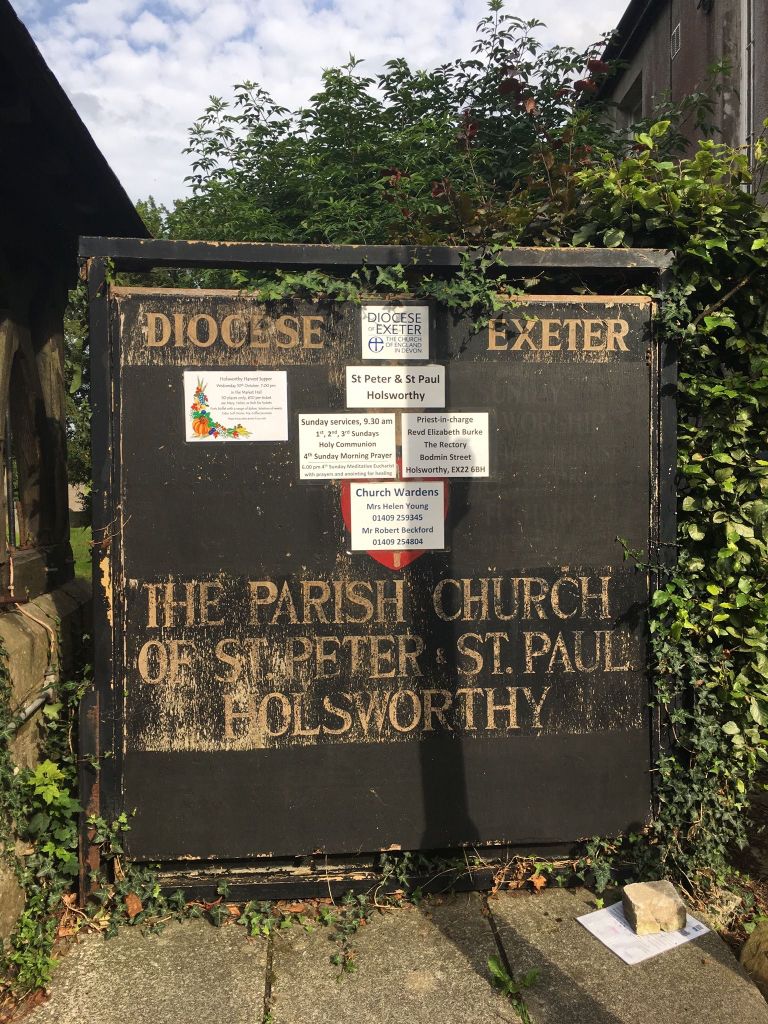
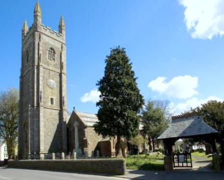
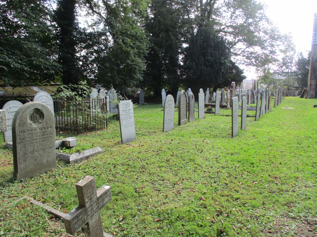
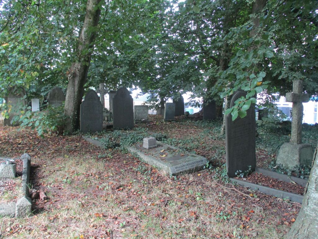
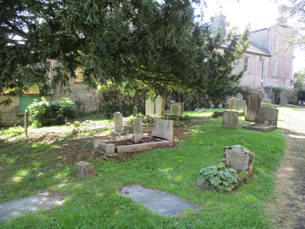
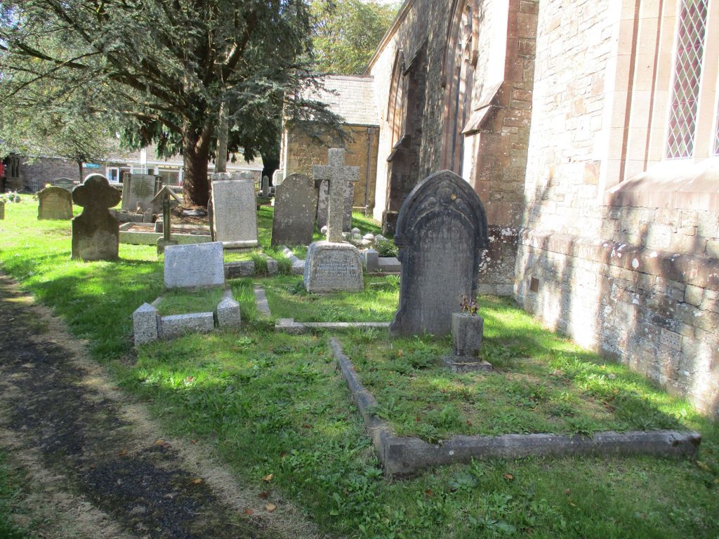
| Description | : | Holsworthy is a market town and civil parish in the north west of Devon, England. It is situated near the county border with Cornwall, and is 9 miles from the coastal resort of Bude. It is on the intersection of the A388 and A3072 roads, and lies on the River Deer, a tributary of the Tamar. The Church of St Peter and St Paul is the parish church, and there has been a church on the site since around 1130. |
frequently asked questions (FAQ):
-
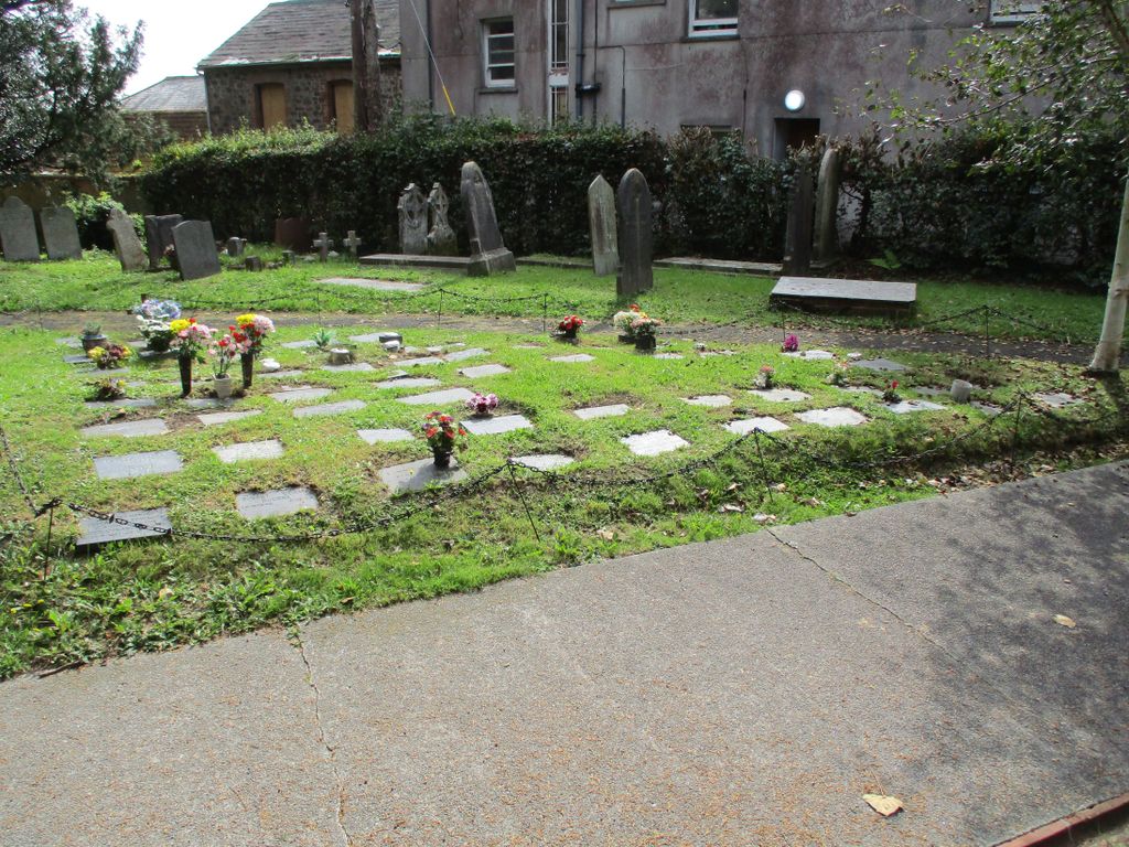
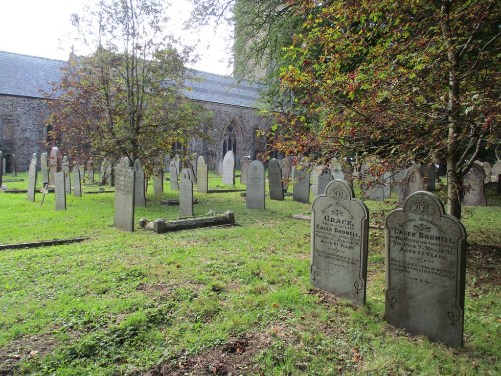
Where is Ss Peter and Paul Churchyard?
Ss Peter and Paul Churchyard is located at Holsworthy, Torridge District ,Devon , EX22 6EHEngland.
-
Ss Peter and Paul Churchyard cemetery's updated grave count on graveviews.com?
0 memorials
-
Where are the coordinates of the Ss Peter and Paul Churchyard?
Latitude: 50.8107500
Longitude: -4.3525400
Nearby Cemetories:
1. Holsworthy Cemetery
Holsworthy, Torridge District, England
Coordinate: 50.8179000, -4.3473500
2. St. Pancras Churchyard
Pancrasweek, Torridge District, England
Coordinate: 50.8268500, -4.4201500
3. Woodacott Chapel
Thornbury, Torridge District, England
Coordinate: 50.8470860, -4.2930920
4. Holy Cross Churchyard
Tetcott, Torridge District, England
Coordinate: 50.7443138, -4.3655843
5. Free Church Cemetery
Sutcombe, Torridge District, England
Coordinate: 50.8793320, -4.3517180
6. Saint Andrew's Churchyard
Sutcombe, Torridge District, England
Coordinate: 50.8807900, -4.3512500
7. Launcells Methodist Churchyard
Launcells, Cornwall Unitary Authority, England
Coordinate: 50.8283007, -4.4656921
8. All Saints Churchyard
Bradford, Torridge District, England
Coordinate: 50.8428590, -4.2440560
9. St. Peter & St. James Churchyard
Halwill, Torridge District, England
Coordinate: 50.7731000, -4.2317600
10. St. Peter Churchyard
Ashwater, Torridge District, England
Coordinate: 50.7342290, -4.2873920
11. Stowford Meadow
Stowford, West Devon Borough, England
Coordinate: 50.7634468, -4.2368540
12. St. Swithin Churchyard
Launcells, Cornwall Unitary Authority, England
Coordinate: 50.8242240, -4.4944380
13. St. James' Churchyard
Abbots Bickington, Torridge District, England
Coordinate: 50.8961300, -4.2983800
14. St. James the Great Churchyard
Kilkhampton, Cornwall Unitary Authority, England
Coordinate: 50.8750630, -4.4851140
15. St Mary's Churchyard
Black Torrington, Torridge District, England
Coordinate: 50.8304800, -4.1812600
16. Boyton Methodist Chapel
Boyton, Cornwall Unitary Authority, England
Coordinate: 50.7023020, -4.3816220
17. Black Torrington Methodist Church
Black Torrington, Torridge District, England
Coordinate: 50.8272639, -4.1792975
18. Bennacott Chapel
Boyton, Cornwall Unitary Authority, England
Coordinate: 50.7048188, -4.4127882
19. St Albans Cemetery
Beaworthy, West Devon Borough, England
Coordinate: 50.7734949, -4.1839460
20. St Mary's Church
Buckland Filleigh, Torridge District, England
Coordinate: 50.8612890, -4.1815770
21. St. Giles' Parish Churchyard
St Giles on the Heath, Torridge District, England
Coordinate: 50.6914989, -4.3245055
22. Germansweek
Germansweek, West Devon Borough, England
Coordinate: 50.7260170, -4.2131190
23. Providence Methodist Chapel
Beaworthy, West Devon Borough, England
Coordinate: 50.7797801, -4.1607775
24. St. Michael & All Angels Churchyard
Bude, Cornwall Unitary Authority, England
Coordinate: 50.8275500, -4.5497500