
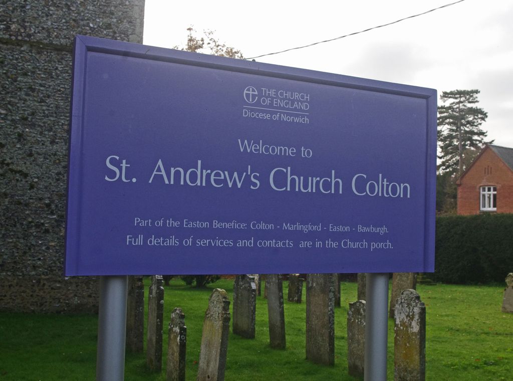
| Memorials | : | 155 |
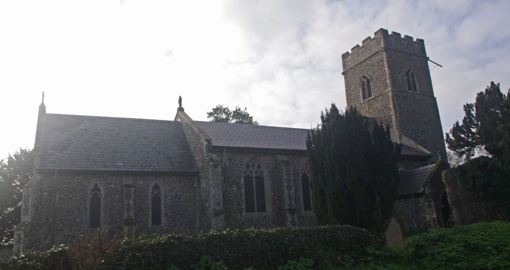
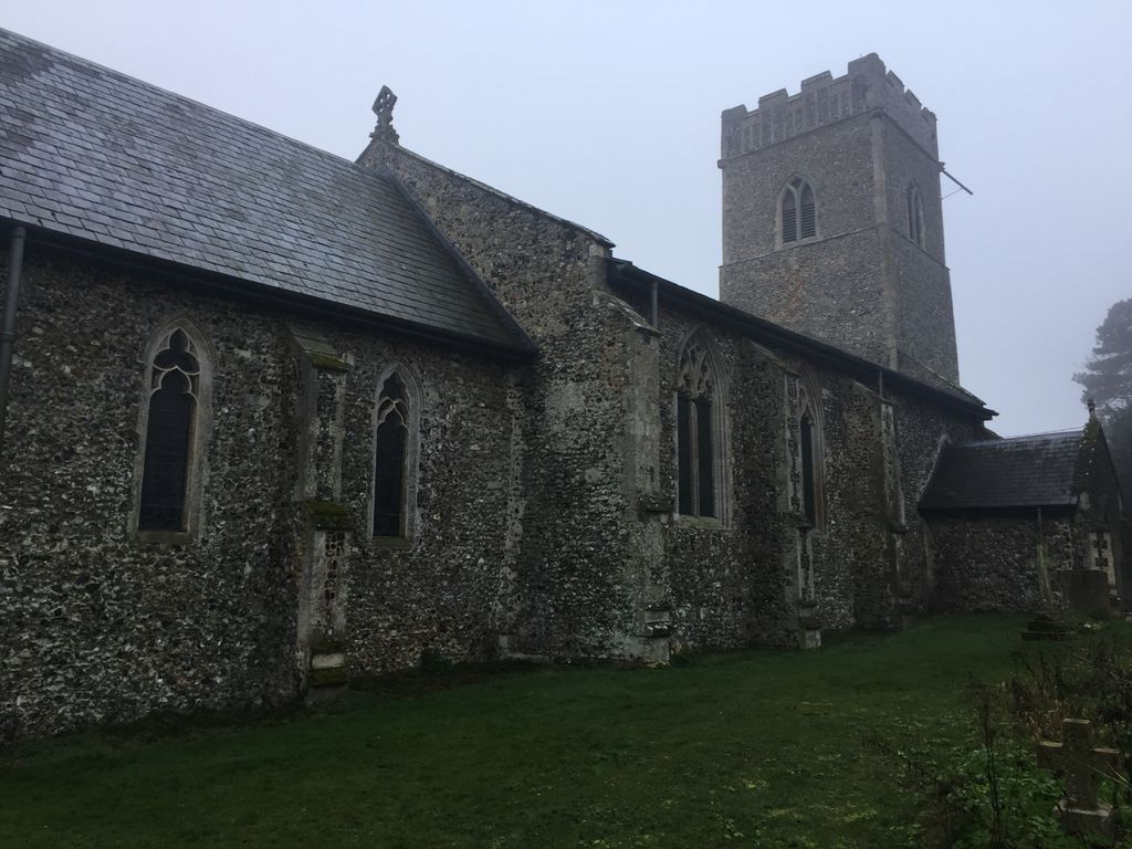
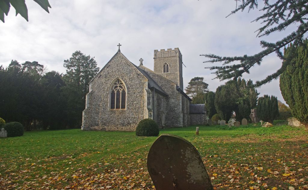
| Location | : | Colton, South Norfolk District, England |
| Coordinate | : | 52.6407700, 1.1089300 |
frequently asked questions (FAQ):
-
Where is St. Andrew's Churchyard?
St. Andrew's Churchyard is located at Church lane Colton, South Norfolk District ,Norfolk , Nr9 5deEngland.
-
St. Andrew's Churchyard cemetery's updated grave count on graveviews.com?
155 memorials
-
Where are the coordinates of the St. Andrew's Churchyard?
Latitude: 52.6407700
Longitude: 1.1089300
Nearby Cemetories:
1. St Botolphs
Barford, South Norfolk District, England
Coordinate: 52.6287000, 1.1118000
2. St Andrew's Churchyard
Honingham, Broadland District, England
Coordinate: 52.6573170, 1.1244600
3. St. Mary's Churchyard
Marlingford, South Norfolk District, England
Coordinate: 52.6310660, 1.1416800
4. St. Peter and St. Paul Churchyard
Barnham Broom, South Norfolk District, England
Coordinate: 52.6281830, 1.0749820
5. All Saints Churchyard
East Tuddenham, Breckland Borough, England
Coordinate: 52.6602410, 1.0813620
6. St. Peter's Churchyard
Easton, South Norfolk District, England
Coordinate: 52.6543660, 1.1478070
7. All Saints Churchyard
Mattishall, Breckland Borough, England
Coordinate: 52.6498440, 1.0551390
8. St Mary's Churchyard
Carleton Forehoe, South Norfolk District, England
Coordinate: 52.6100400, 1.0847490
9. All Saints, Welborne
South Norfolk District, England
Coordinate: 52.6496860, 1.0546670
10. All Saints & St Mary Churchyard
Great Melton, South Norfolk District, England
Coordinate: 52.6108700, 1.1602200
11. St. Mary and St. Walstan Churchyard
Bawburgh, South Norfolk District, England
Coordinate: 52.6327480, 1.1796530
12. St. Michael's Churchyard
Hockering, Breckland Borough, England
Coordinate: 52.6771691, 1.0629078
13. All Saints Churchyard
Runhall, South Norfolk District, England
Coordinate: 52.6209876, 1.0390341
14. All Saints' Churchyard
Mattishall, Breckland Borough, England
Coordinate: 52.6580670, 1.0346230
15. St Peter's Church Mattishall Burgh
Mattishall, Breckland Borough, England
Coordinate: 52.6647174, 1.0396513
16. Mattishall cemetery
Mattishall, Breckland Borough, England
Coordinate: 52.6597100, 1.0353800
17. St Mary's and All Saints Churchyard
Little Melton, South Norfolk District, England
Coordinate: 52.6173083, 1.1798046
18. St. Peter's Churchyard
Ringland, Broadland District, England
Coordinate: 52.6822900, 1.1552400
19. St. Mary's Churchyard
North Tuddenham, Breckland Borough, England
Coordinate: 52.6753000, 1.0389600
20. St. Peter's Churchyard
Kimberley, South Norfolk District, England
Coordinate: 52.5958100, 1.0572070
21. Colney Woodland Burial Park
Colney, South Norfolk District, England
Coordinate: 52.6254580, 1.1991560
22. Costessey Parish Cemetery
Costessey, South Norfolk District, England
Coordinate: 52.6495927, 1.2040157
23. All Saints Churchyard
Weston Longville, Broadland District, England
Coordinate: 52.6990630, 1.1257670
24. All Saints Churchyard
Weston Longville, Broadland District, England
Coordinate: 52.6993460, 1.1262510