
| Memorials | : | 14 |
| Location | : | Great Melton, South Norfolk District, England |
| Coordinate | : | 52.6108700, 1.1602200 |
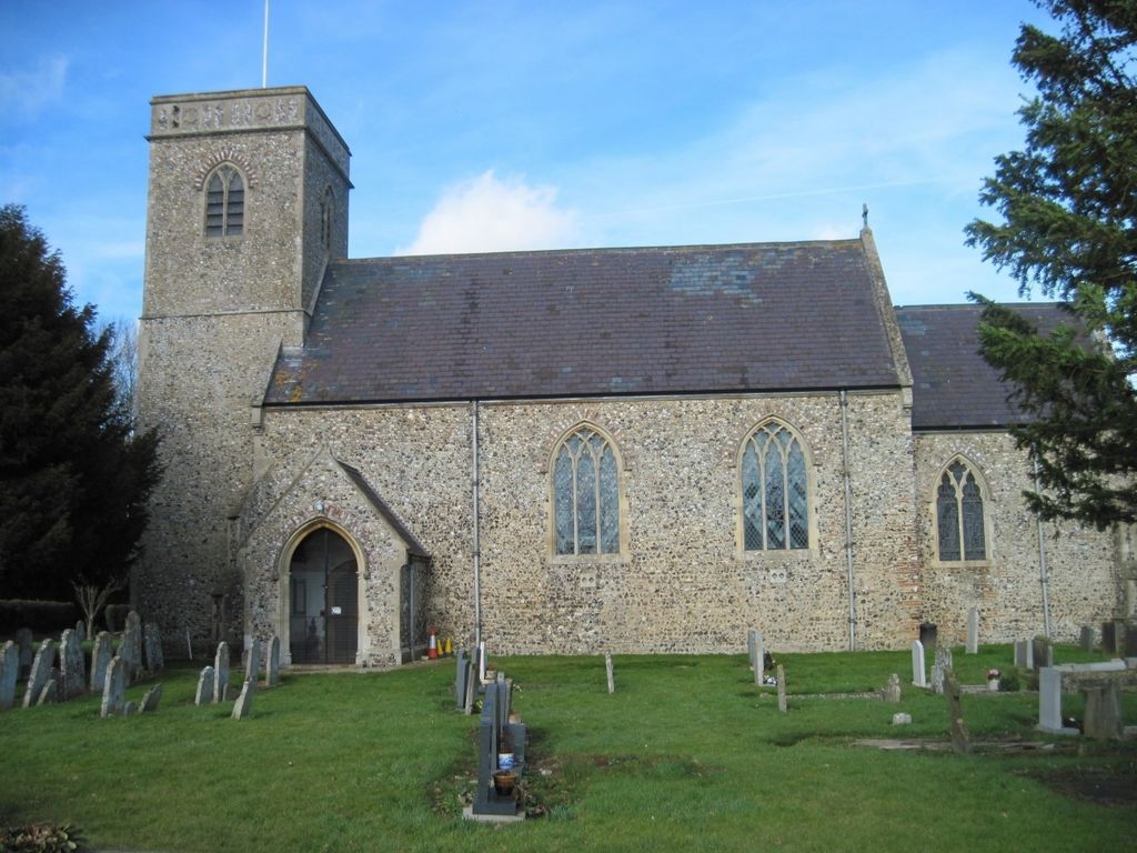
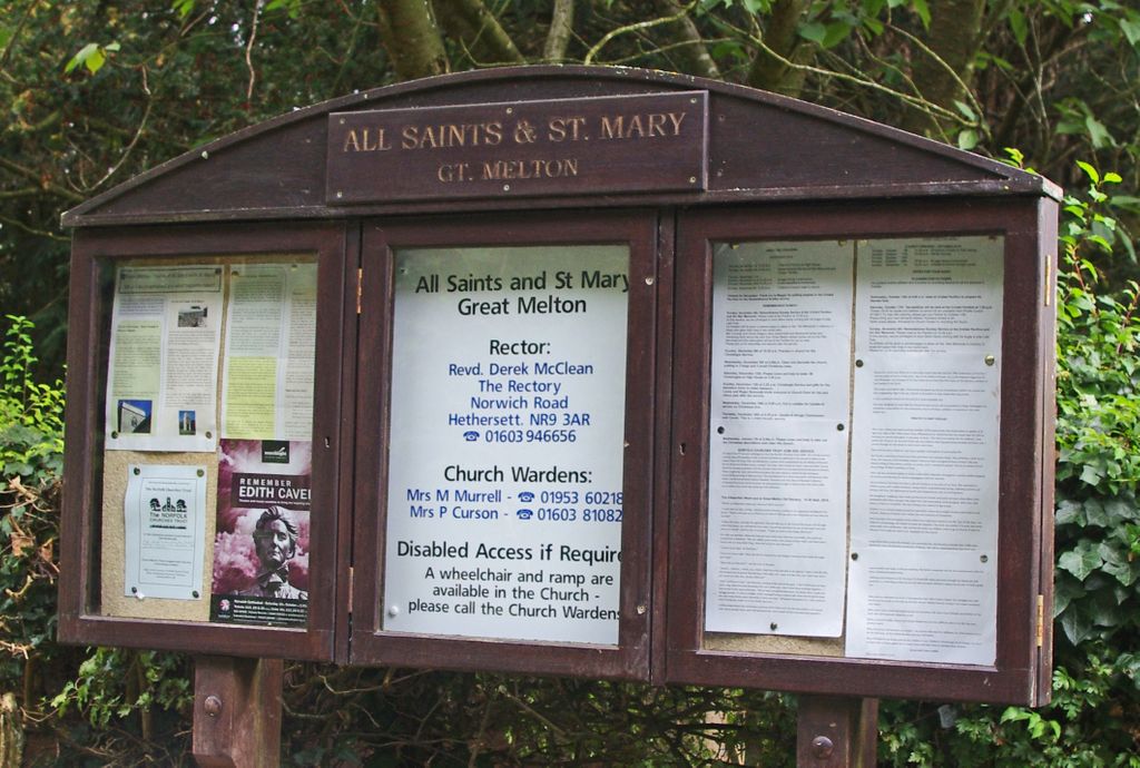
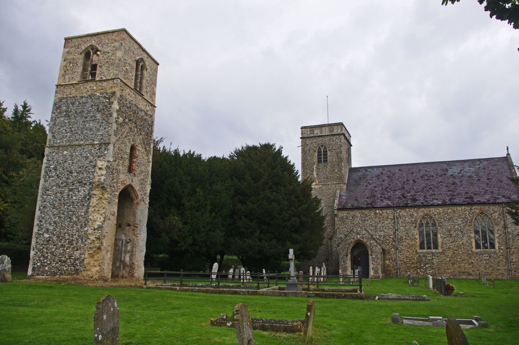
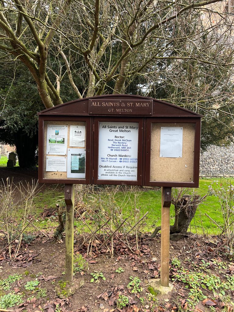
| Description | : | The village of Great Melton in South Norfolk was divided into two distinct parishes, St. Mary's and All Saints. Although the churches are next to each other, each served a different manor historically until they were consolidated in the early 18th century. In approximately 1710, after an Act of Parliament, All Saints church was abandoned and the congregation worshipped at St Mary's until this church, too, became dilapidated. In 1882, the decision was made to restore All Saints at a cost of approximately £1,000, and to abandon St Mary's. The two churches share the same graveyard with the ruined... Read More |
frequently asked questions (FAQ):
-
Where is All Saints & St Mary Churchyard?
All Saints & St Mary Churchyard is located at Market Lane Great Melton, South Norfolk District ,Norfolk , NR9 3BHEngland.
-
All Saints & St Mary Churchyard cemetery's updated grave count on graveviews.com?
14 memorials
-
Where are the coordinates of the All Saints & St Mary Churchyard?
Latitude: 52.6108700
Longitude: 1.1602200
Nearby Cemetories:
1. St Mary's and All Saints Churchyard
Little Melton, South Norfolk District, England
Coordinate: 52.6173083, 1.1798046
2. Saint Remigius Churchyard
Hethersett, South Norfolk District, England
Coordinate: 52.5992830, 1.1889340
3. St. Mary's Churchyard
Marlingford, South Norfolk District, England
Coordinate: 52.6310660, 1.1416800
4. St. Mary and St. Walstan Churchyard
Bawburgh, South Norfolk District, England
Coordinate: 52.6327480, 1.1796530
5. Colney Woodland Burial Park
Colney, South Norfolk District, England
Coordinate: 52.6254580, 1.1991560
6. St Botolphs
Barford, South Norfolk District, England
Coordinate: 52.6287000, 1.1118000
7. St. Peter's Churchyard
Ketteringham, South Norfolk District, England
Coordinate: 52.5778000, 1.1921000
8. St. Andrew Churchyard
Colney, South Norfolk District, England
Coordinate: 52.6253800, 1.2206100
9. St Michael's Church
Bowthorpe, City of Norwich, England
Coordinate: 52.6359300, 1.2163600
10. St. Andrew's Churchyard
Colton, South Norfolk District, England
Coordinate: 52.6407700, 1.1089300
11. St. Peter's Churchyard
Easton, South Norfolk District, England
Coordinate: 52.6543660, 1.1478070
12. St Mary's Churchyard
Carleton Forehoe, South Norfolk District, England
Coordinate: 52.6100400, 1.0847490
13. Costessey Parish Cemetery
Costessey, South Norfolk District, England
Coordinate: 52.6495927, 1.2040157
14. St. Mary's Churchyard
Earlham, City of Norwich, England
Coordinate: 52.6280416, 1.2353034
15. St Mary Churchyard
East Carleton, South Norfolk District, England
Coordinate: 52.5726700, 1.2153470
16. St Andrew's Churchyard
Honingham, Broadland District, England
Coordinate: 52.6573170, 1.1244600
17. St. Peter's Churchyard
Cringleford, South Norfolk District, England
Coordinate: 52.6057990, 1.2453370
18. All Saints Church, Intwood
Cringleford, South Norfolk District, England
Coordinate: 52.5910430, 1.2419930
19. Keswick Churchyard
Keswick, South Norfolk District, England
Coordinate: 52.5909460, 1.2419310
20. St. Peter and St. Paul Churchyard
Barnham Broom, South Norfolk District, England
Coordinate: 52.6281830, 1.0749820
21. St. Andrew's Old Churchyard
Eaton, City of Norwich, England
Coordinate: 52.6068200, 1.2514300
22. Our Lady & St. Walstan Churchyard
Costessey, South Norfolk District, England
Coordinate: 52.6583200, 1.2119300
23. Eaton Parish Burial Ground
Eaton, City of Norwich, England
Coordinate: 52.6053900, 1.2556800
24. Costessey Baptist Churchyard
Costessey, South Norfolk District, England
Coordinate: 52.6600122, 1.2116993