
| Memorials | : | 12 |
| Location | : | Pinchbeck, South Holland District, England |
| Coordinate | : | 52.8080873, -0.2216285 |
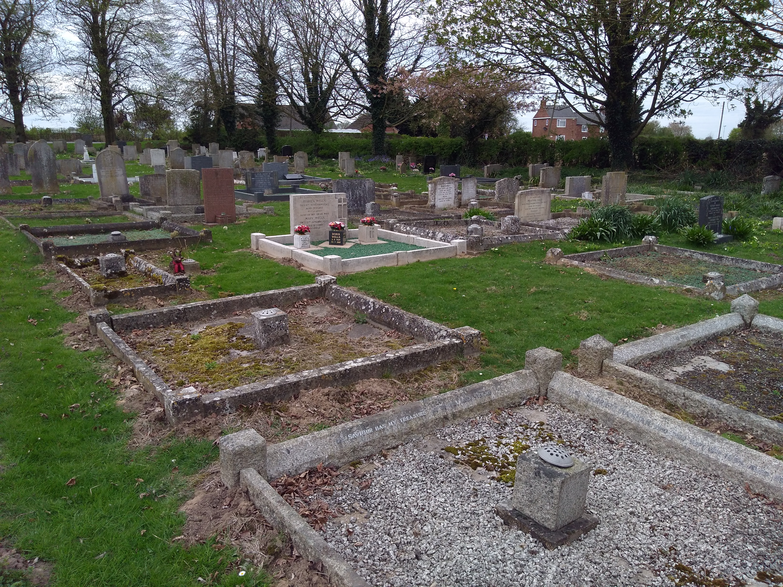
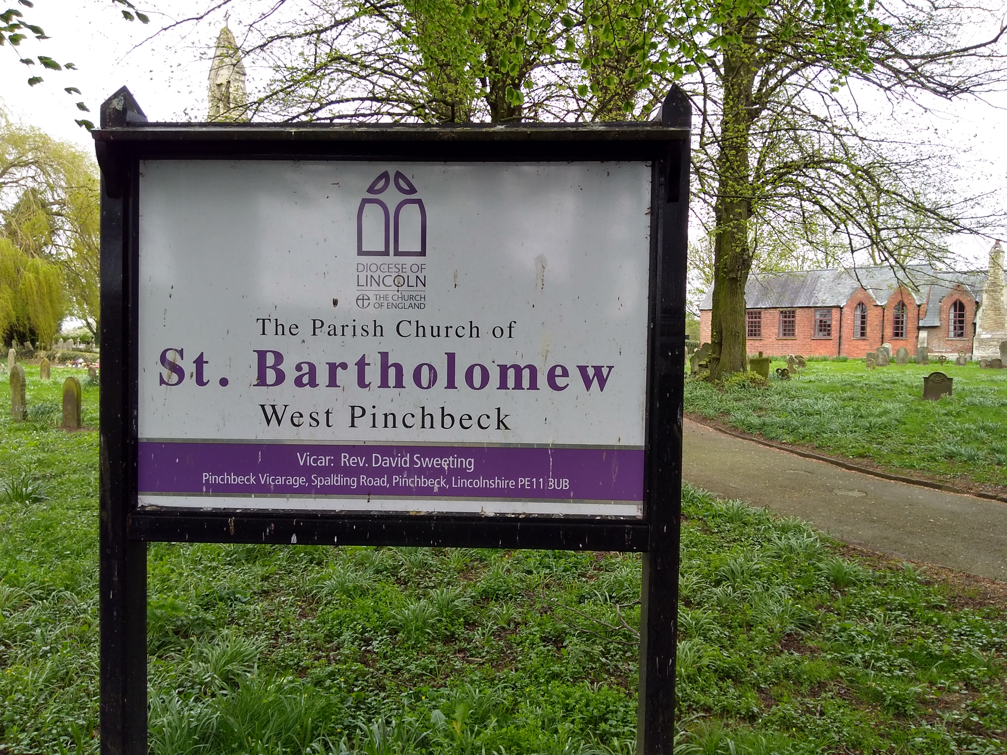
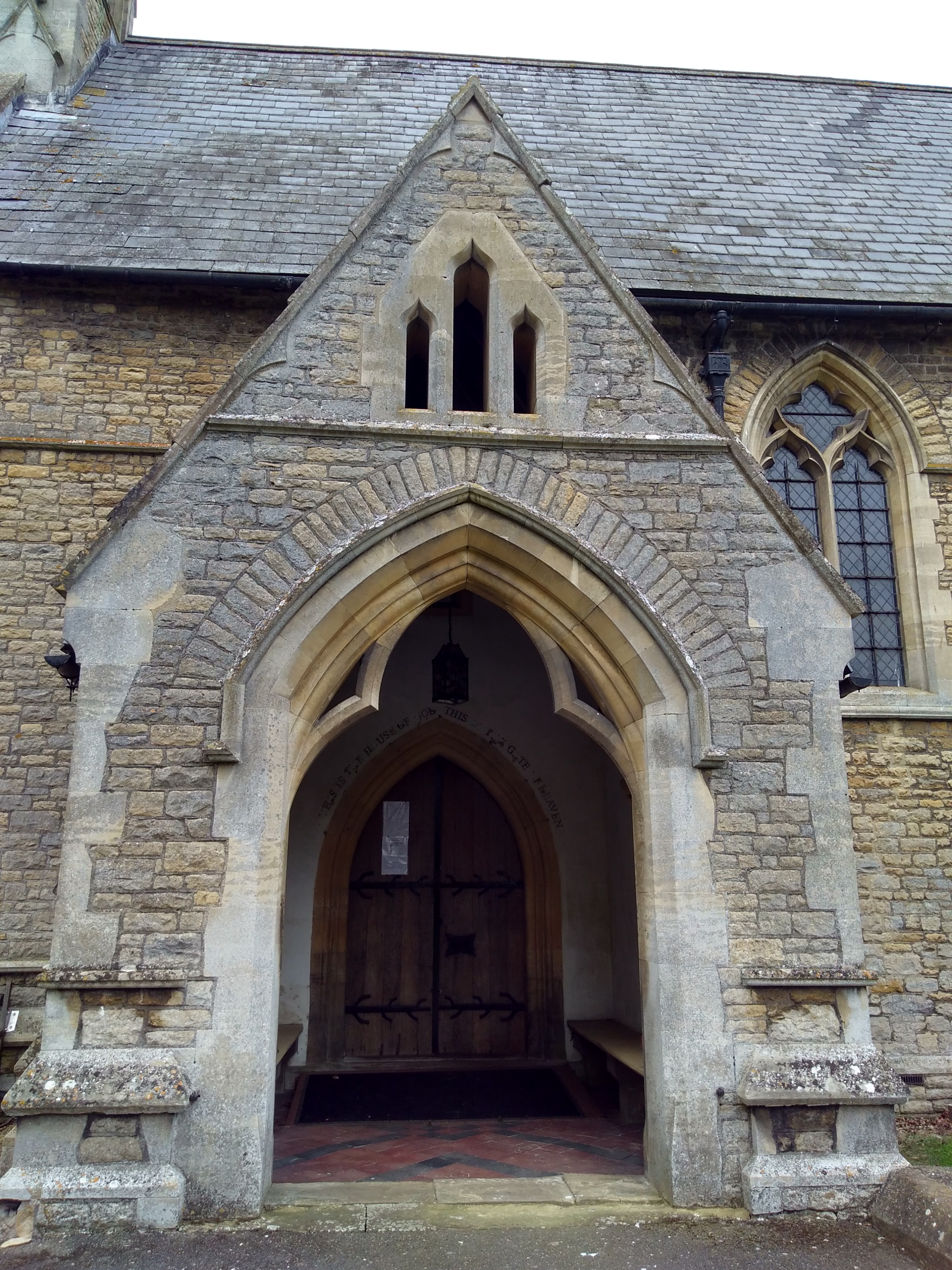
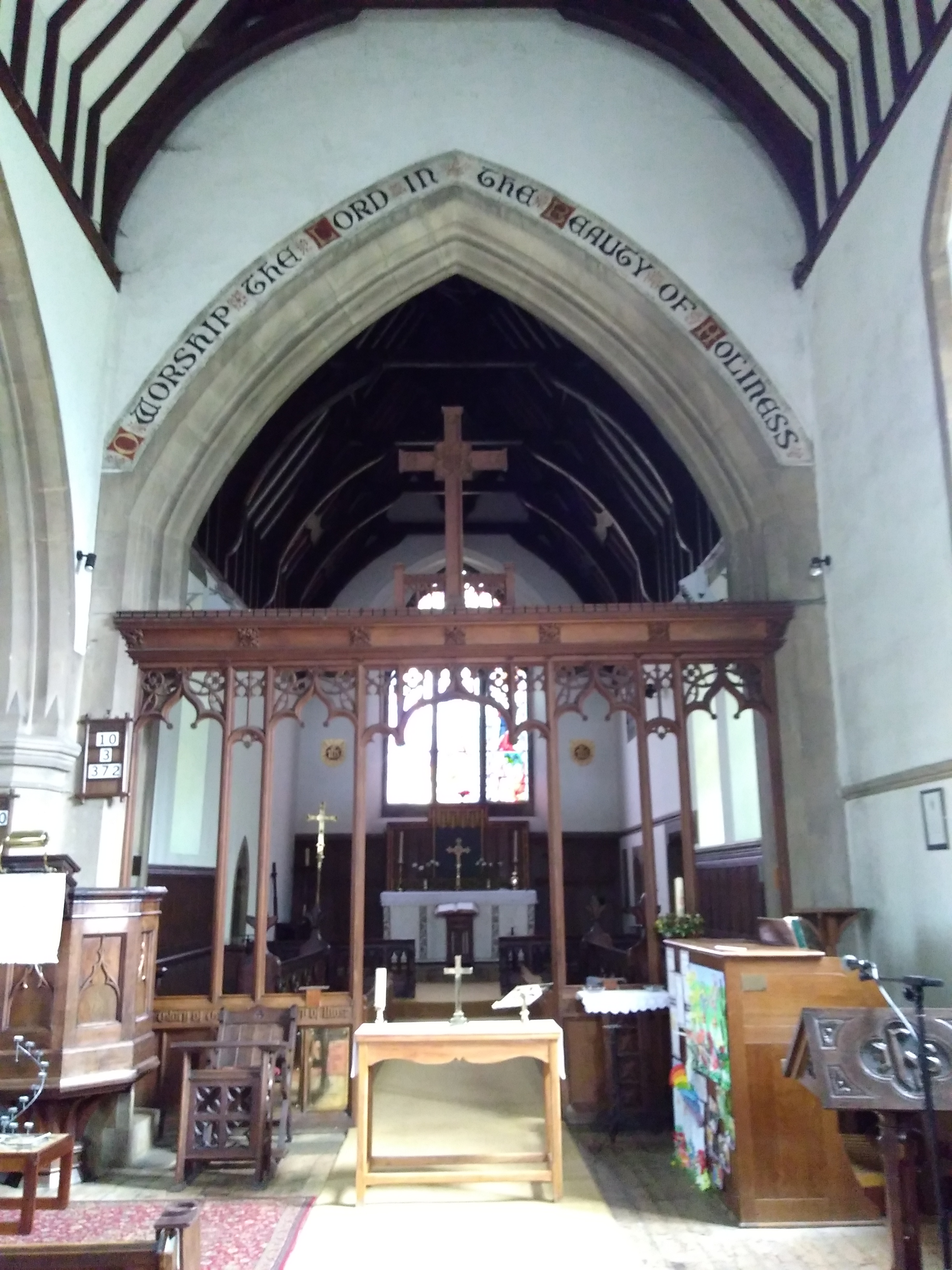
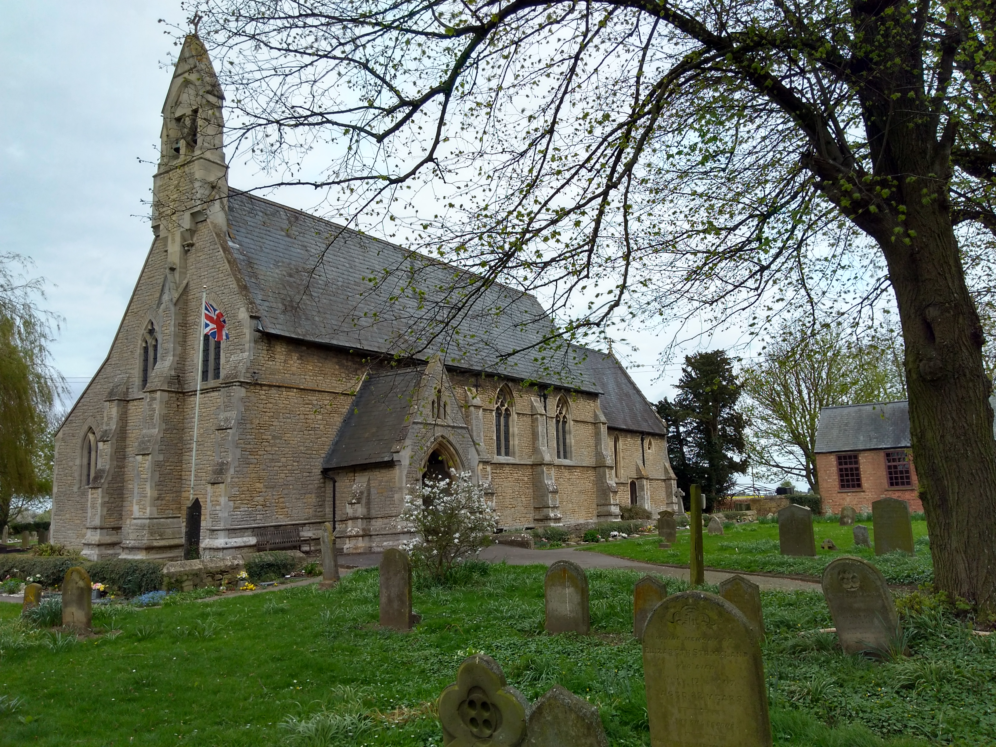
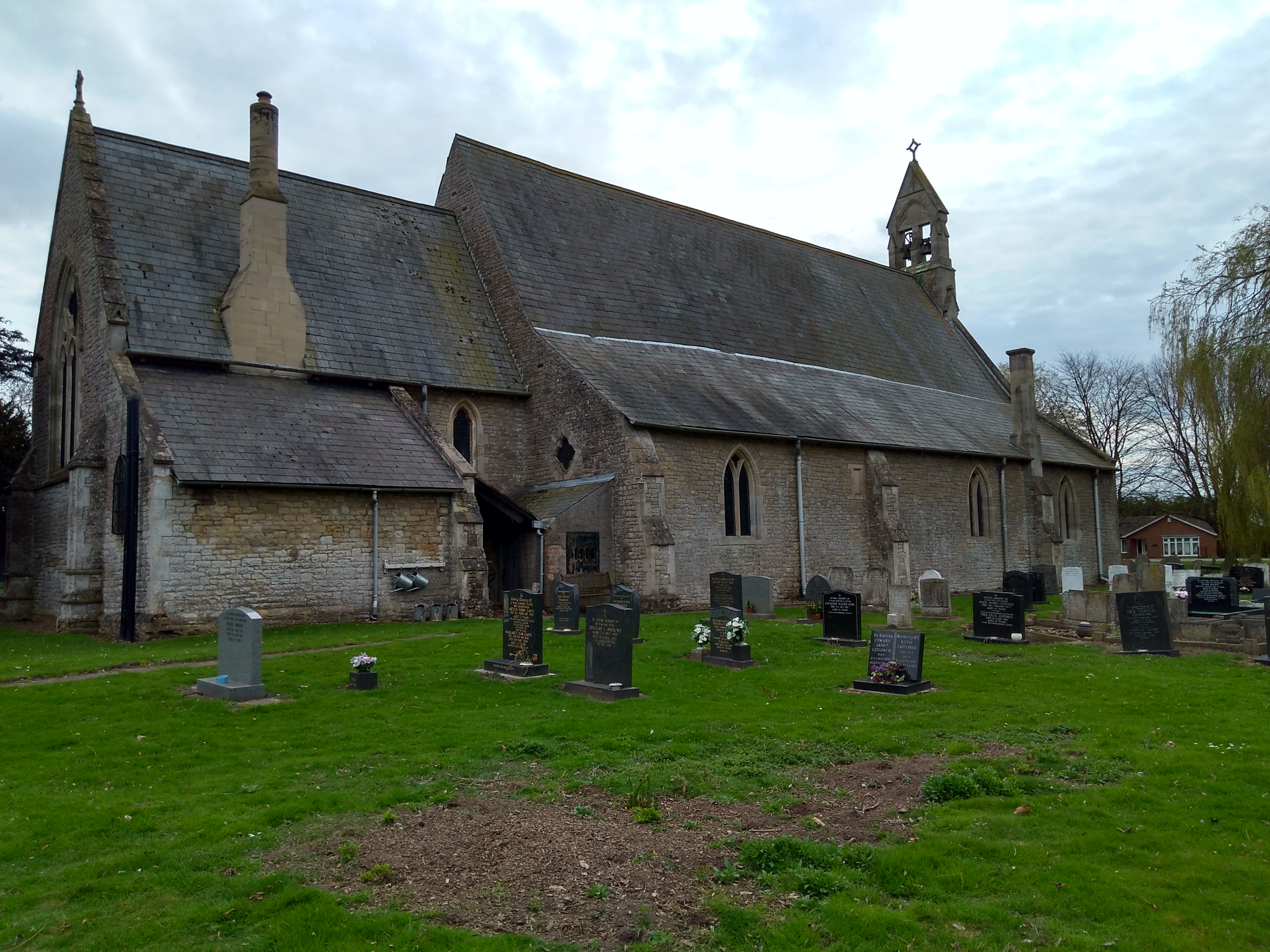
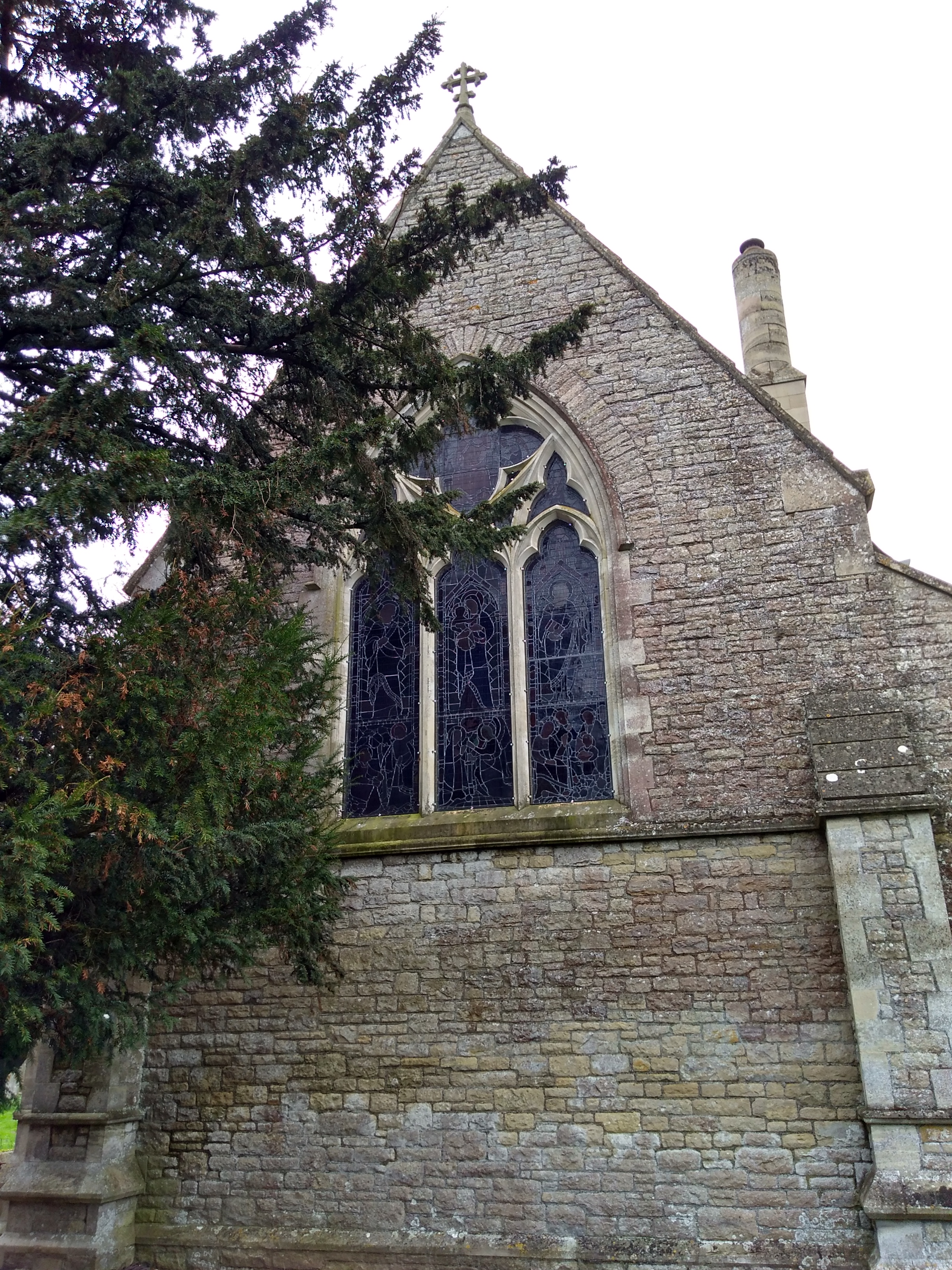
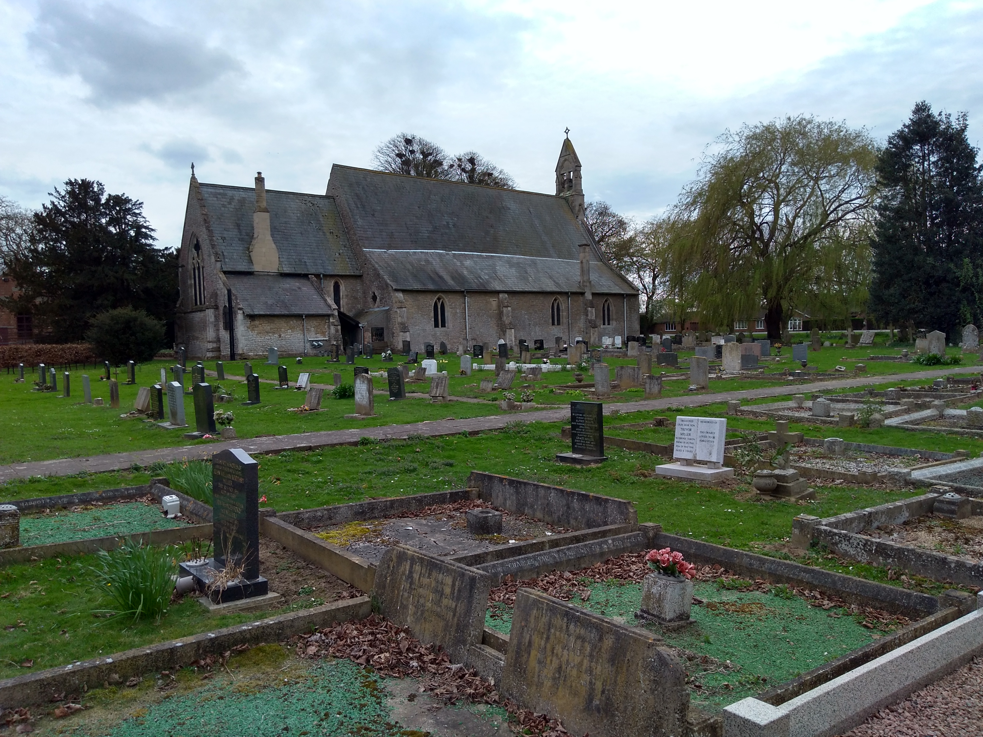
| Description | : | 'St Bartholomew's Church, and the surrounding Churchyard, was dedicated in July 1850. The Churchyard grounds, including two areas for cremated remains (the `Gardens of Remembrance' to the immediate south and west of the Church building) are a peaceful space and permanently open to the public. The foundation stone of St Bartholomew's Church was laid by Canon Wayet on the Feast of St Bartholomew (24th August) 1848, and consecrated on 9th July 1850 by the Lord Bishop of Lincoln, the Rt Revd John Kaye. The first Priest in Charge, Revd Hector Nelson, served also as Schoolmaster while the new complex... Read More |
frequently asked questions (FAQ):
-
Where is St Bartholomew's Church West Pinchbeck?
St Bartholomew's Church West Pinchbeck is located at Pinchbeck, South Holland District ,Lincolnshire , PE11 3QGEngland.
-
St Bartholomew's Church West Pinchbeck cemetery's updated grave count on graveviews.com?
12 memorials
-
Where are the coordinates of the St Bartholomew's Church West Pinchbeck?
Latitude: 52.8080873
Longitude: -0.2216285
Nearby Cemetories:
1. St. Mary's Churchyard
Pinchbeck, South Holland District, England
Coordinate: 52.8135340, -0.1589220
2. St Gilbert and St Hugh Churchyard
Gosberton Clough, South Holland District, England
Coordinate: 52.8518081, -0.2166268
3. Spalding Cemetery
Spalding, South Holland District, England
Coordinate: 52.7954960, -0.1519390
4. St. Laurence Churchyard
Surfleet, South Holland District, England
Coordinate: 52.8369500, -0.1436110
5. St Paul's Churchyard
Spalding, South Holland District, England
Coordinate: 52.7969559, -0.1305557
6. South Lincolnshire Crematorium
Surfleet, South Holland District, England
Coordinate: 52.8451100, -0.1475110
7. Surfleet Cemetery
Surfleet, South Holland District, England
Coordinate: 52.8391670, -0.1383330
8. Gosberton Cemetery
Gosberton, South Holland District, England
Coordinate: 52.8659400, -0.1623000
9. Gosberton Baptist Church
Gosberton, South Holland District, England
Coordinate: 52.8651820, -0.1533940
10. St. Peter and St. Paul Churchyard
Gosberton, South Holland District, England
Coordinate: 52.8690870, -0.1629740
11. St Andrew's Churchyard
Haconby, South Kesteven District, England
Coordinate: 52.8135400, -0.3594300
12. St. Mary's Cemetery
Weston, South Holland District, England
Coordinate: 52.8078662, -0.0809039
13. St. Margaret's Churchyard
Quadring, South Holland District, England
Coordinate: 52.8903400, -0.1819700
14. St John the Baptist Churchyard
Morton, South Kesteven District, England
Coordinate: 52.8025100, -0.3724200
15. St Andrew's Churchyard
Rippingale, South Kesteven District, England
Coordinate: 52.8366700, -0.3718000
16. Moulton Cemetery
Moulton, South Holland District, England
Coordinate: 52.8017000, -0.0632400
17. All Saints Churchyard
Moulton, South Holland District, England
Coordinate: 52.7990056, -0.0629691
18. Donington New Cemetery
Donington, South Holland District, England
Coordinate: 52.9071410, -0.2059100
19. St. Mary and the Holy Rood Churchyard
Donington, South Holland District, England
Coordinate: 52.9072790, -0.2050080
20. Donington Old Cemetery
Donington, South Holland District, England
Coordinate: 52.9091670, -0.2055560
21. Bourne Cemetery
Bourne, South Kesteven District, England
Coordinate: 52.7607264, -0.3714663
22. Bourne Abbey
Bourne, South Kesteven District, England
Coordinate: 52.7661320, -0.3758389
23. Sempringham Priory
Sempringham Fen, South Kesteven District, England
Coordinate: 52.8789250, -0.3583360
24. St. Mary's Churchyard
Whaplode, South Holland District, England
Coordinate: 52.7974840, -0.0385520