
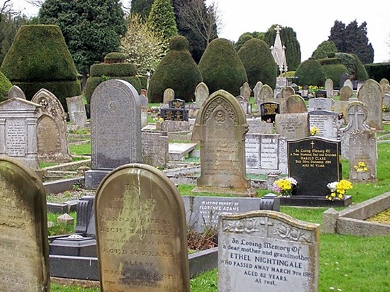
| Memorials | : | 4291 |
| Location | : | Bourne, South Kesteven District, England |
| Phone | : | 01778 426123 |
| Coordinate | : | 52.7607264, -0.3714663 |
frequently asked questions (FAQ):
-
Where is Bourne Cemetery?
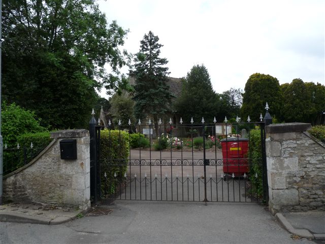
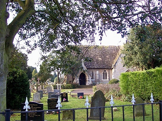
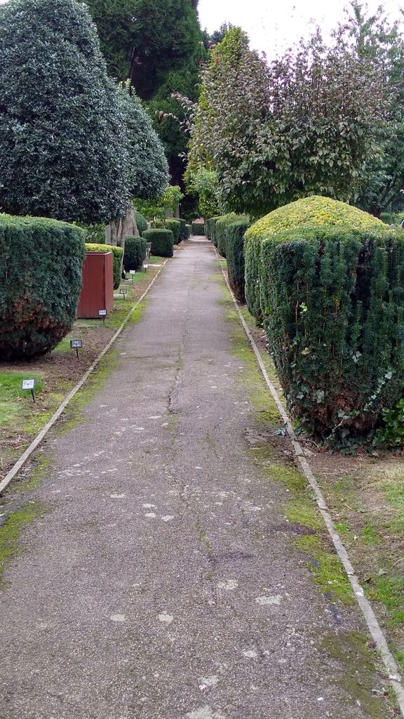
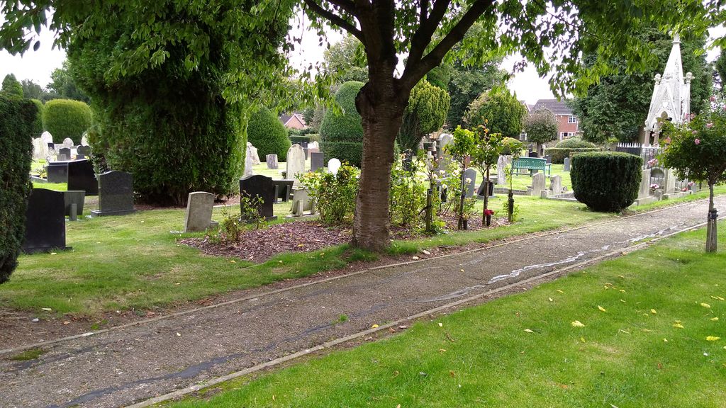
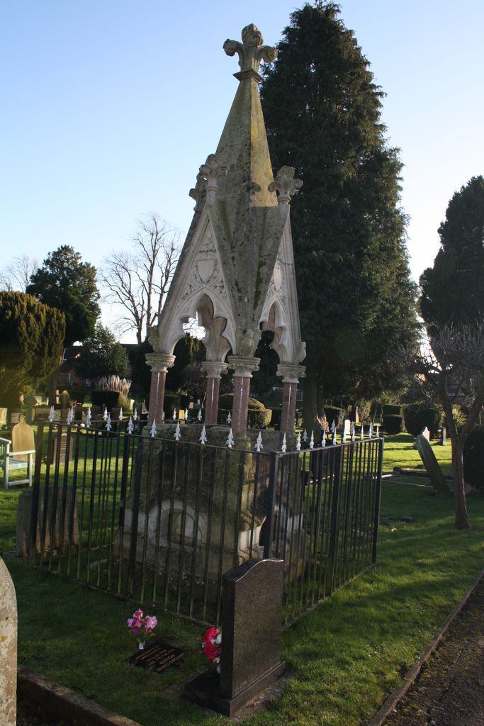
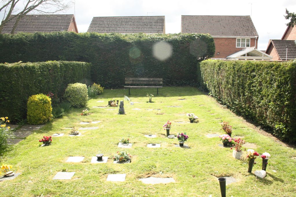
Bourne Cemetery is located at 47 South Road Bourne, South Kesteven District ,Lincolnshire , PE10 9JDEngland.
-
Bourne Cemetery cemetery's updated grave count on graveviews.com?
4282 memorials
-
Where are the coordinates of the Bourne Cemetery?
Latitude: 52.7607264
Longitude: -0.3714663
Nearby Cemetories:
1. Bourne Abbey
Bourne, South Kesteven District, England
Coordinate: 52.7661320, -0.3758389
2. St Firmin Churchyard
Thurlby, South Kesteven District, England
Coordinate: 52.7375960, -0.3646650
3. St Michael Churchyard
Edenham, South Kesteven District, England
Coordinate: 52.7836110, -0.4266560
4. St John the Baptist Churchyard
Morton, South Kesteven District, England
Coordinate: 52.8025100, -0.3724200
5. Baston Cemetery
Baston, South Kesteven District, England
Coordinate: 52.7149917, -0.3531338
6. St John the Baptist Churchyard
Baston, South Kesteven District, England
Coordinate: 52.7149530, -0.3530650
7. St. Andrews Churchyard
Witham on the Hill, South Kesteven District, England
Coordinate: 52.7364500, -0.4420300
8. St Faith Churchyard
Wilsthorpe, South Kesteven District, England
Coordinate: 52.7095208, -0.3848166
9. St Andrew's Churchyard
Haconby, South Kesteven District, England
Coordinate: 52.8135400, -0.3594300
10. St Michael and All Angels Churchyard
Langtoft, South Kesteven District, England
Coordinate: 52.6990300, -0.3389800
11. Saint Stephen
Carlby, South Kesteven District, England
Coordinate: 52.7125650, -0.4475800
12. St Stephen Churchyard
Careby, South Kesteven District, England
Coordinate: 52.7363500, -0.4823700
13. St Mary Magdalene Churchyard
Essendine, Rutland Unitary Authority, England
Coordinate: 52.7026000, -0.4489000
14. St Andrew's Churchyard
Rippingale, South Kesteven District, England
Coordinate: 52.8366700, -0.3718000
15. St Martin Churchyard
Barholm, South Kesteven District, England
Coordinate: 52.6855000, -0.3887600
16. St Peter Churchyard
Creeton, South Kesteven District, England
Coordinate: 52.7669500, -0.4977300
17. St Mary Churchyard
Swinstead, South Kesteven District, England
Coordinate: 52.7900380, -0.4909380
18. St Medard and St Gildard Churchyard
Little Bytham, South Kesteven District, England
Coordinate: 52.6786110, -0.3200000
19. St Wilfrid
Holywell, South Kesteven District, England
Coordinate: 52.7329915, -0.5149881
20. St John the Evangelist Churchyard
Ryhall, Rutland Unitary Authority, England
Coordinate: 52.6852000, -0.4685000
21. Ryhall Churchyard Extension
Ryhall, Rutland Unitary Authority, England
Coordinate: 52.6849000, -0.4678700
22. St. Andrew's Churchyard
West Deeping, South Kesteven District, England
Coordinate: 52.6640285, -0.3614634
23. Aslackby Cemetery
Aslackby, South Kesteven District, England
Coordinate: 52.8597838, -0.3855002
24. St James the Great Churchyard
Aslackby, South Kesteven District, England
Coordinate: 52.8600900, -0.3894200