| Memorials | : | 0 |
| Location | : | Longthorpe, Peterborough Unitary Authority, England |
frequently asked questions (FAQ):
-
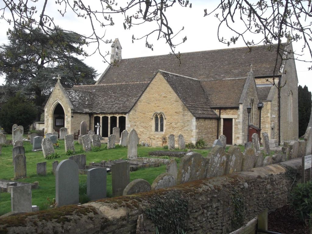
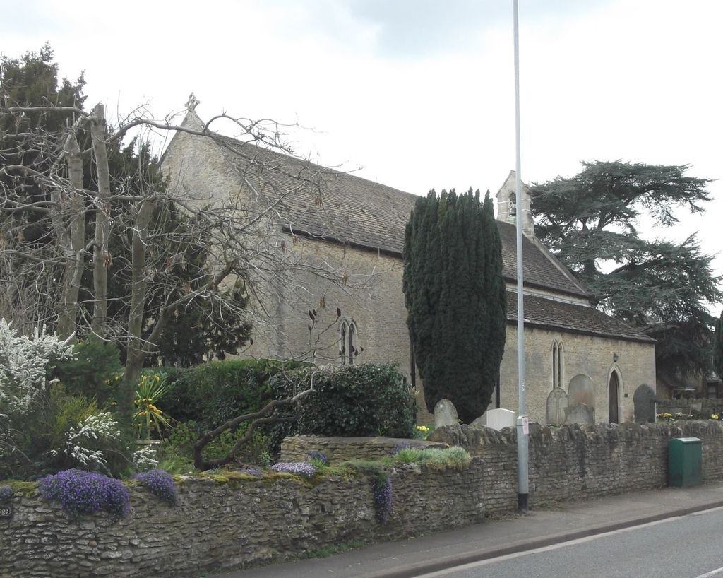
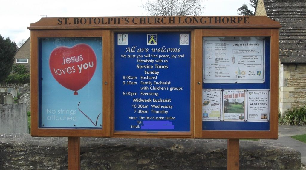
Where is St. Botolph's Churchyard?
St. Botolph's Churchyard is located at No GPS information available Add GPS315-319 Thorpe Road Longthorpe, Peterborough Unitary Authority ,Cambridgeshire , PE3 6LUEngland.
-
St. Botolph's Churchyard cemetery's updated grave count on graveviews.com?
0 memorials
Nearby Cemetories:
1. Peterborough Crematorium
Bretton, Peterborough Unitary Authority, England
Coordinate: 52.5516860, -0.2273100
2. Helpston Cemetery
Helpston, Peterborough Unitary Authority, England
3. St. Botolph Helpston Churchyard
Helpston, Peterborough Unitary Authority, England
Coordinate: 52.5607090, -0.2529700
4. All Saints at Botolphbridge (Not Extant)
Orton Longueville, Peterborough Unitary Authority, England
5. Holy Trinity Church
Orton Longueville, Peterborough Unitary Authority, England
Coordinate: 52.6350291, -0.4069986
6. St. Michael & All Angels
Sutton, Peterborough Unitary Authority, England
Coordinate: 52.6324997, -0.4068000
7. St Mary's Churchyard
Bainton, Peterborough Unitary Authority, England
Coordinate: 52.5611534, -0.2350550
8. Glinton Cemetery
Glinton, Peterborough Unitary Authority, England
Coordinate: 52.5584400, -0.2350100
9. Saint Benedict Churchyard
Glinton, Peterborough Unitary Authority, England
Coordinate: 52.6385360, -0.2223780
10. Northborough Church Street Cemetery
Northborough, Peterborough Unitary Authority, England
Coordinate: 52.5796750, -0.2350260
11. St. Andrew's Churchyard
Northborough, Peterborough Unitary Authority, England
Coordinate: 52.5890690, -0.2225360
12. Saint John's Churchyard
Stanground, Peterborough Unitary Authority, England
13. Stanground Cemetery
Stanground, Peterborough Unitary Authority, England
Coordinate: 52.5516860, -0.2273100
14. Saint Augustine of Canterbury
Woodston, Peterborough Unitary Authority, England
15. Woodston Cemetery
Woodston, Peterborough Unitary Authority, England
Coordinate: 52.5607090, -0.2529700
16. Barnack
Barnack, Peterborough Unitary Authority, England
17. Barnack Bainton Road Cemetery
Barnack, Peterborough Unitary Authority, England
Coordinate: 52.6350291, -0.4069986
18. St. John the Baptist Churchyard
Barnack, Peterborough Unitary Authority, England
Coordinate: 52.6324997, -0.4068000
19. Fletton Cemetery
Fletton, Peterborough Unitary Authority, England
Coordinate: 52.5611534, -0.2350550
20. St. Margaret's churchyard
Fletton, Peterborough Unitary Authority, England
Coordinate: 52.5584400, -0.2350100
21. St Bartholomew Churchyard
Newborough, Peterborough Unitary Authority, England
Coordinate: 52.6385360, -0.2223780
22. Broadway Cemetery
Peterborough, Peterborough Unitary Authority, England
Coordinate: 52.5796750, -0.2350260
23. Eastfield Cemetery
Peterborough, Peterborough Unitary Authority, England
Coordinate: 52.5890690, -0.2225360
24. Farcet Cemetery
Peterborough, Peterborough Unitary Authority, England


