
| Memorials | : | 0 |
| Location | : | Stanground, Peterborough Unitary Authority, England |
| Coordinate | : | 52.5516860, -0.2273100 |
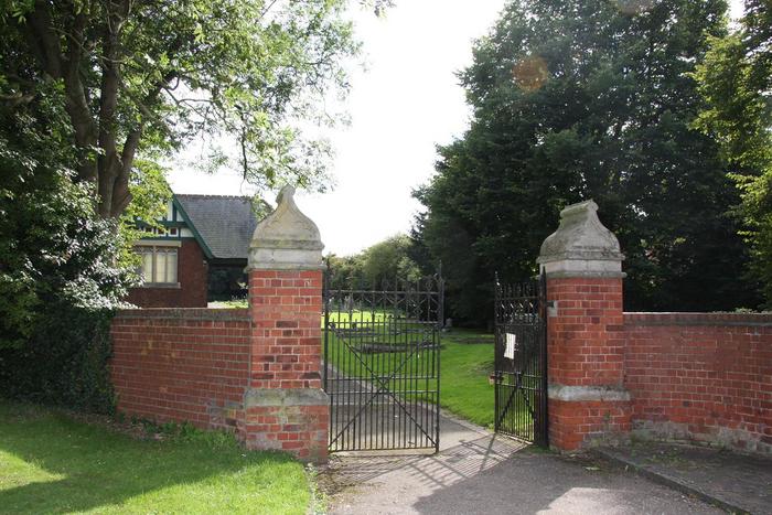
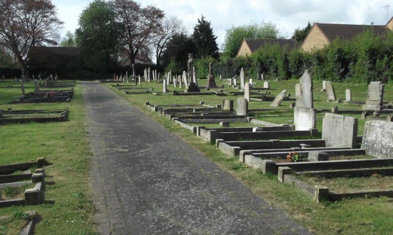
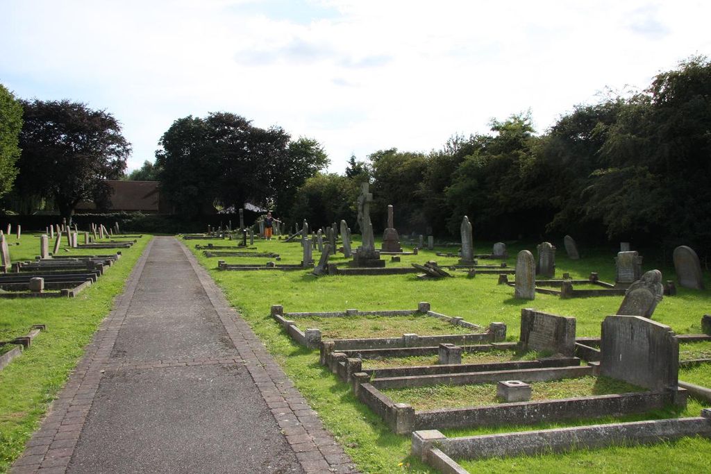
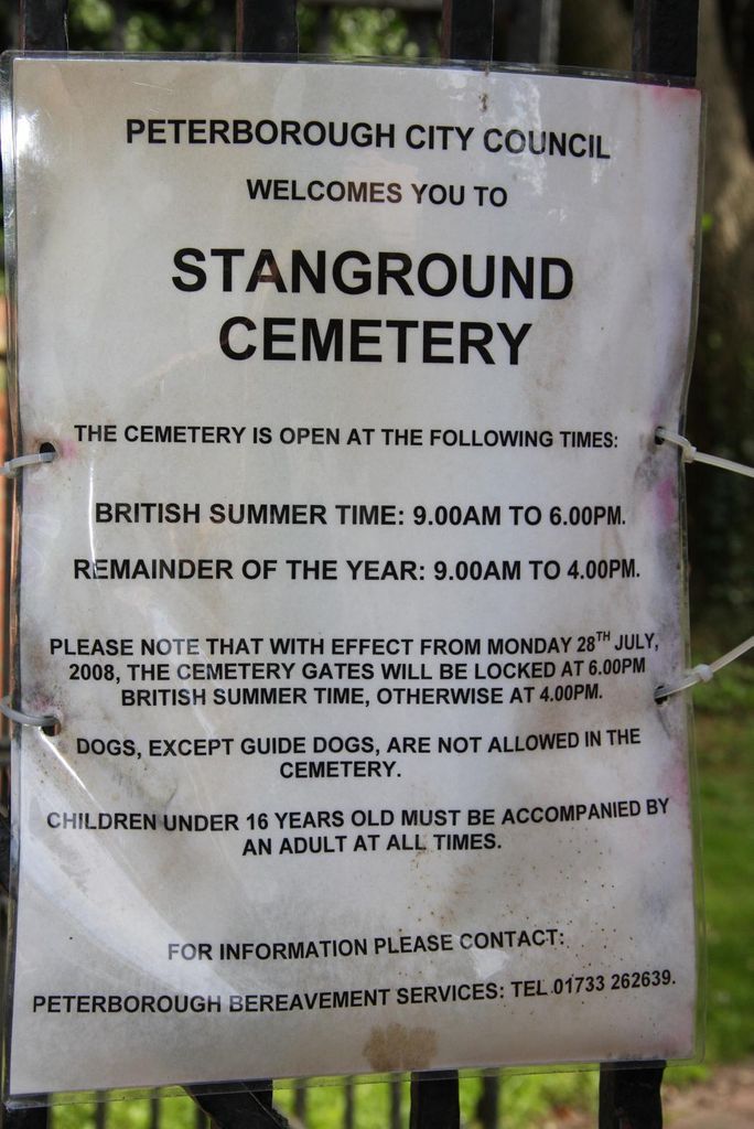
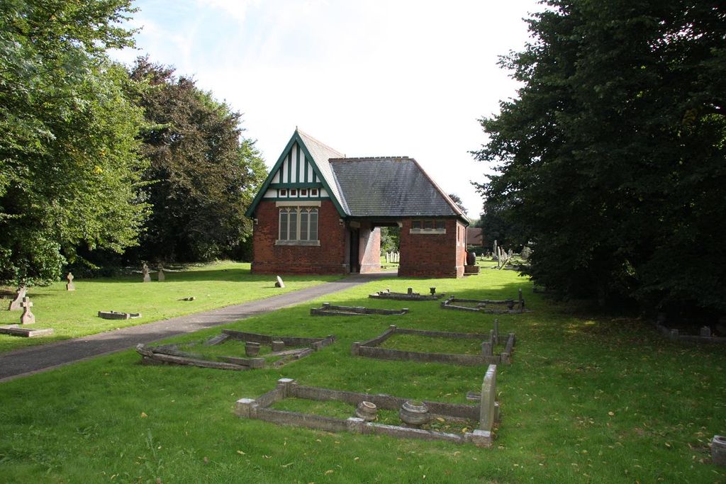
| Description | : | Situated adjacent to Stanground Fire Station, Peterborough Road, Stanground Cemetery, opened in 1890. |
frequently asked questions (FAQ):
-
Where is Stanground Cemetery?
Stanground Cemetery is located at Stanground, Peterborough Unitary Authority ,Cambridgeshire ,England.
-
Stanground Cemetery cemetery's updated grave count on graveviews.com?
0 memorials
-
Where are the coordinates of the Stanground Cemetery?
Latitude: 52.5516860
Longitude: -0.2273100
Nearby Cemetories:
1. St. Margaret's churchyard
Fletton, Peterborough Unitary Authority, England
Coordinate: 52.5584400, -0.2350100
2. Fletton Cemetery
Fletton, Peterborough Unitary Authority, England
Coordinate: 52.5611534, -0.2350550
3. Woodston Cemetery
Woodston, Peterborough Unitary Authority, England
Coordinate: 52.5607090, -0.2529700
4. Peterborough Cathedral
Peterborough, Peterborough Unitary Authority, England
Coordinate: 52.5725280, -0.2392390
5. St. John the Baptist Church
Peterborough, Peterborough Unitary Authority, England
Coordinate: 52.5727200, -0.2438210
6. Broadway Cemetery
Peterborough, Peterborough Unitary Authority, England
Coordinate: 52.5796750, -0.2350260
7. All Saints at Botolphbridge (Not Extant)
Orton Longueville, Peterborough Unitary Authority, England
Coordinate: 52.5615344, -0.2731584
8. Eastfield Cemetery
Peterborough, Peterborough Unitary Authority, England
Coordinate: 52.5890690, -0.2225360
9. Yaxley Cemetery
Peterborough, Peterborough Unitary Authority, England
Coordinate: 52.5137400, -0.2700500
10. Saint Peter's Churchyard
Yaxley, Huntingdonshire District, England
Coordinate: 52.5117400, -0.2672200
11. All Saints Churchyard
Paston, Peterborough Unitary Authority, England
Coordinate: 52.6053690, -0.2576130
12. St. Andrew's Churchyard
Whittlesey, Fenland District, England
Coordinate: 52.5558673, -0.1330800
13. Saint Mary's Churchyard
Whittlesey, Fenland District, England
Coordinate: 52.5556600, -0.1278000
14. Alwalton Cemetery
Alwalton, Huntingdonshire District, England
Coordinate: 52.5501113, -0.3288831
15. St. Andrew's Church
Alwalton, Huntingdonshire District, England
Coordinate: 52.5495800, -0.3297610
16. Saint Matthew's Churchyard
Eye, Peterborough Unitary Authority, England
Coordinate: 52.6094813, -0.1866602
17. Whittlesey Cemetery
Whittlesey, Fenland District, England
Coordinate: 52.5583700, -0.1232450
18. Eye Cemetery
Eye, Peterborough Unitary Authority, England
Coordinate: 52.6110938, -0.1859580
19. St. Thomas Churchyard
Pondersbridge, Fenland District, England
Coordinate: 52.5107400, -0.1427800
20. Peterborough Crematorium
Bretton, Peterborough Unitary Authority, England
Coordinate: 52.6047280, -0.2915090
21. Saint John the Baptist Churchyard
Werrington, Peterborough Unitary Authority, England
Coordinate: 52.6134500, -0.2734500
22. St. Michael's Churchyard
Chesterton, Huntingdonshire District, England
Coordinate: 52.5451434, -0.3400366
23. St. Mary's Churchyard
Peterborough, Peterborough Unitary Authority, England
Coordinate: 52.5184227, -0.3295881
24. St Mary The Virgin Churchyard
Marholm, Peterborough Unitary Authority, England
Coordinate: 52.6029760, -0.3089570