
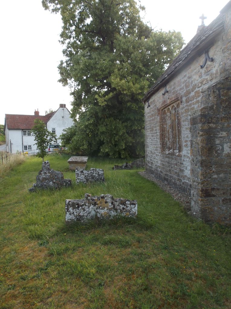
| Memorials | : | 0 |
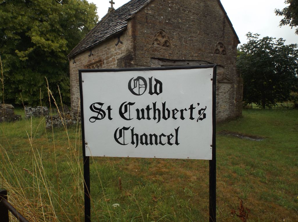
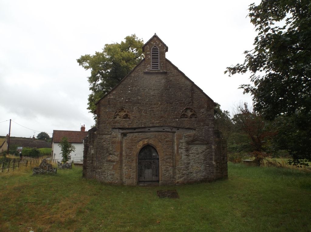
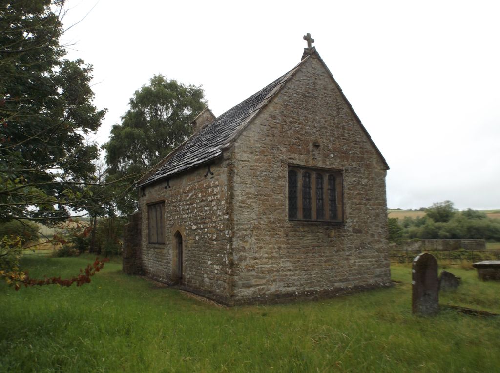
| Location | : | Oborne, West Dorset District, England |
| Coordinate | : | 50.9588620, -2.4947350 |
frequently asked questions (FAQ):
-
Where is St. Cuthbert's Old Church?
St. Cuthbert's Old Church is located at Oborne, West Dorset District ,Dorset ,England.
-
St. Cuthbert's Old Church cemetery's updated grave count on graveviews.com?
0 memorials
-
Where are the coordinates of the St. Cuthbert's Old Church?
Latitude: 50.9588620
Longitude: -2.4947350
Nearby Cemetories:
1. St Cuthbert Churchyard
Oborne, West Dorset District, England
Coordinate: 50.9649280, -2.4941270
2. St Mary Magdalene Churchyard
Castleton, West Dorset District, England
Coordinate: 50.9496210, -2.5050130
3. Union Chapel
Sherborne, West Dorset District, England
Coordinate: 50.9475310, -2.5136220
4. Sherborne Abbey
Sherborne, West Dorset District, England
Coordinate: 50.9466680, -2.5166680
5. All Saints Churchyard
Poyntington, West Dorset District, England
Coordinate: 50.9782070, -2.4997530
6. St. Peter's Churchyard
Goathill, West Dorset District, England
Coordinate: 50.9534230, -2.4628960
7. Milborne Port Churchyard
Milborne Port, South Somerset District, England
Coordinate: 50.9653900, -2.4621550
8. Milborne Port Cemetery
Milborne Port, South Somerset District, England
Coordinate: 50.9662940, -2.4605880
9. St. Catherine's Churchyard
Haydon, West Dorset District, England
Coordinate: 50.9404290, -2.4702910
10. Sherborne Cemetery
Sherborne, West Dorset District, England
Coordinate: 50.9420010, -2.5266500
11. St. Mary Magdalene Churchyard
North Wootton, West Dorset District, England
Coordinate: 50.9281260, -2.4895320
12. St. Peter's Churchyard
Purse Caundle, West Dorset District, England
Coordinate: 50.9569440, -2.4342330
13. Purse Caundle Civic Cemetery
Purse Caundle, West Dorset District, England
Coordinate: 50.9553680, -2.4327770
14. St. Nicholas Churchyard
Sandford Orcas, West Dorset District, England
Coordinate: 50.9874190, -2.5394460
15. St Lawrence Churchyard
Folke, West Dorset District, England
Coordinate: 50.9179430, -2.4854020
16. Corton Denham Cemetery
Corton Denham, South Somerset District, England
Coordinate: 51.0015810, -2.5202380
17. Saint Andrew Churchyard
Corton Denham, South Somerset District, England
Coordinate: 51.0015790, -2.5203100
18. St. James The Great Churchyard
Longburton, West Dorset District, England
Coordinate: 50.9130390, -2.5010040
19. St. Peter and St. Paul's Churchyard
Caundle Marsh, West Dorset District, England
Coordinate: 50.9176840, -2.4596680
20. Saint Peter & Saint Paul Churchyard
Charlton Horethorne, South Somerset District, England
Coordinate: 51.0060200, -2.4790100
21. Nether Compton Cemetery
Nether Compton, West Dorset District, England
Coordinate: 50.9531610, -2.5732420
22. St Nicholas Churchyard
Nether Compton, West Dorset District, England
Coordinate: 50.9531610, -2.5732420
23. St. Martin’s Churchyard
Lilington, West Dorset District, England
Coordinate: 50.9126140, -2.5283700
24. Long Burton Methodist Churchyard
Longburton, West Dorset District, England
Coordinate: 50.9074120, -2.4988250