
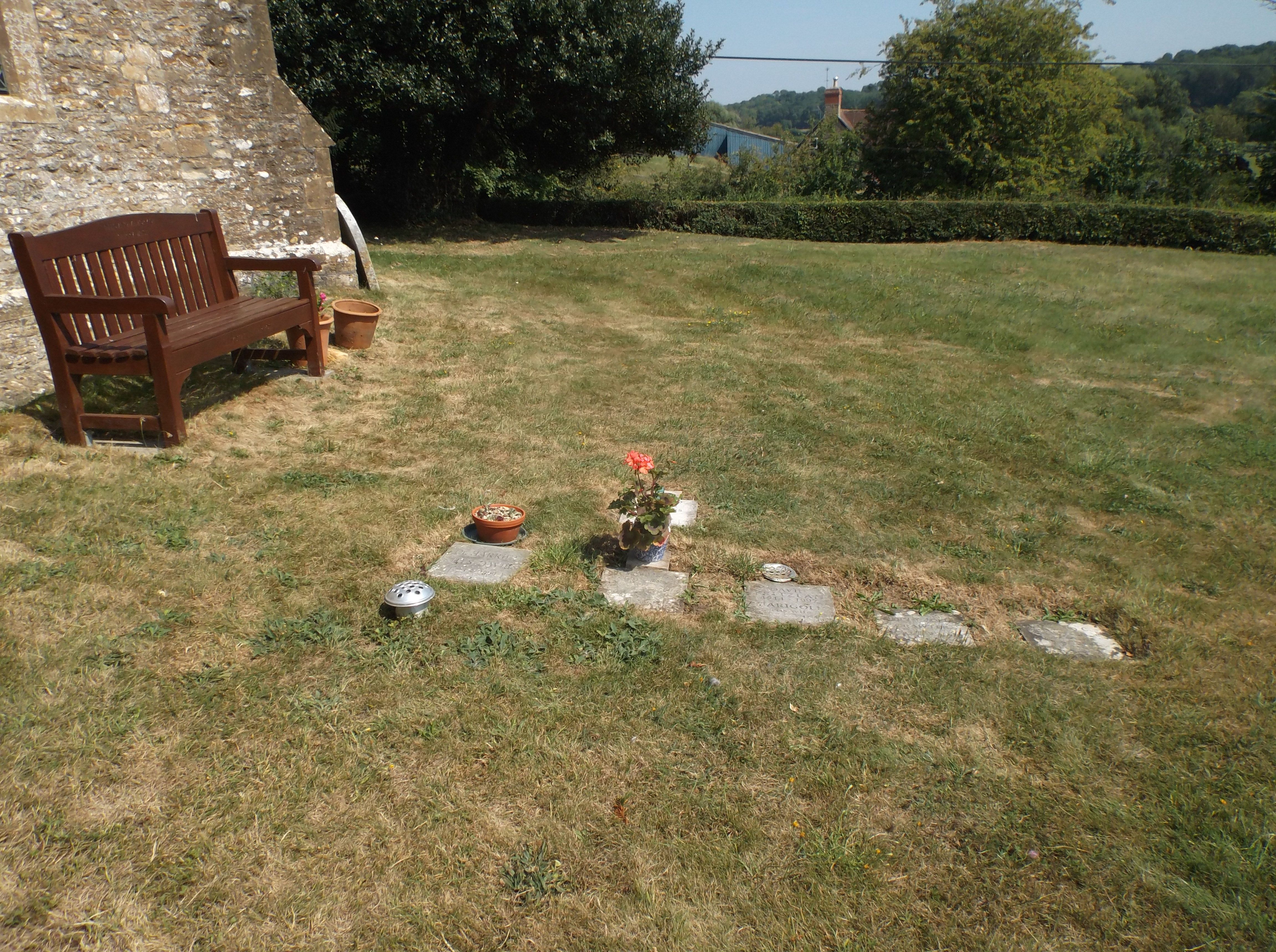
| Memorials | : | 25 |
| Location | : | Goathill, West Dorset District, England |
| Coordinate | : | 50.9534230, -2.4628960 |
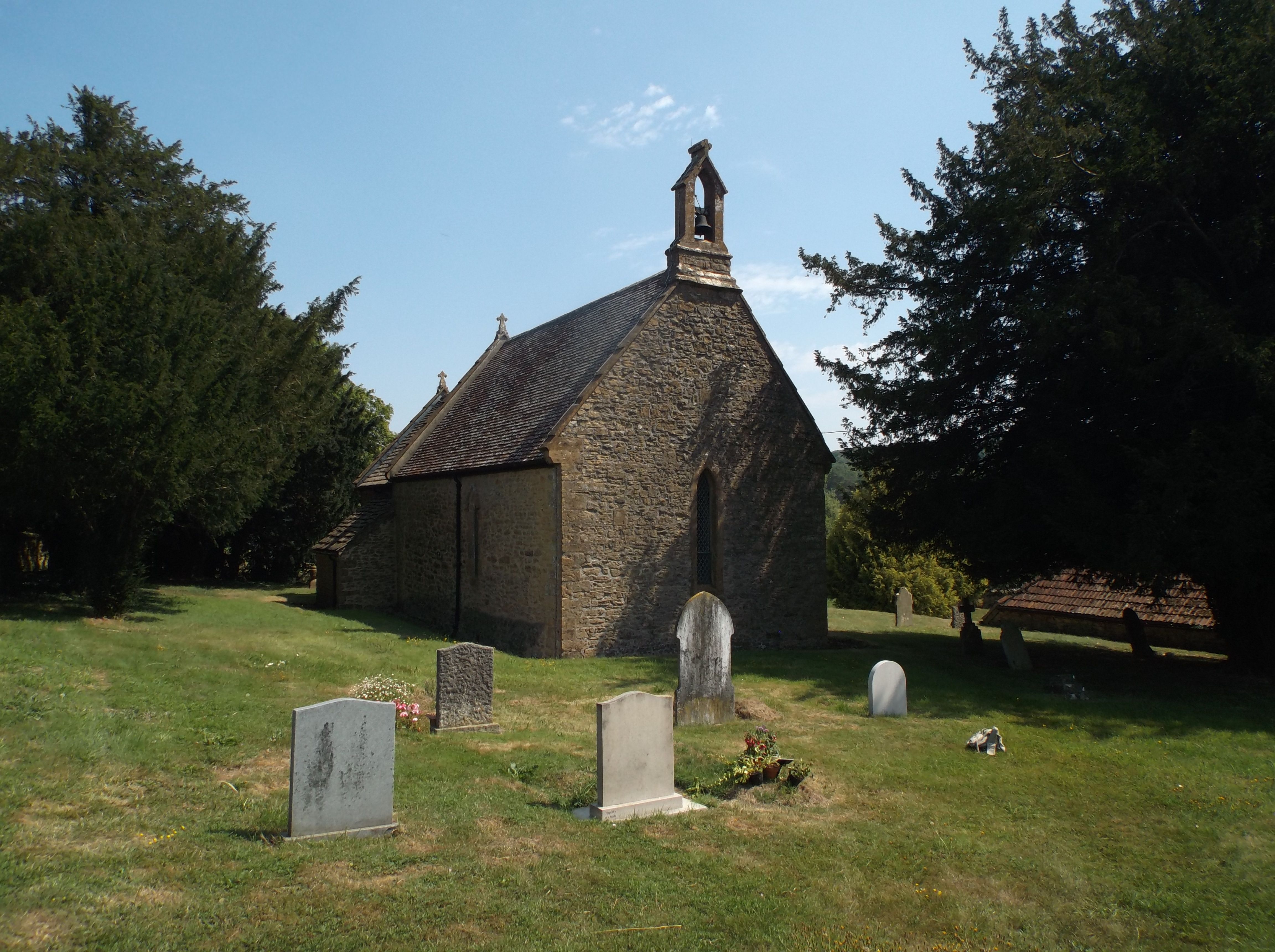
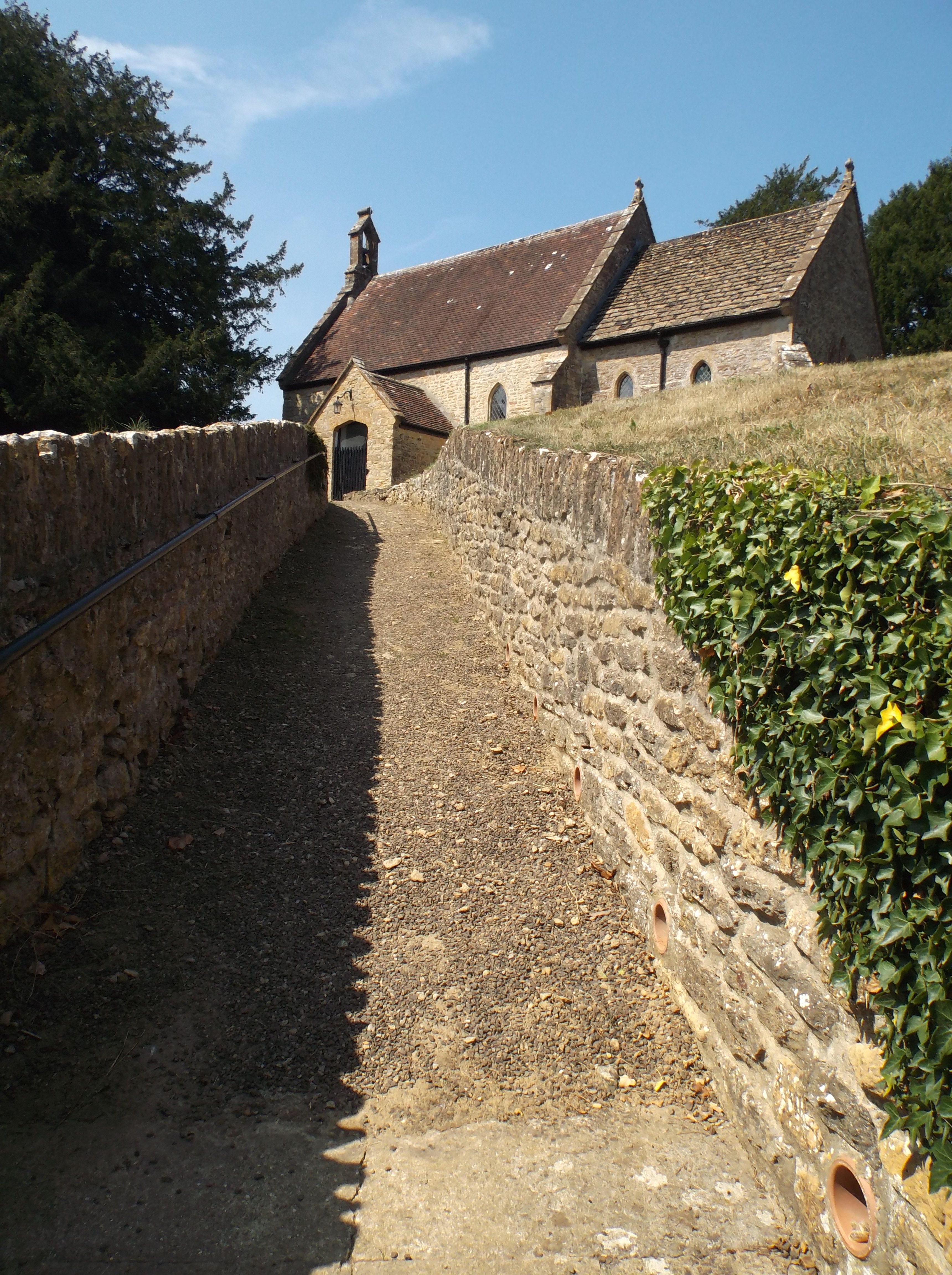
| Description | : | The present Church, thought to have been built about 1233, is of early English style architecture, restored in the 19th century, but replacing a previous building. The nave is 13th century, fragments of 17th century glass are found in the east window. A survey of the font, dated it 100 years older. Much of it's history lay within the county Somerset when, along with Poyntington, Sandford Orcas, Seaborough and Trent, moved into Dorset during the boundary changes of 1896 ~ J.D |
frequently asked questions (FAQ):
-
Where is St. Peter's Churchyard?
St. Peter's Churchyard is located at Goathill Road Goathill, West Dorset District ,Dorset , DT9 5JDEngland.
-
St. Peter's Churchyard cemetery's updated grave count on graveviews.com?
25 memorials
-
Where are the coordinates of the St. Peter's Churchyard?
Latitude: 50.9534230
Longitude: -2.4628960
Nearby Cemetories:
1. Milborne Port Churchyard
Milborne Port, South Somerset District, England
Coordinate: 50.9653900, -2.4621550
2. Milborne Port Cemetery
Milborne Port, South Somerset District, England
Coordinate: 50.9662940, -2.4605880
3. St. Catherine's Churchyard
Haydon, West Dorset District, England
Coordinate: 50.9404290, -2.4702910
4. St. Peter's Churchyard
Purse Caundle, West Dorset District, England
Coordinate: 50.9569440, -2.4342330
5. Purse Caundle Civic Cemetery
Purse Caundle, West Dorset District, England
Coordinate: 50.9553680, -2.4327770
6. St. Cuthbert's Old Church
Oborne, West Dorset District, England
Coordinate: 50.9588620, -2.4947350
7. St Cuthbert Churchyard
Oborne, West Dorset District, England
Coordinate: 50.9649280, -2.4941270
8. St Mary Magdalene Churchyard
Castleton, West Dorset District, England
Coordinate: 50.9496210, -2.5050130
9. St. Mary Magdalene Churchyard
North Wootton, West Dorset District, England
Coordinate: 50.9281260, -2.4895320
10. Union Chapel
Sherborne, West Dorset District, England
Coordinate: 50.9475310, -2.5136220
11. All Saints Churchyard
Poyntington, West Dorset District, England
Coordinate: 50.9782070, -2.4997530
12. Sherborne Abbey
Sherborne, West Dorset District, England
Coordinate: 50.9466680, -2.5166680
13. St. Peter and St. Paul's Churchyard
Caundle Marsh, West Dorset District, England
Coordinate: 50.9176840, -2.4596680
14. St Lawrence Churchyard
Folke, West Dorset District, England
Coordinate: 50.9179430, -2.4854020
15. St. Peter's Churchyard
Stourton Caundle, North Dorset District, England
Coordinate: 50.9354210, -2.4080470
16. Stourton Caundle Civic Cemetery
Stourton Caundle, North Dorset District, England
Coordinate: 50.9349030, -2.4065510
17. Bishop's Caundle Extension Cemetery
Bishops Caundle, West Dorset District, England
Coordinate: 50.9169370, -2.4343580
18. Bishops Caundle
Bishops Caundle, West Dorset District, England
Coordinate: 50.9171310, -2.4336400
19. Sherborne Cemetery
Sherborne, West Dorset District, England
Coordinate: 50.9420010, -2.5266500
20. St. James The Great Churchyard
Longburton, West Dorset District, England
Coordinate: 50.9130390, -2.5010040
21. St Nicholas Churchyard
Henstridge, South Somerset District, England
Coordinate: 50.9762610, -2.3957980
22. Long Burton Methodist Churchyard
Longburton, West Dorset District, England
Coordinate: 50.9074120, -2.4988250
23. Saint Laurence Churchyard
Holwell, West Dorset District, England
Coordinate: 50.9063460, -2.4288180
24. St Mary Churchyard
Stalbridge, North Dorset District, England
Coordinate: 50.9623690, -2.3808740