
| Memorials | : | 0 |
| Location | : | Haydon, West Dorset District, England |
| Coordinate | : | 50.9404290, -2.4702910 |
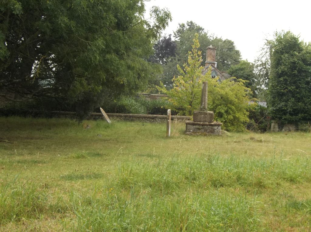
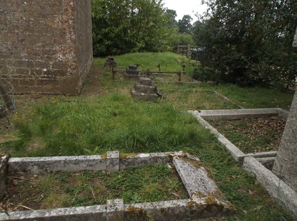
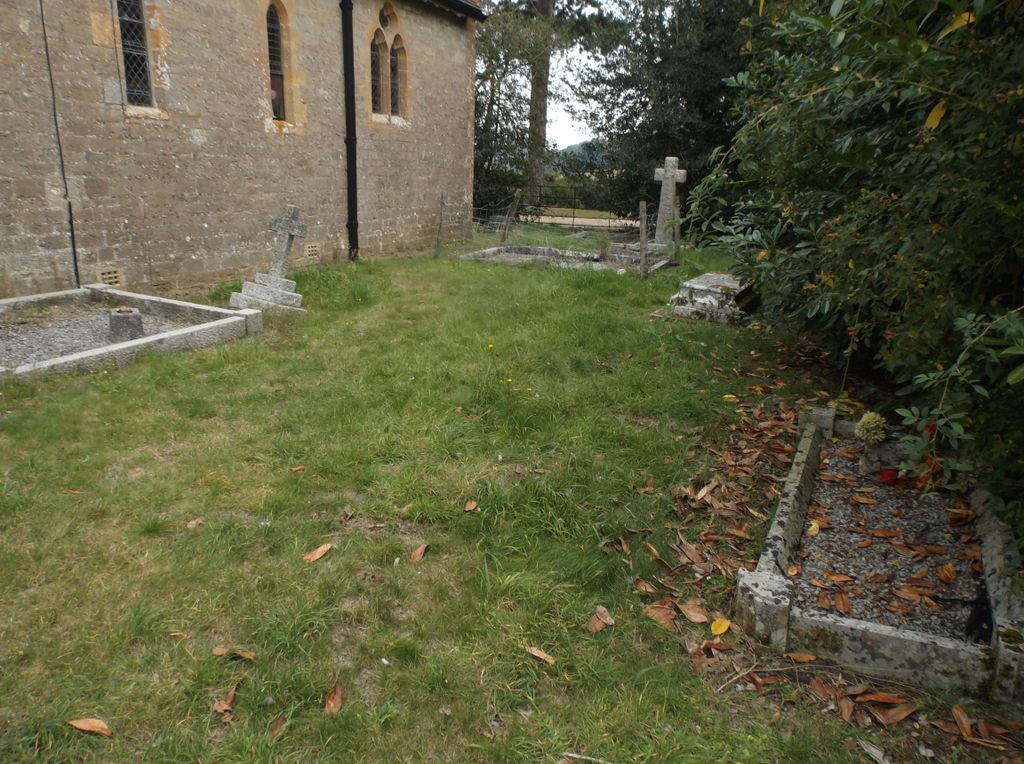
| Description | : | Haydon is a parish on the border with Somerset and is two miles south east of Sherborne. To the north west and west are the parishes of Purse Caundle and Stourton Caundle, to the south is Folke. North Wootton is to the west and Sherborne forms the north west boundary. The little church of St Catherine was entirely rebuilt on a new site in 1883 by Carpenter & Ingelow. It has now been converted for residential use. The registers date from 1708. The parish is 468 acres, mostly laid to pasture and the population in 1891 was 71 persons. Boys Hill... Read More |
frequently asked questions (FAQ):
-
Where is St. Catherine's Churchyard?
St. Catherine's Churchyard is located at Haydon, West Dorset District ,Dorset ,England.
-
St. Catherine's Churchyard cemetery's updated grave count on graveviews.com?
0 memorials
-
Where are the coordinates of the St. Catherine's Churchyard?
Latitude: 50.9404290
Longitude: -2.4702910

Nearby Cemetories:
1. St. Peter's Churchyard
Goathill, West Dorset District, England
Coordinate: 50.9534230, -2.4628960
2. St. Mary Magdalene Churchyard
North Wootton, West Dorset District, England
Coordinate: 50.9281260, -2.4895320
3. St. Peter and St. Paul's Churchyard
Caundle Marsh, West Dorset District, England
Coordinate: 50.9176840, -2.4596680
4. St Mary Magdalene Churchyard
Castleton, West Dorset District, England
Coordinate: 50.9496210, -2.5050130
5. St. Cuthbert's Old Church
Oborne, West Dorset District, England
Coordinate: 50.9588620, -2.4947350
6. St Lawrence Churchyard
Folke, West Dorset District, England
Coordinate: 50.9179430, -2.4854020
7. Milborne Port Churchyard
Milborne Port, South Somerset District, England
Coordinate: 50.9653900, -2.4621550
8. Milborne Port Cemetery
Milborne Port, South Somerset District, England
Coordinate: 50.9662940, -2.4605880
9. Purse Caundle Civic Cemetery
Purse Caundle, West Dorset District, England
Coordinate: 50.9553680, -2.4327770
10. St. Peter's Churchyard
Purse Caundle, West Dorset District, England
Coordinate: 50.9569440, -2.4342330
11. Union Chapel
Sherborne, West Dorset District, England
Coordinate: 50.9475310, -2.5136220
12. St Cuthbert Churchyard
Oborne, West Dorset District, England
Coordinate: 50.9649280, -2.4941270
13. Sherborne Abbey
Sherborne, West Dorset District, England
Coordinate: 50.9466680, -2.5166680
14. Bishop's Caundle Extension Cemetery
Bishops Caundle, West Dorset District, England
Coordinate: 50.9169370, -2.4343580
15. Bishops Caundle
Bishops Caundle, West Dorset District, England
Coordinate: 50.9171310, -2.4336400
16. St. James The Great Churchyard
Longburton, West Dorset District, England
Coordinate: 50.9130390, -2.5010040
17. Sherborne Cemetery
Sherborne, West Dorset District, England
Coordinate: 50.9420010, -2.5266500
18. Long Burton Methodist Churchyard
Longburton, West Dorset District, England
Coordinate: 50.9074120, -2.4988250
19. St. Peter's Churchyard
Stourton Caundle, North Dorset District, England
Coordinate: 50.9354210, -2.4080470
20. Stourton Caundle Civic Cemetery
Stourton Caundle, North Dorset District, England
Coordinate: 50.9349030, -2.4065510
21. All Saints Churchyard
Poyntington, West Dorset District, England
Coordinate: 50.9782070, -2.4997530
22. Saint Laurence Churchyard
Holwell, West Dorset District, England
Coordinate: 50.9063460, -2.4288180
23. St. Martin’s Churchyard
Lilington, West Dorset District, England
Coordinate: 50.9126140, -2.5283700
24. Saint Barnabas Churchyard
Lydlinch, North Dorset District, England
Coordinate: 50.9157030, -2.3961520